Megan’s Take
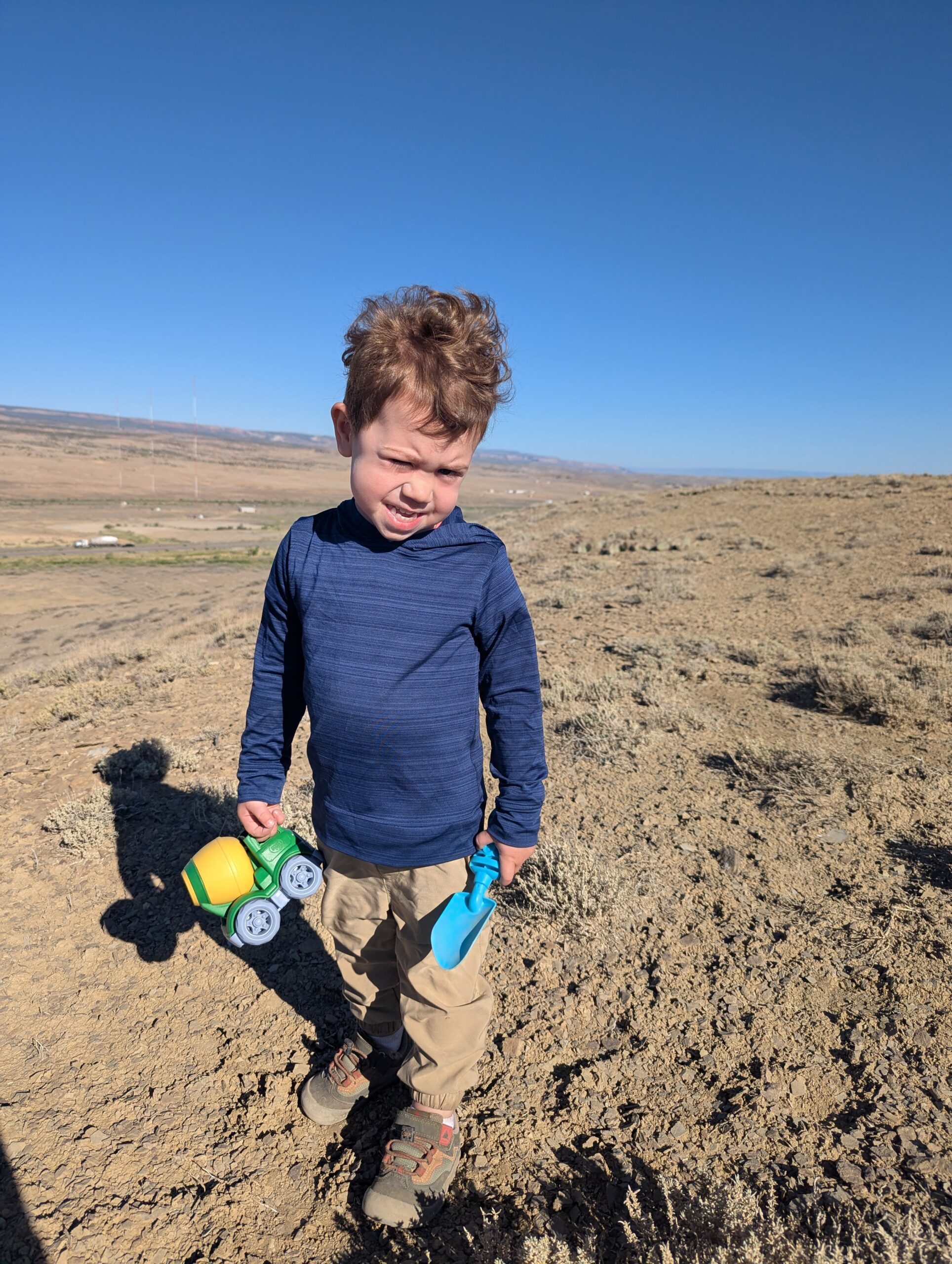
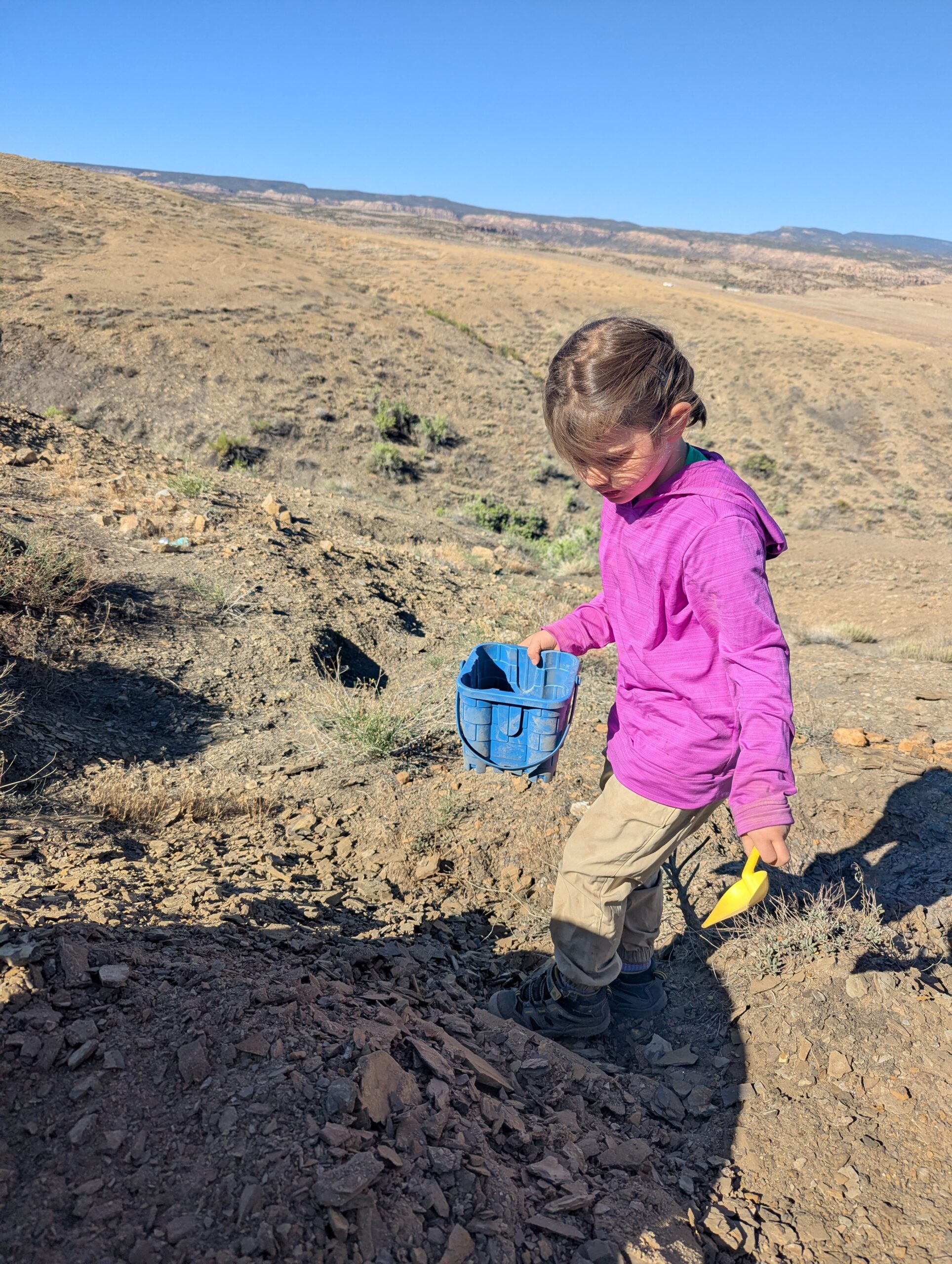
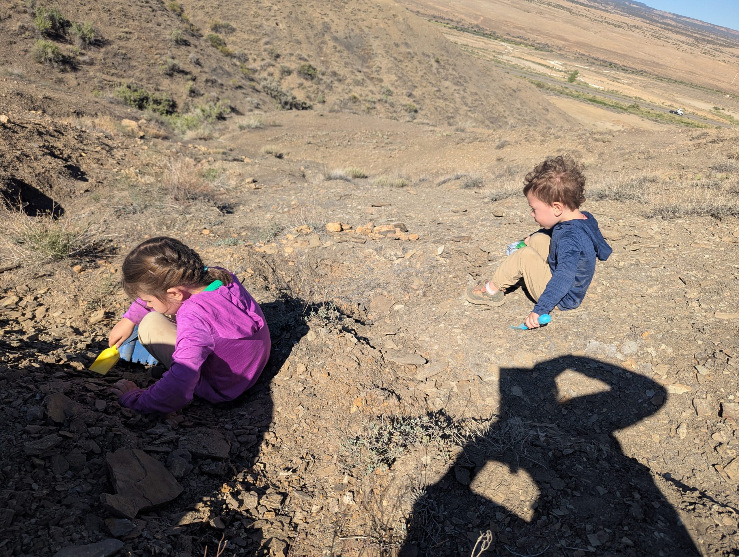
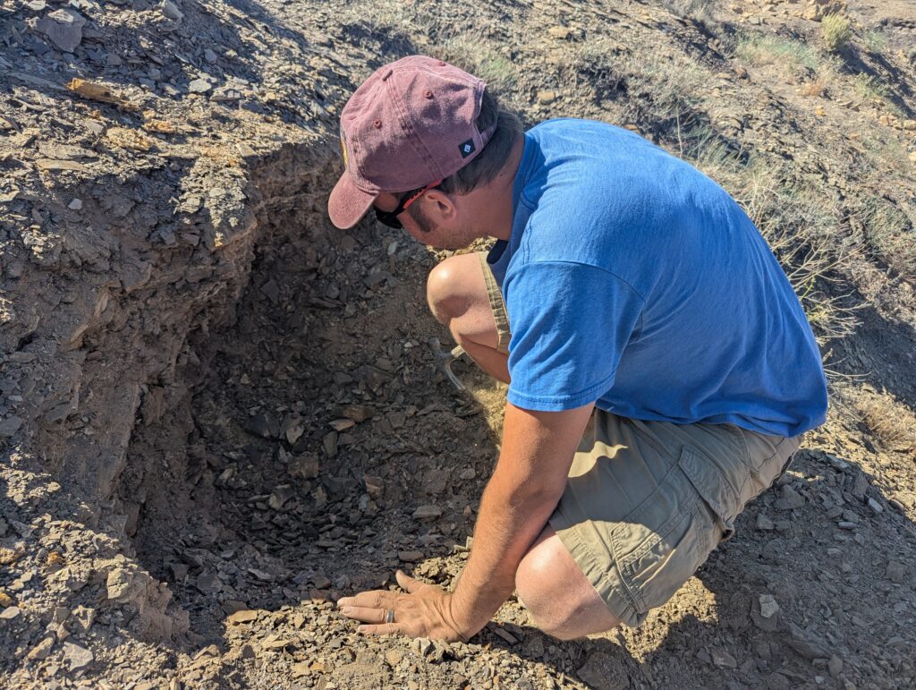
Today was a busy day, starting with rock hounding for geodes near Whitewater CO. I had a tip for an approximate location on BLM land, so we decided to check it out. The hills were very crumbly shale, and the kids and I weren’t finding much when we started to randomly dig. Phil took a more analytical approach and found some very interesting quartz/crystals buried under the shale.
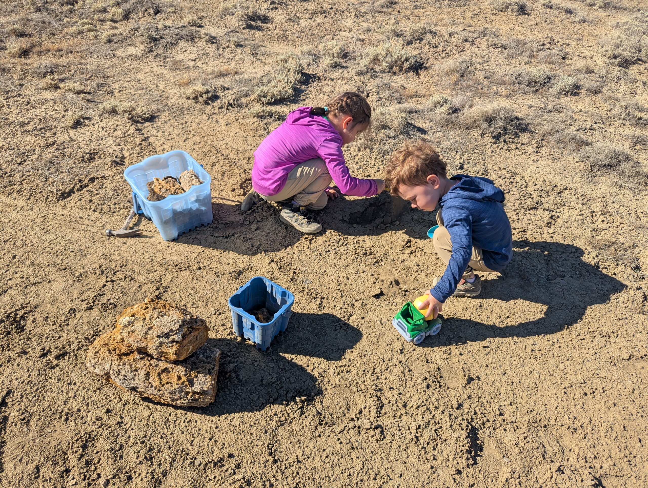
We had fun digging them out. They are considered Whitewater “geodes”, although they’re not the typical geodes we think of with crystals enclosed within the rock. We collected them to bring home and study further.
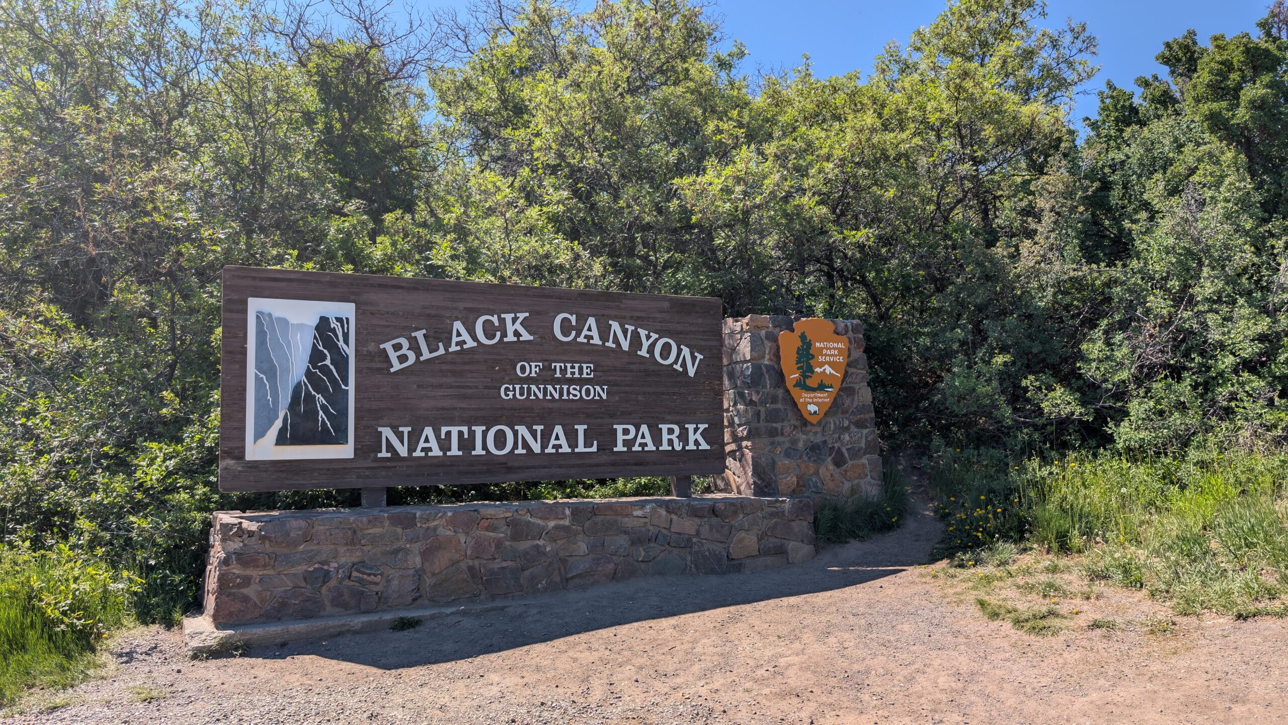
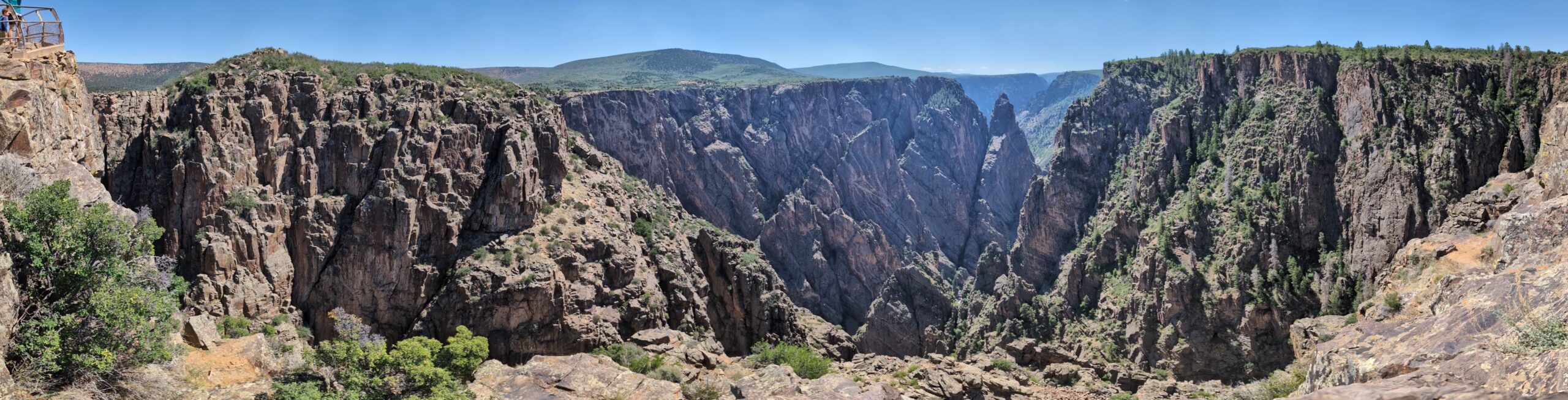
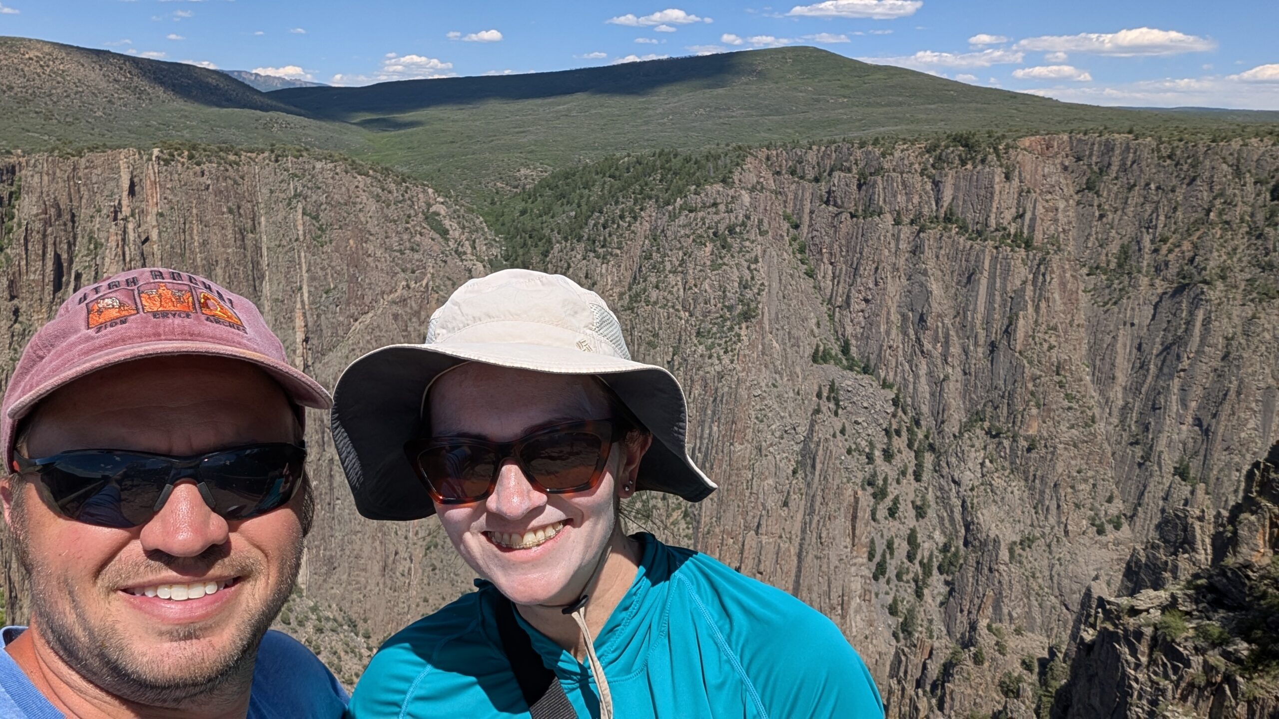
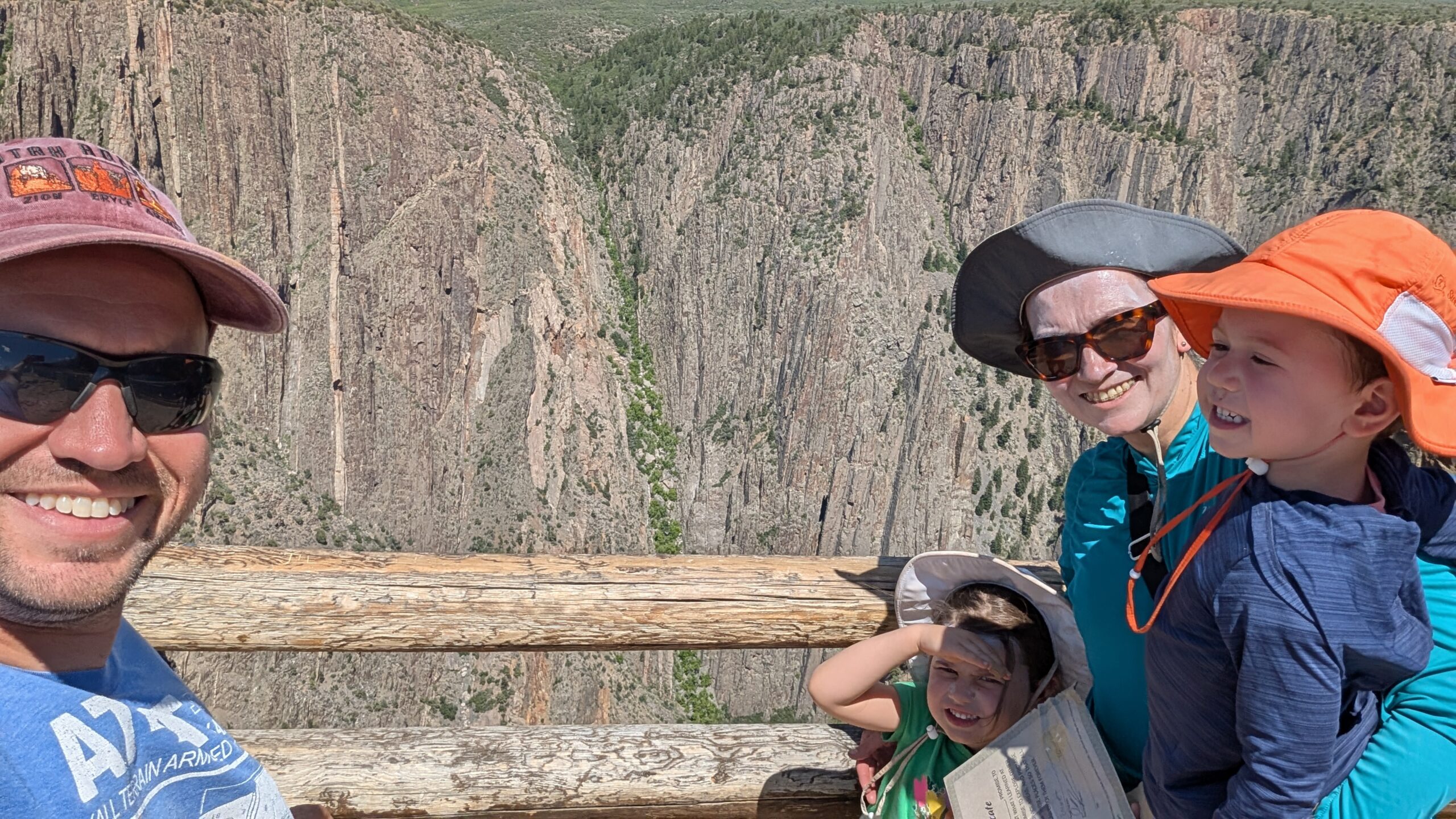
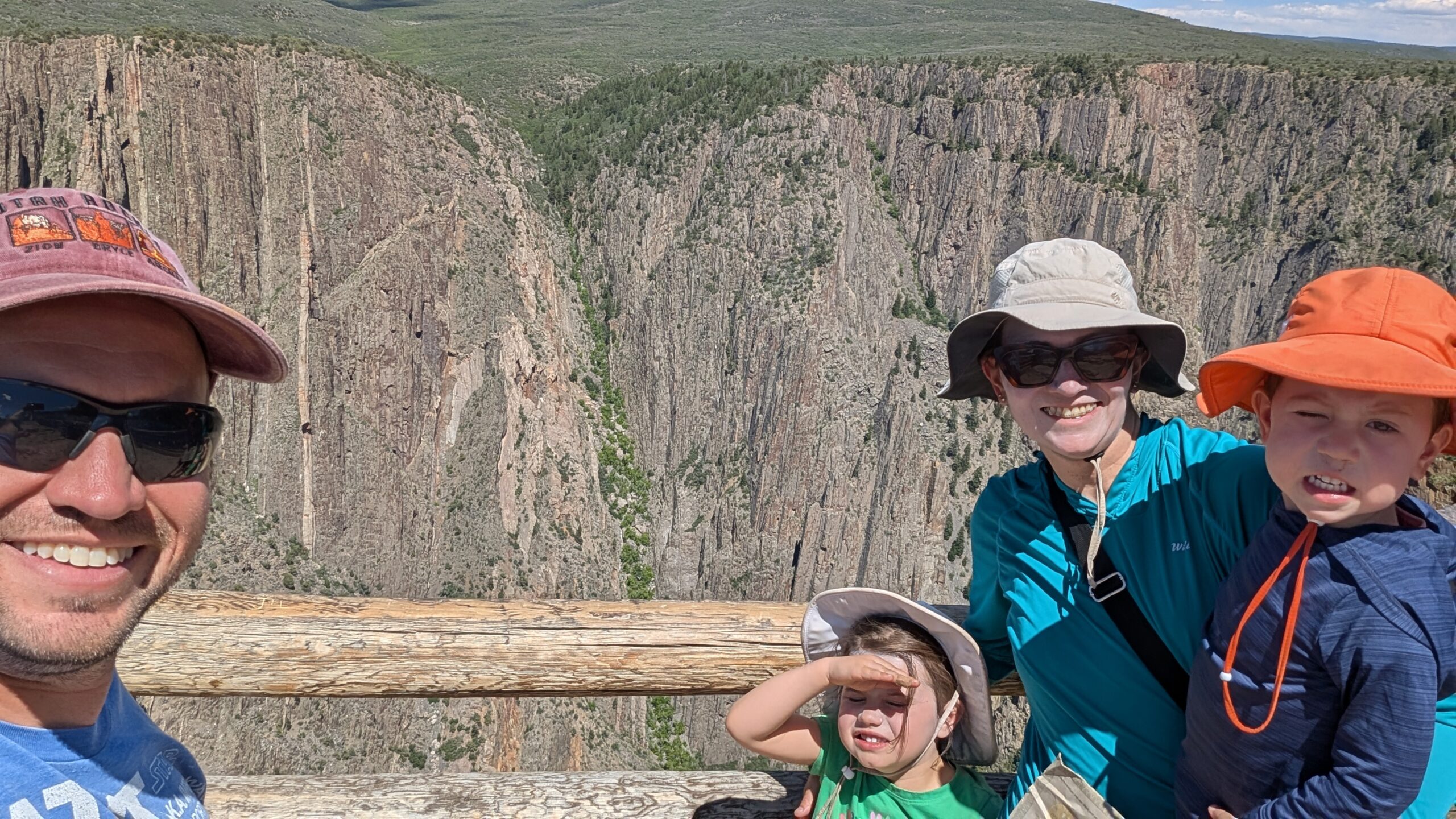
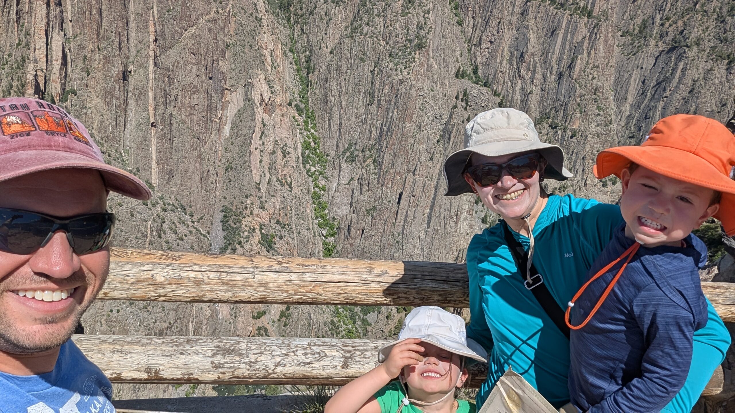
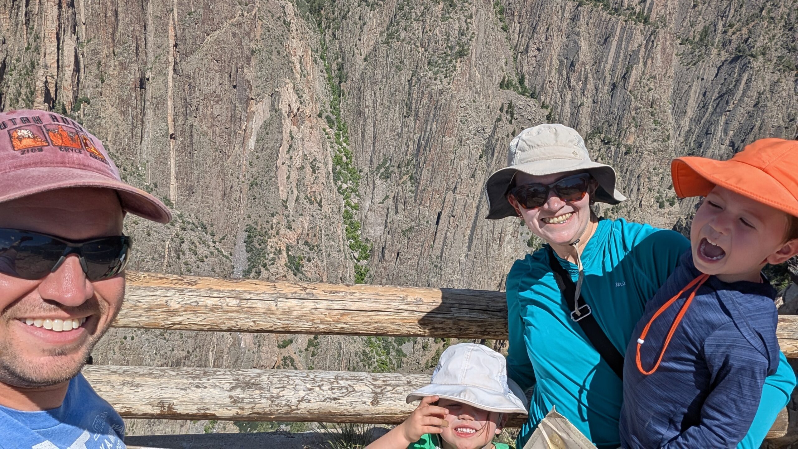
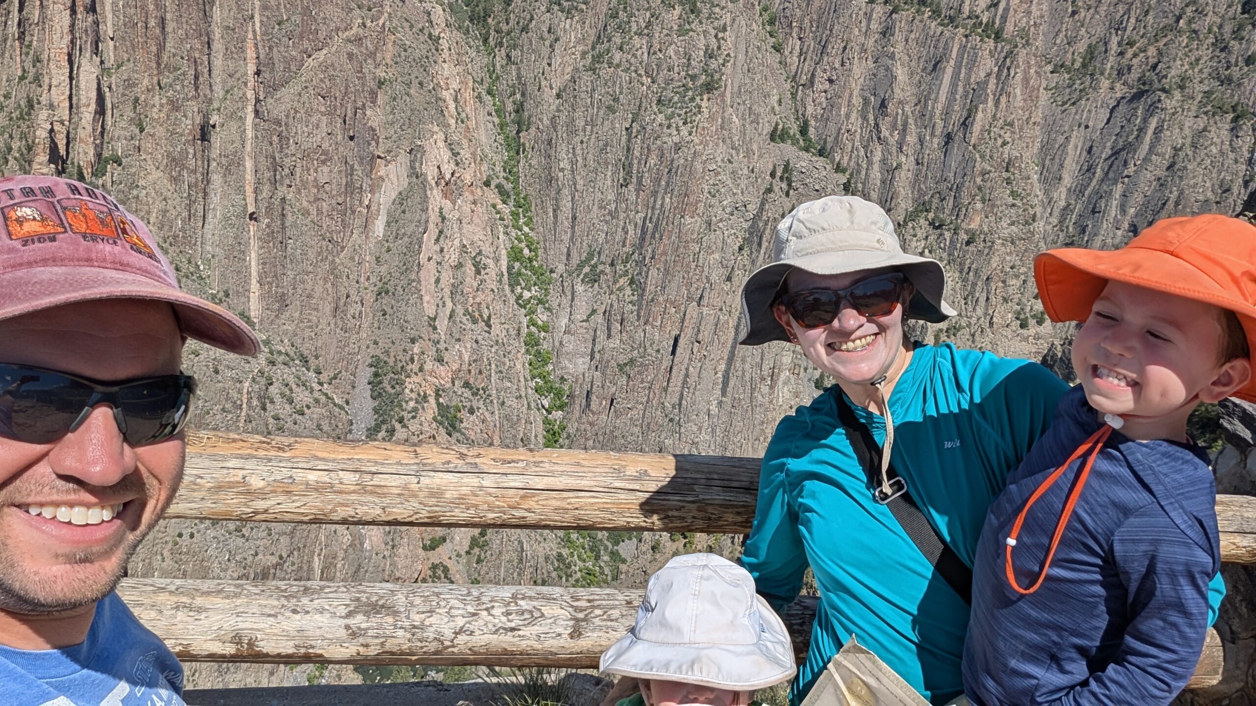
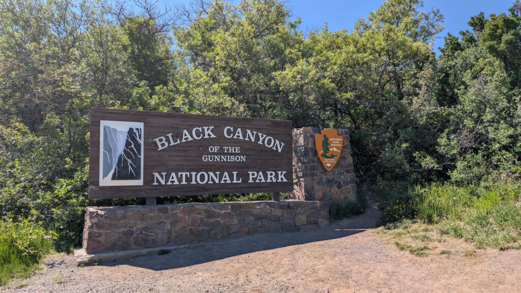
We spent late morning to early afternoon at the Black Canyon of the Gunnison National Park.
The park has several very short hikes/walks to overlooks along the scenic drive, and that was the extent of my hiking with the kids today.

Phil hiked a 1.5 mile trail while Emmett was napping in the truck, but otherwise, the kids seemed to hit their limit just from overlooks. The canyon is so steep and deep that it’s hard to get perspective on exactly how far down you’re looking but it’s rather impressive.
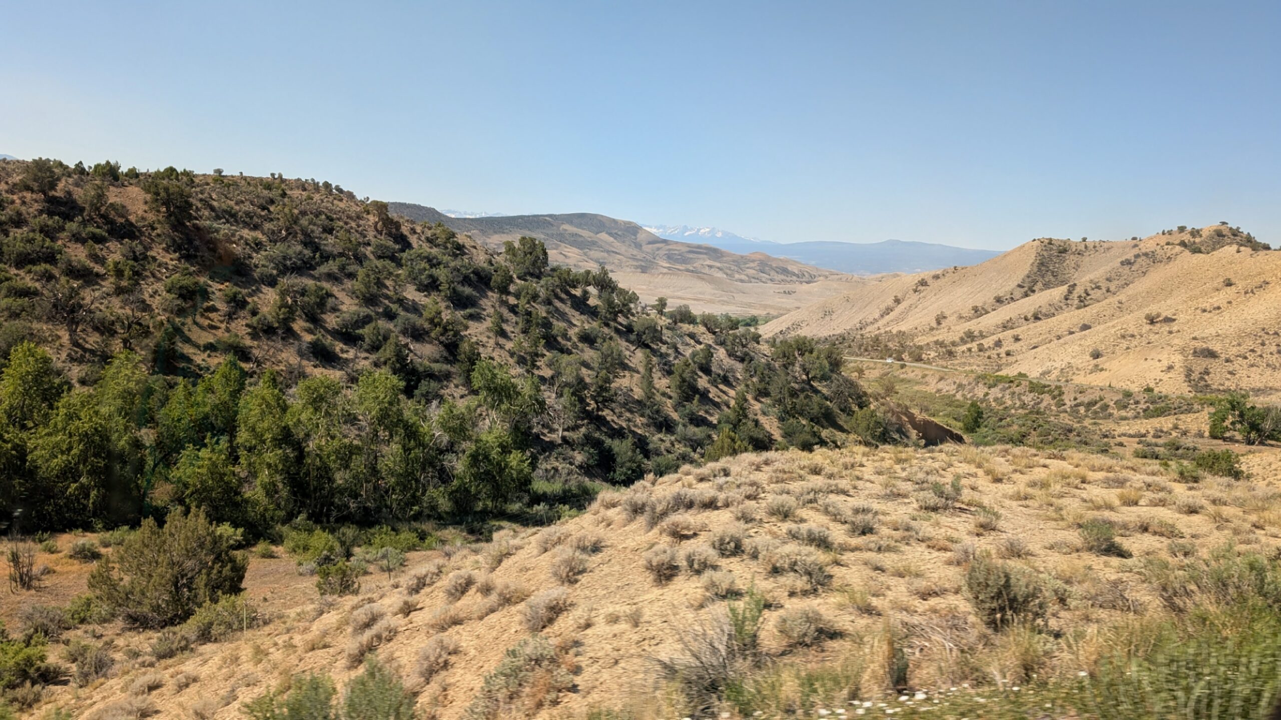
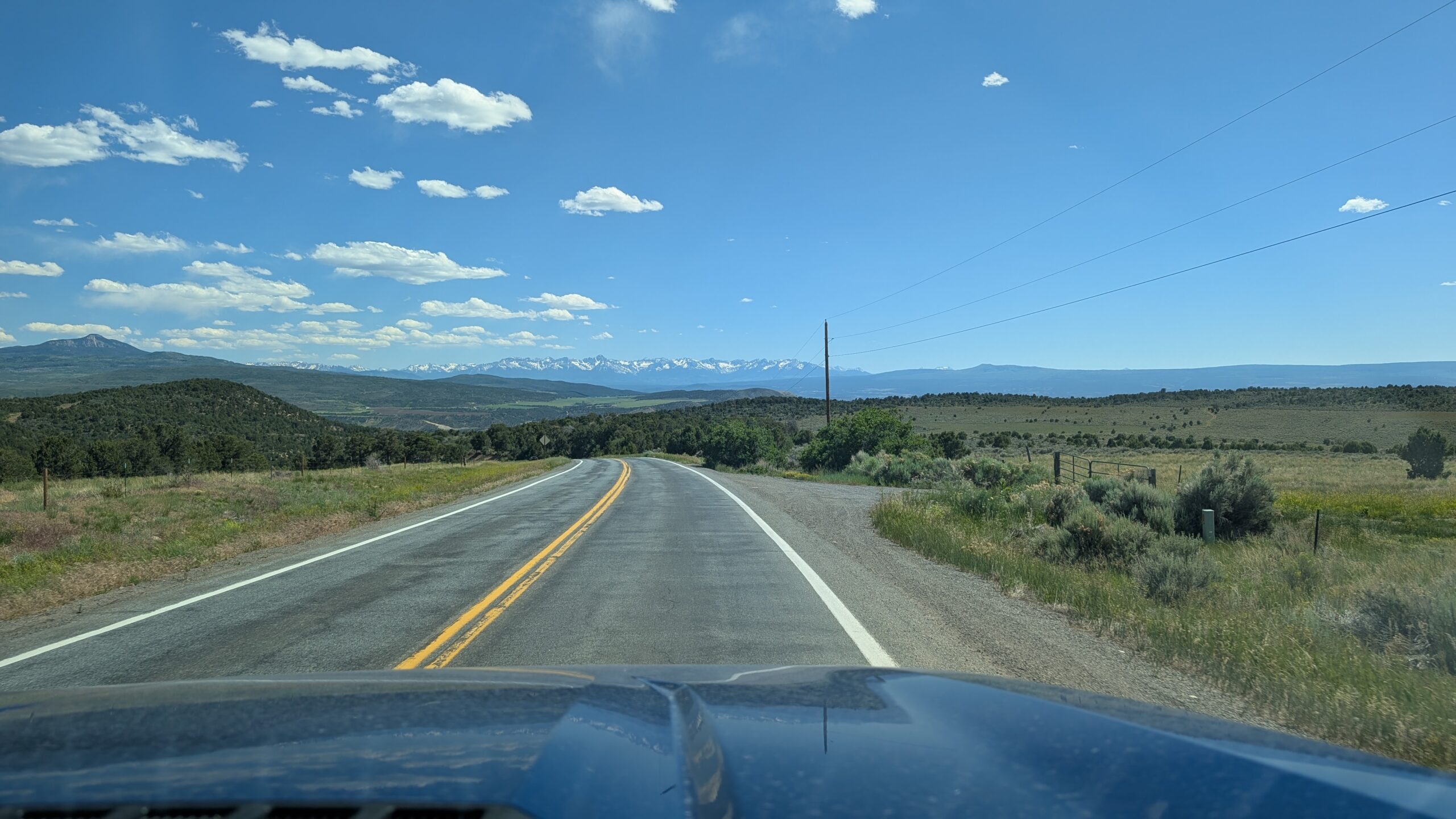
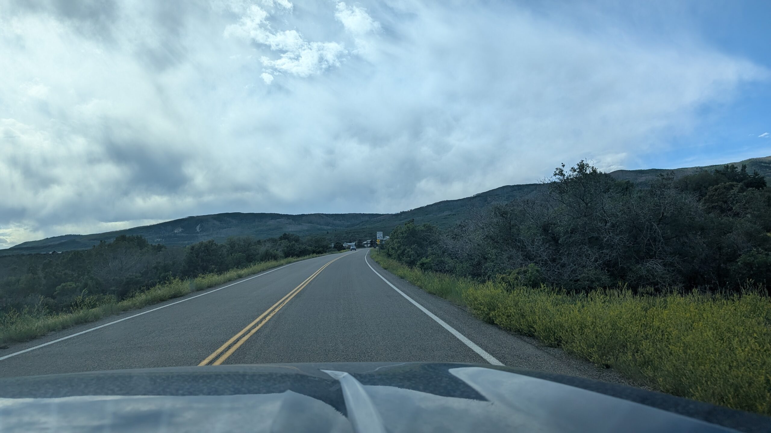
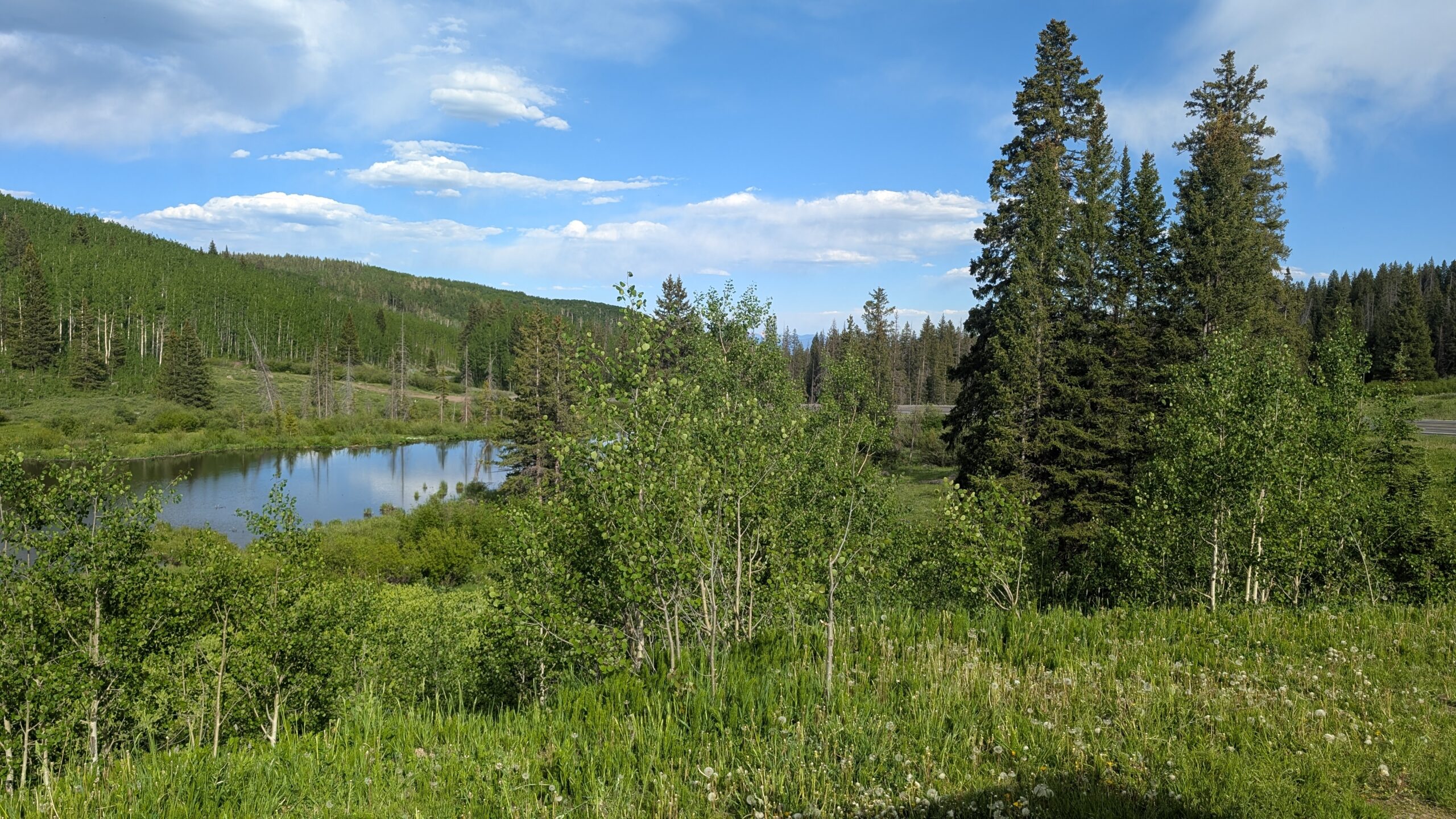
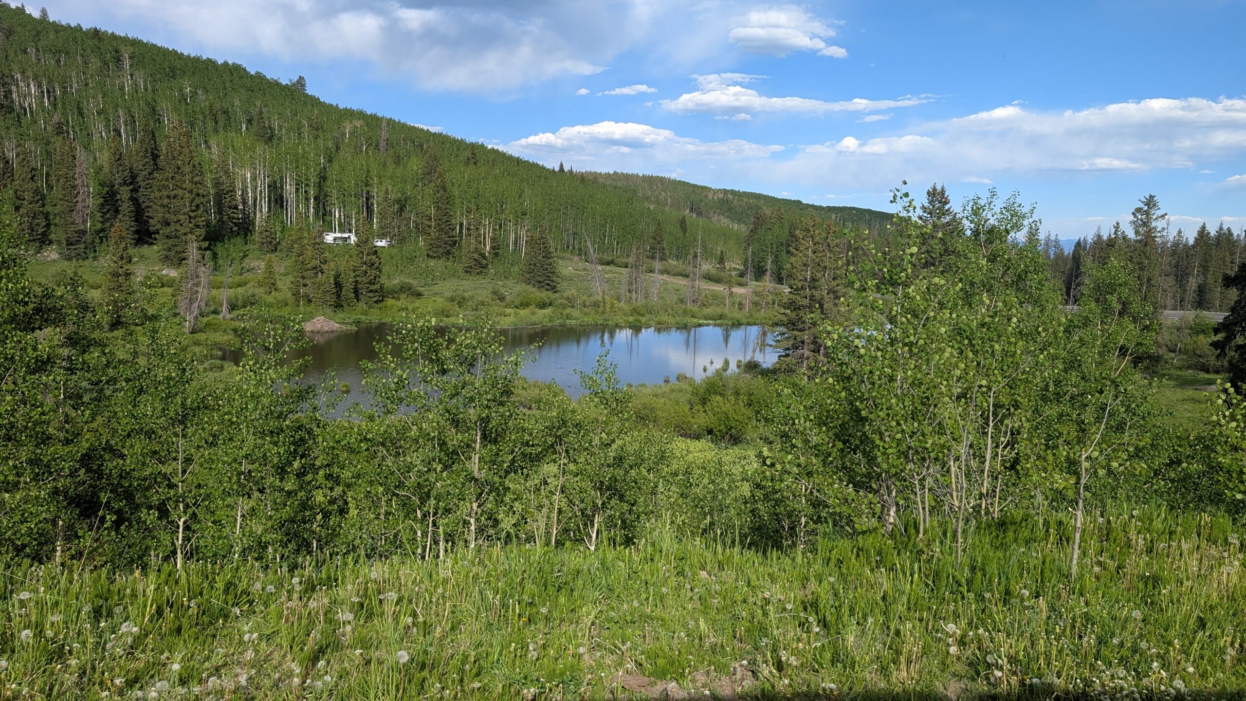
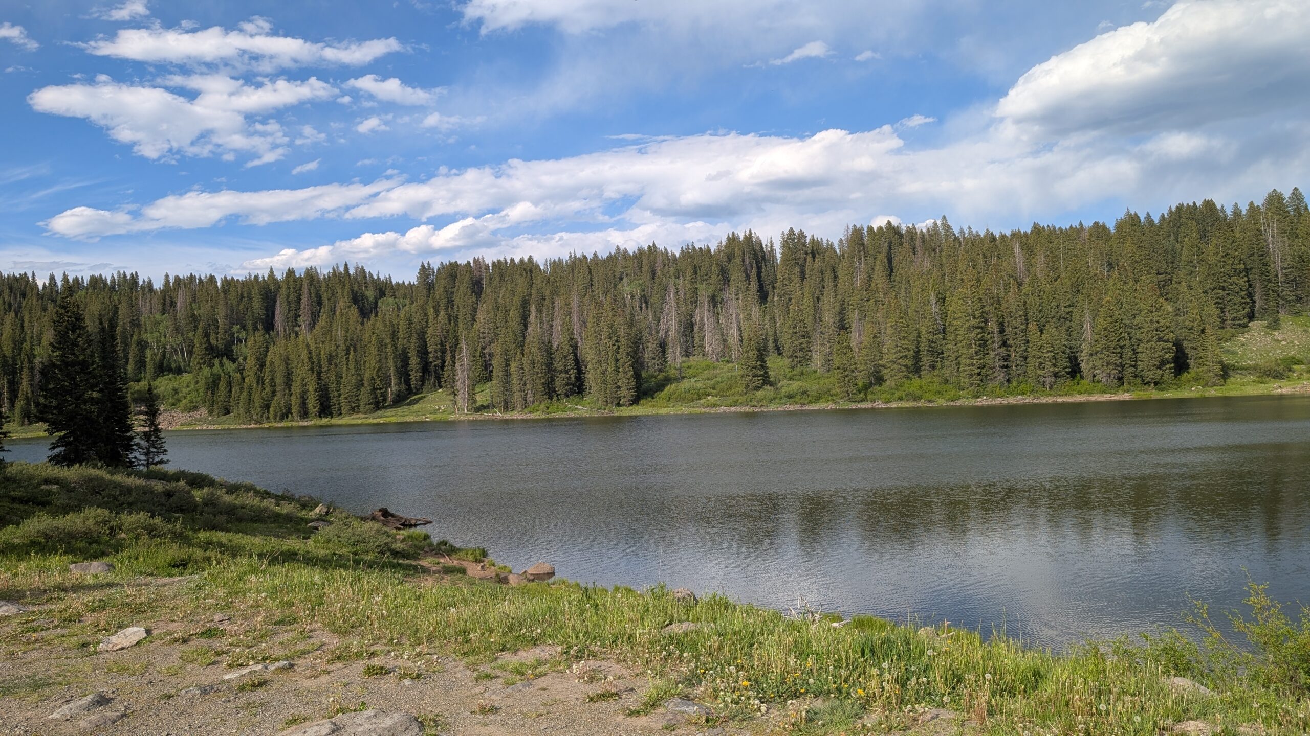
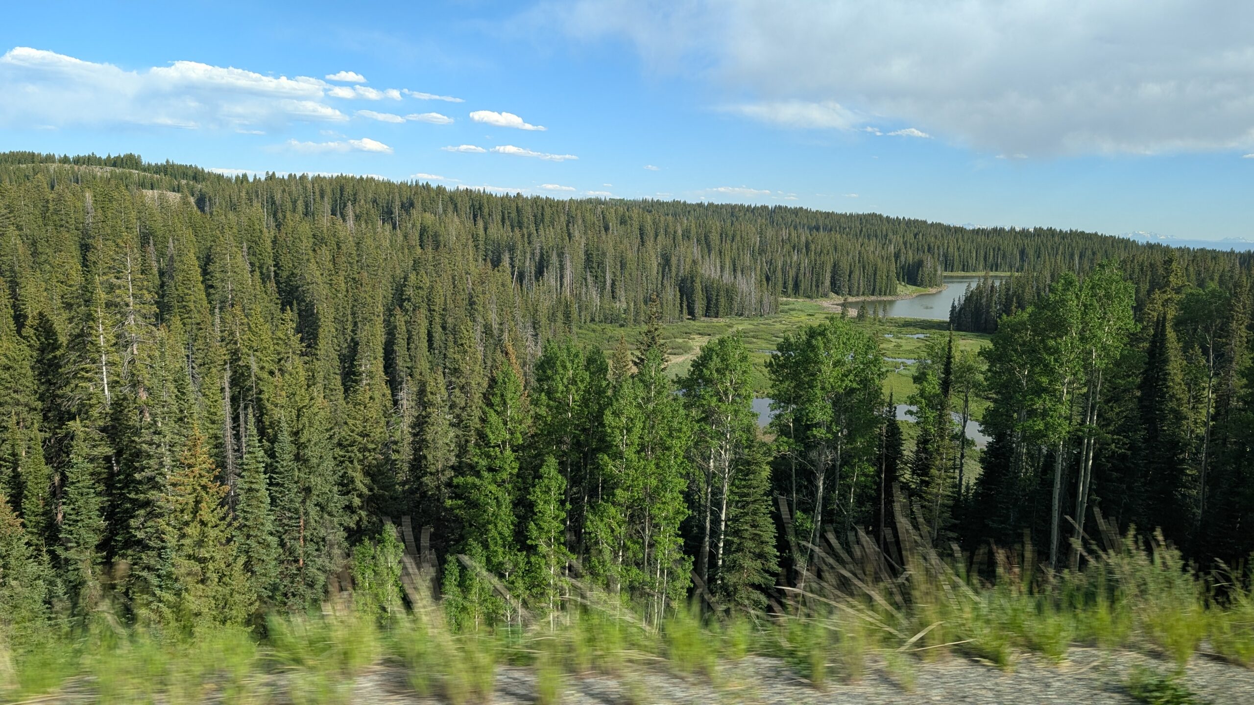
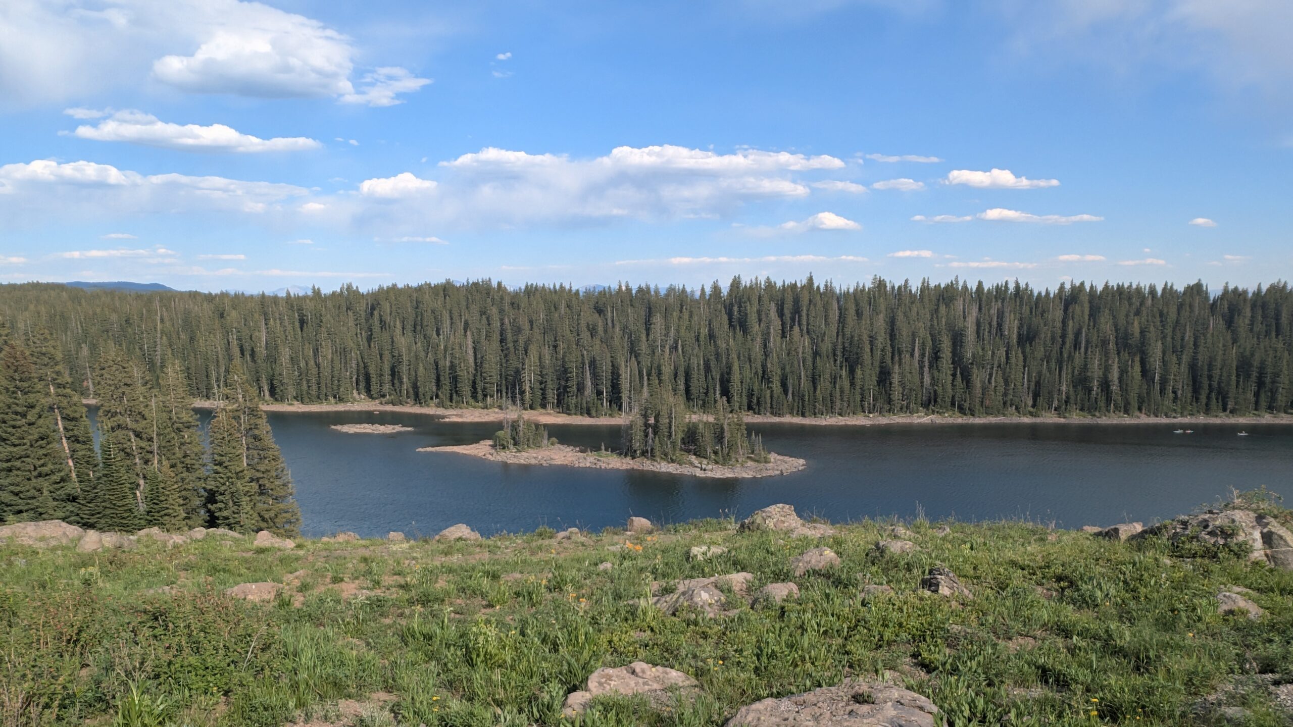
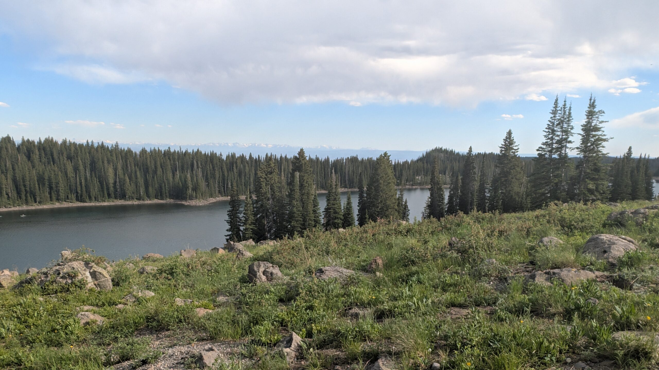
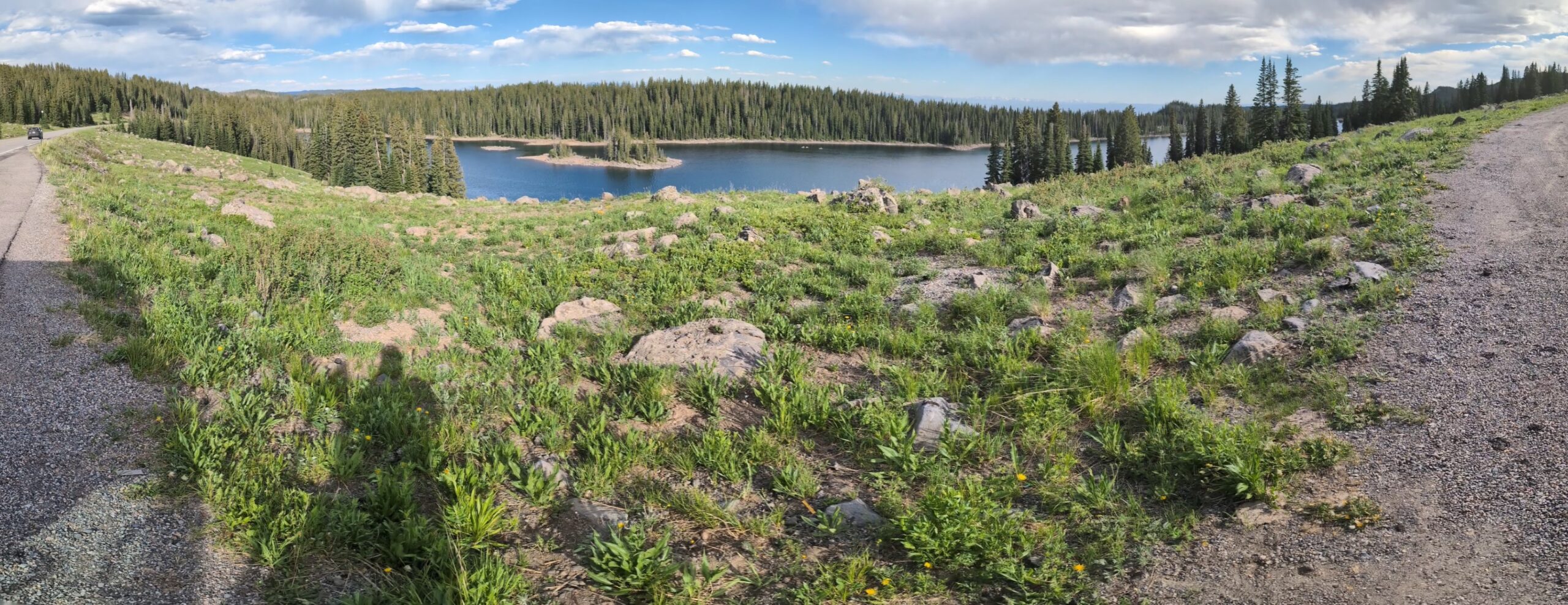
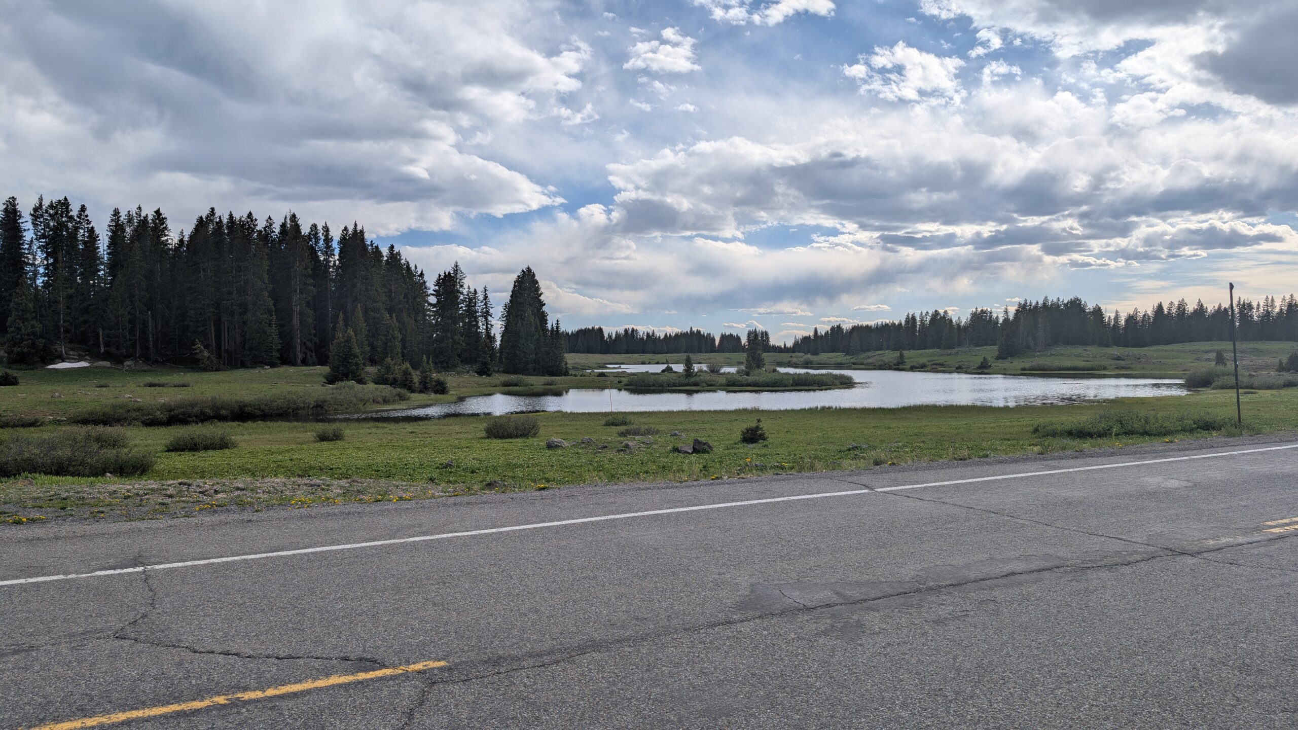
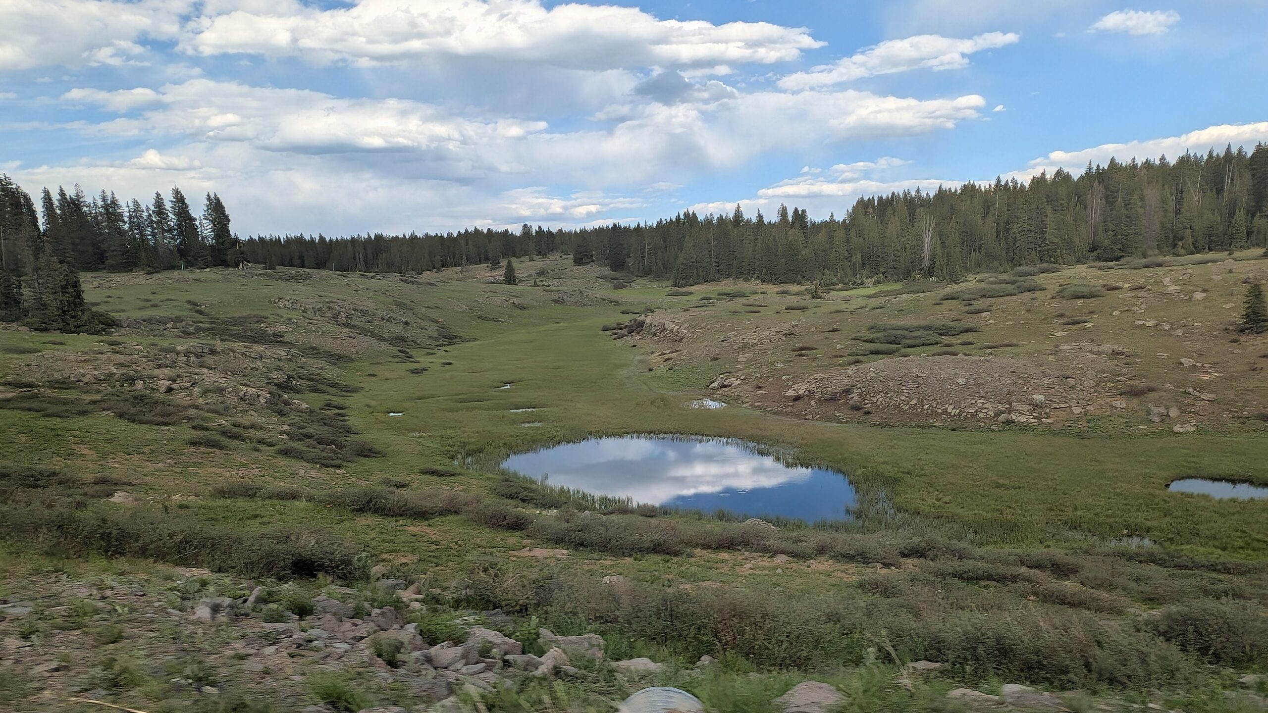
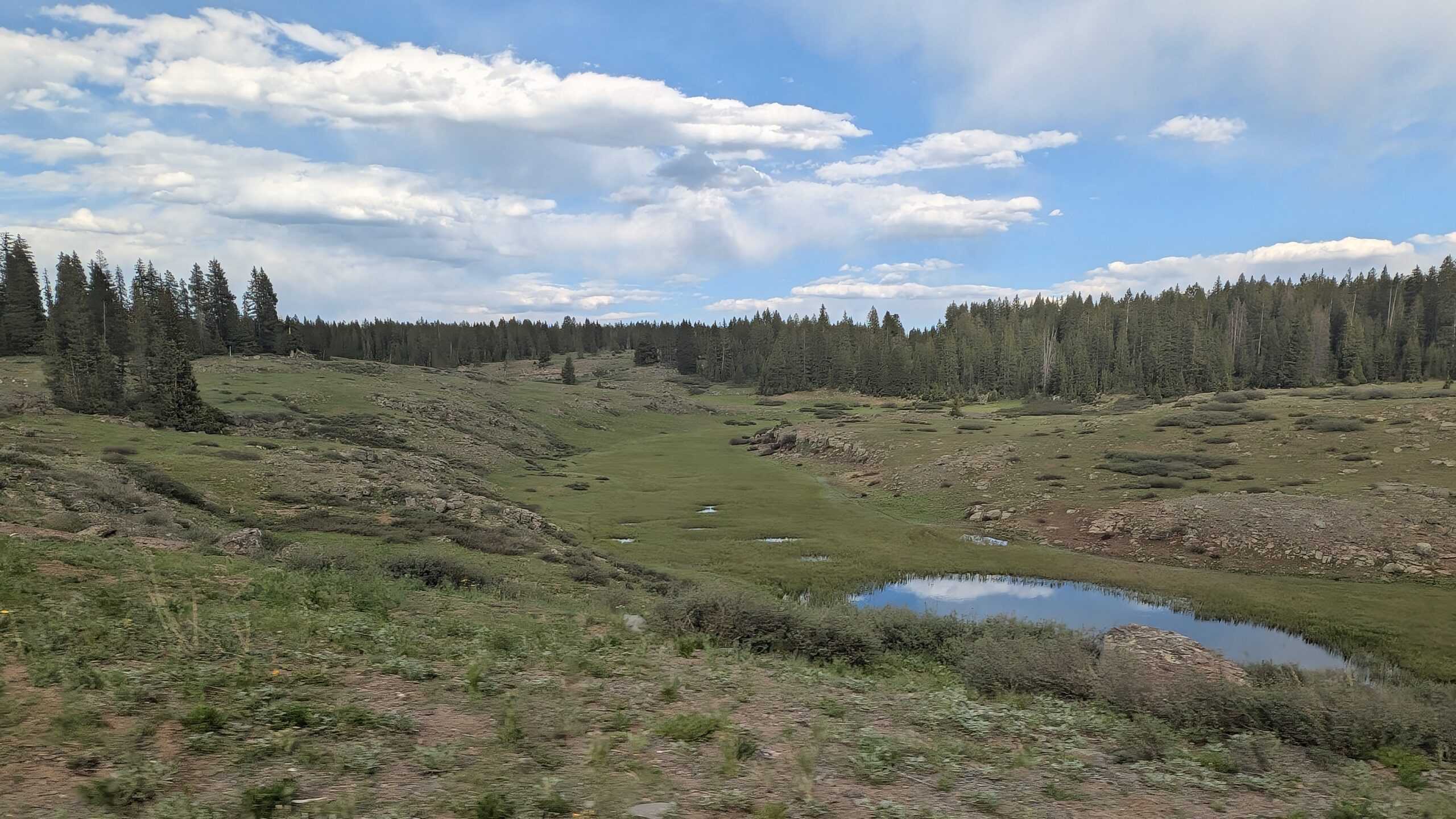
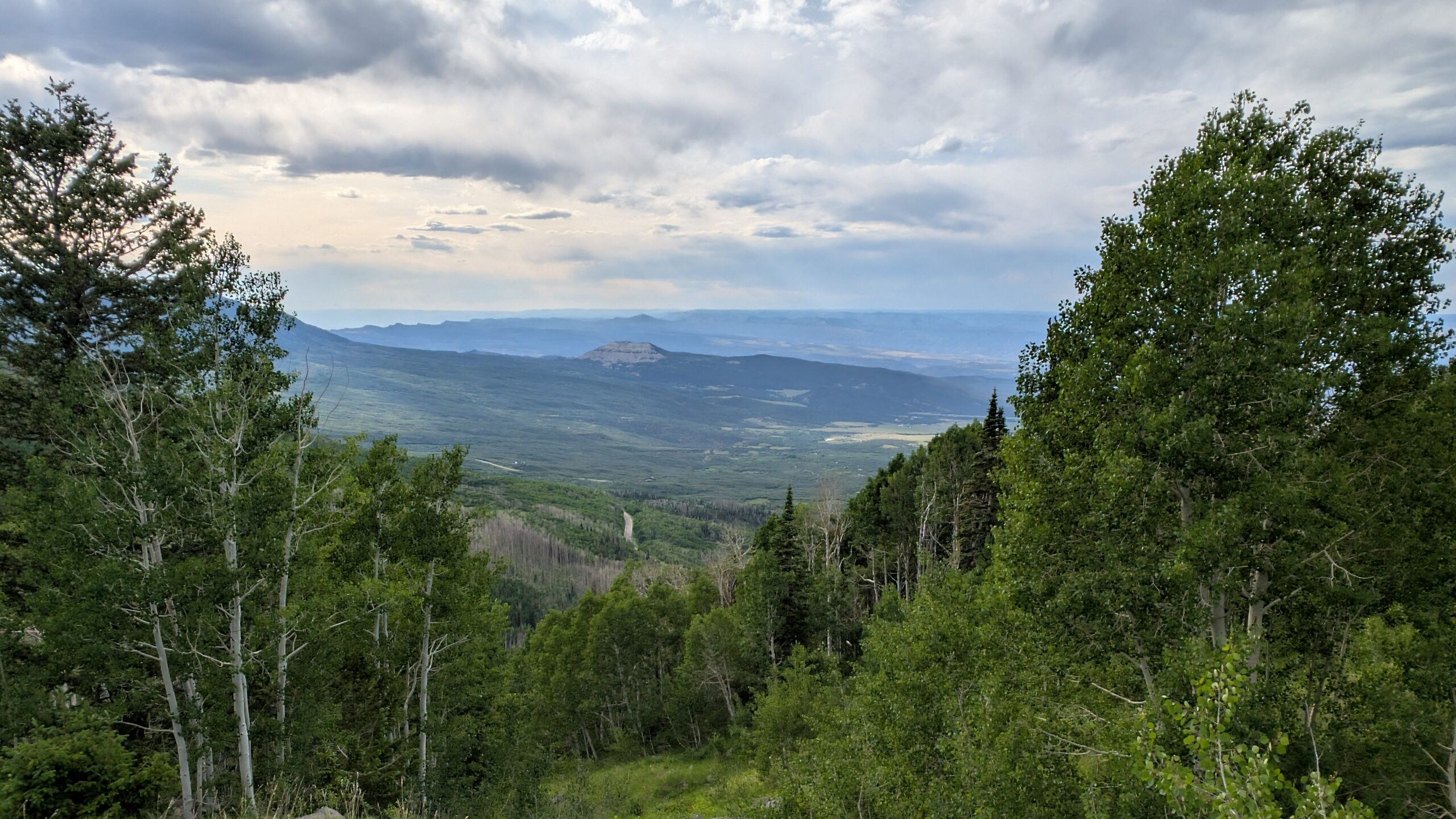
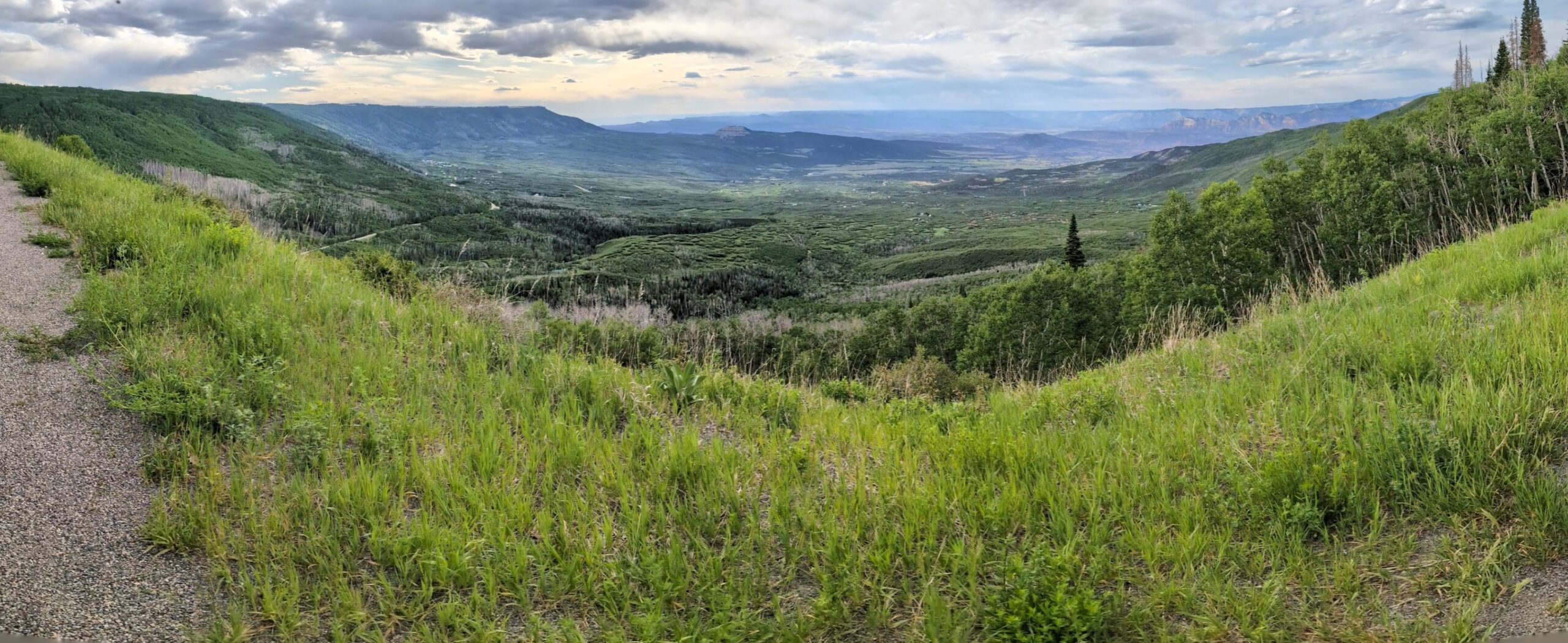
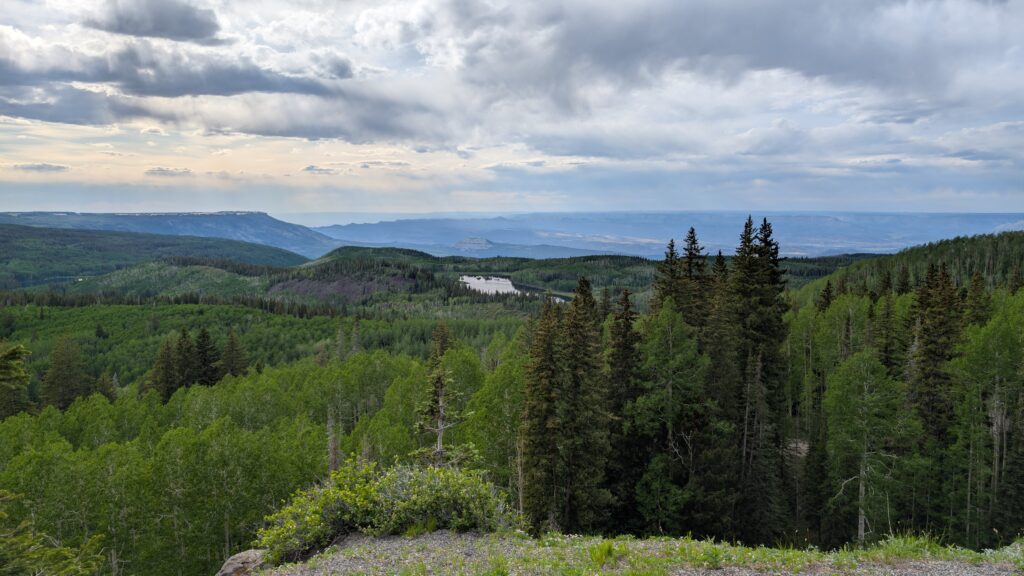
After wrapping up at the national park, we had dinner (barbeque!) and decided to take the Grand Mesa scenic byway back to the campground. The Grand Mesa is the largest flat-topped mountain in the world. It was a beautiful drive with lakes, pine trees, and mosquitoes that made their way into the truck when we stopped for pictures.
The drive was long – about 2+ hours to circle back to the campground from the national park via the mesa – but the kids happily watched movies on the tablet. They hadn’t actually watched anything on the tablets since probably the first couple days of our trip, so they were content. Overall, they’re good travelers anyways.
The last stop of the day was at the Palisades peach shack where Phil and the kids got ice cream, and I got peach pie, peach salsa, peach butter, specialty honey, cookies, etc. I love a quality, themed farm market – definitely feels like vacation mode.
Phil’s Take
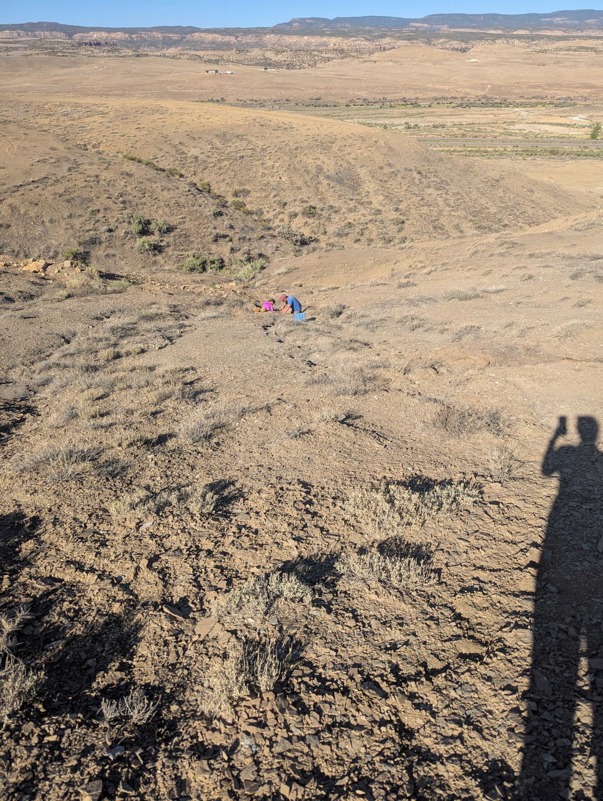
I think I might have a bit of a knack for finding rocks. This morning I surveyed the area and zeroed in on two spots. The first seemed like it was a bit too high in the layers of shale, because I wasn’t seeing anything with my initial fishing dig. I looked around where other folks had obviously been excavating and found a spot at roughly the same layer but in what appeared to be untouched dirt.
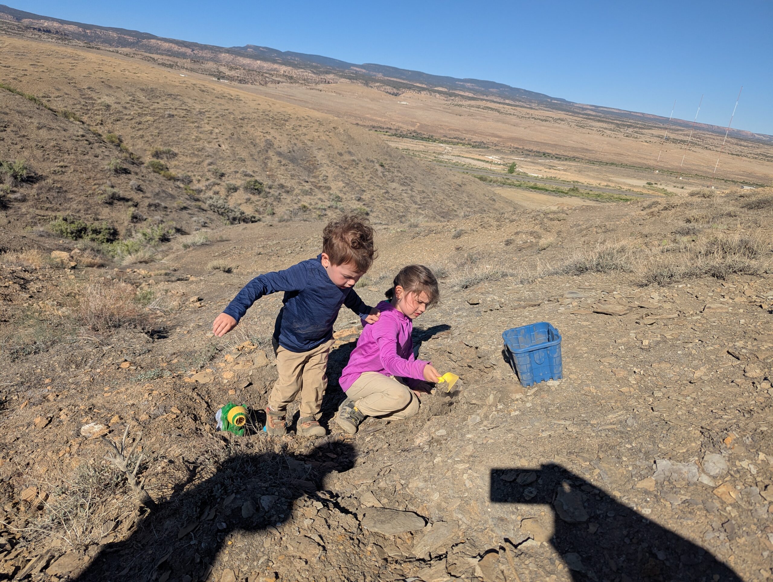
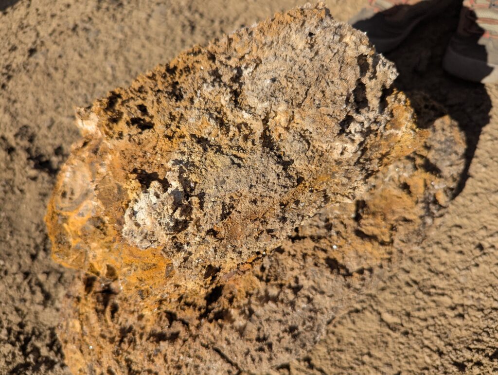
I was only digging for about 5 minutes when I get something hard with my hammer (the claws on a hammer are great for digging), There were two large chunks at least 6 inches in diameter and probably a total of 20 inches in length. The image in Megan’s post above was of the two of them stacked. They were obviously connected at some point, as I found them butted up against each other.
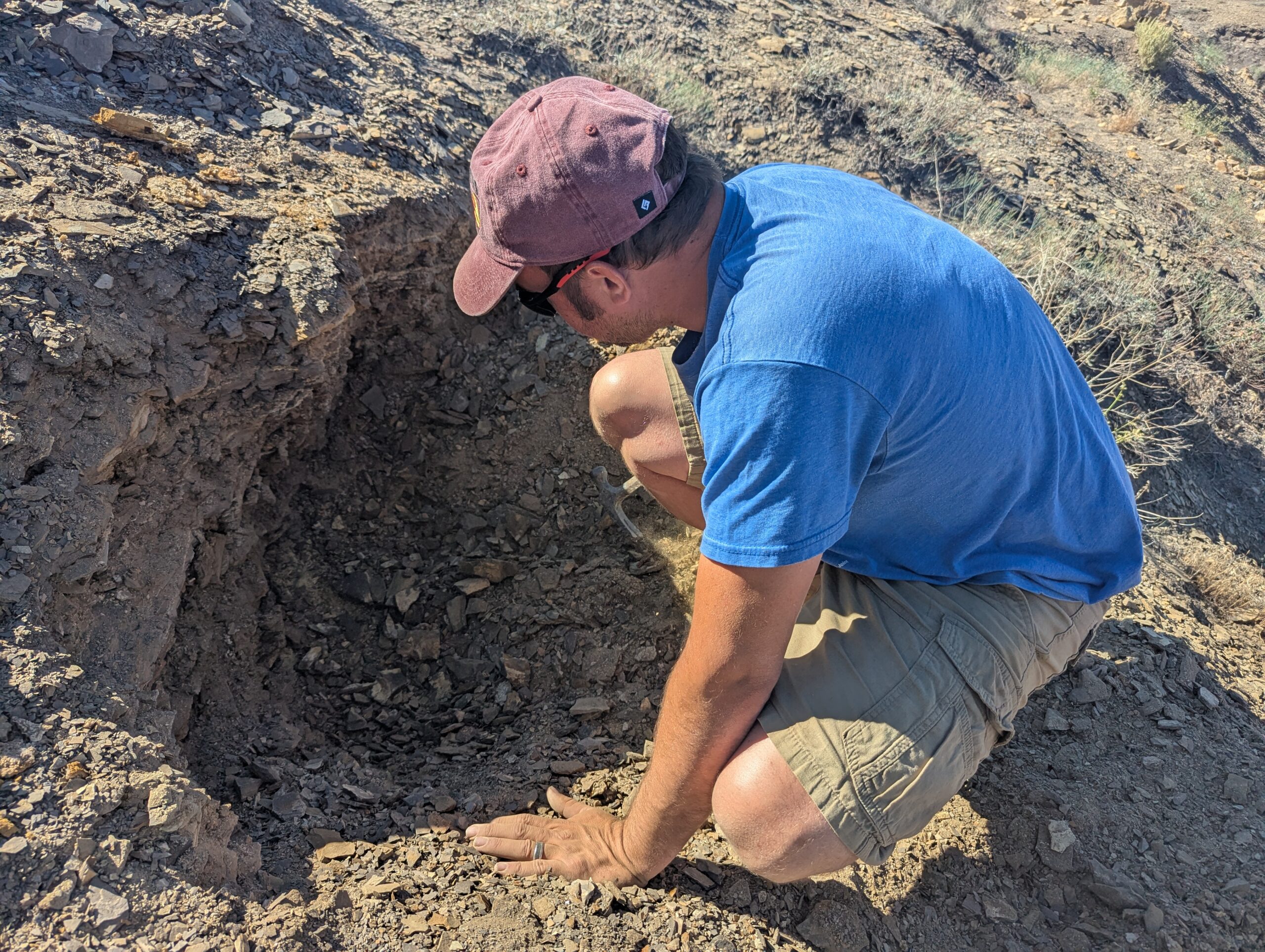
I kept digging in that spot, and found countless sheets of thin shale with crystals on one side. Here’s about the extent of my excavation right before we left.
I am interested to see what is inside these things when I get them home, and I hope the sheets make it, though they are very brittle. We’ll have to get creative with what we do with them to preserve them.
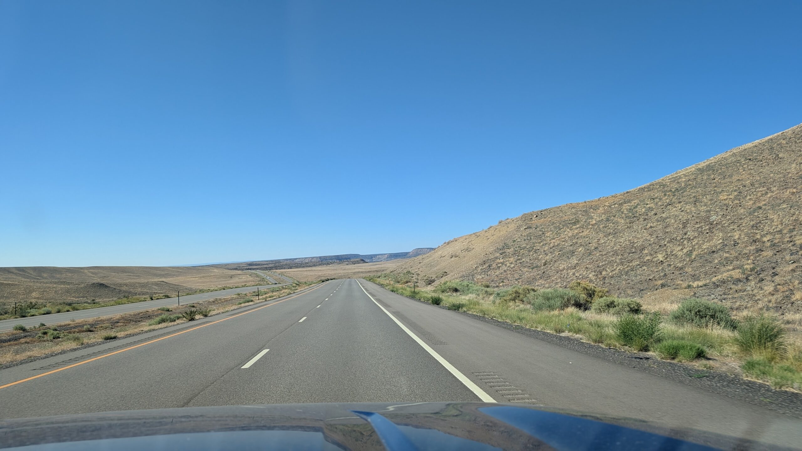
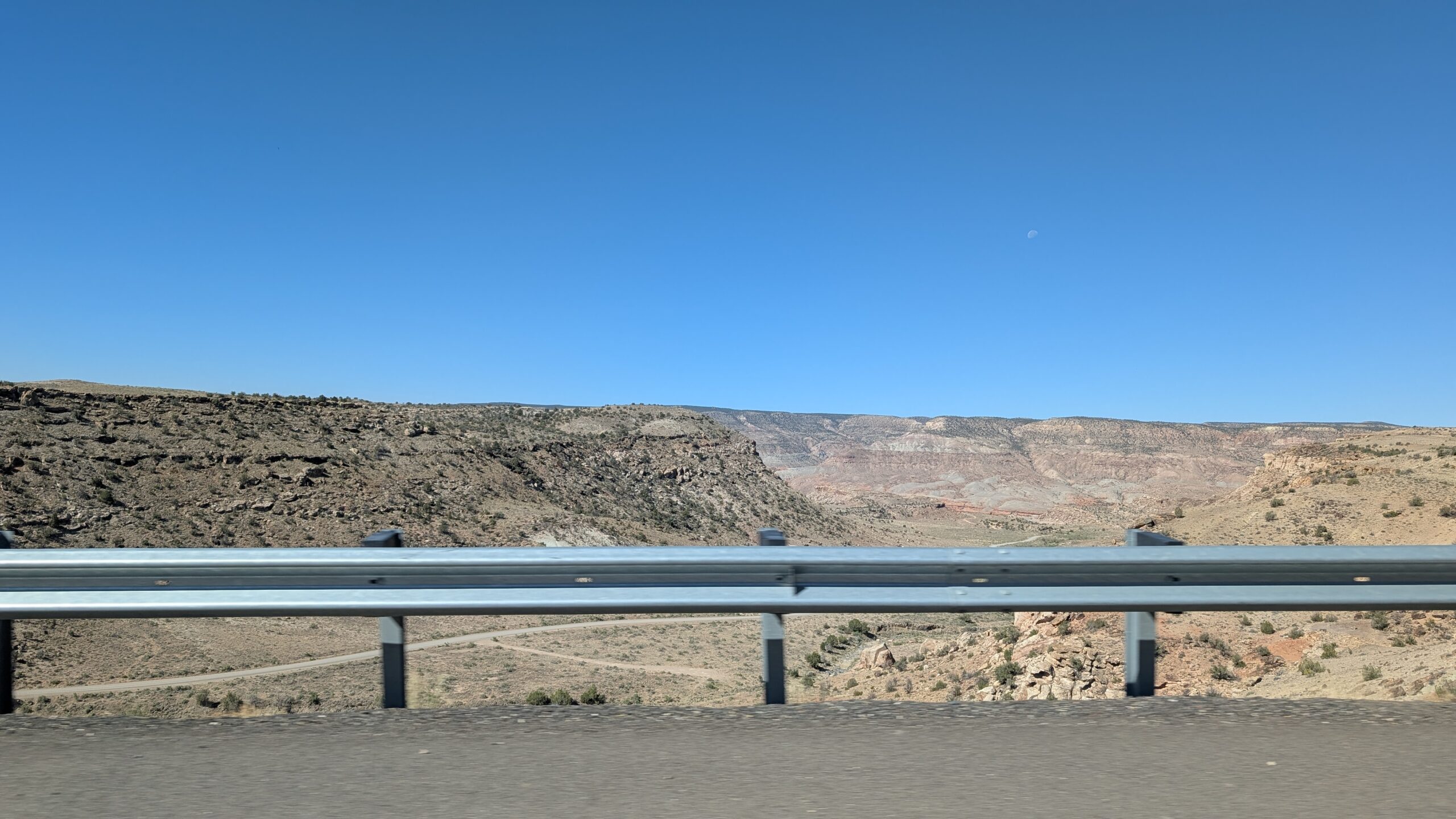
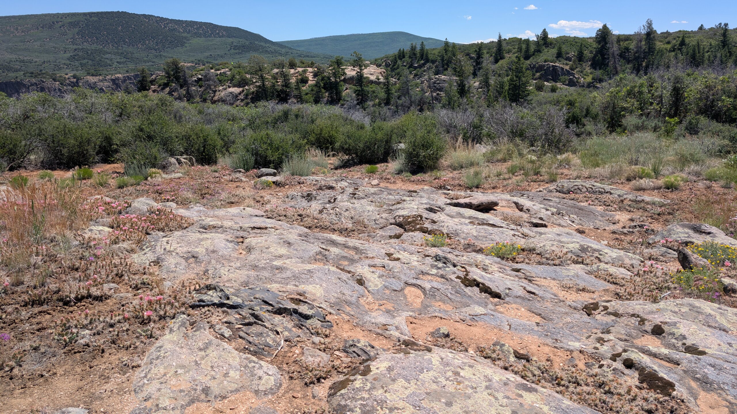
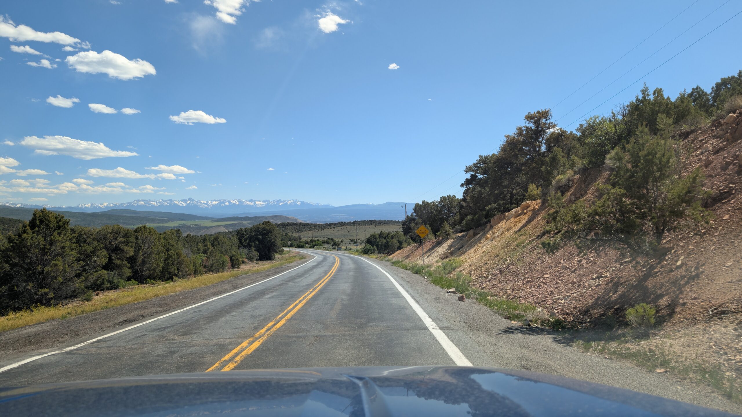
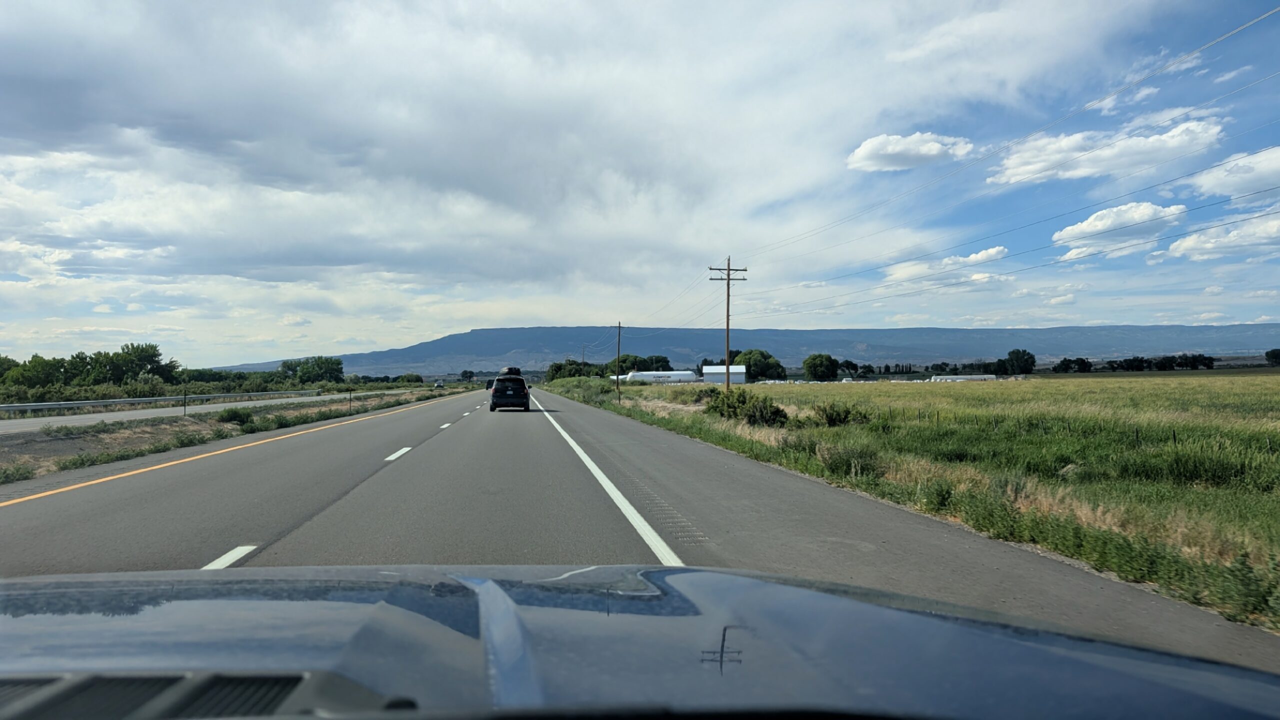
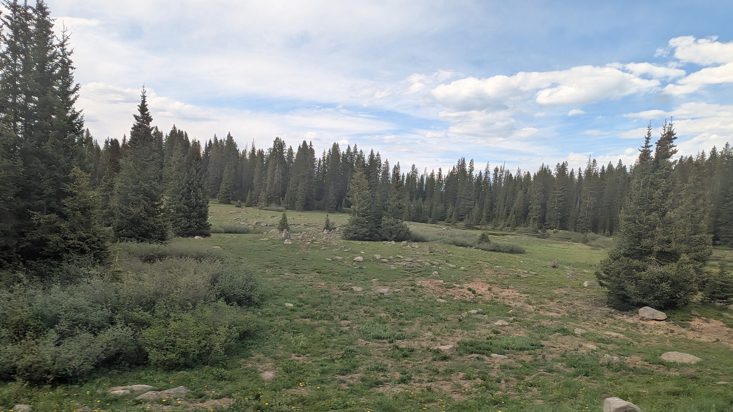
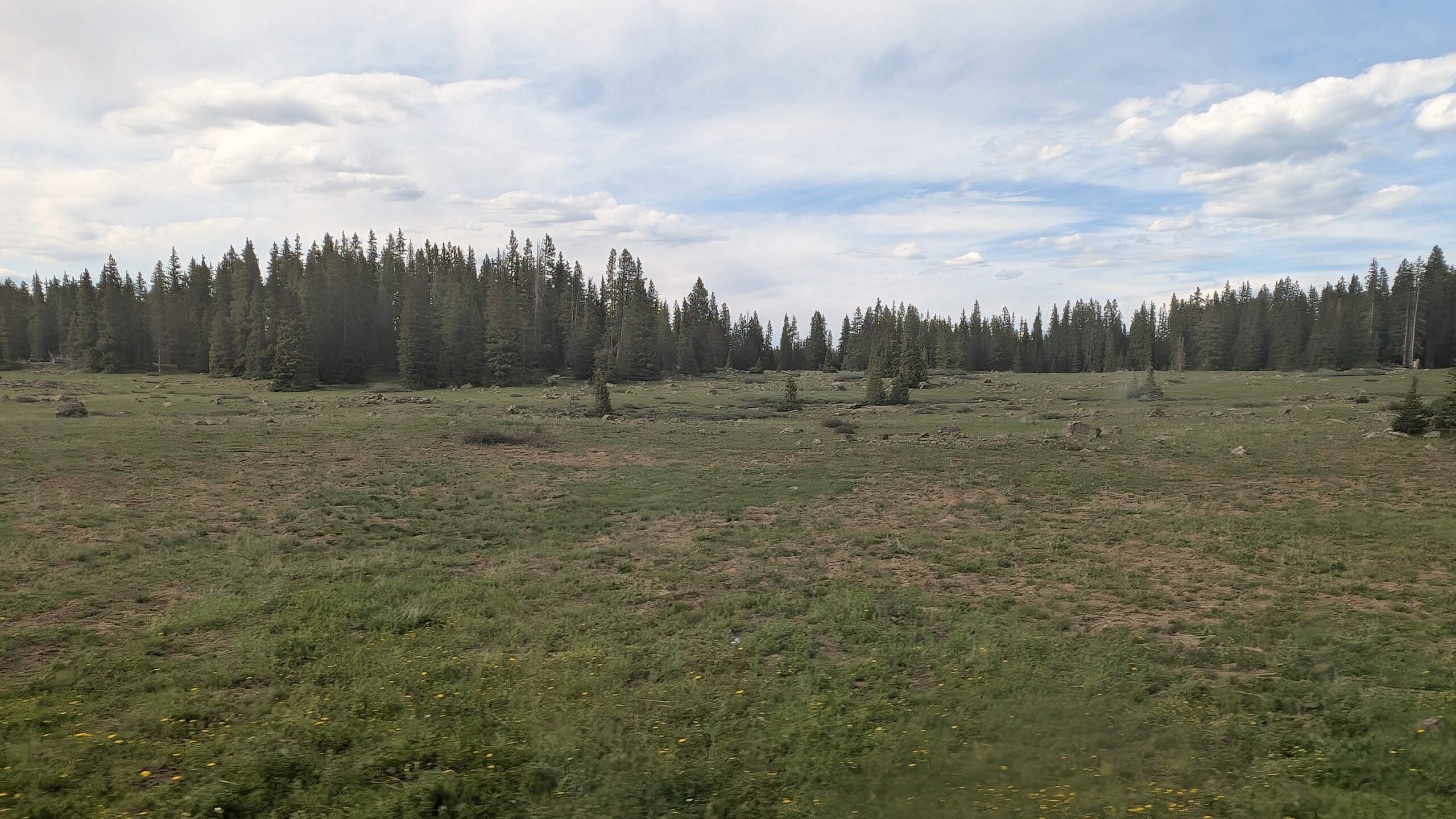
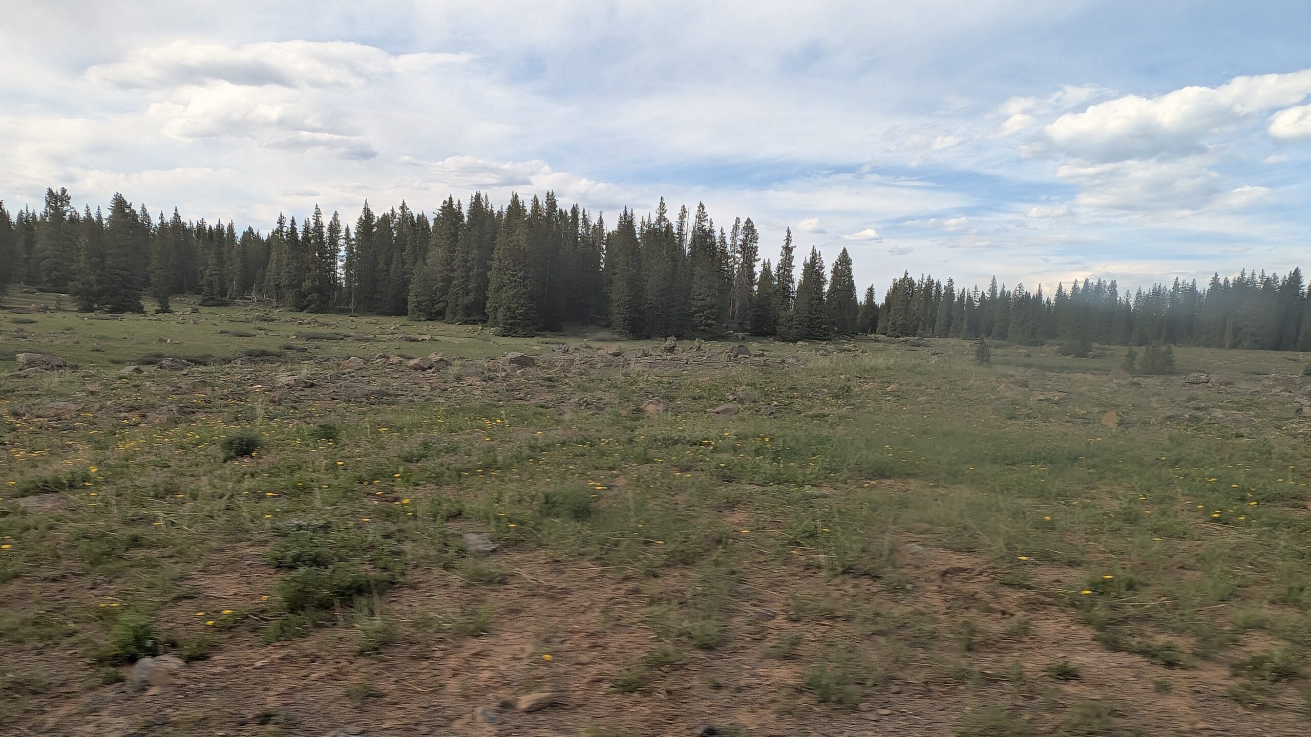
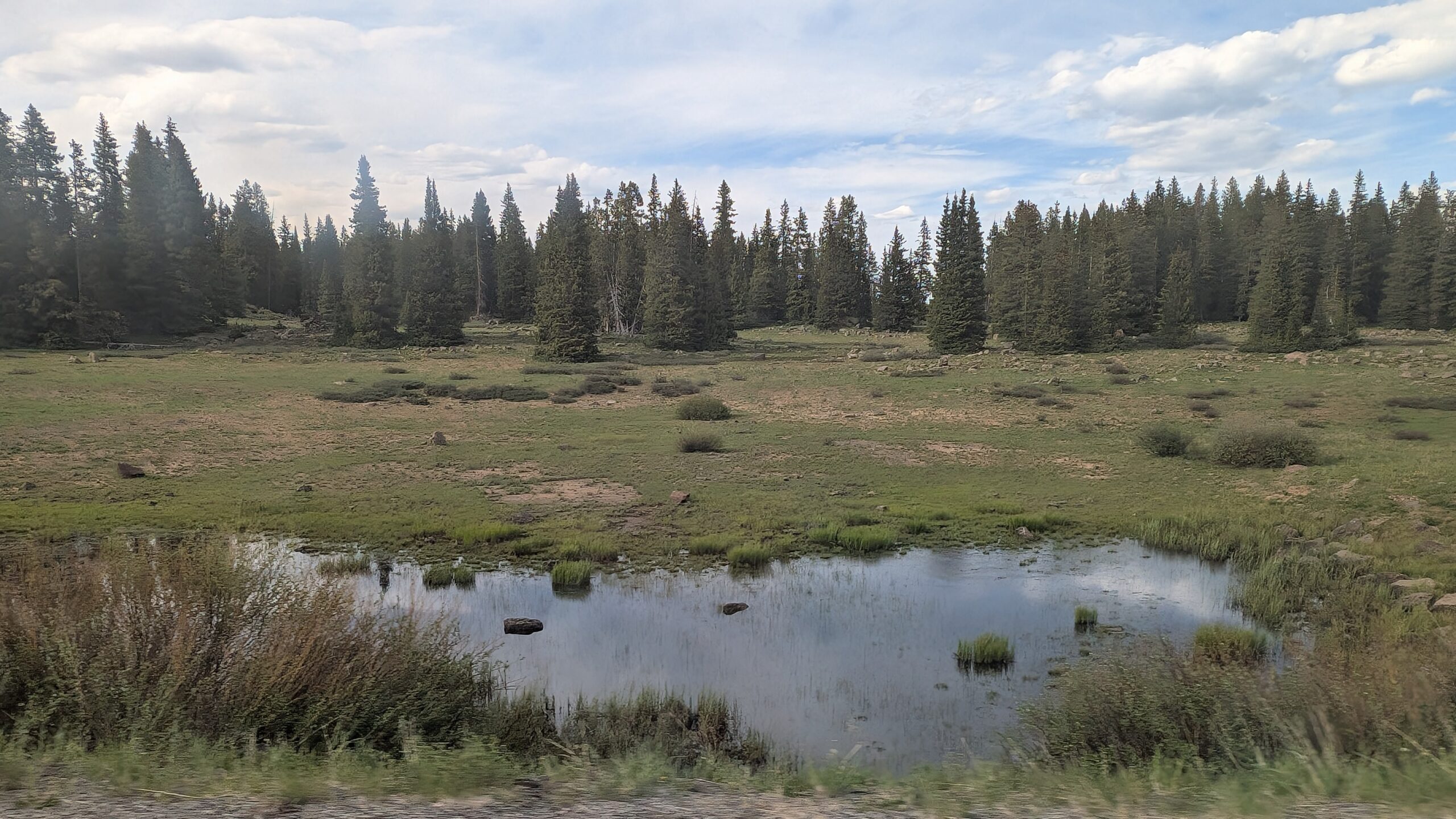
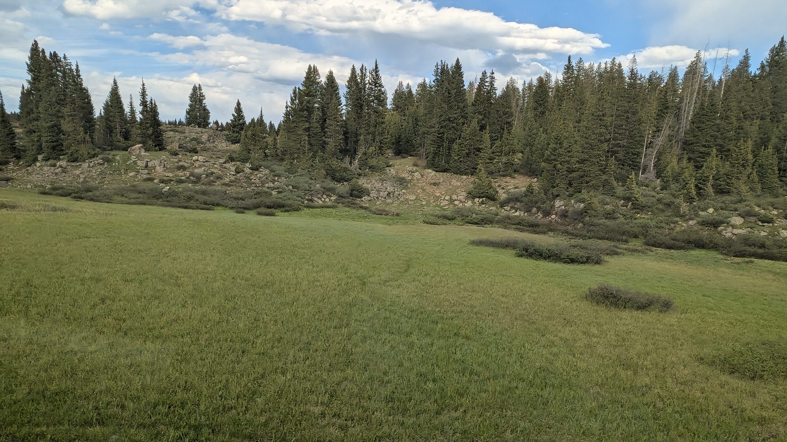
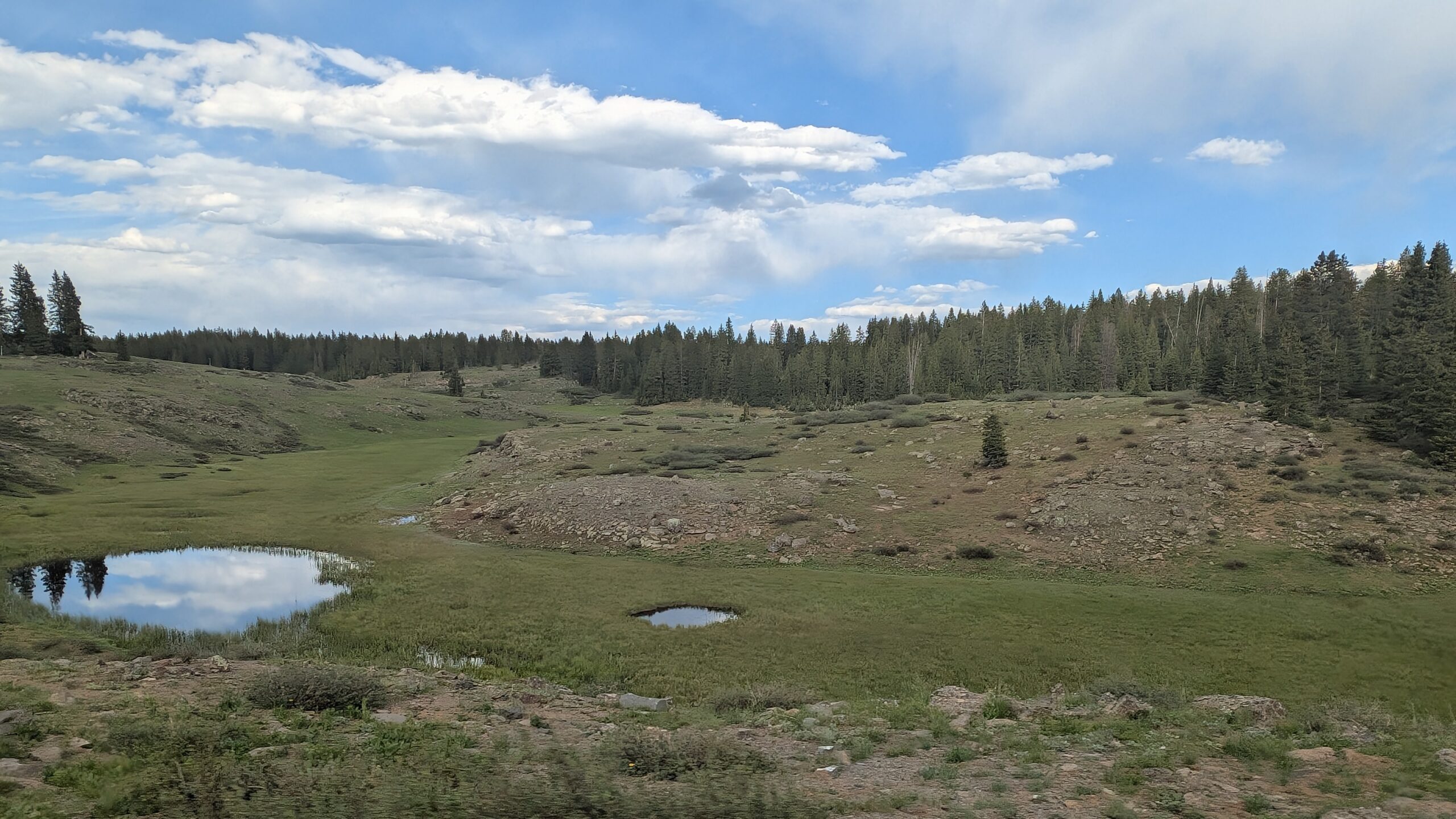
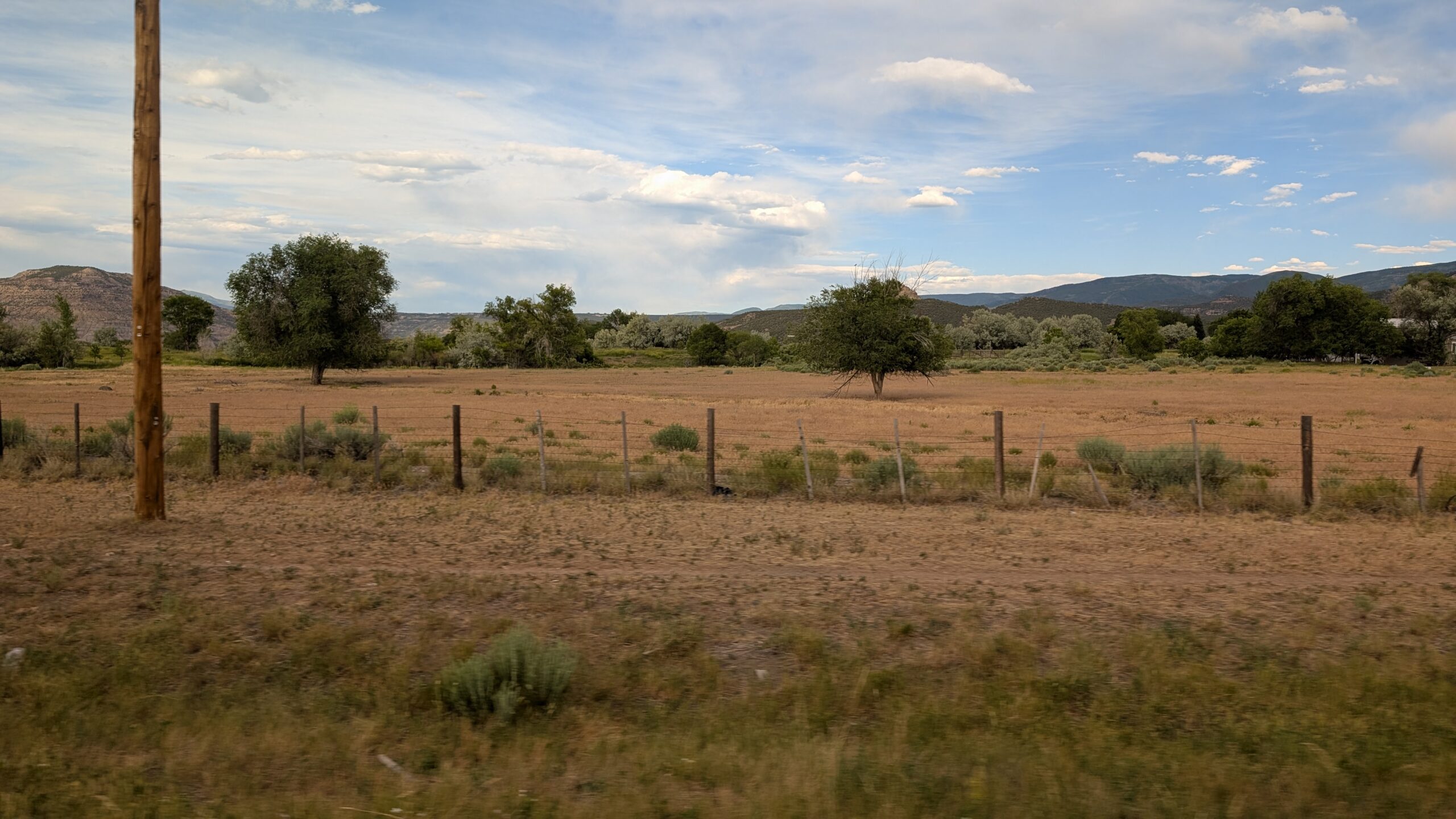
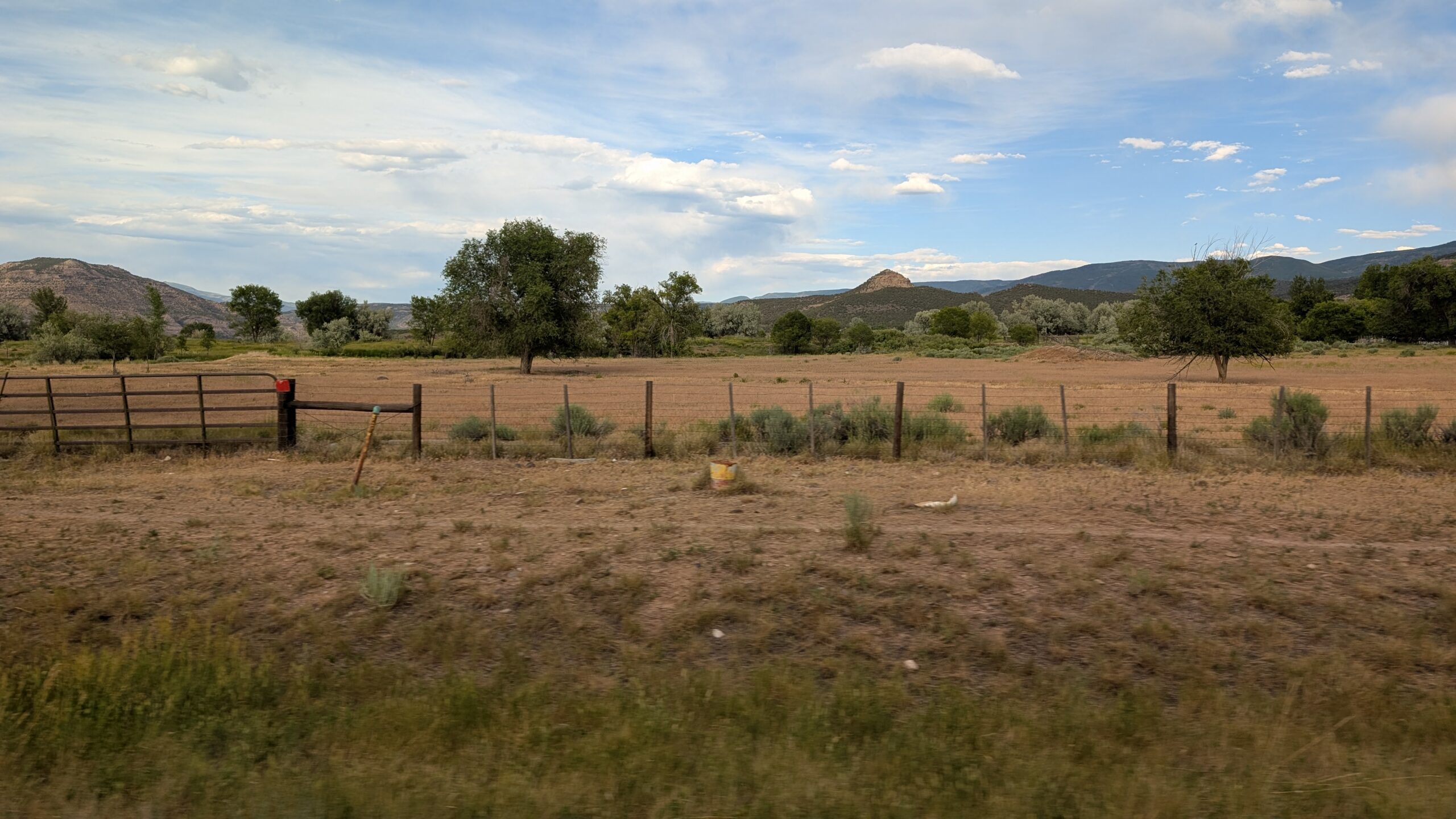
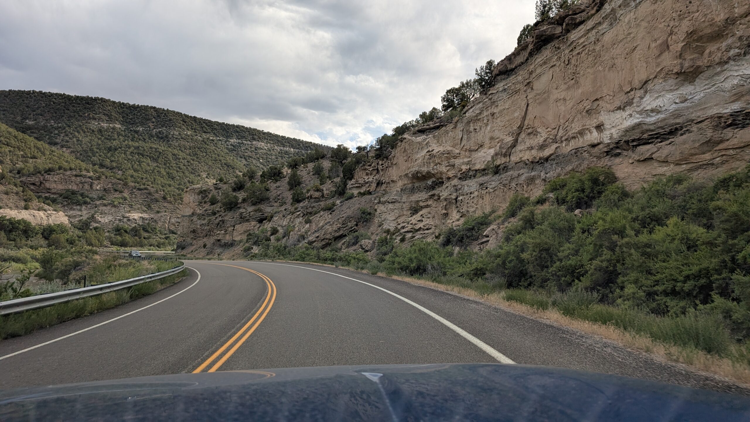
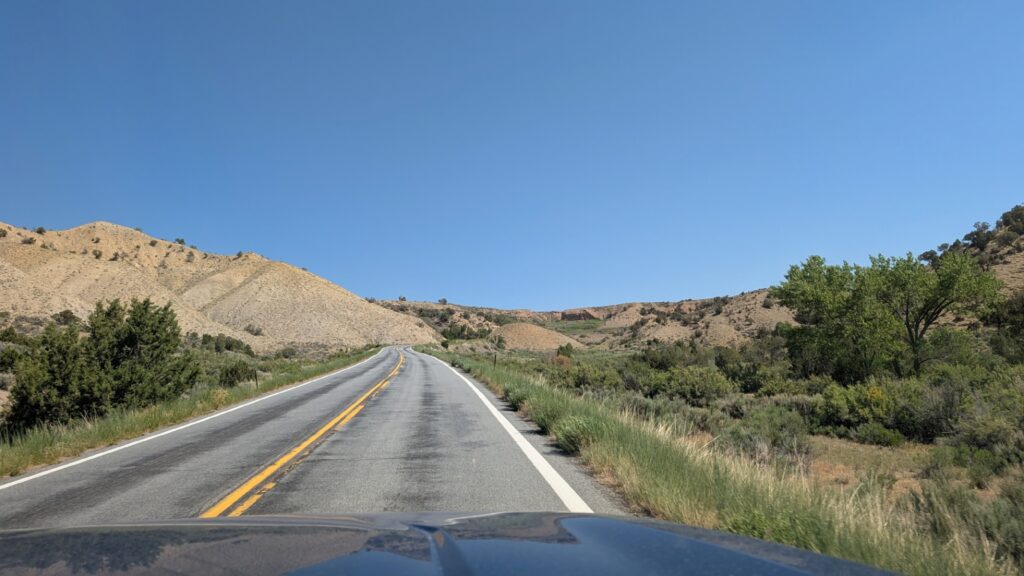
As we approached Black Canyon of the Gunnison National Park, we started to see some natural beauty, but we had no idea whether it had anything to do with the park. Here’s a shot along the road while we were still outside the park.
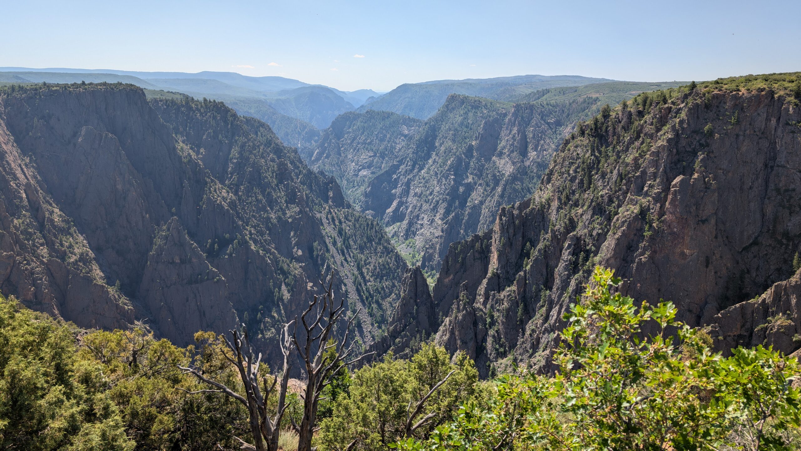
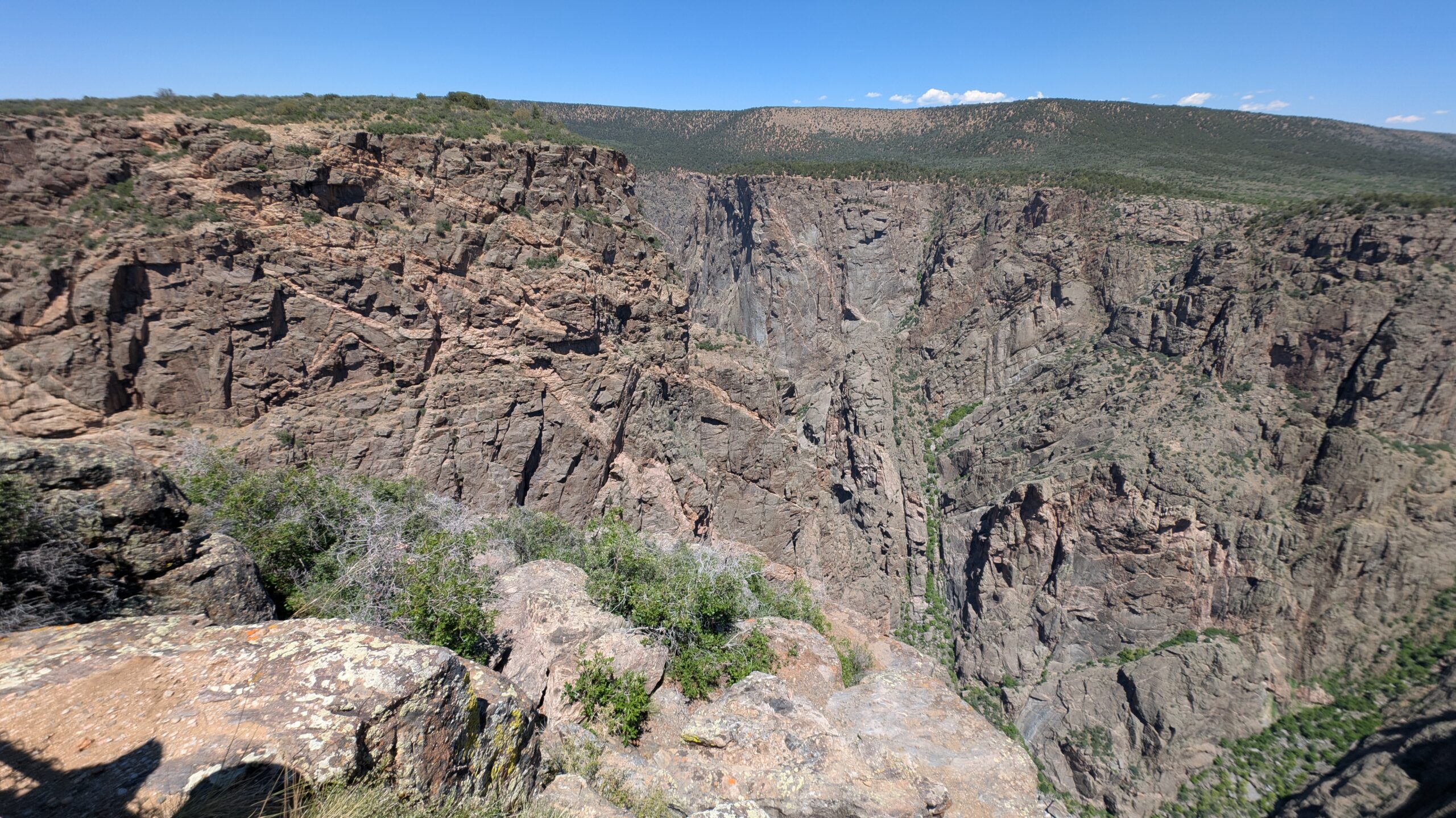
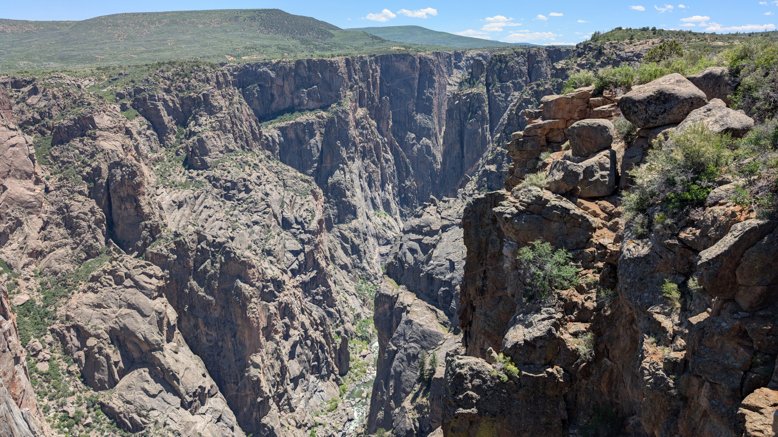
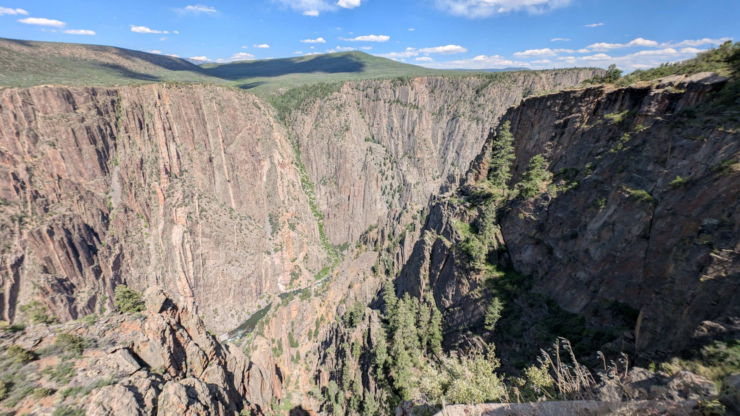
As it turns out, these hills had nothing to do with the geology of the park. Apparently the canyon in the park is black. This is the first vista we saw right after going through the gate before we got to the visitor center at Tomichi Point.

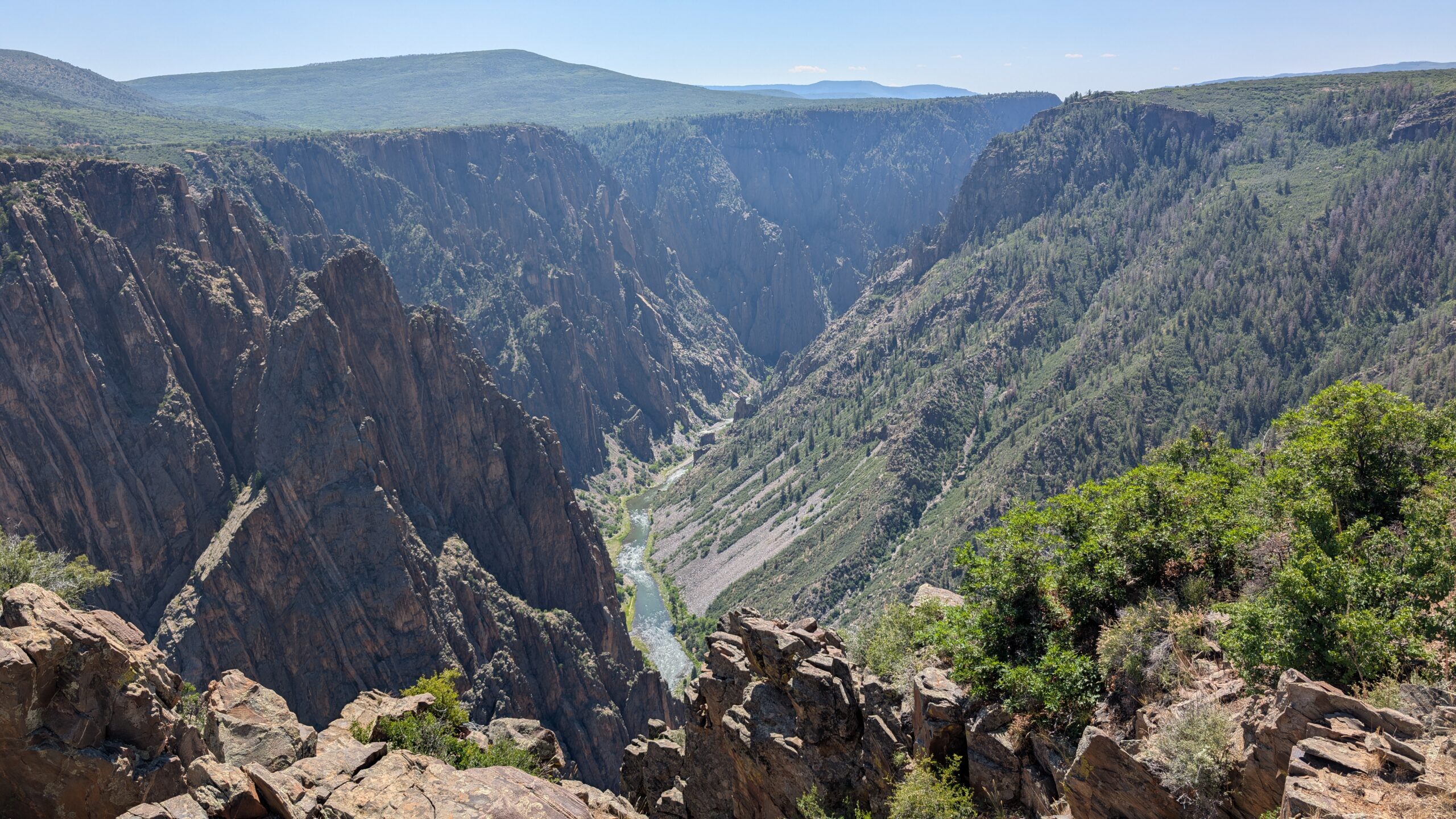
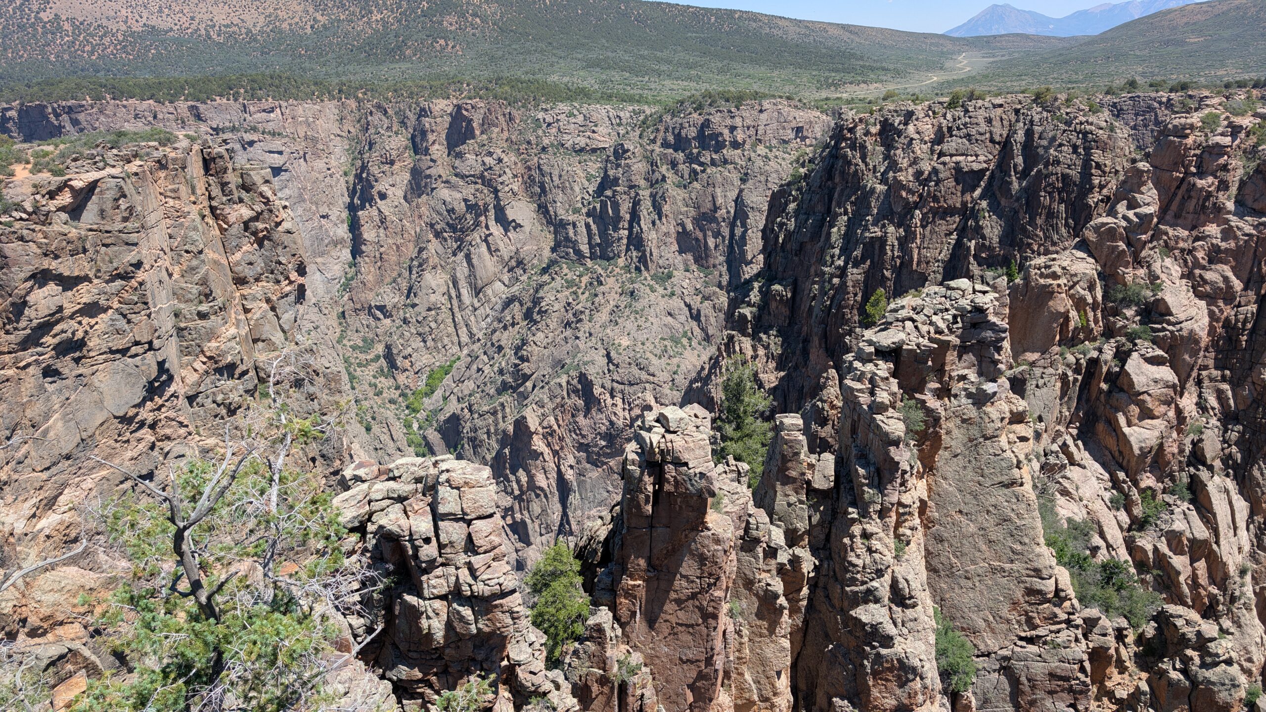
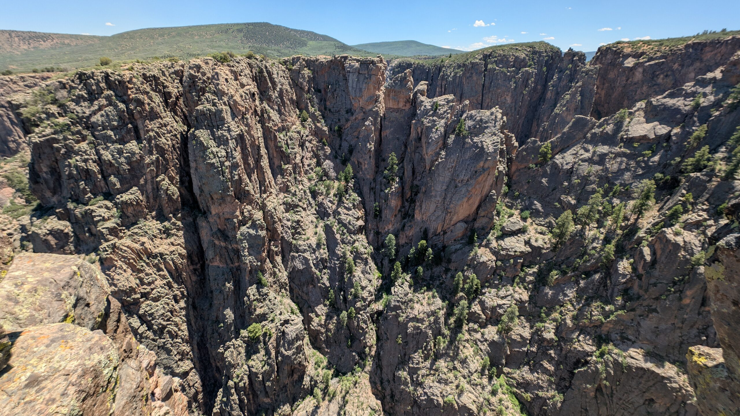
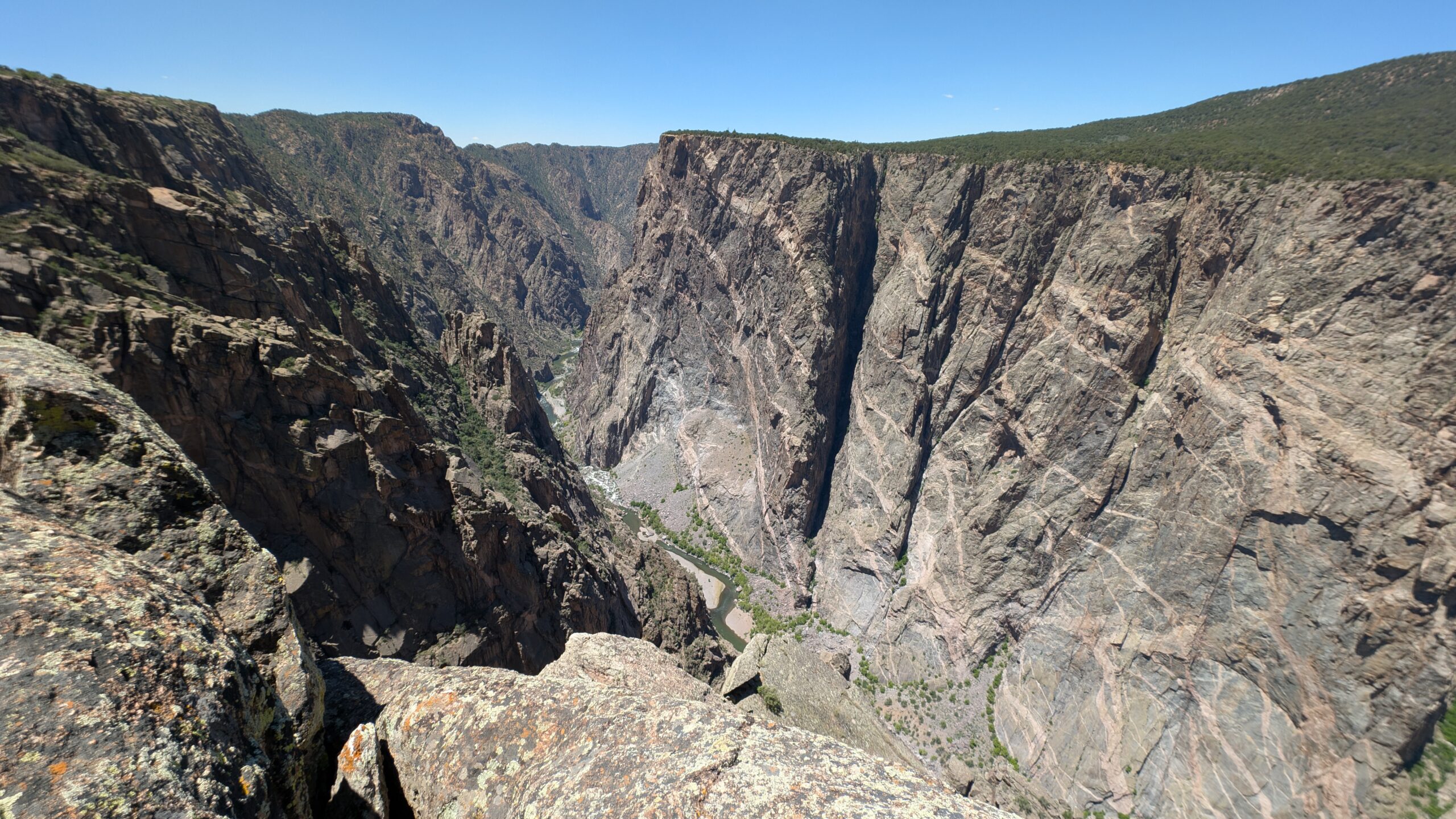
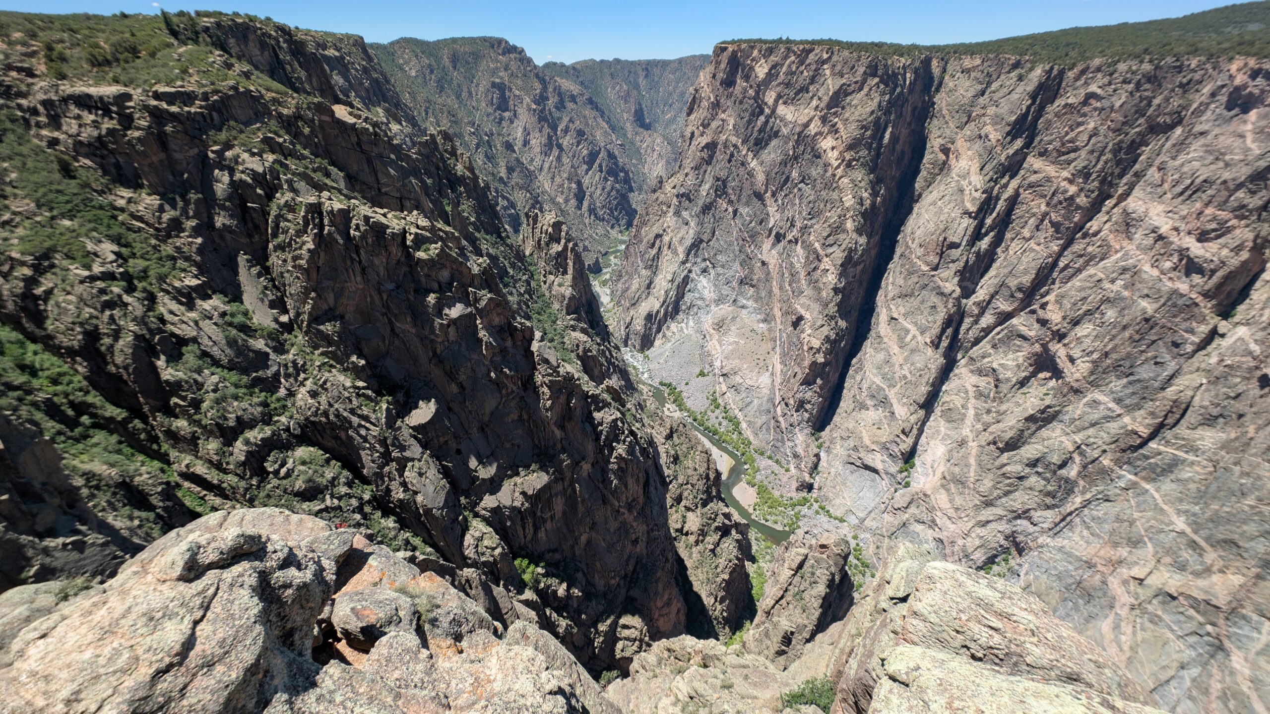
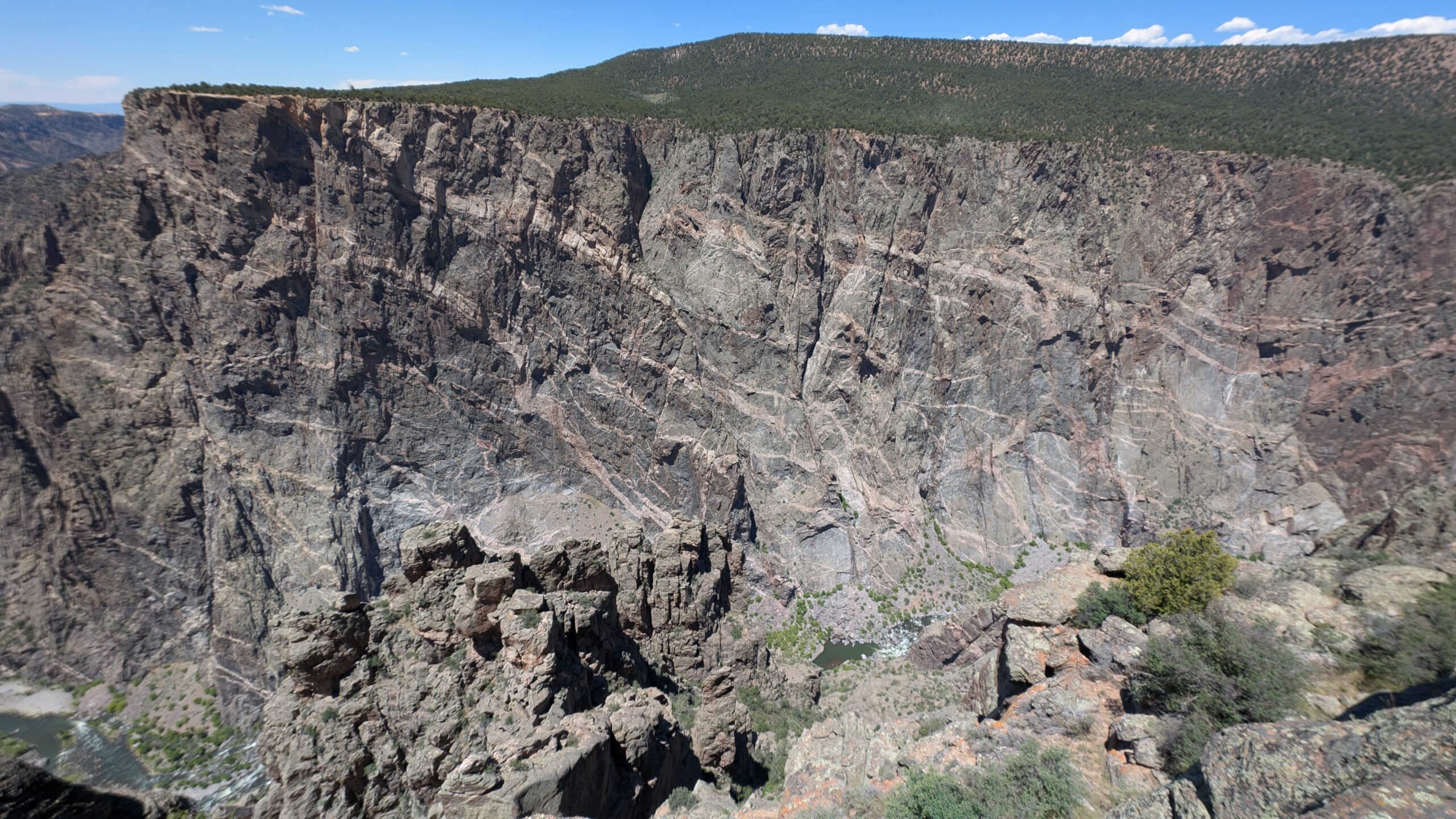
It was immediately apparent that this canyon was much steeper than most we had seen. Zion has some sheer cliffs, but they are much further apart, and they’re a completely different kind of rock. This is apparently the basement layer of rock like what is at the bottom of Grand Canyon, over 2 billion years old.
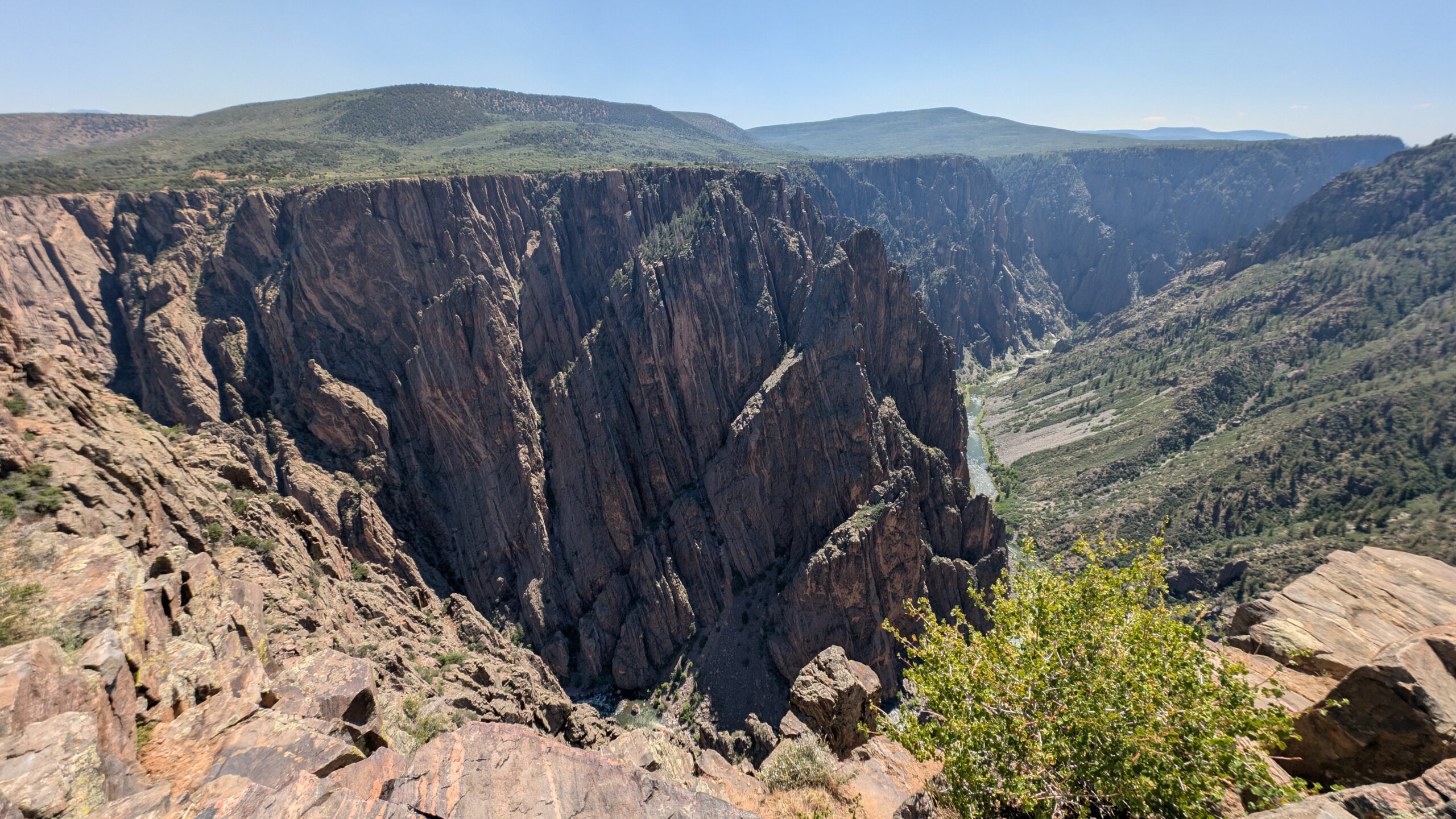
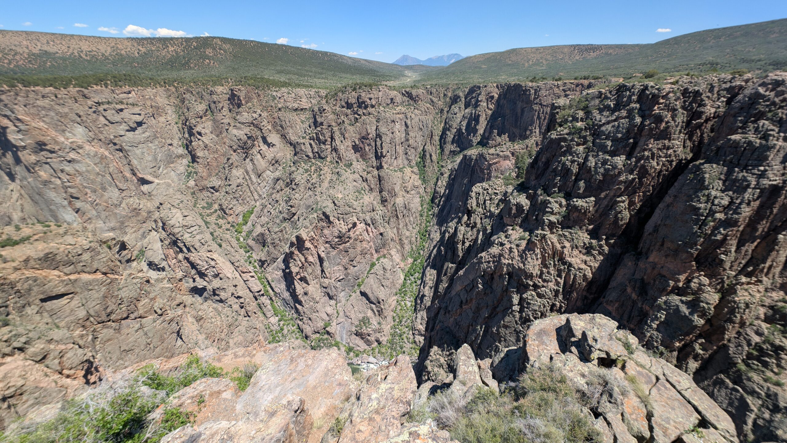
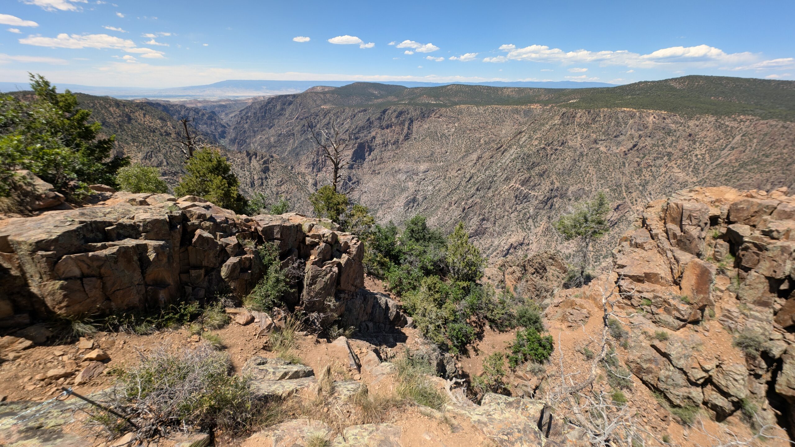
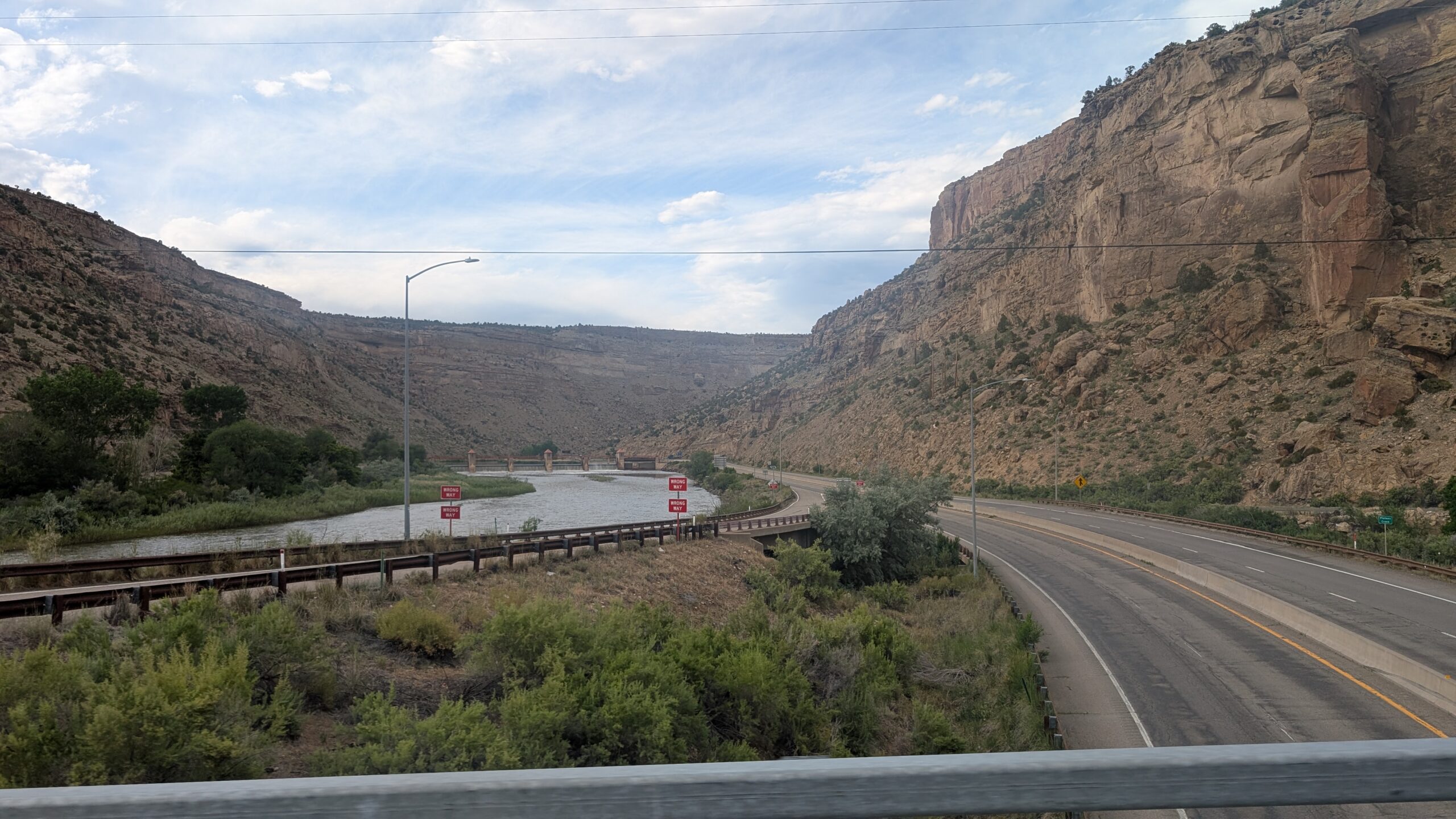
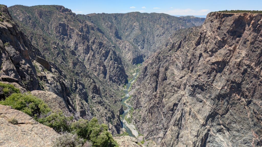
We skipped the visitor center on the way in, because there was no parking, and proceeded to the first vista, called Pulpit Rock Overlook. This gives a good view of how steep the canyon is, because only one side of it is steep here. You can also see more of the river here than at any other location we visited. The rest of the places we viewed the canyon, both sides were as steep as the left side here.
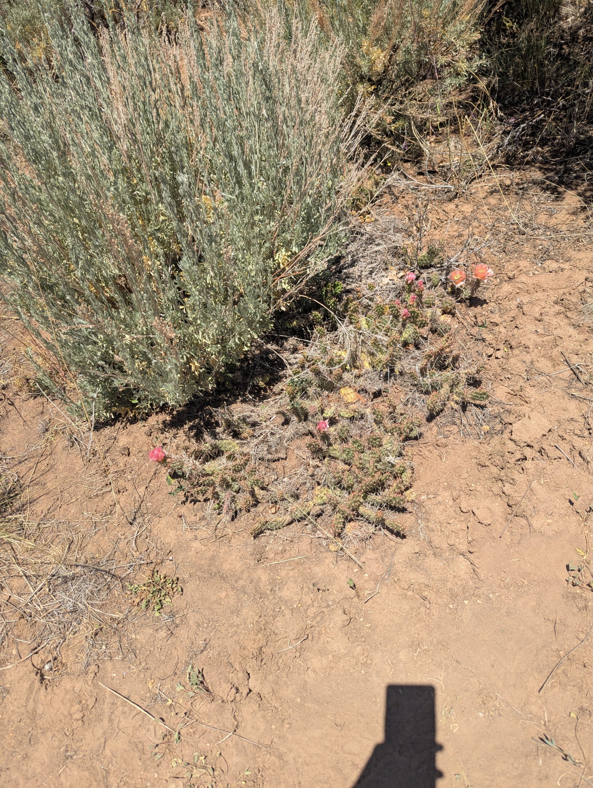
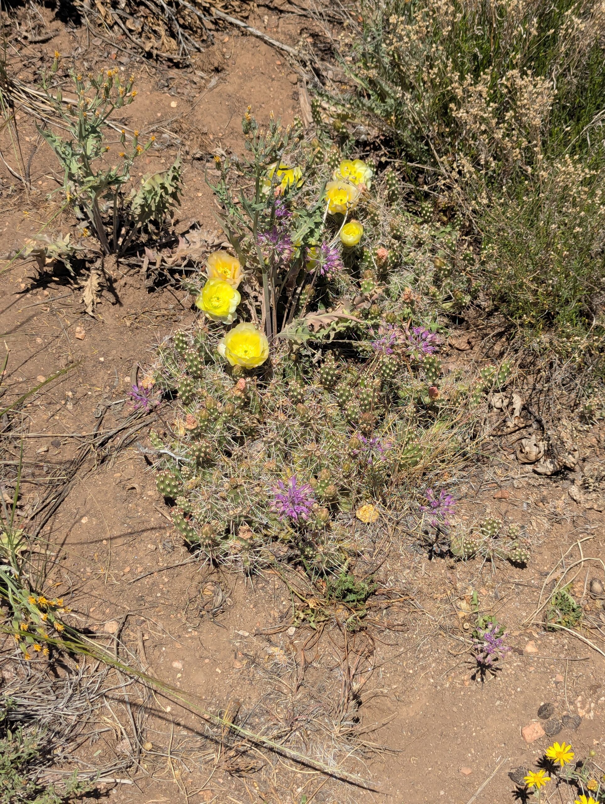
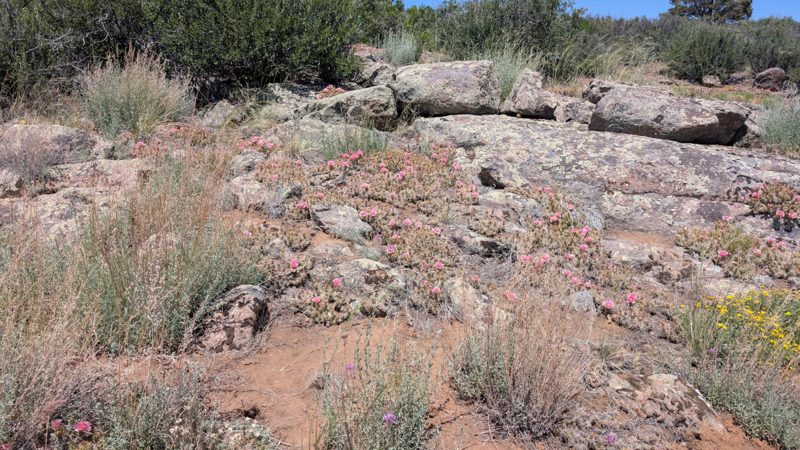
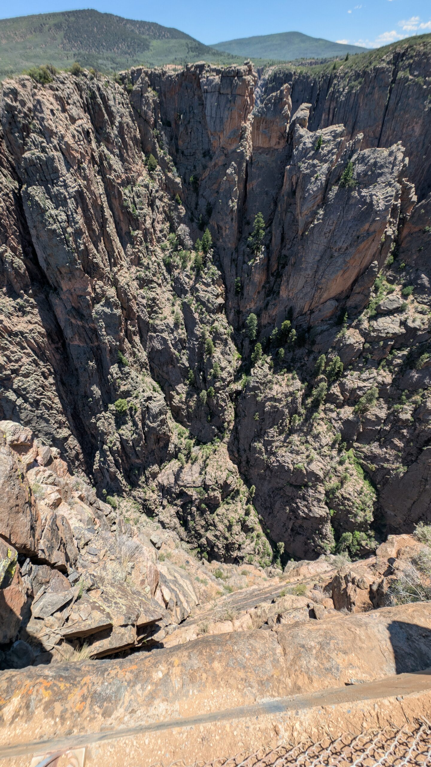
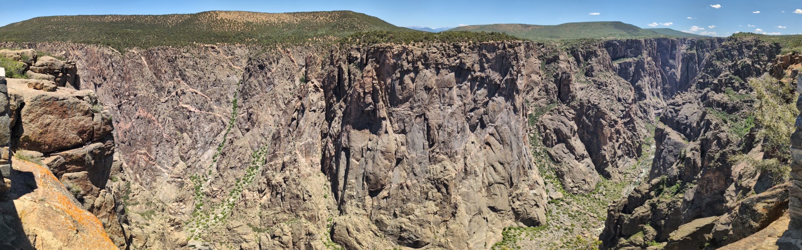
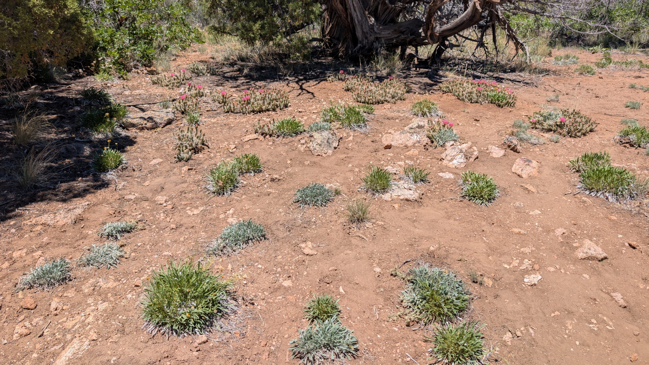
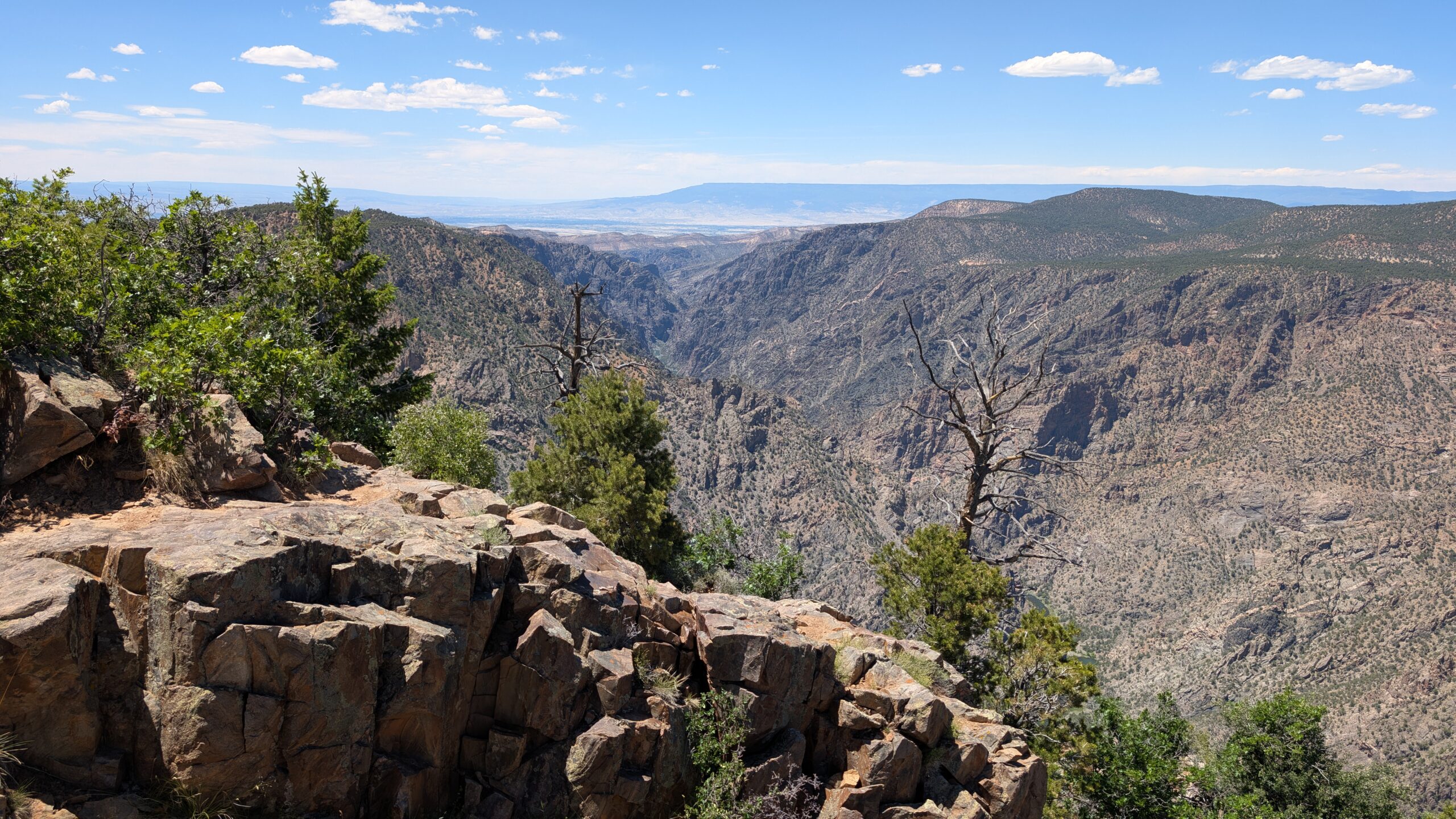
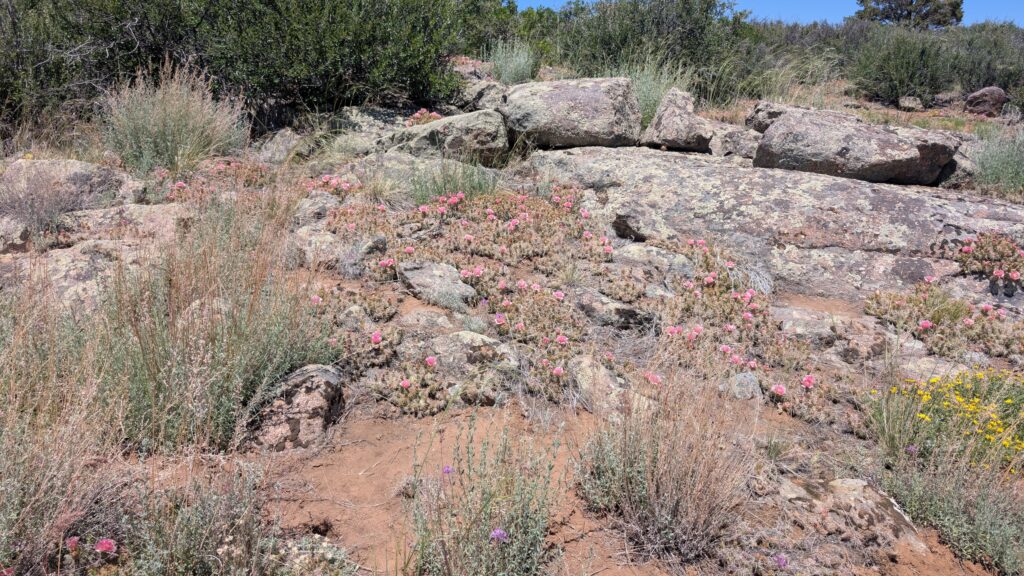
I won’t detail the next 2 overlooks, because they are very similar to the third, called Devil’s Lookout. On the way out to this overlook, we saw a beautiful field of flowering cacti.
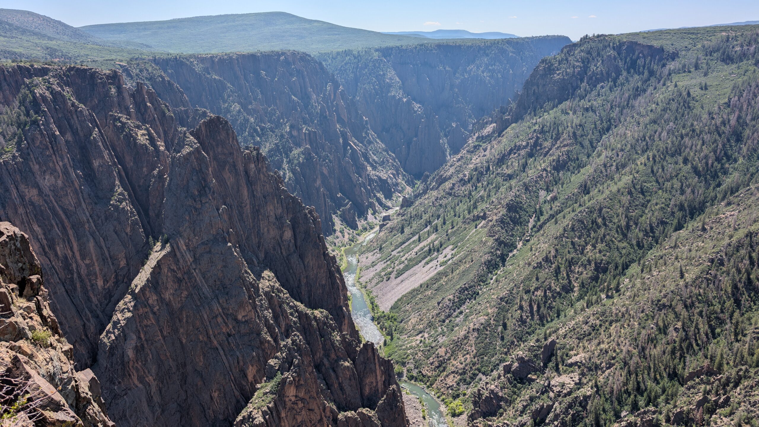
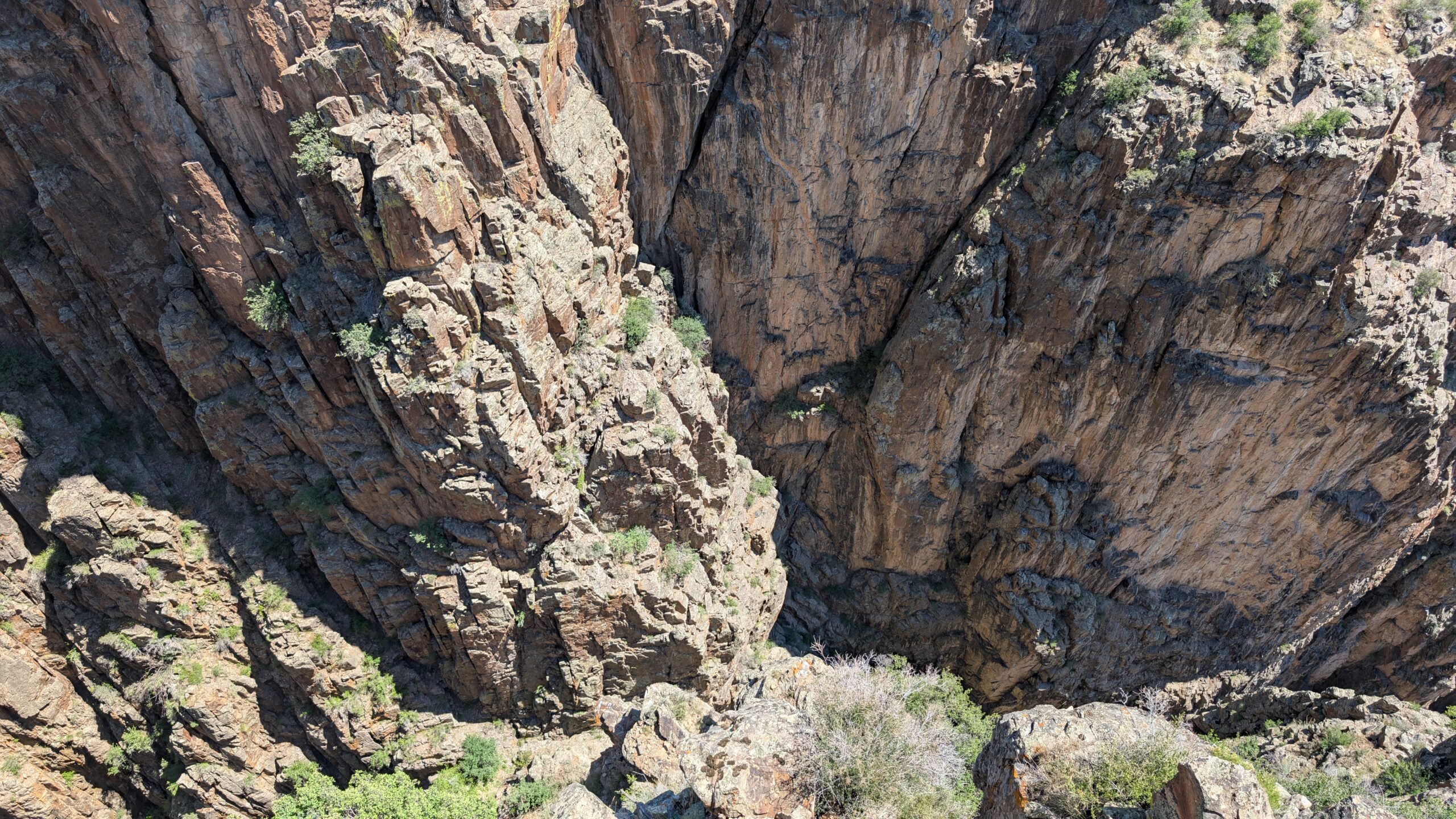
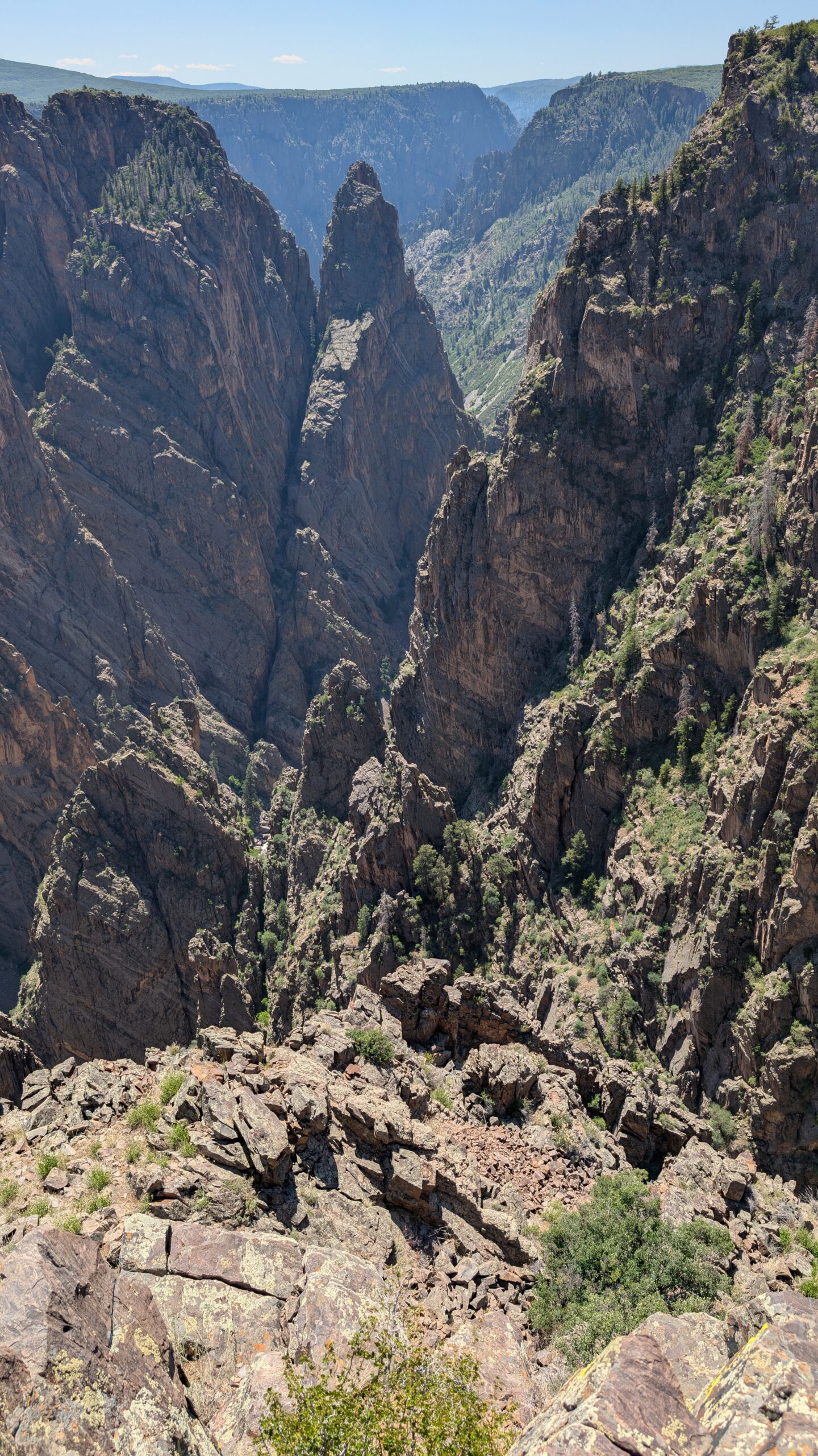
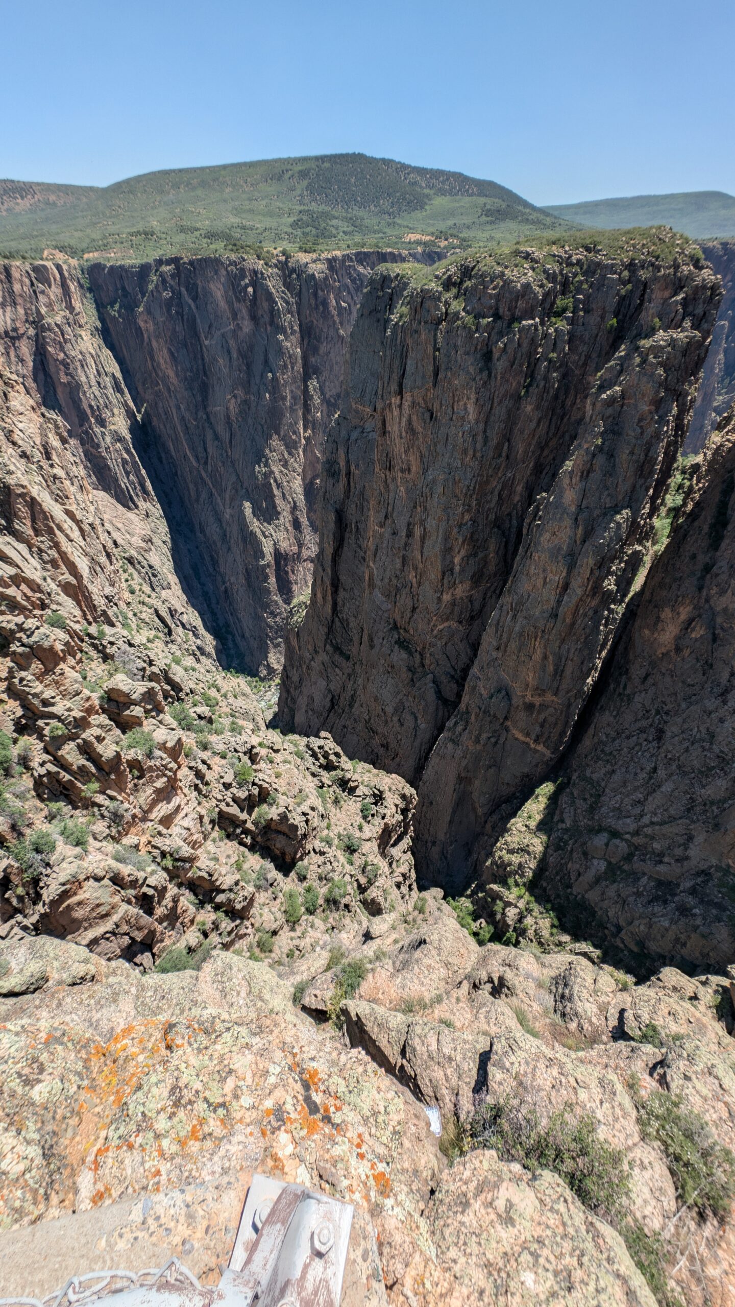
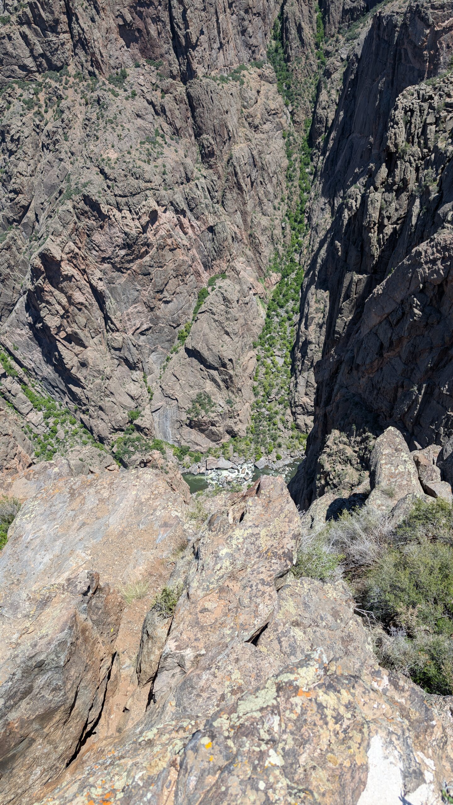
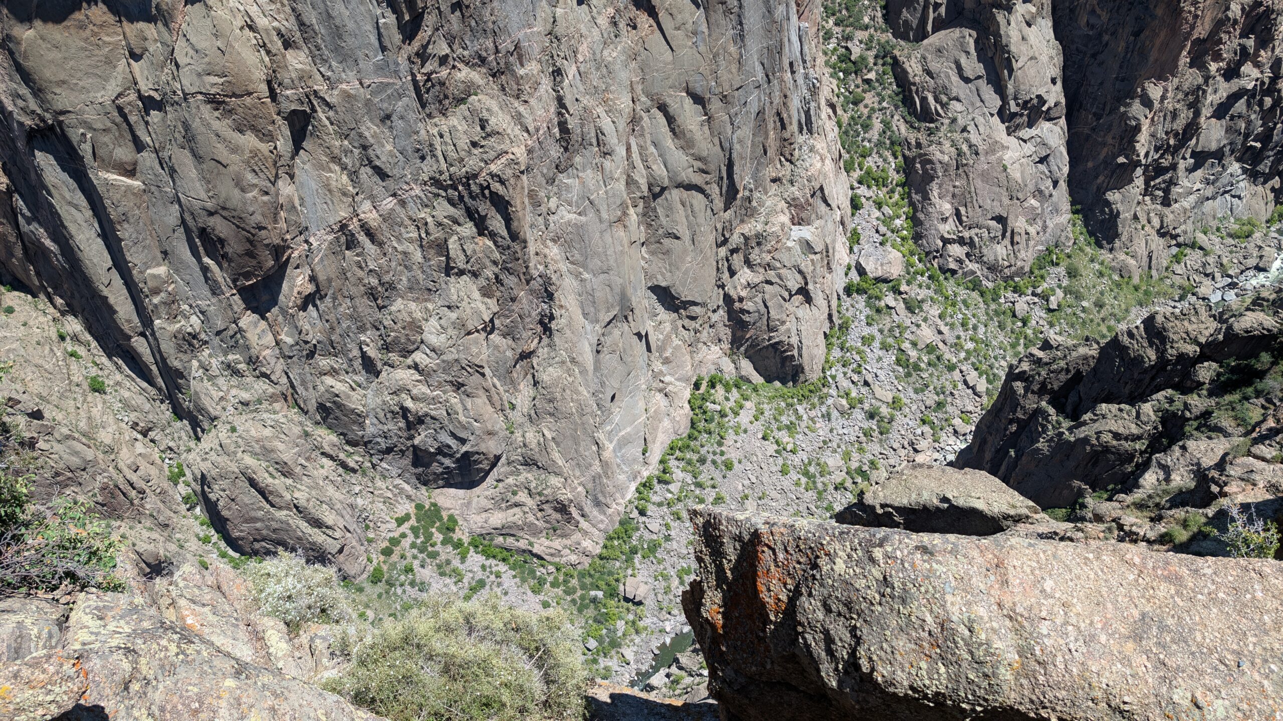
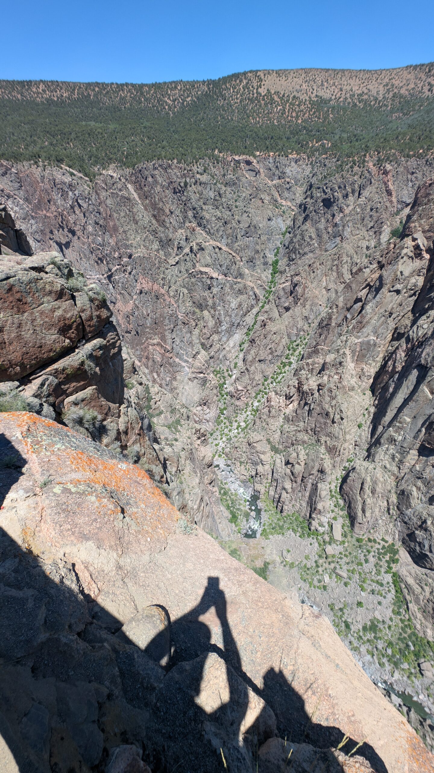
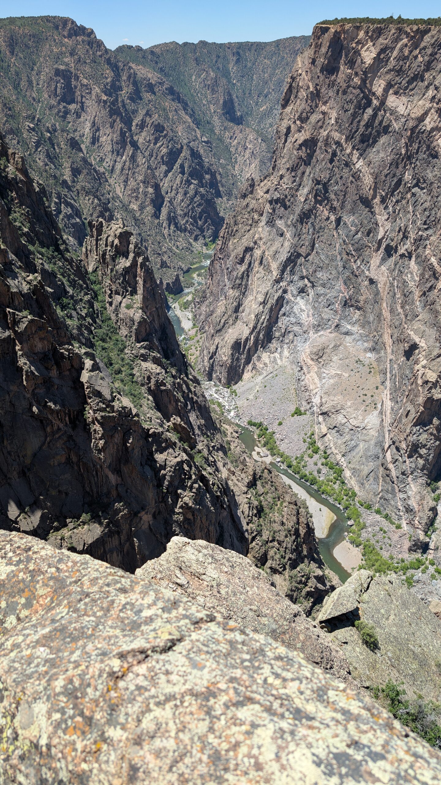
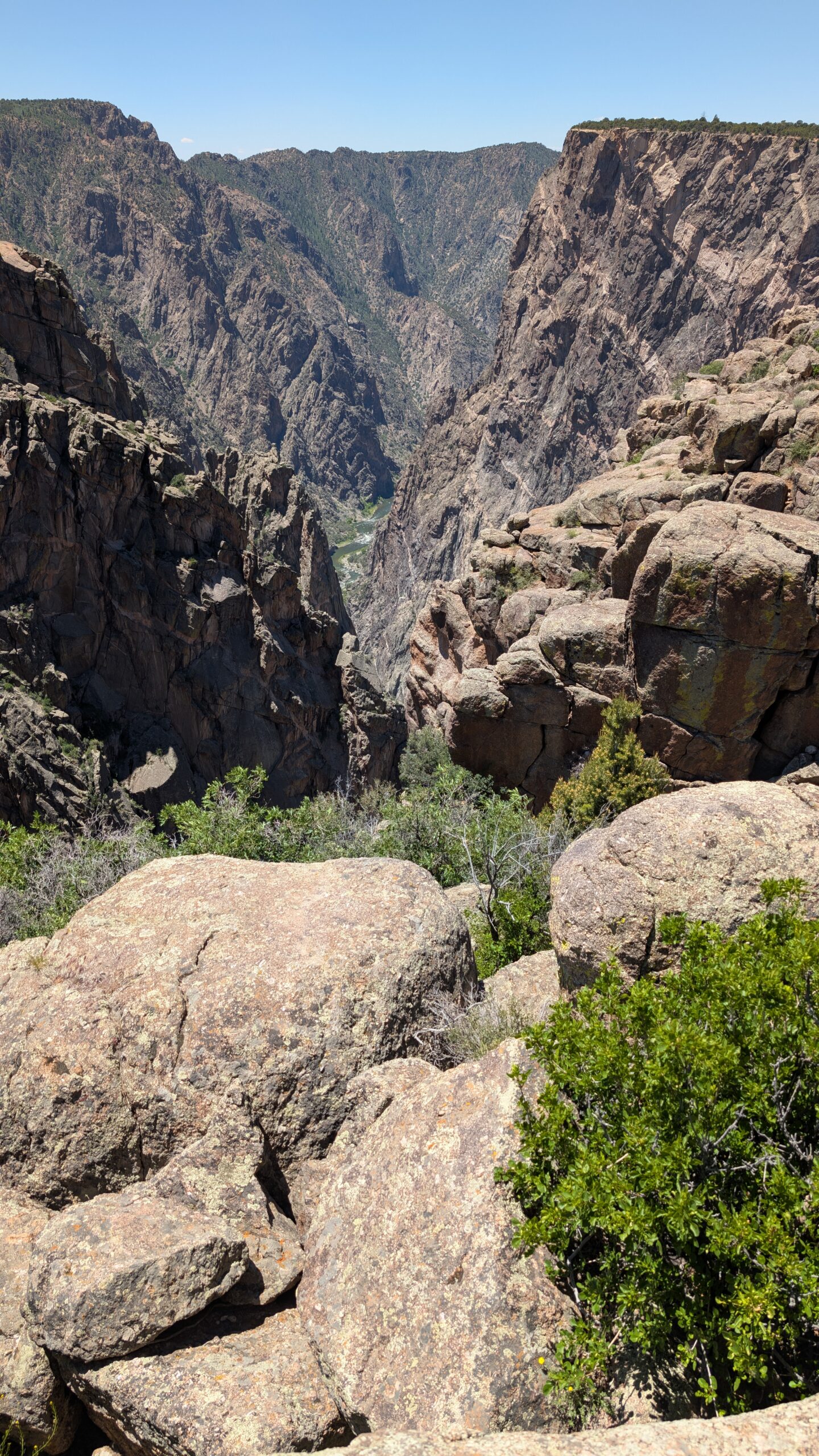
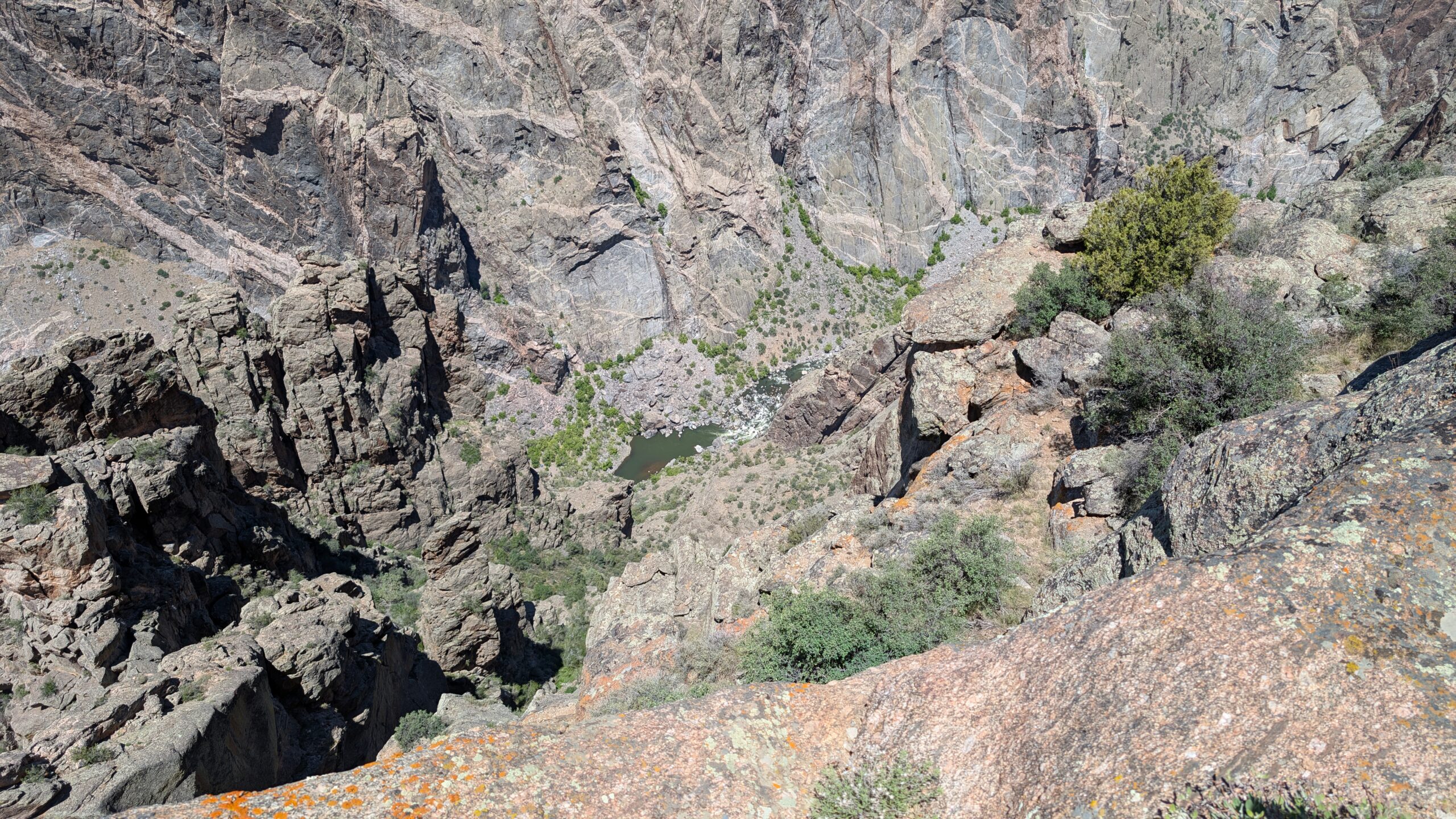
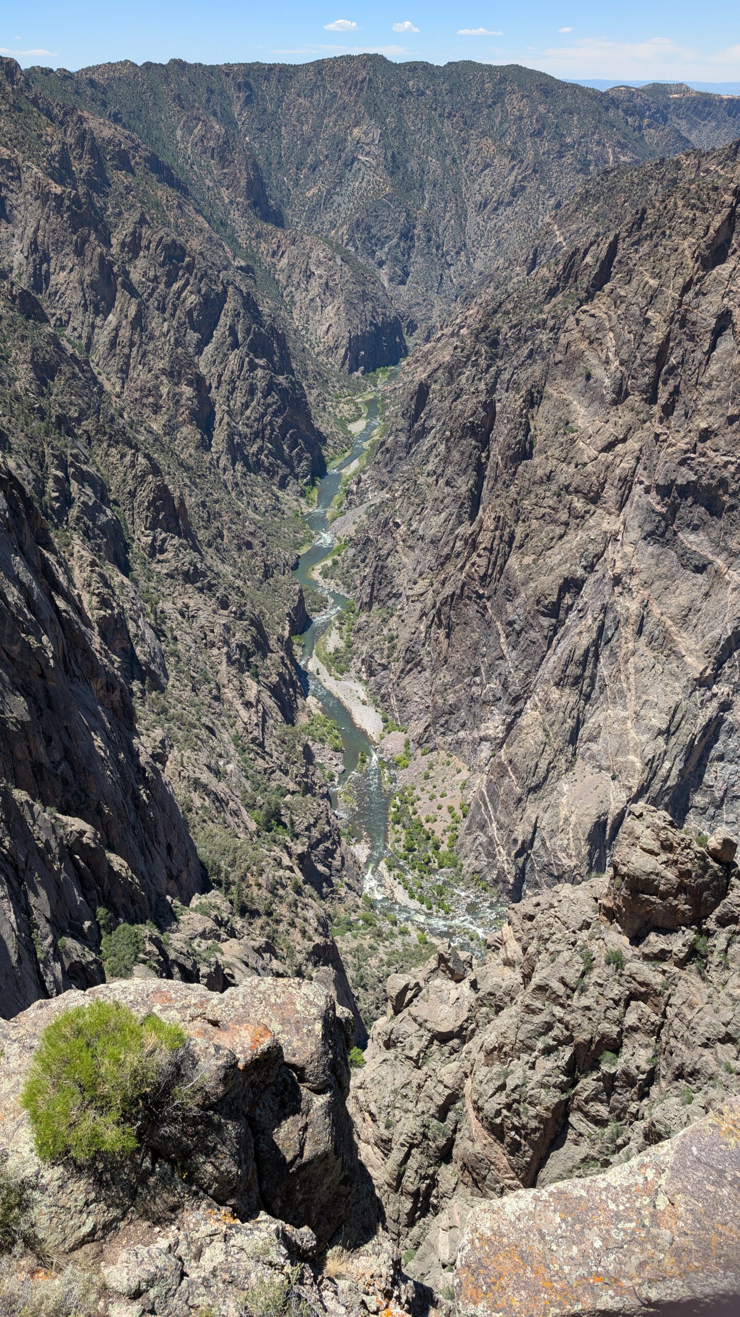
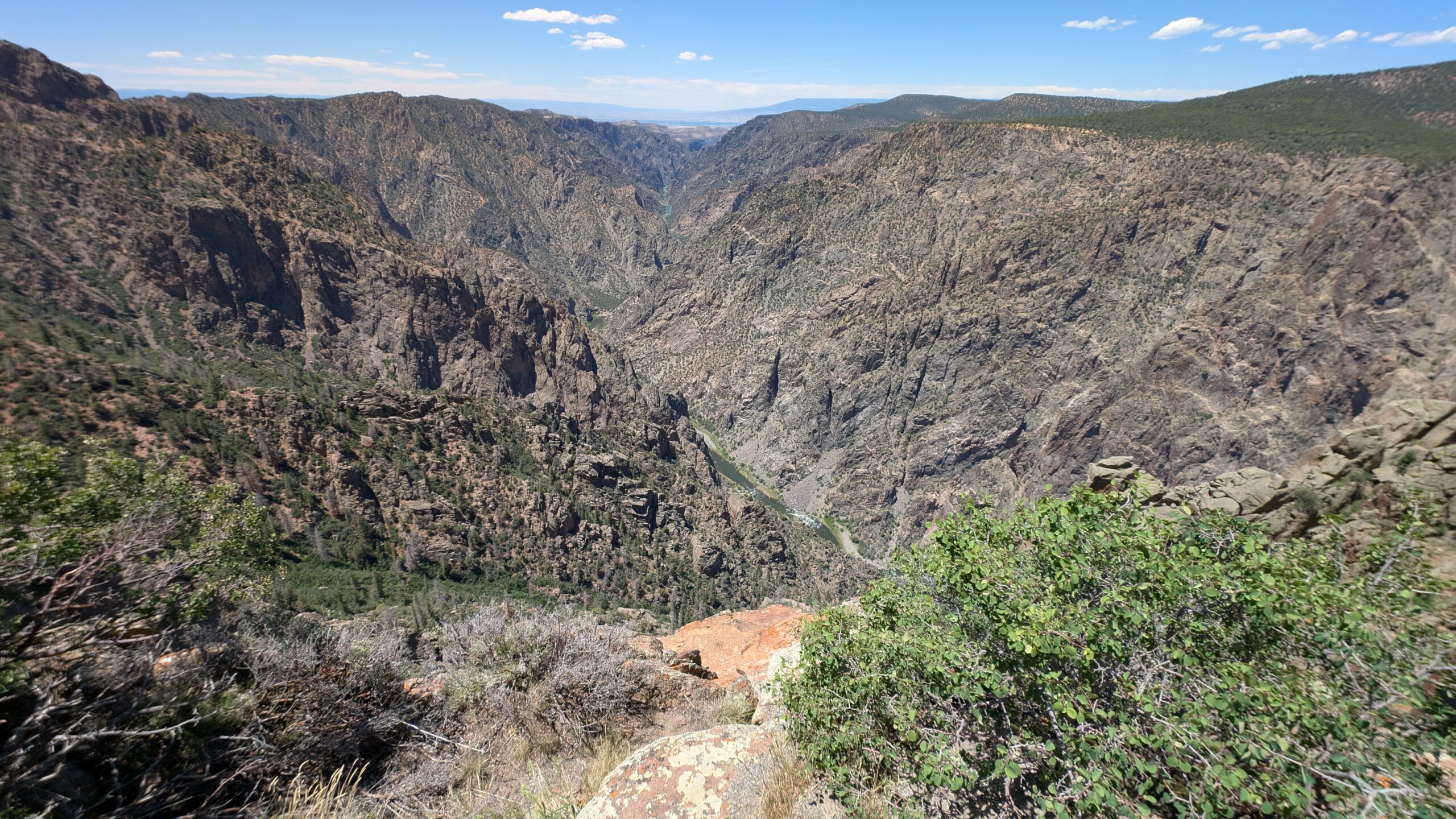
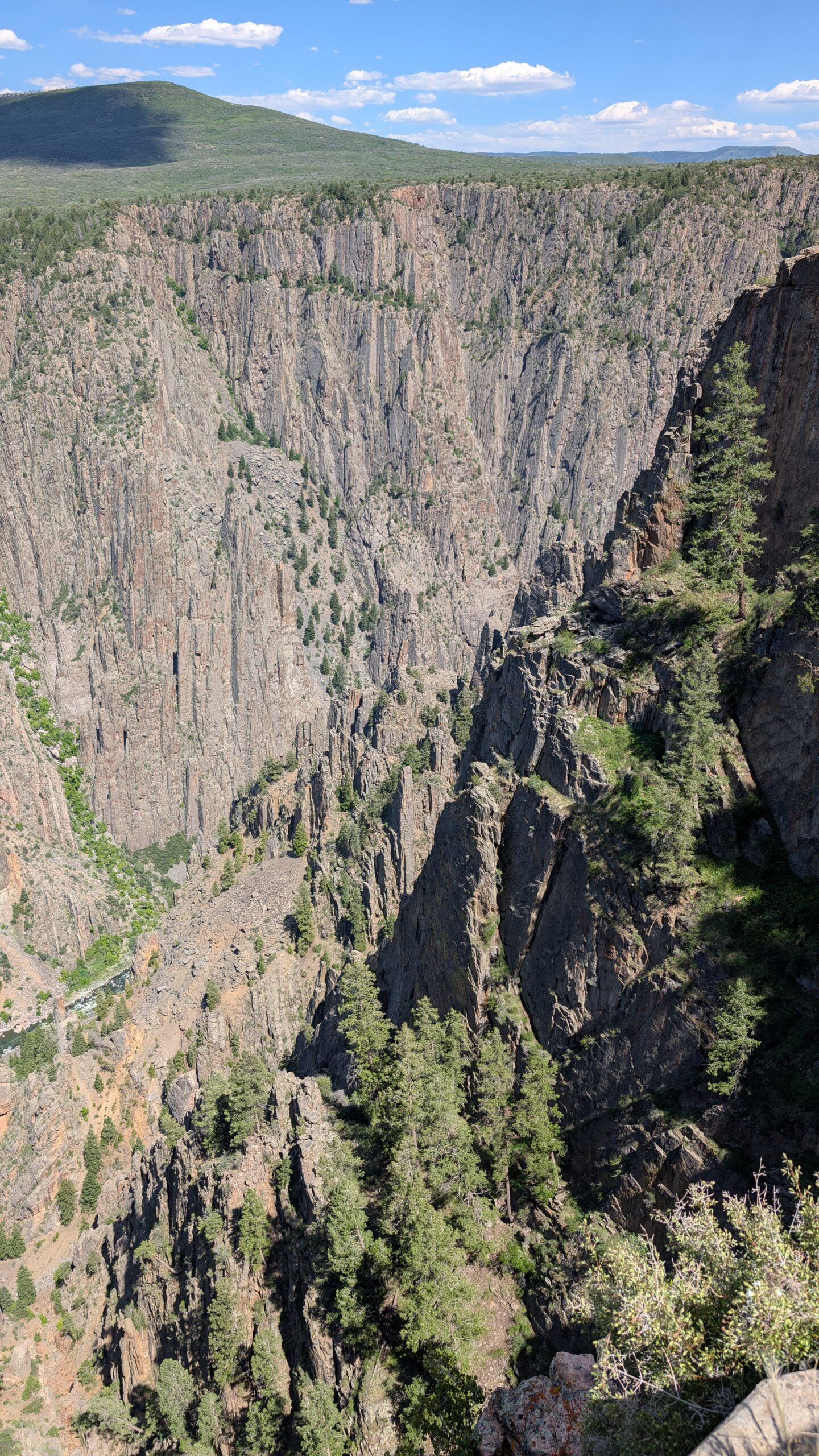
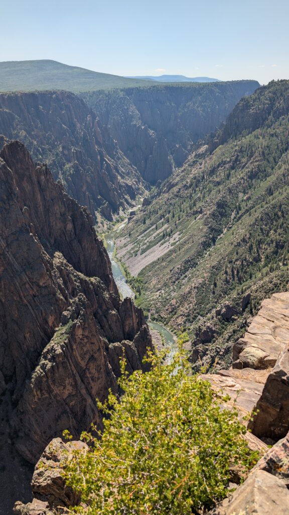
It was at this overlook that I got what I believe is the best perspective shot showing just how steep and deep this is. I took this looking down into the canyon and you can see the top on the other side. This is somewhere around 1800 ft down to the water. I’m pretty sure I had to take this with the wide angle .5x zoom on my camera just to fit it all in the picture.

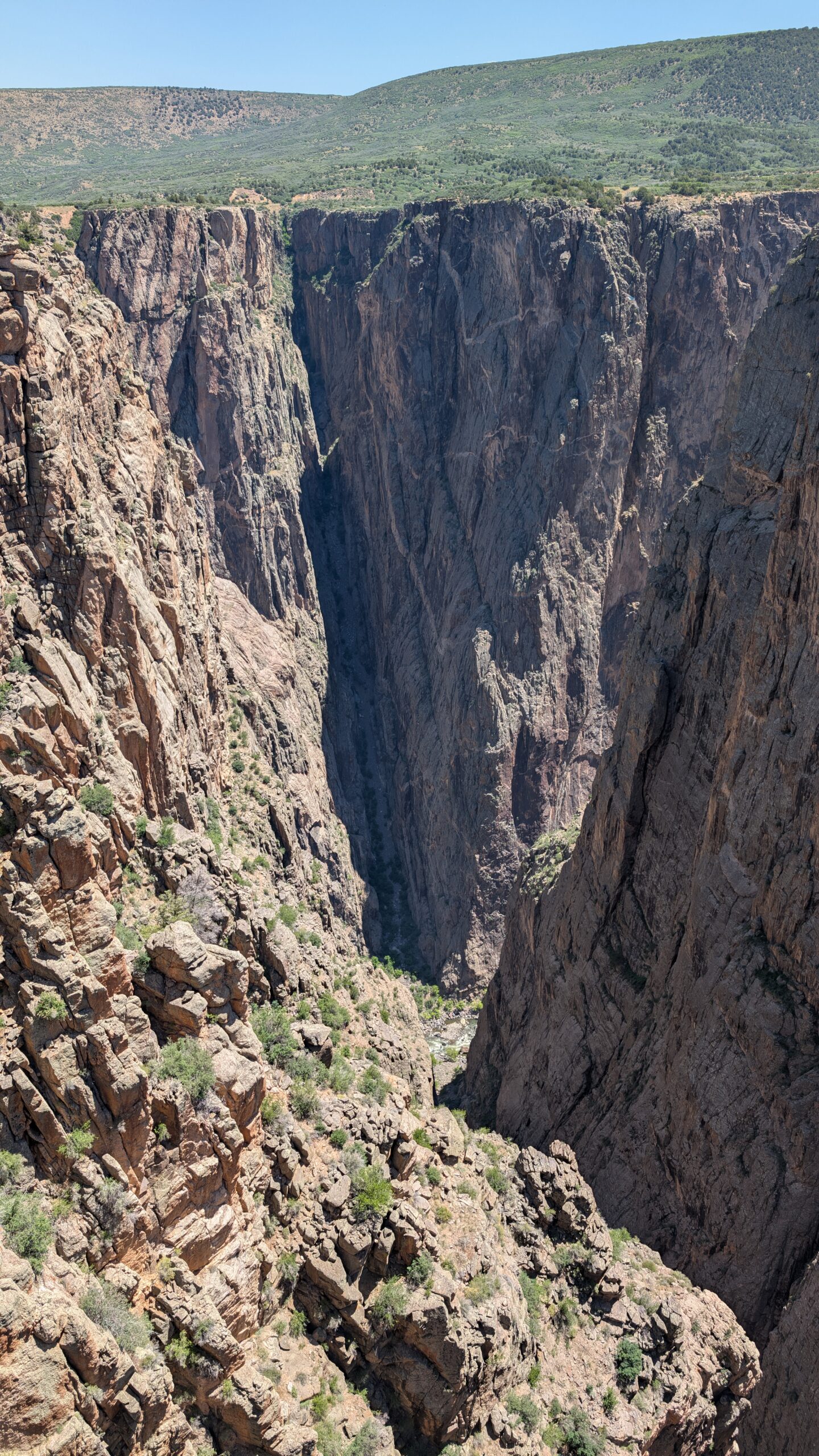
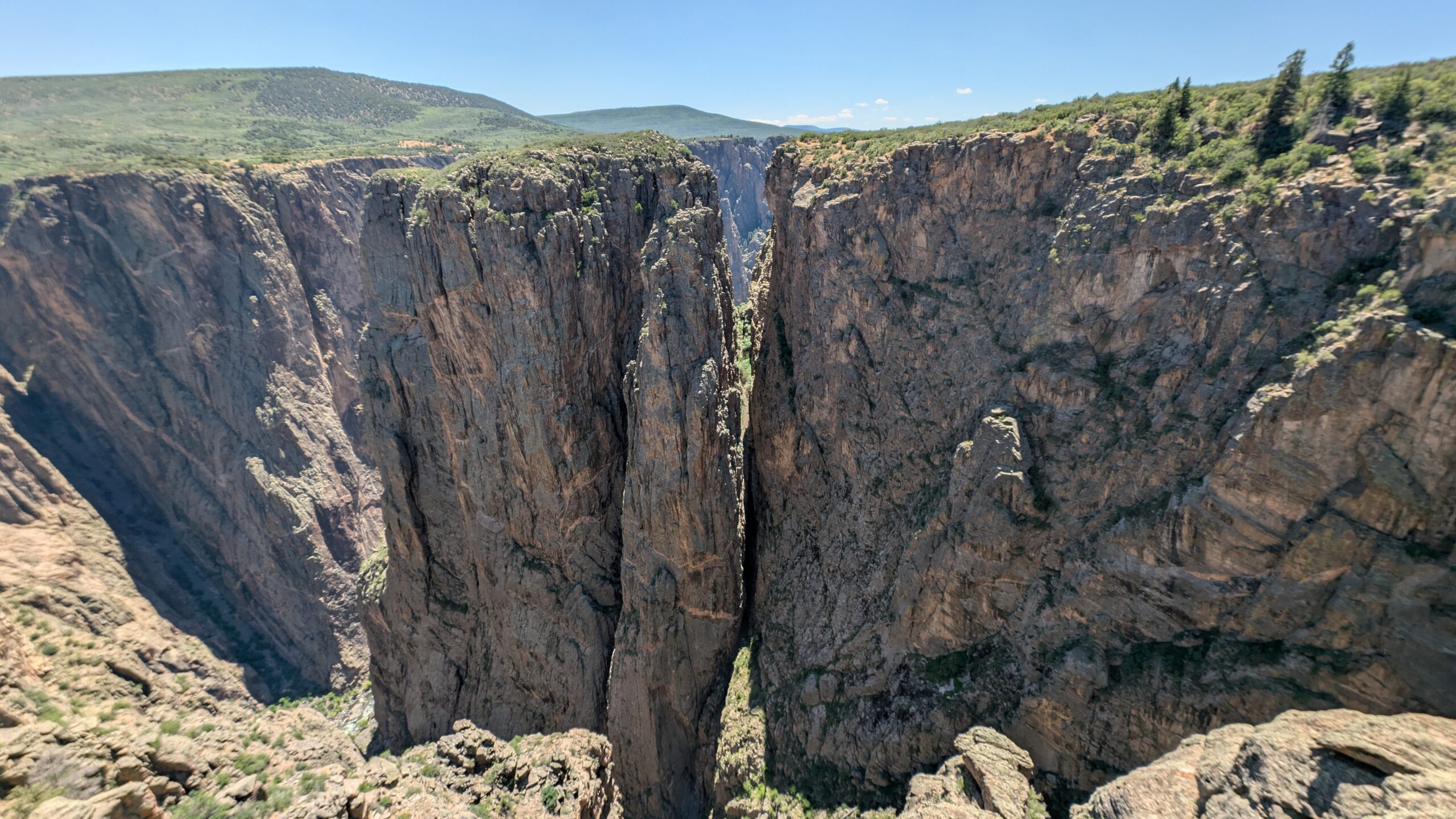
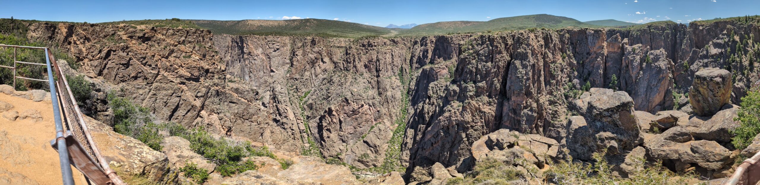
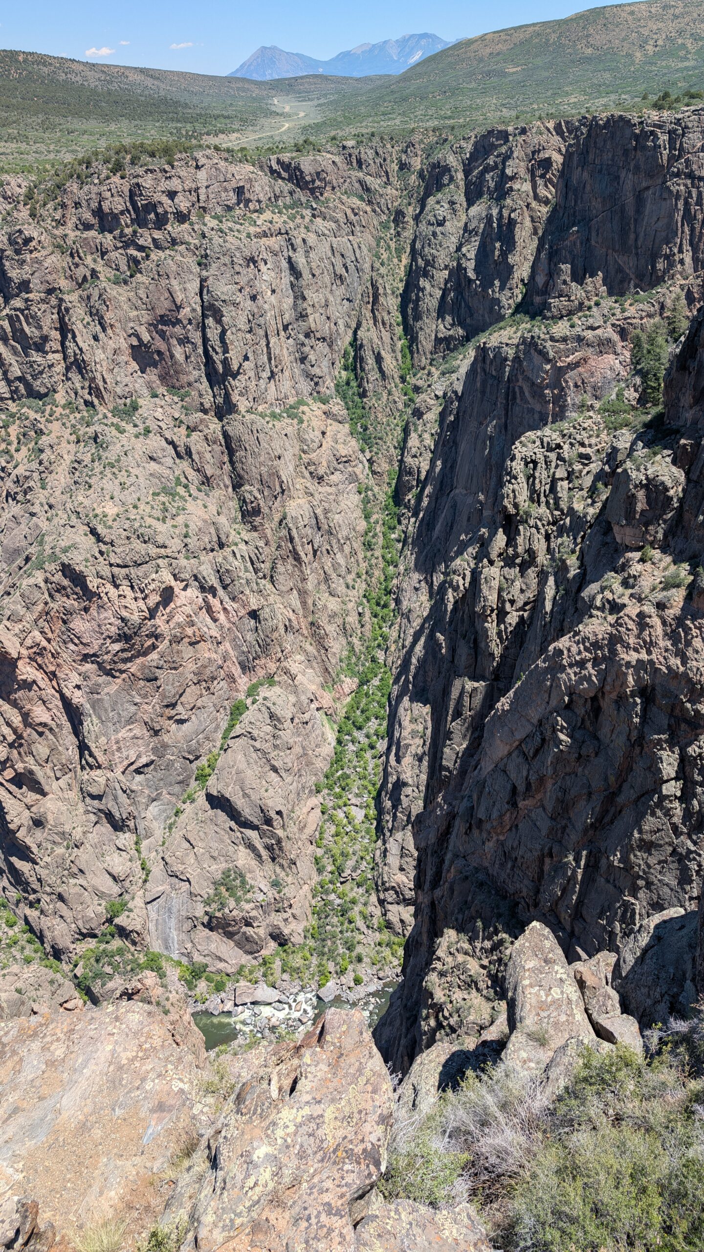
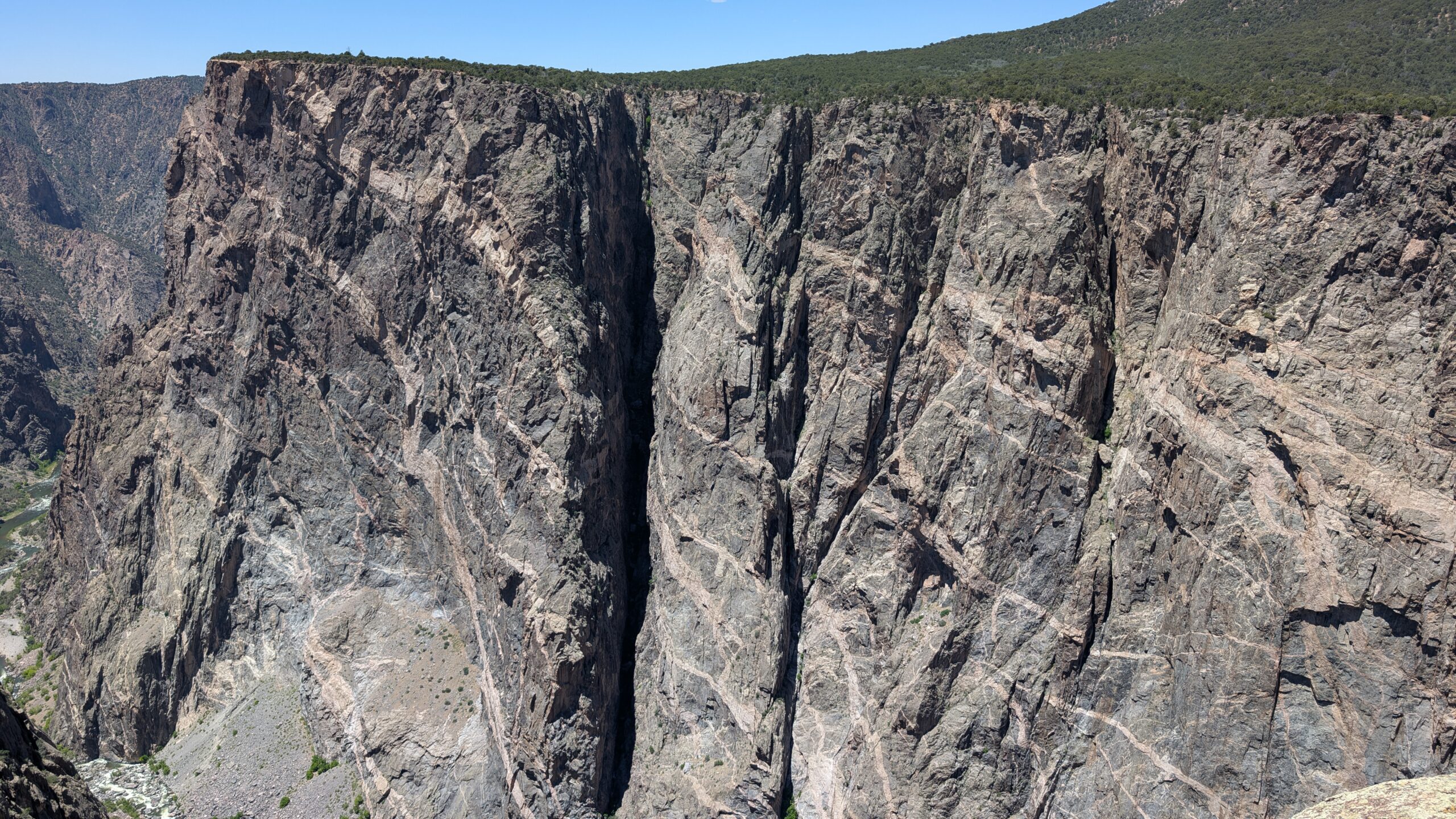
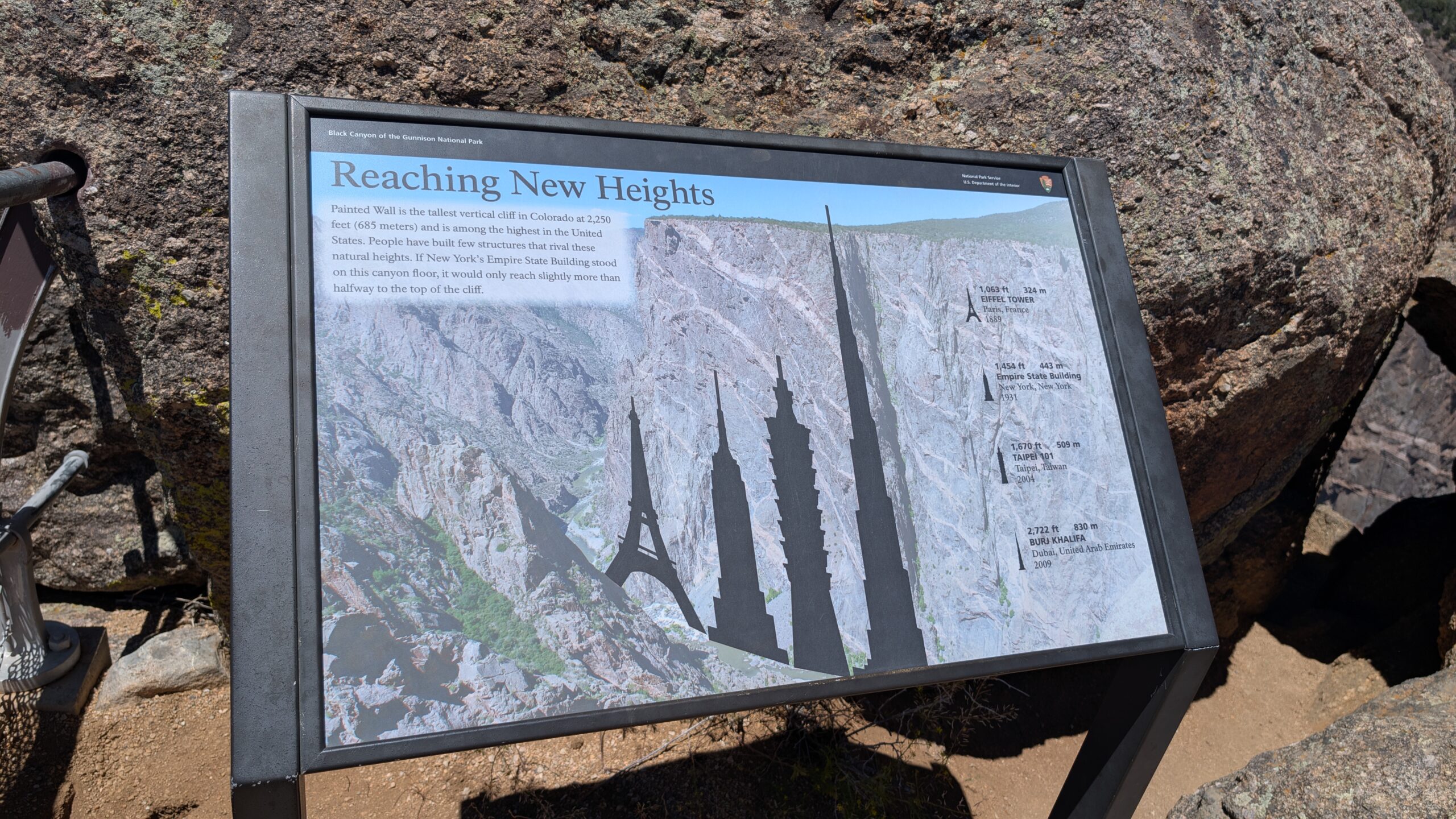
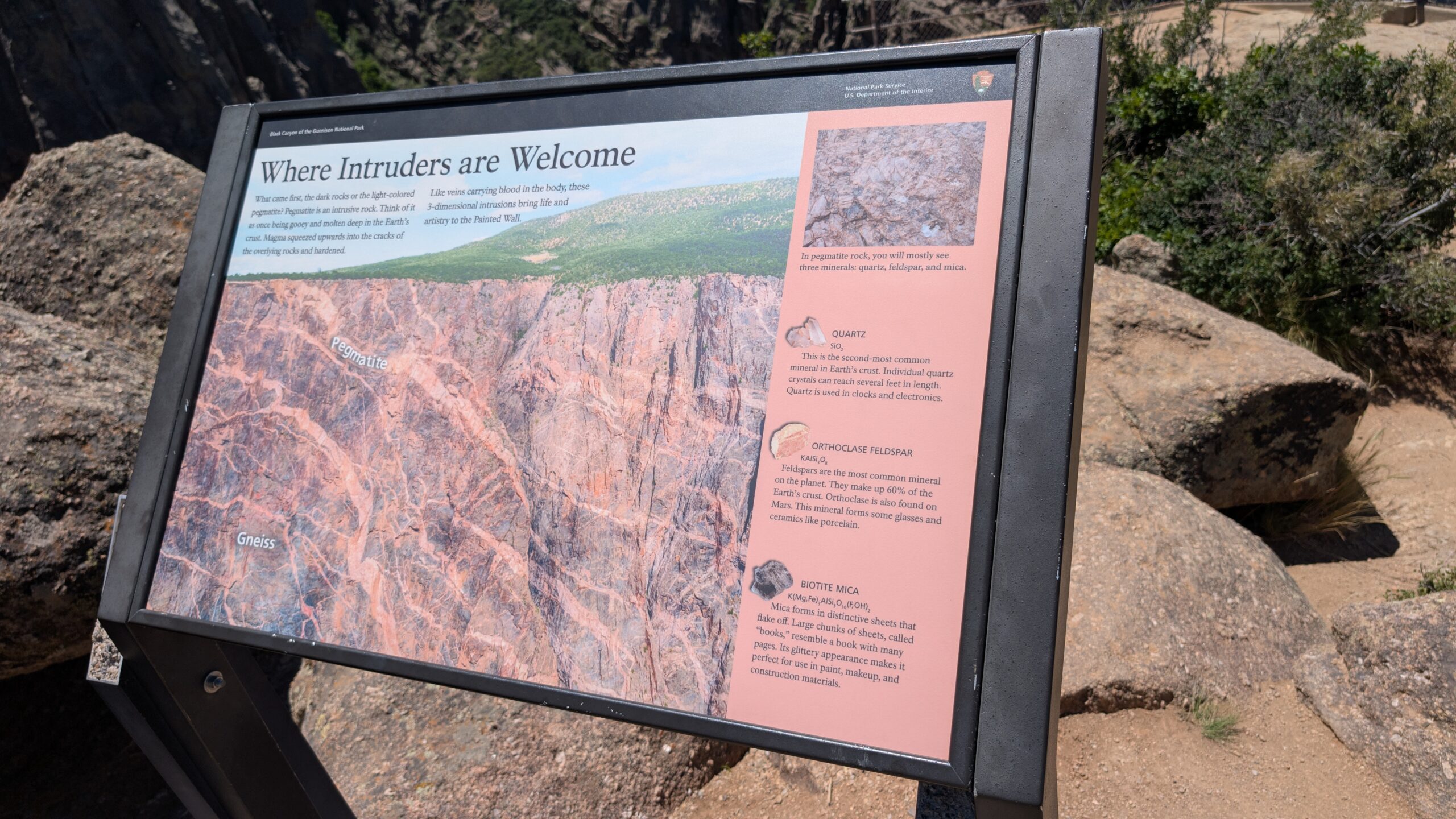
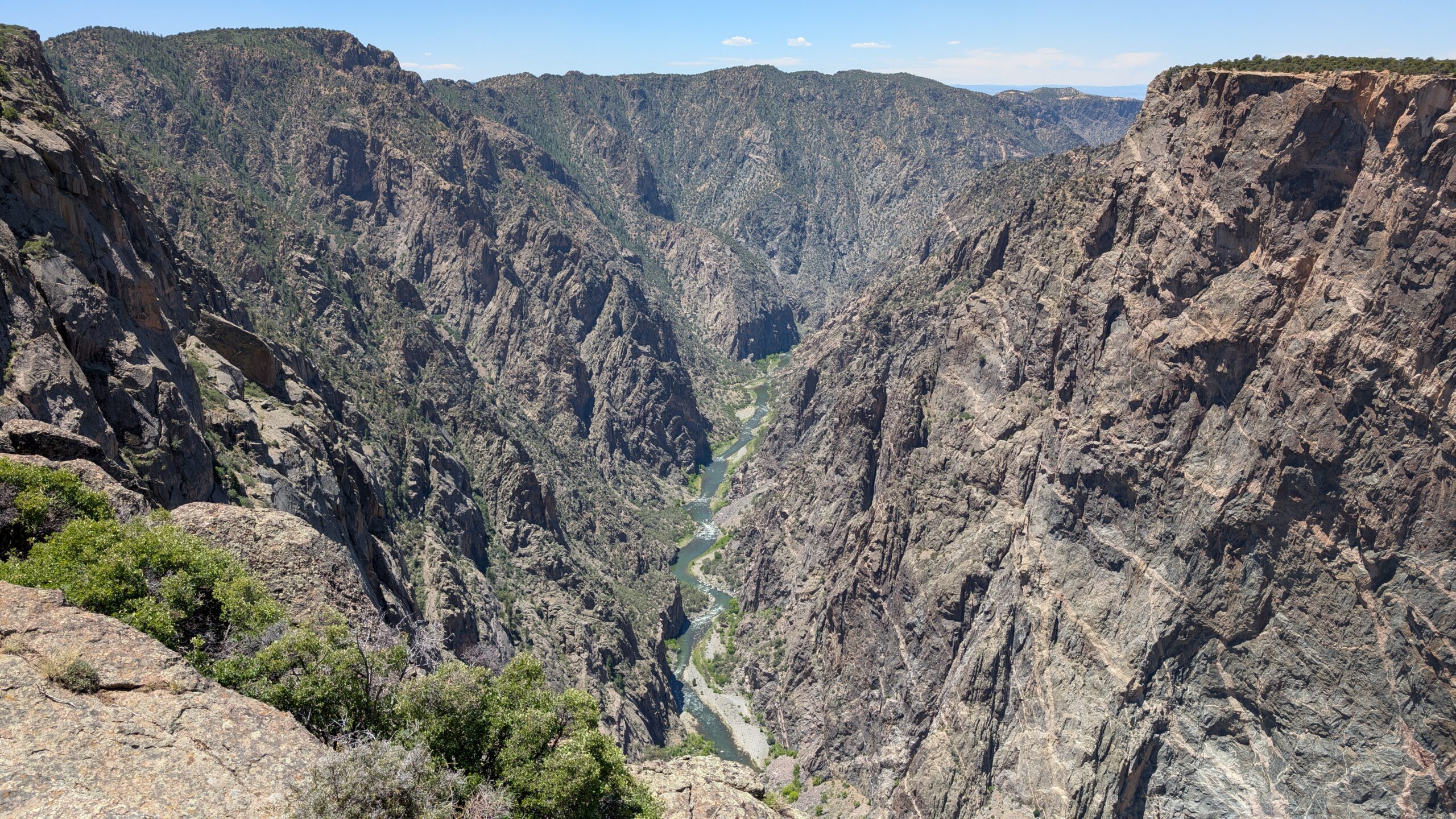
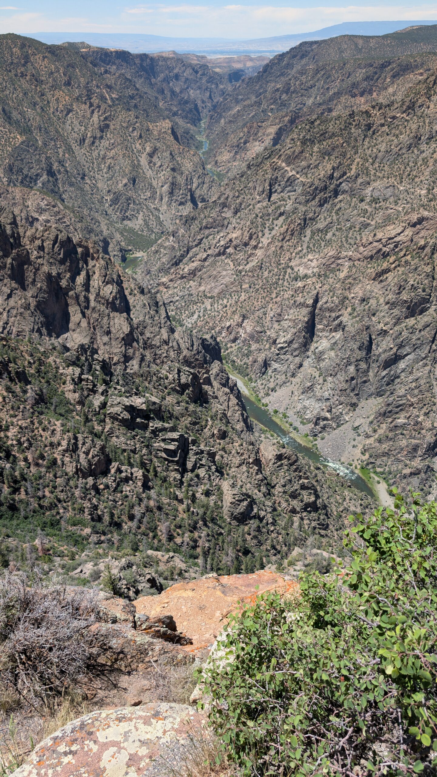
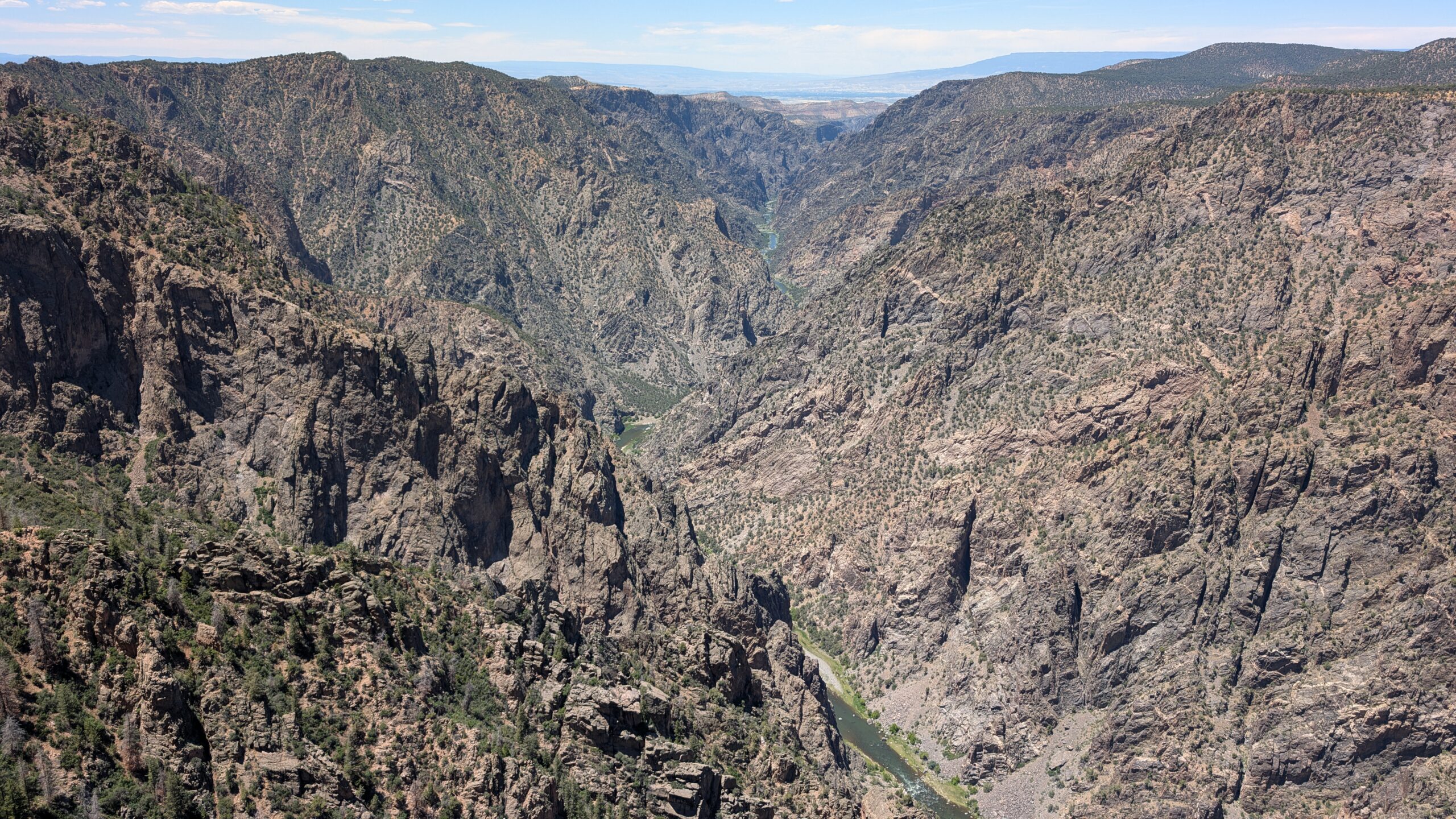
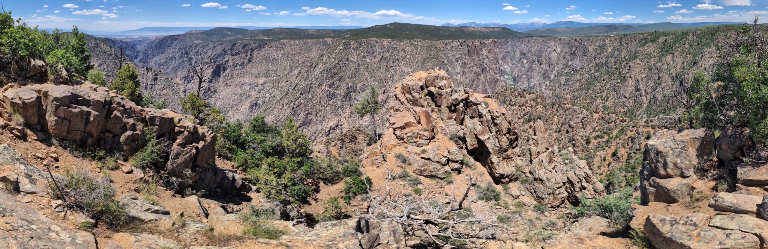
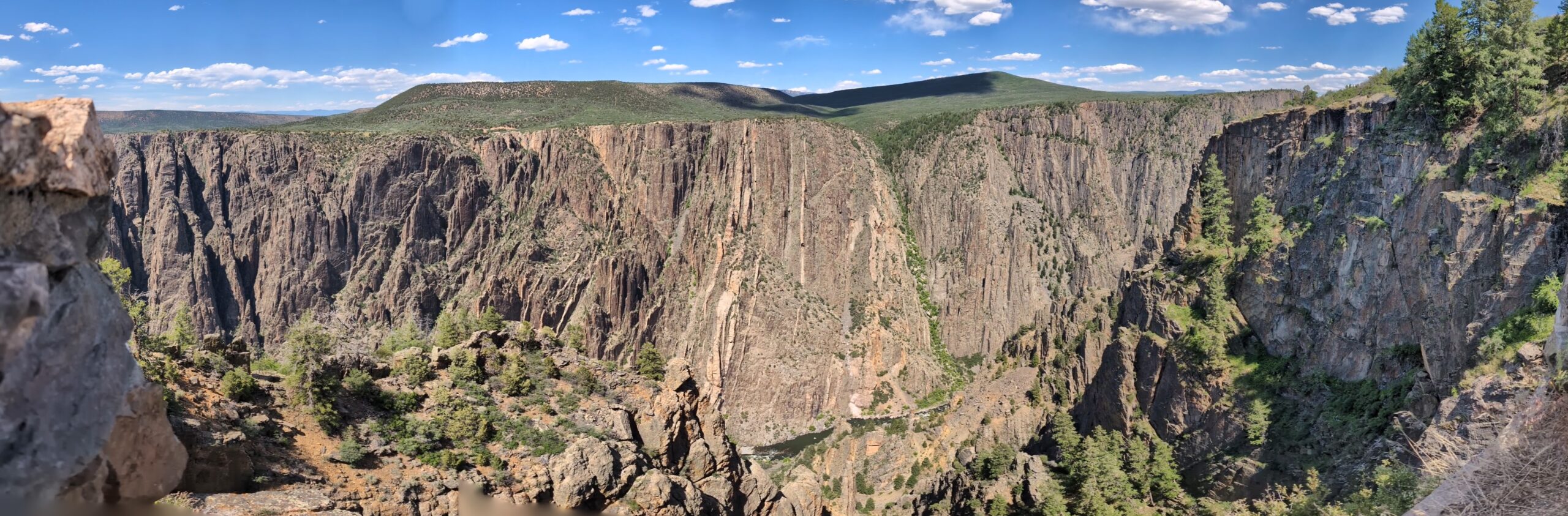
The next two overlooks gave a good view of the Painted Wall, which was formed by pink volcanic rock filling in voids in the ancient darker rock. This is the tallest Cliff face in Colorado at 2250 ft.
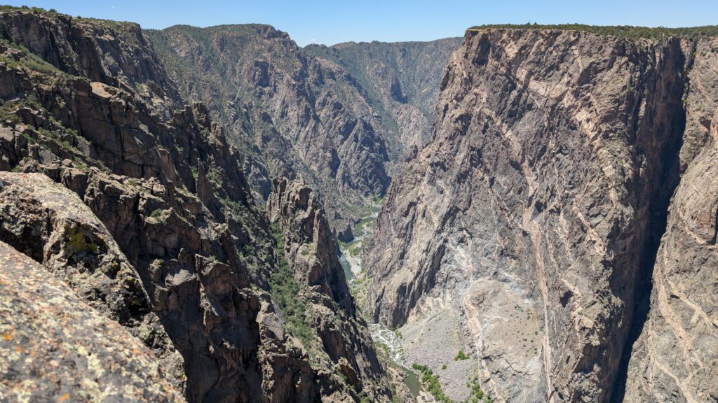
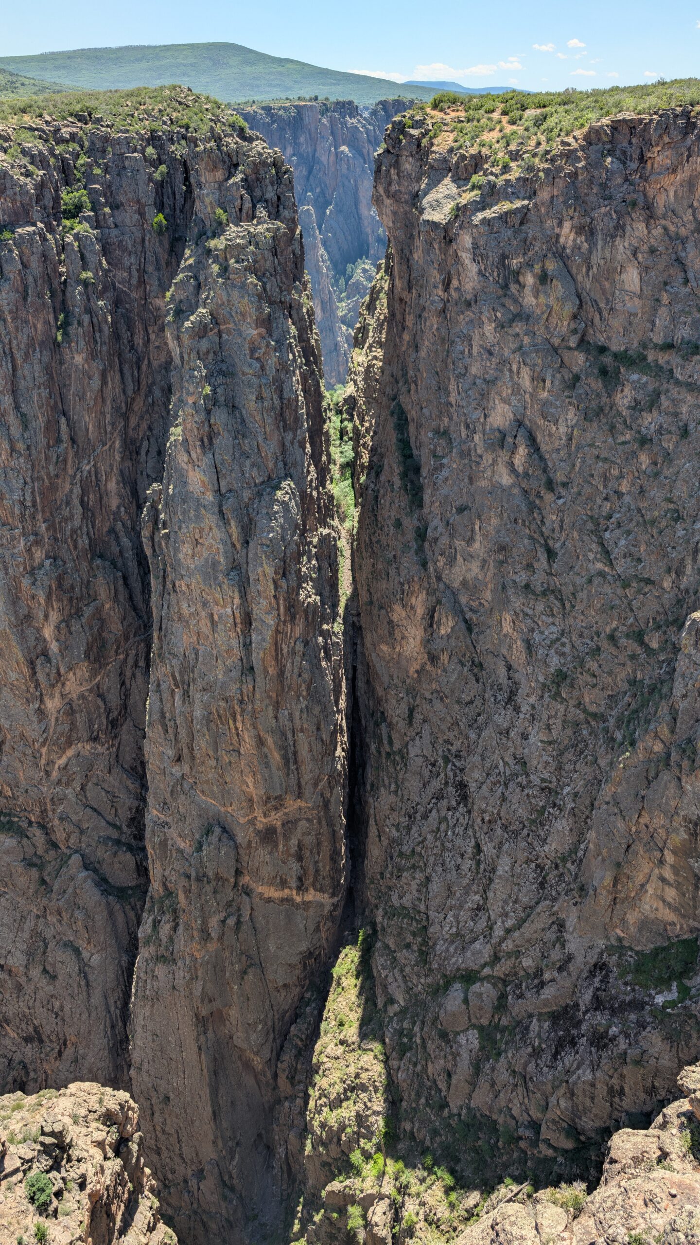
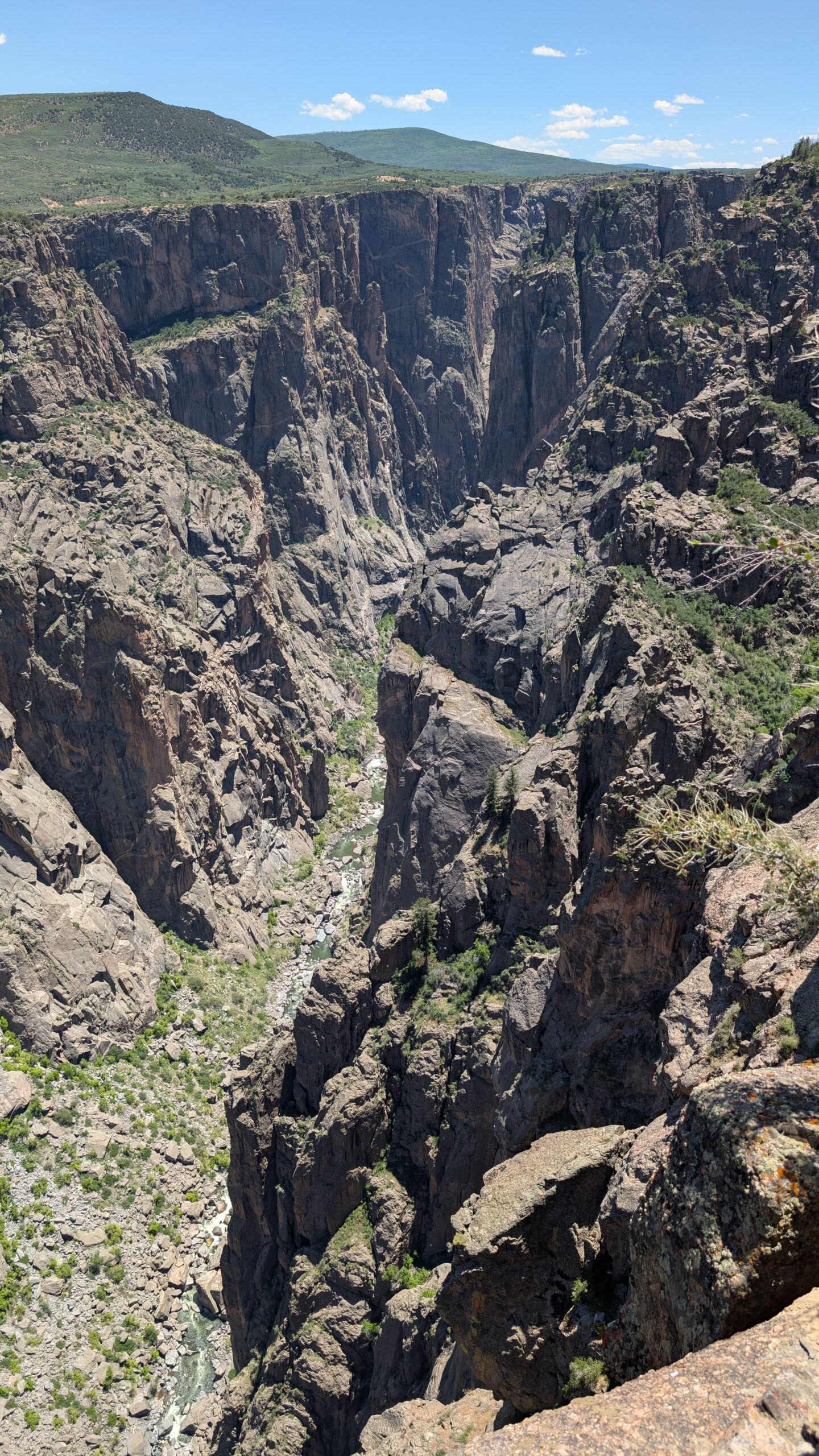
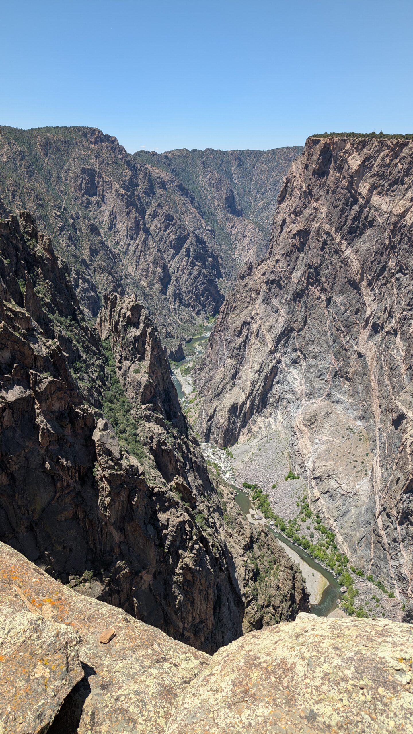
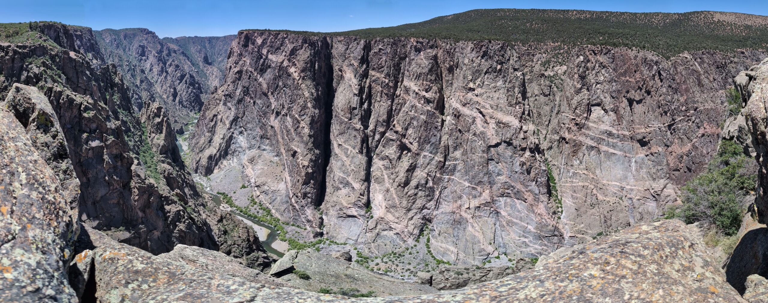
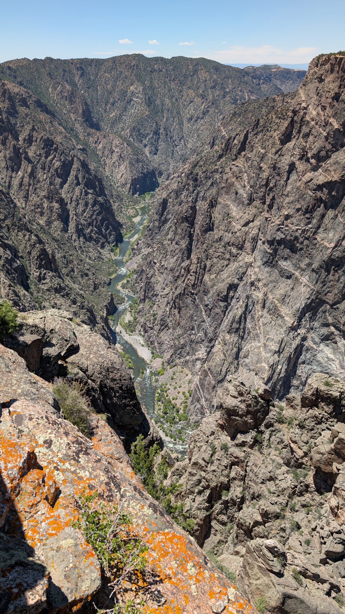
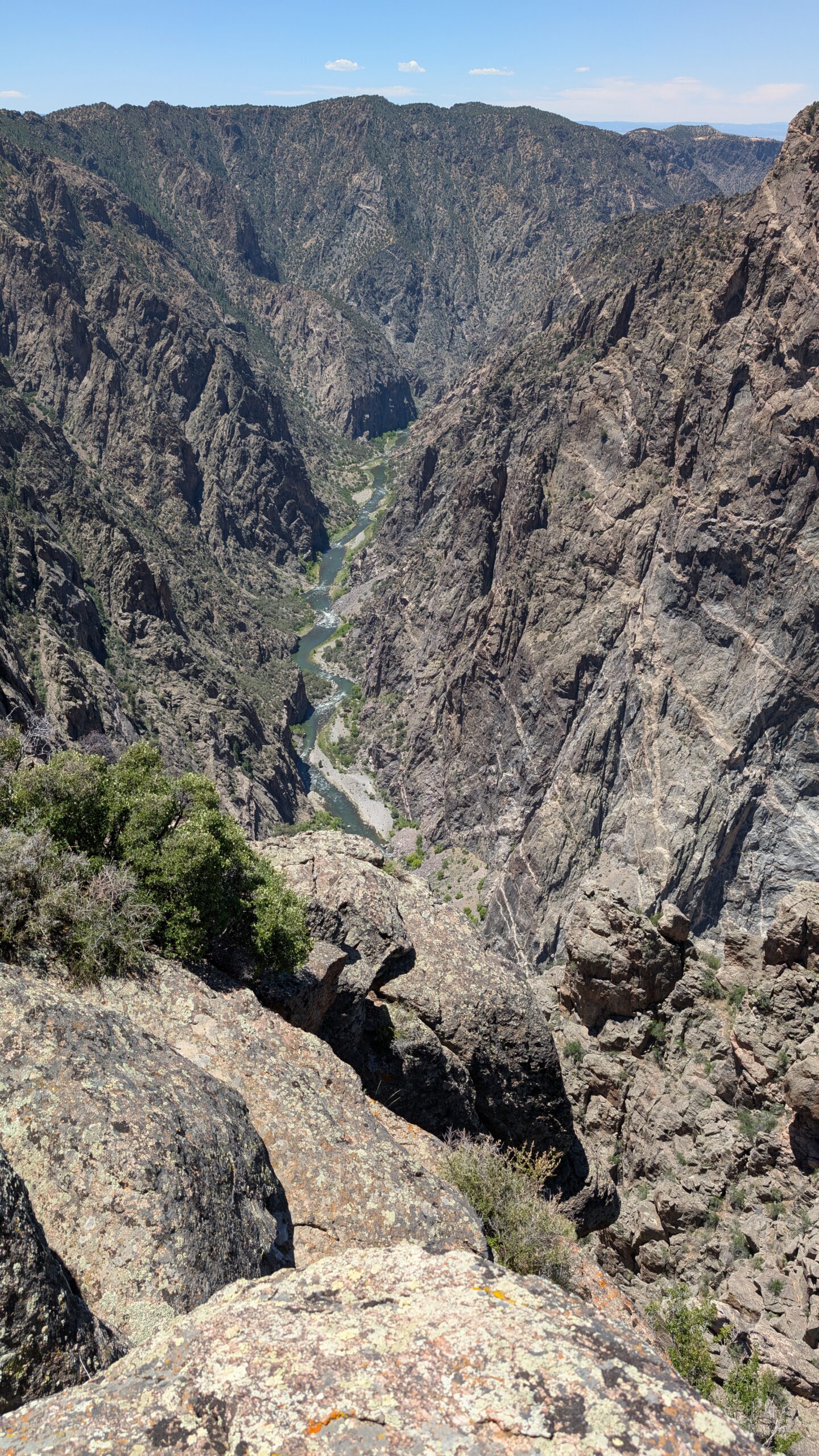
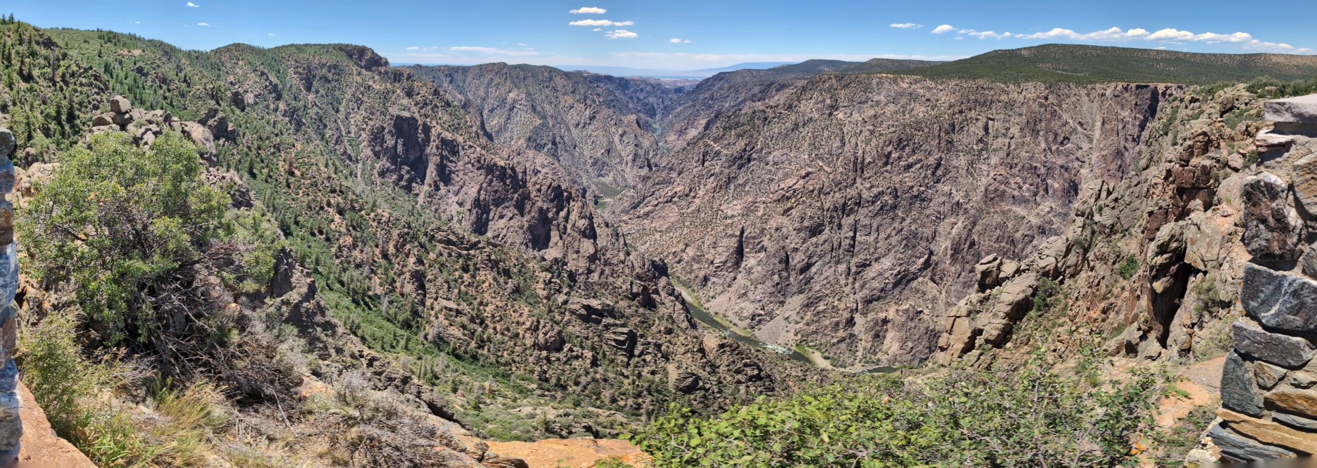
Anothe very good shot of the river meandering through the canyon was at Cedar Point, which gives a fairly direct view down a somewhat straight portion of the canyon. This is my favorite shot of the canyon.
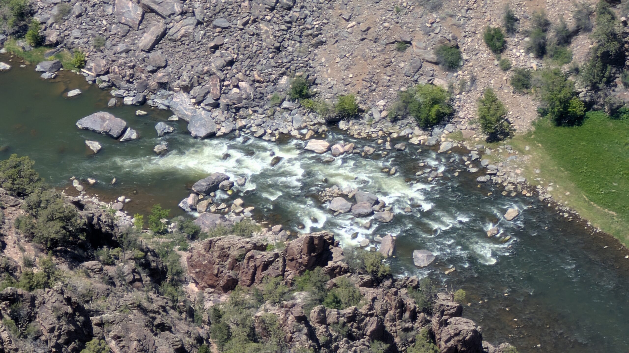
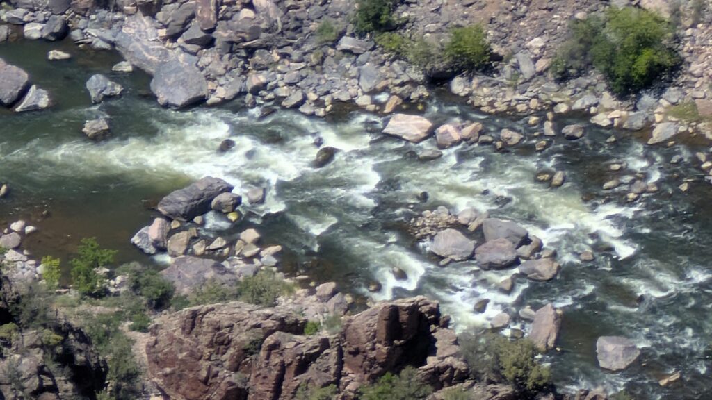
It was at the Sunset View that I caught a good shot of the rapids on the river. This was 28x zoom on my camera. I think some of this is software zoom, but it still shows an incredible amount of detail for a phone camera, considering this water is over 2000 feet away from me.
As Megan said, I hiked out to Warner Point by myself since Emmett was napping. I knew I only had about 30 minutes to do it before the truck would shut itself off, and I knew we were busy today, so I had to make short work of the 1.5 miles. It would take jogging down the inclines and on the flats. I managed it in 28 minutes!
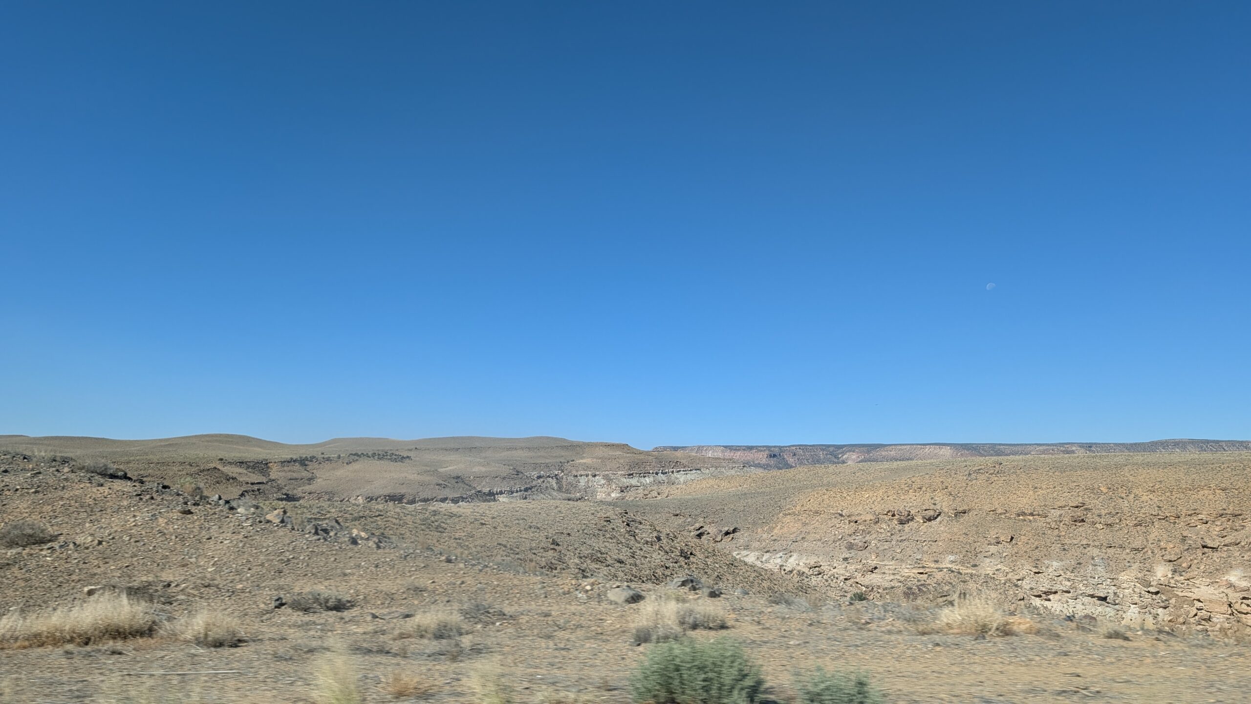
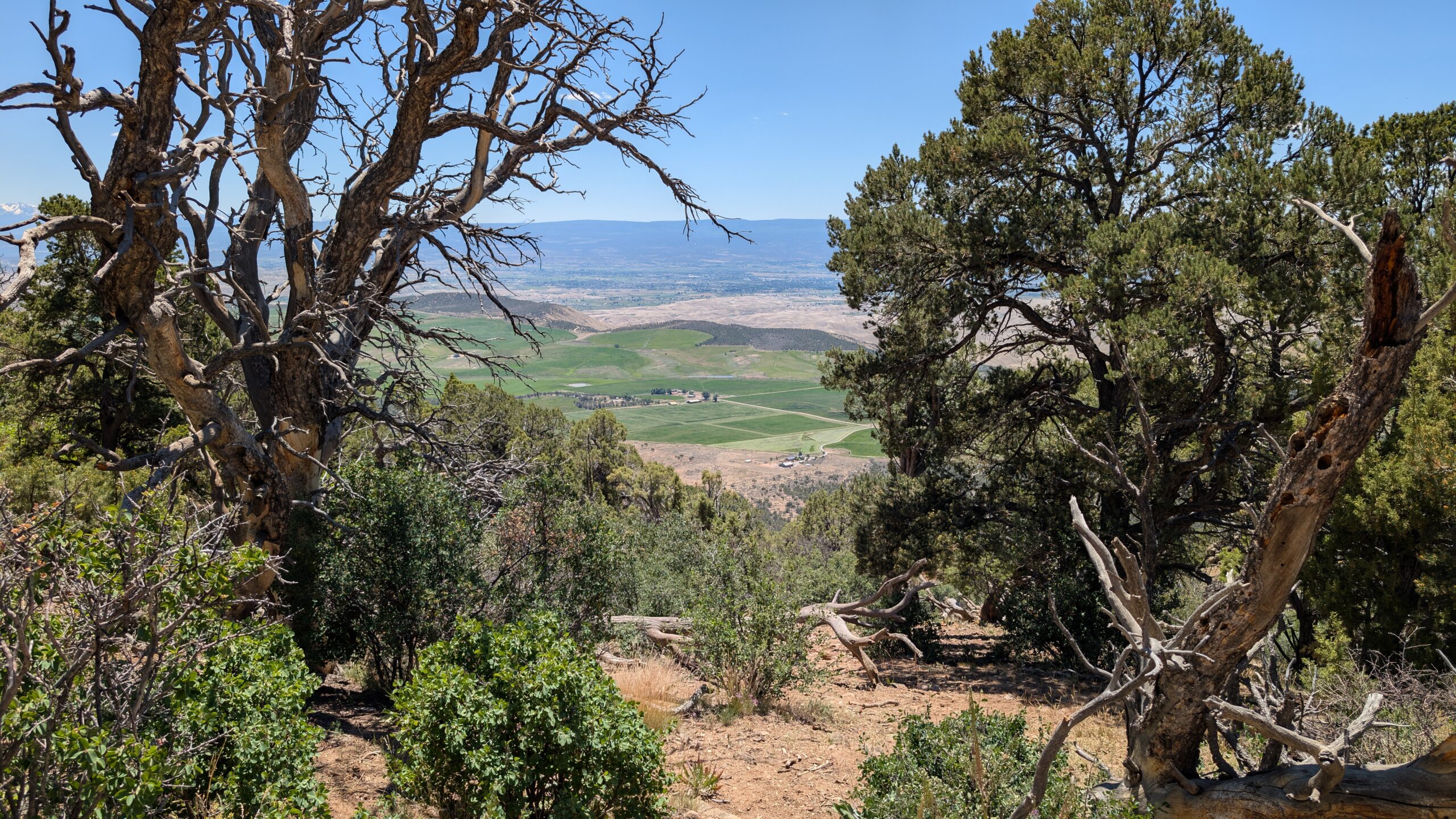
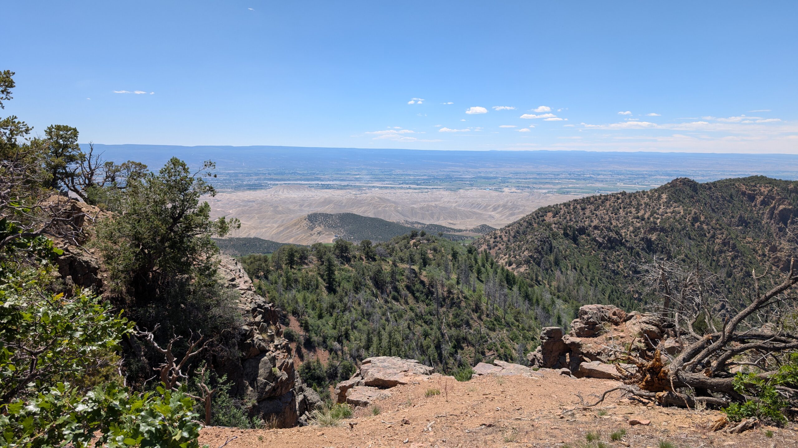
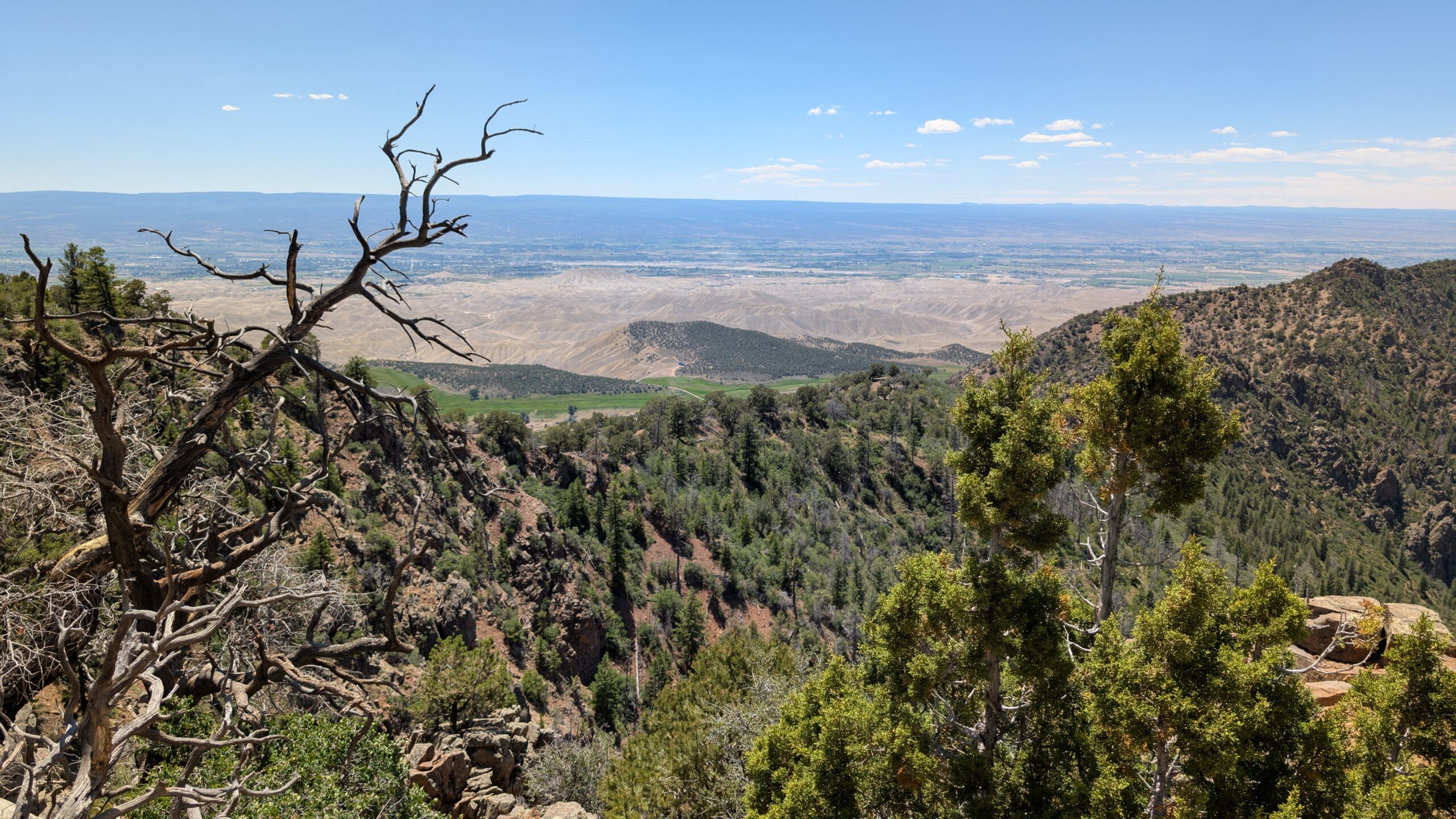
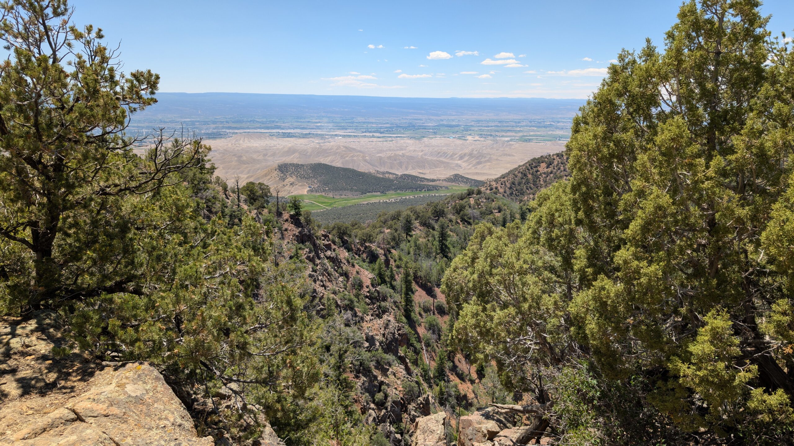
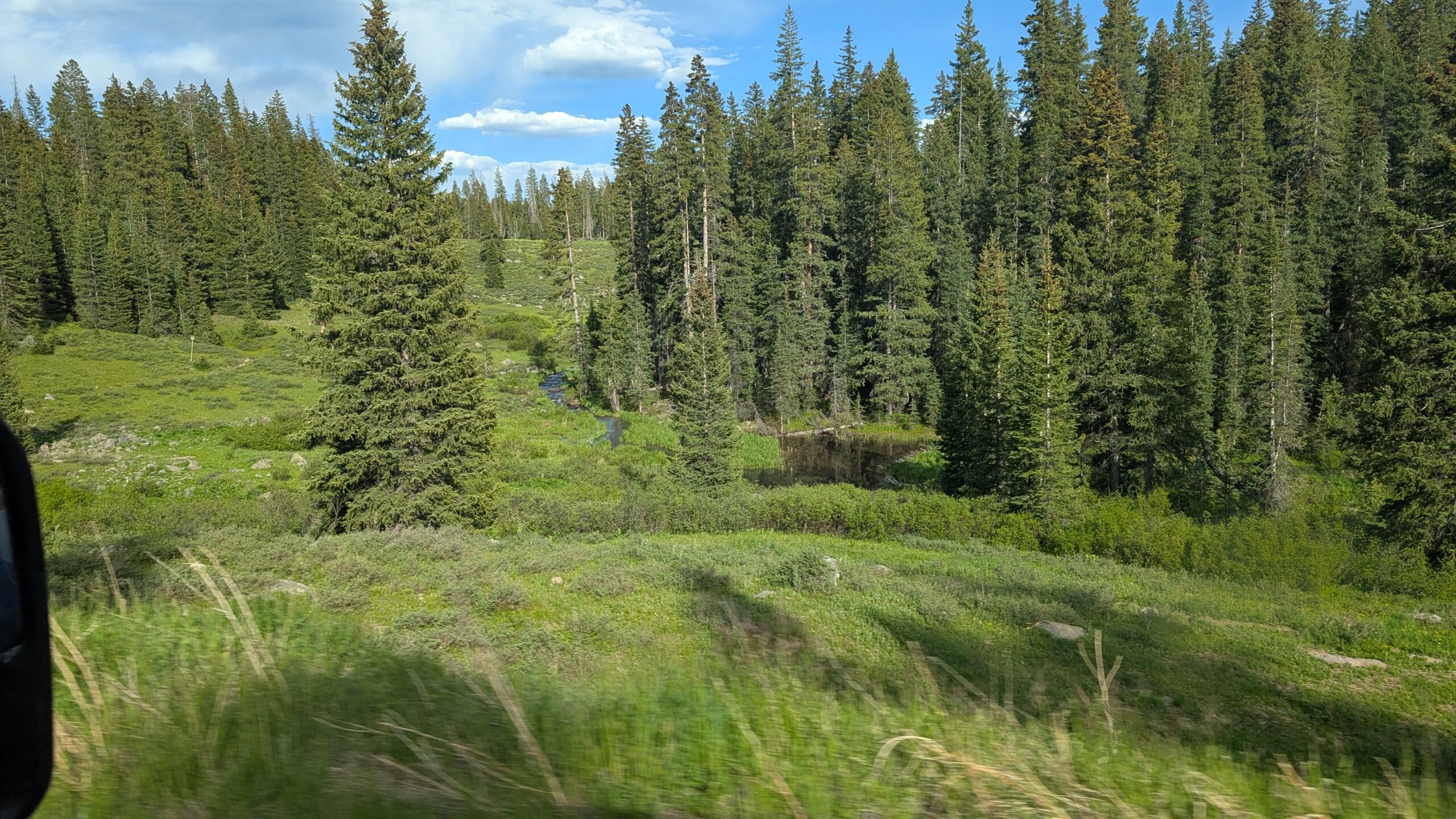
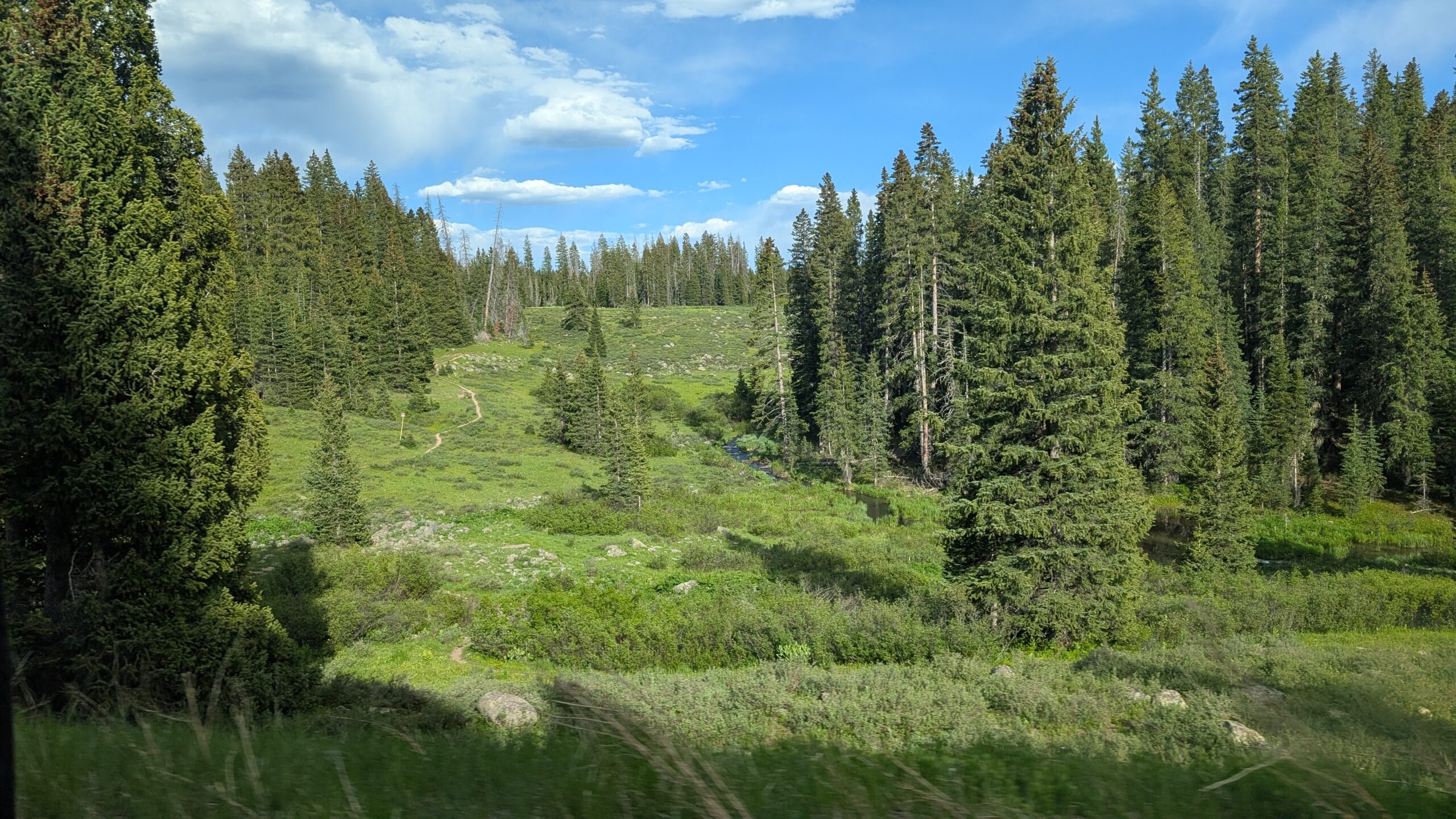
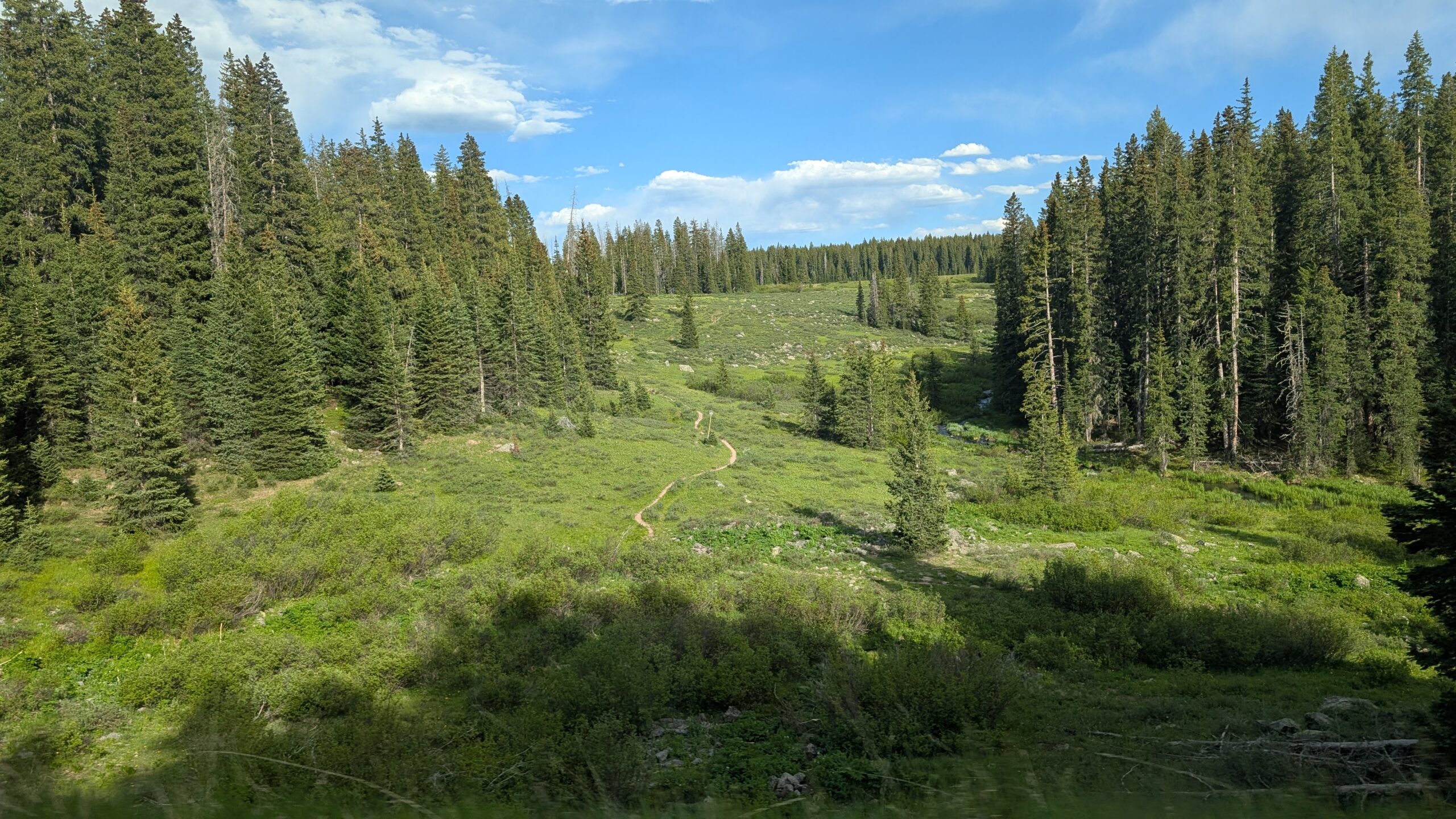
Just past the boards at the start of the trail, I saw the fist sights of the valley below the park. It struck me because we hadn’t seen anything but the plateau around the canyon since we entered the park.
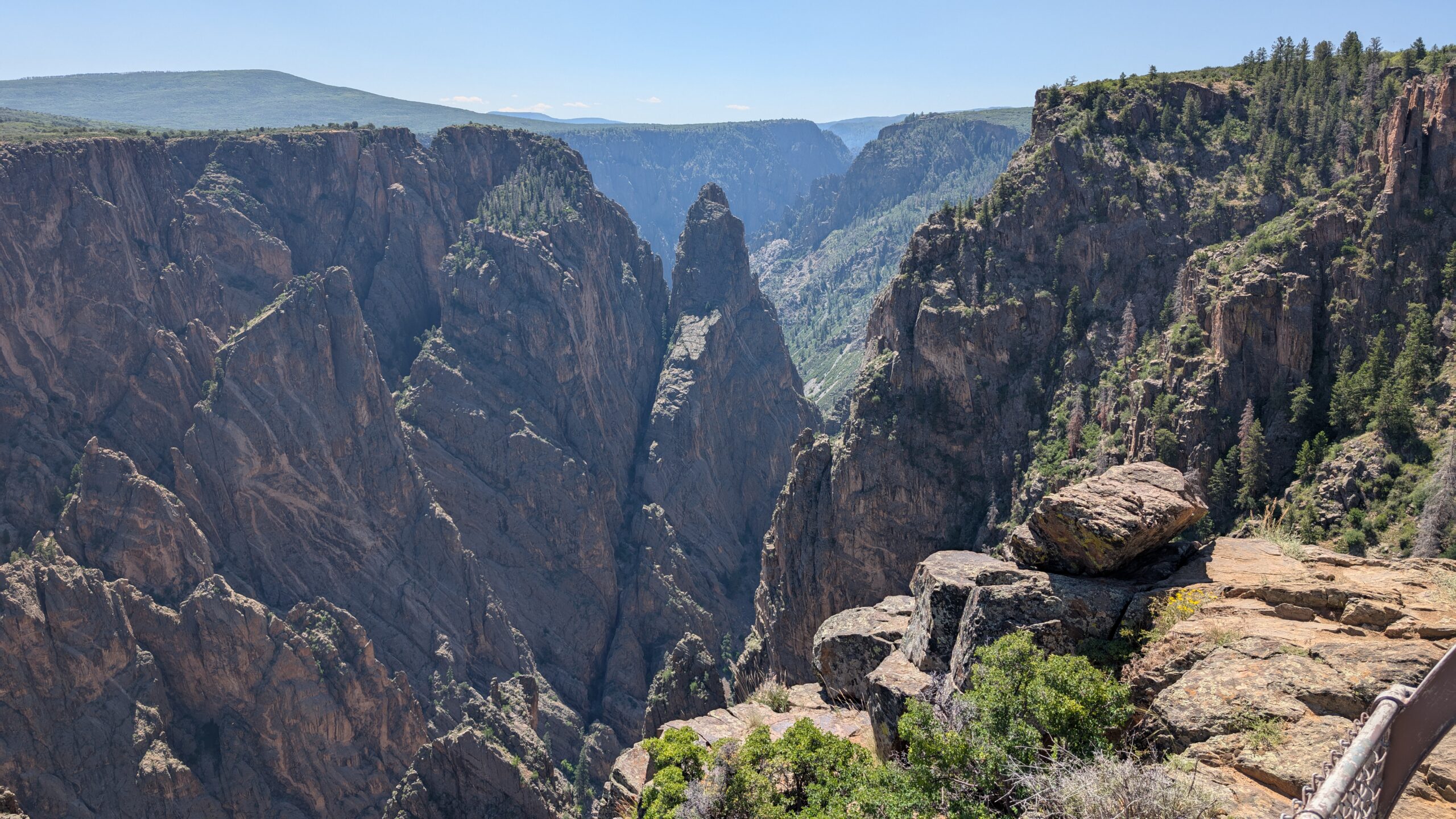
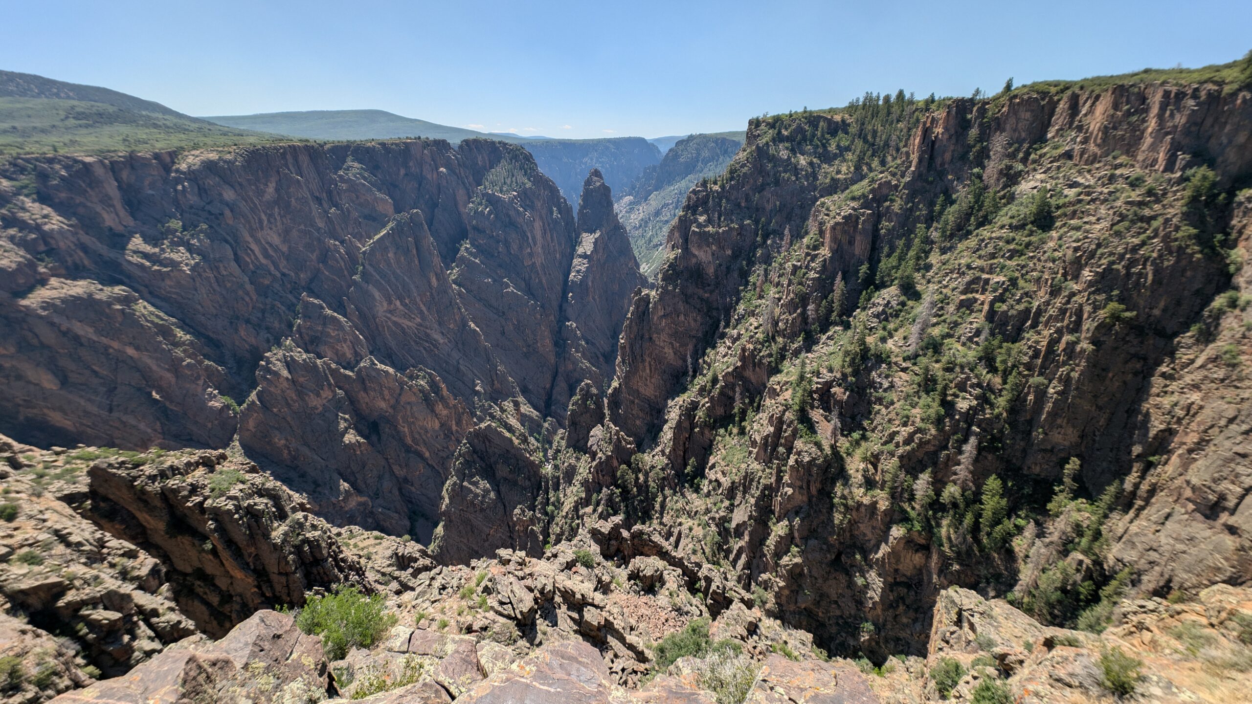
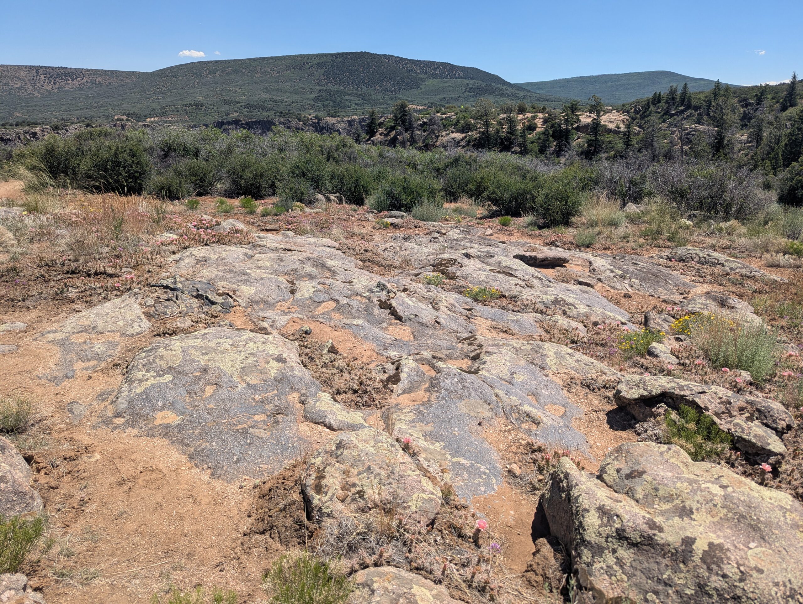
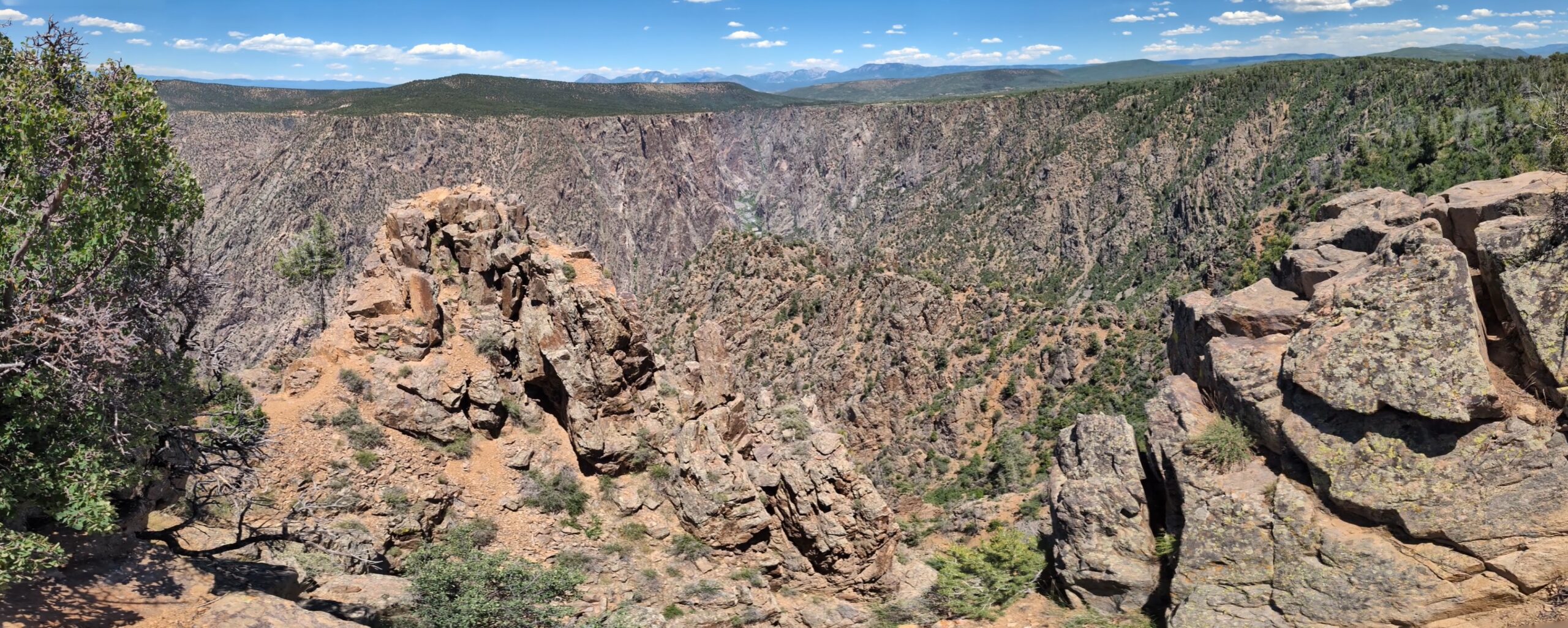
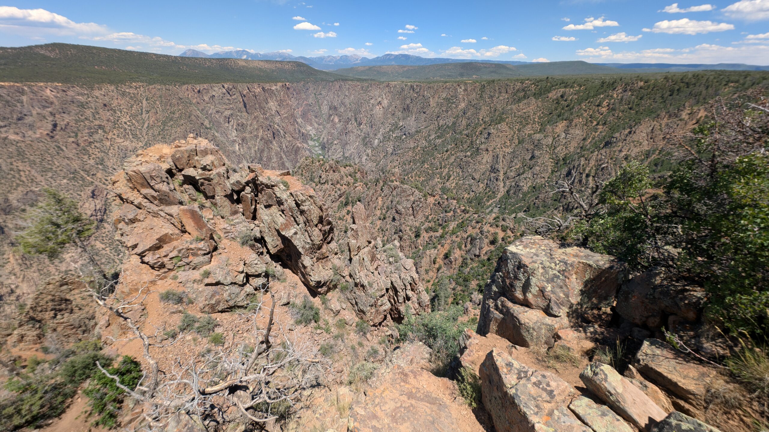
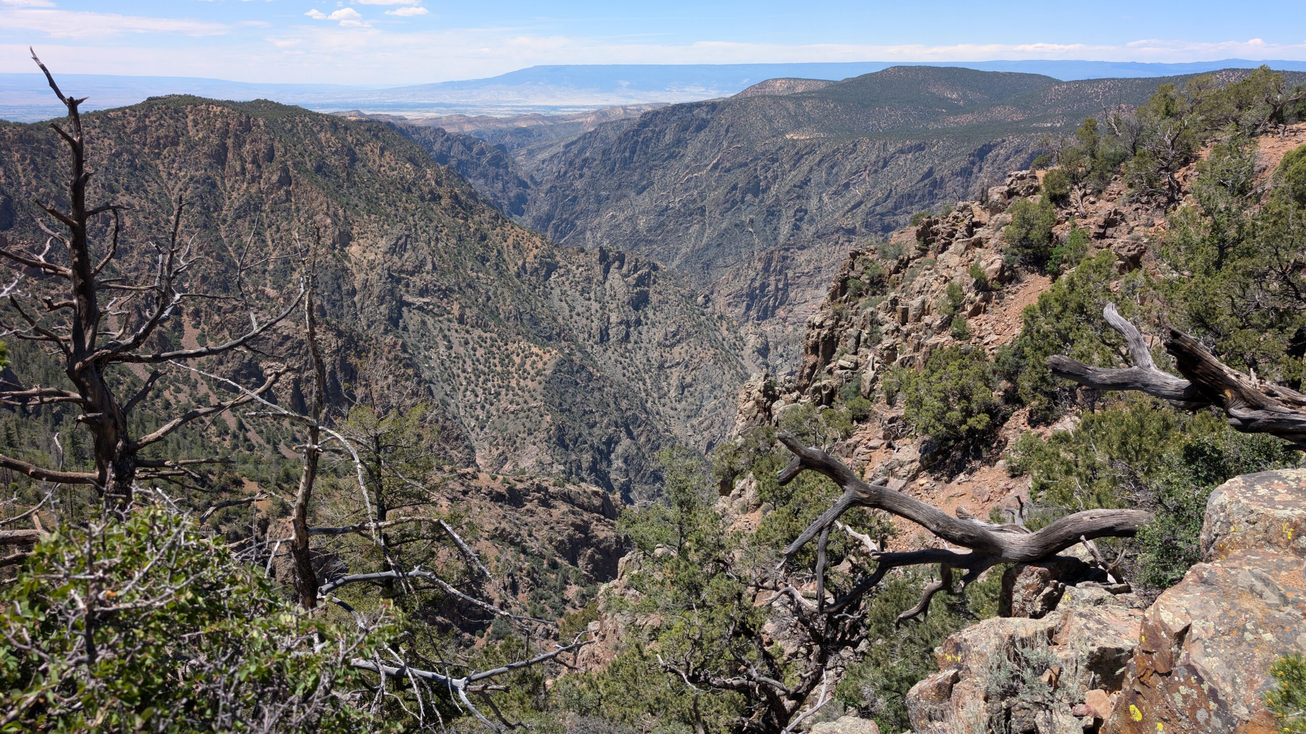
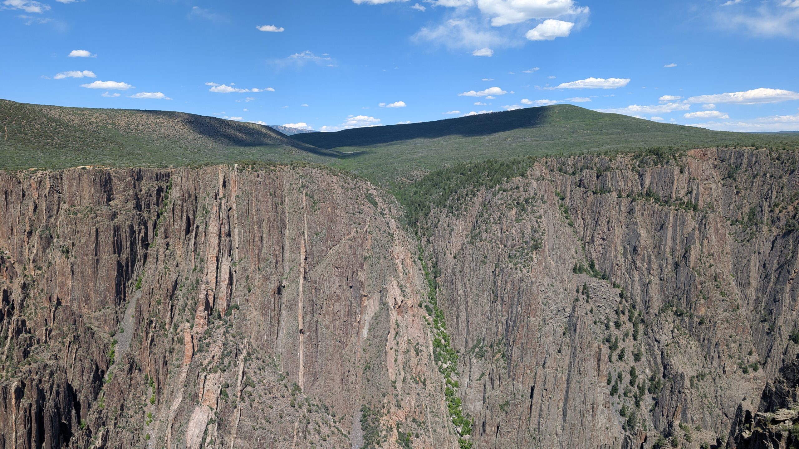
The end of the trail at Warner Point gives a view back up the canyon

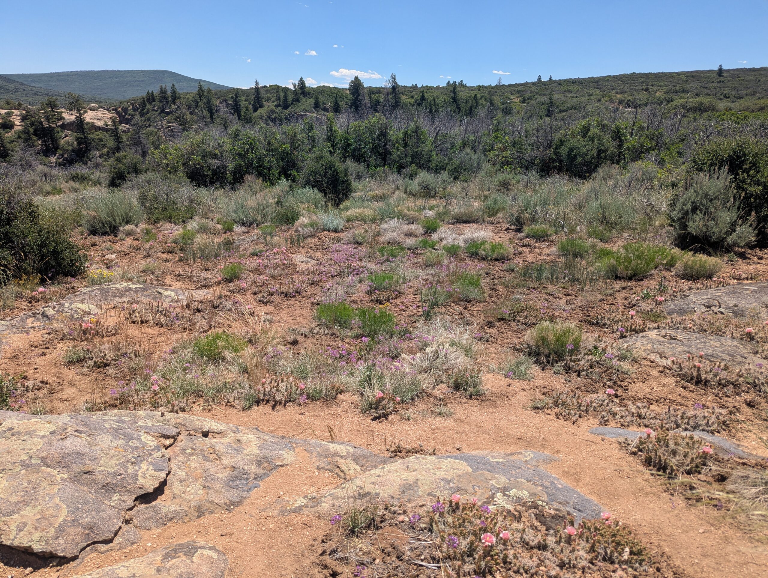
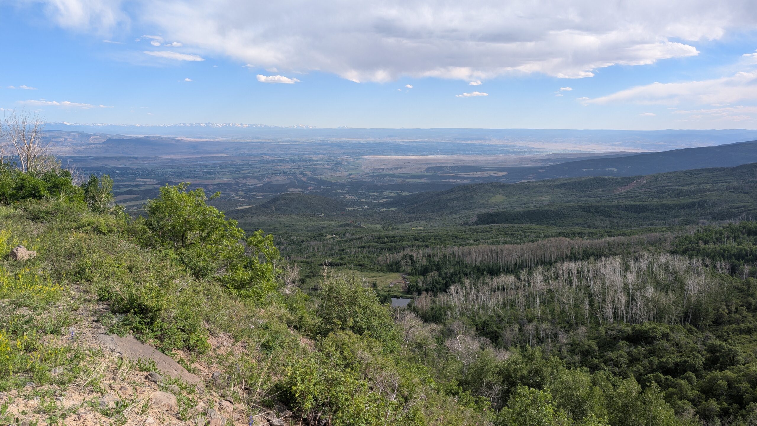
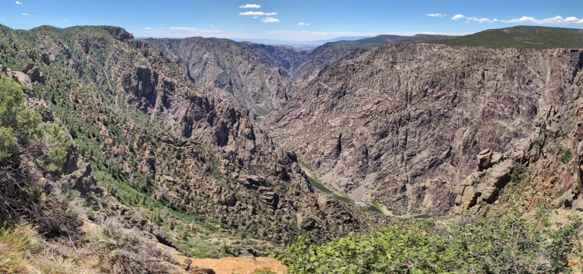
It’s very tough to make out where the canyon flows in this picture because the rock all runs together. This is a good illustration of how perspective is very hard to grasp in this place, even when looking at it in person. There was also a great view down toward the end of the canyon, which is the featured image at the top of this post. On my way back, I caught a good glimpse of the valley from a different angle, where the shale hills looked like sand dunes.
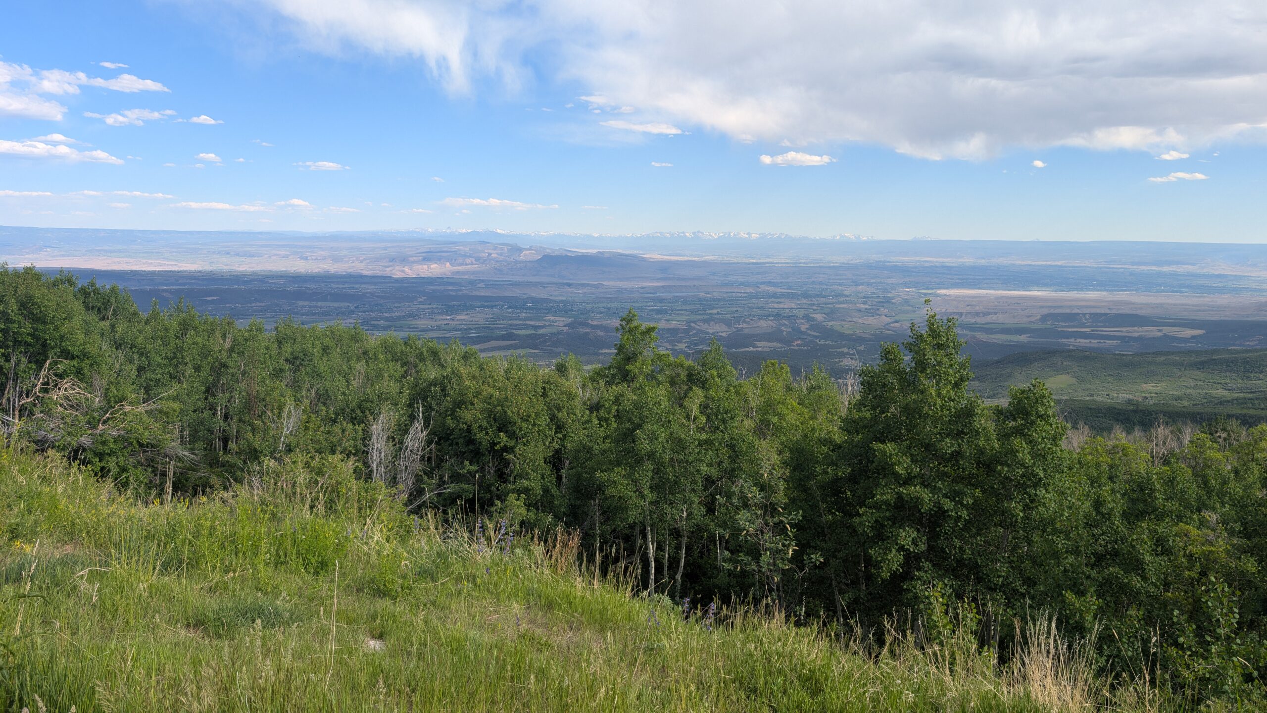
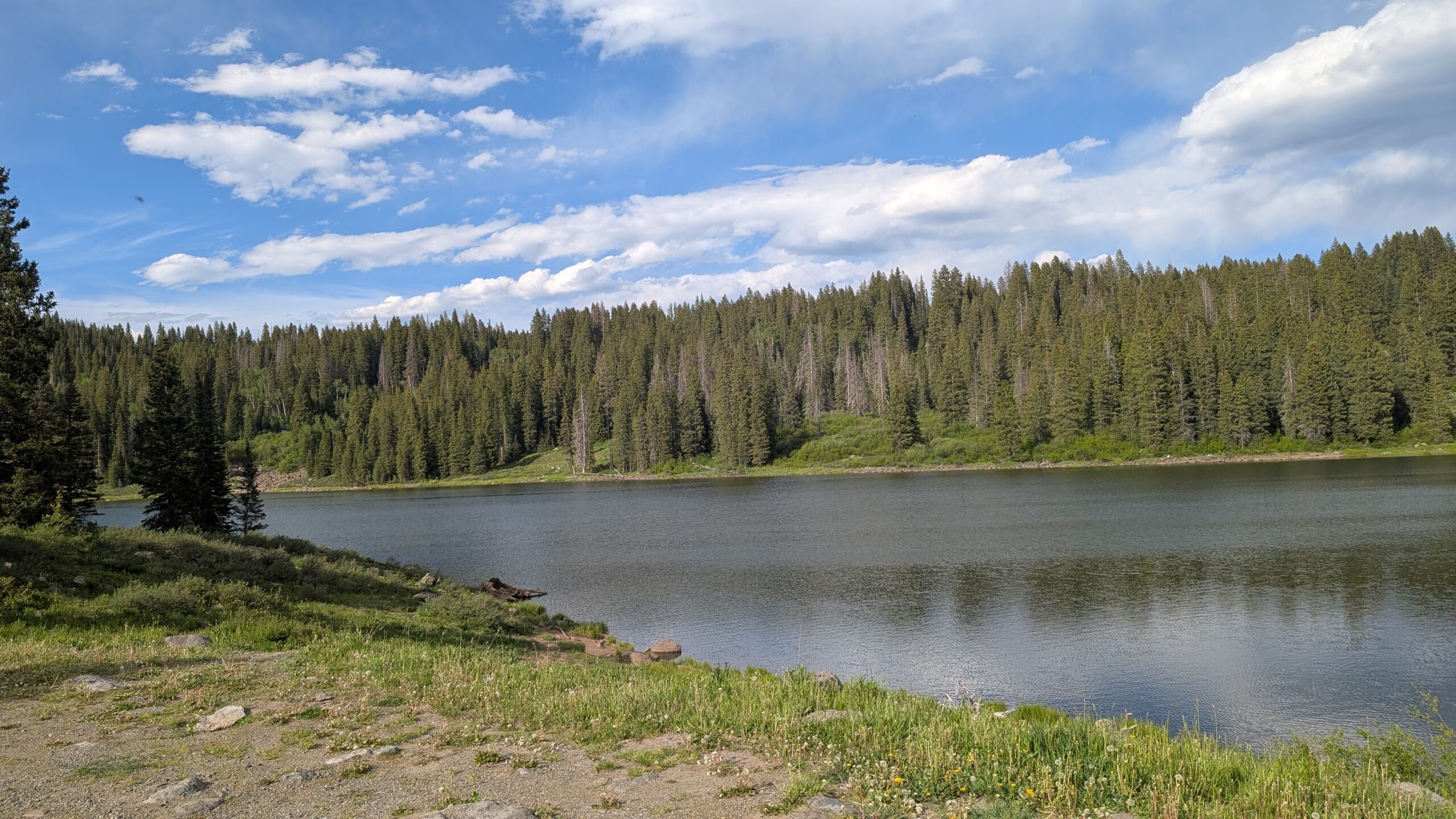
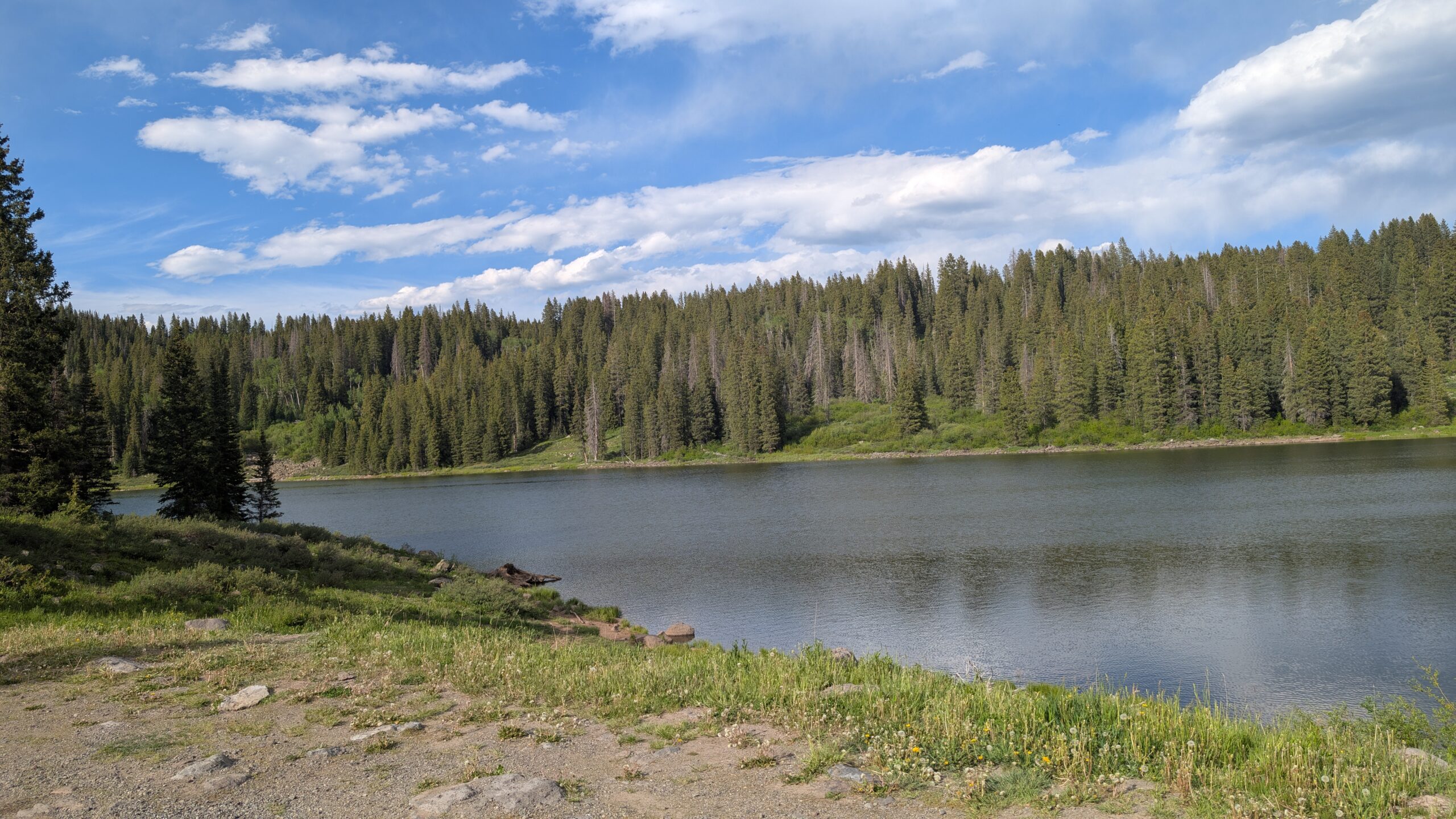
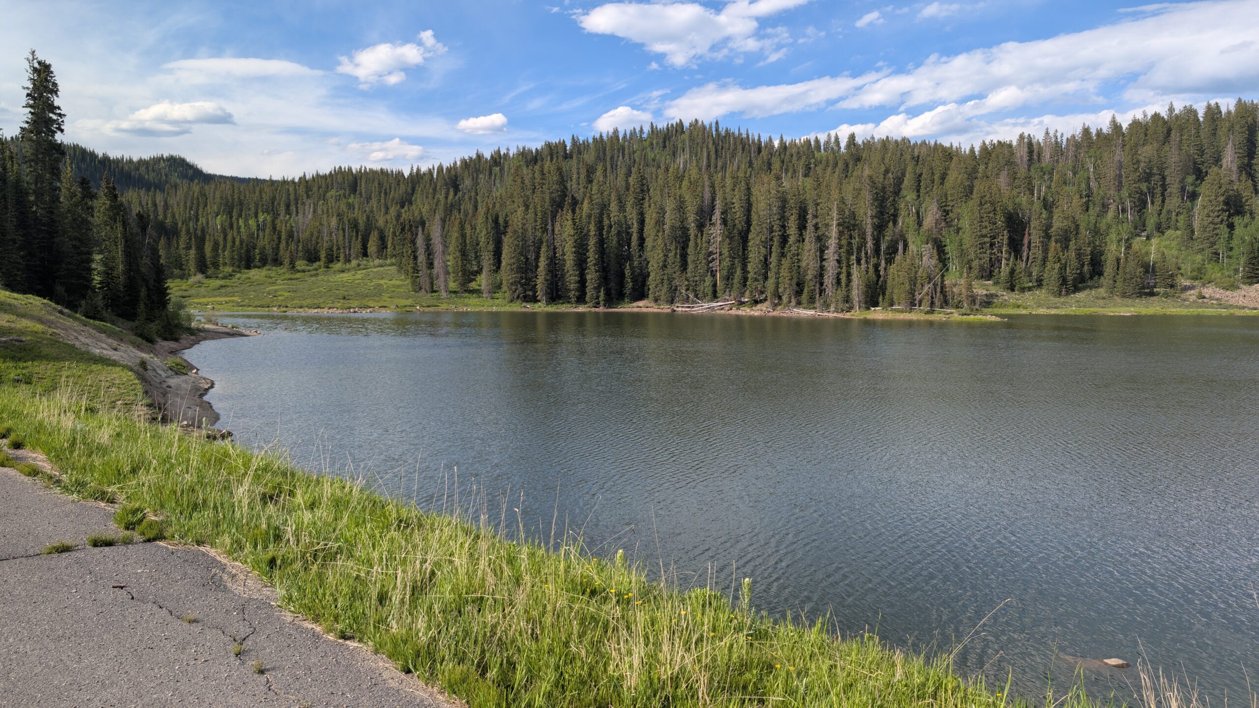
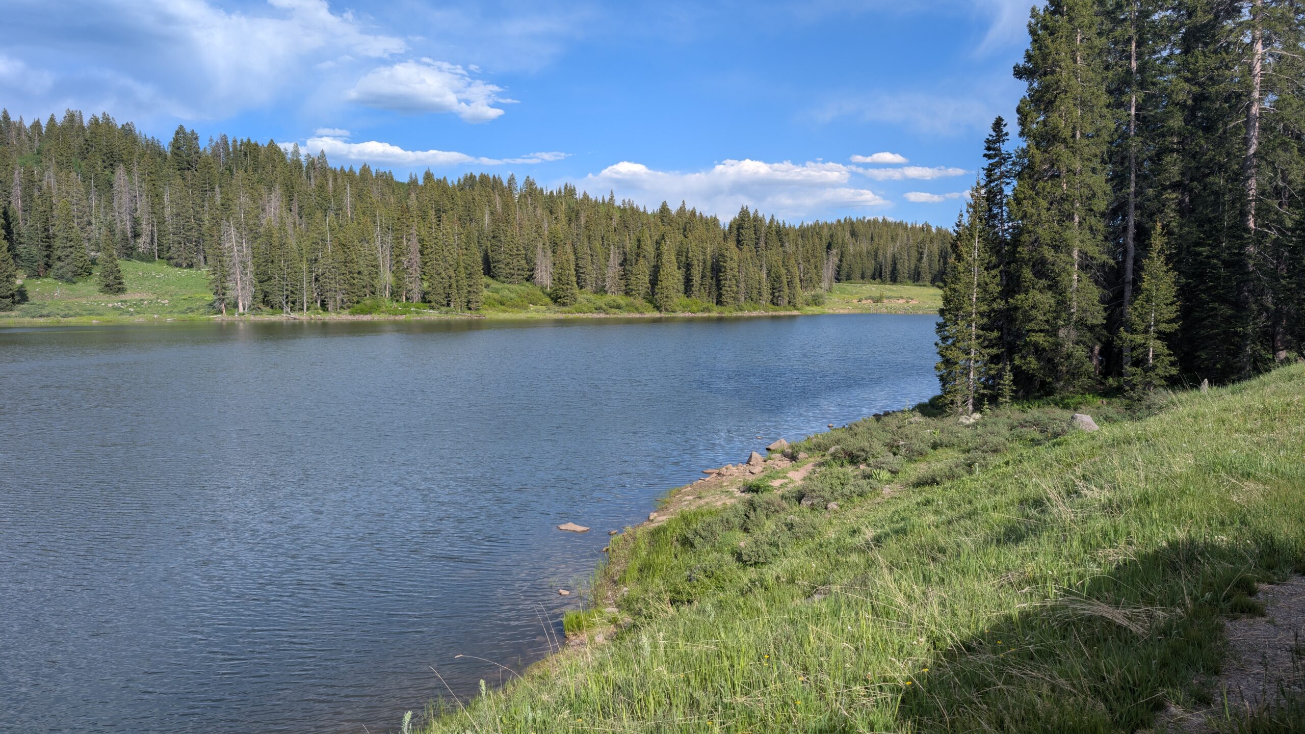
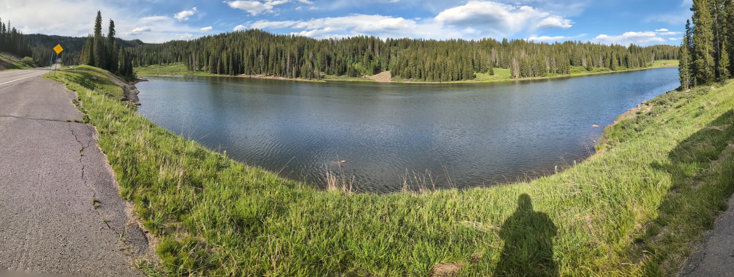
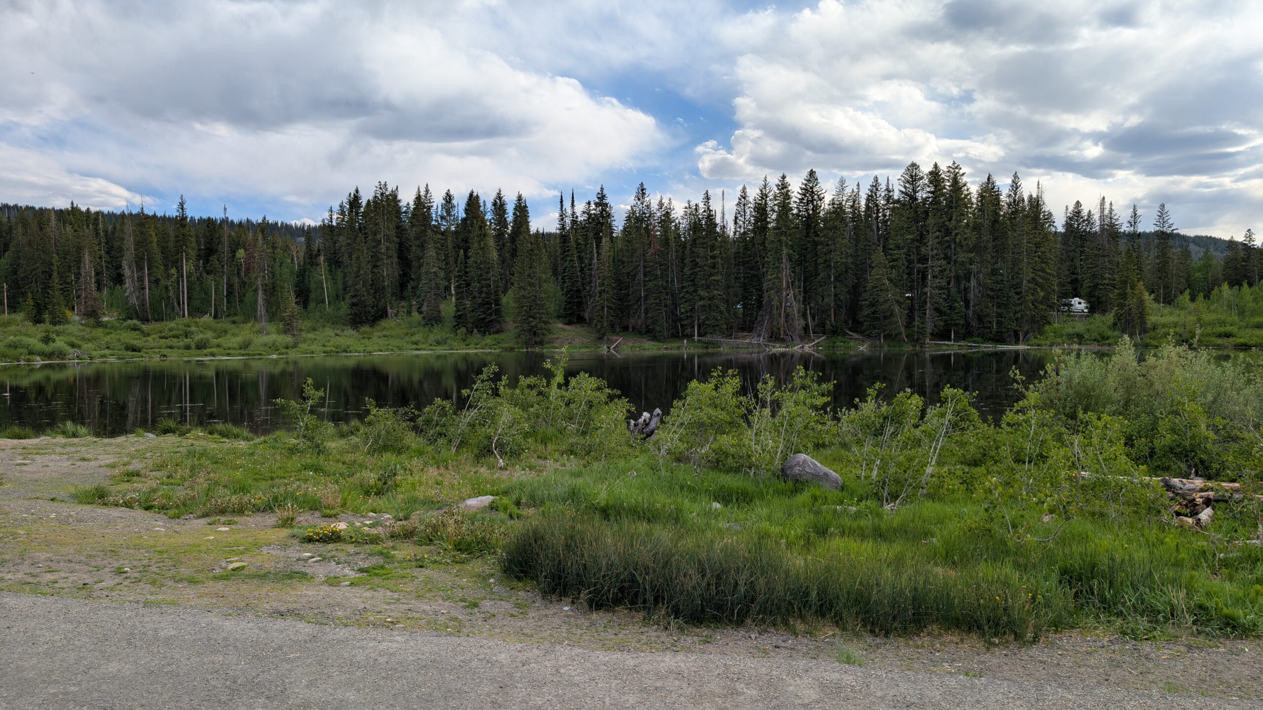
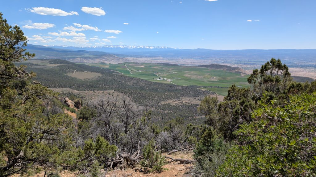
The drive through Grand Mesa was beautiful. I love the views of the valley, as seen in the photo I included in Megan’s post above, but I hold alpine lake pics near and dear.

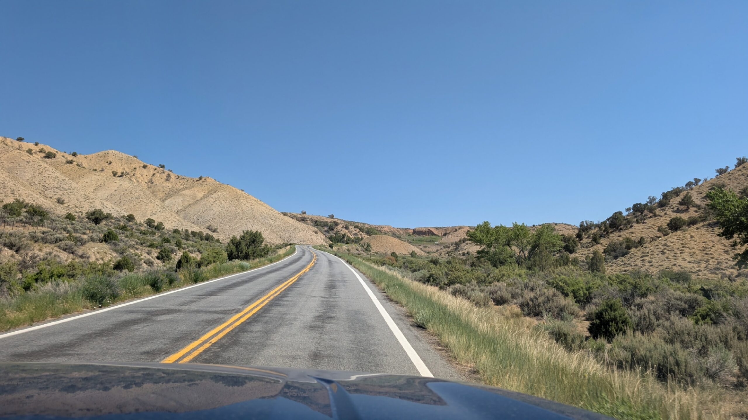
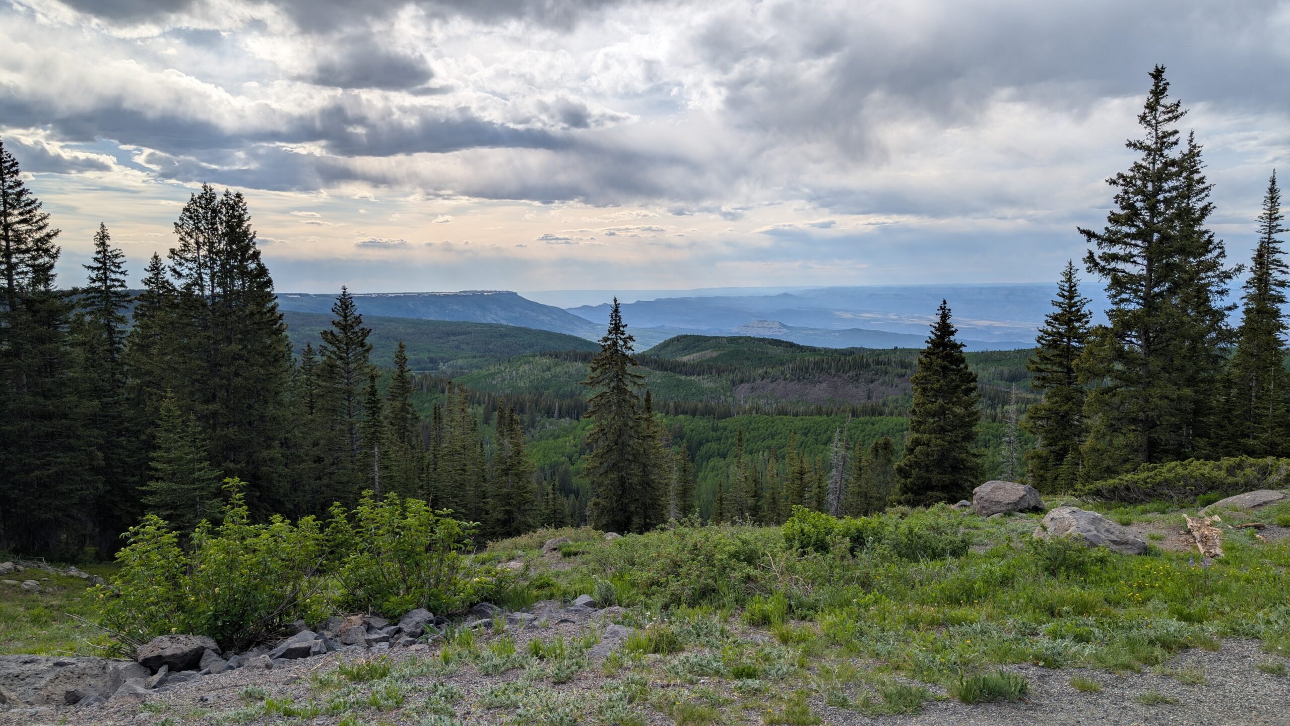
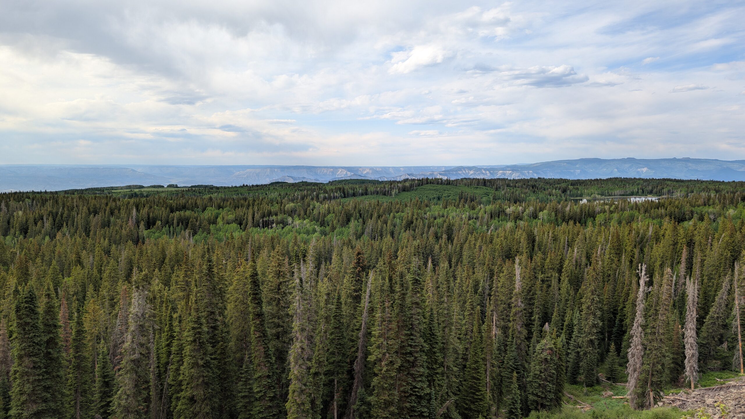
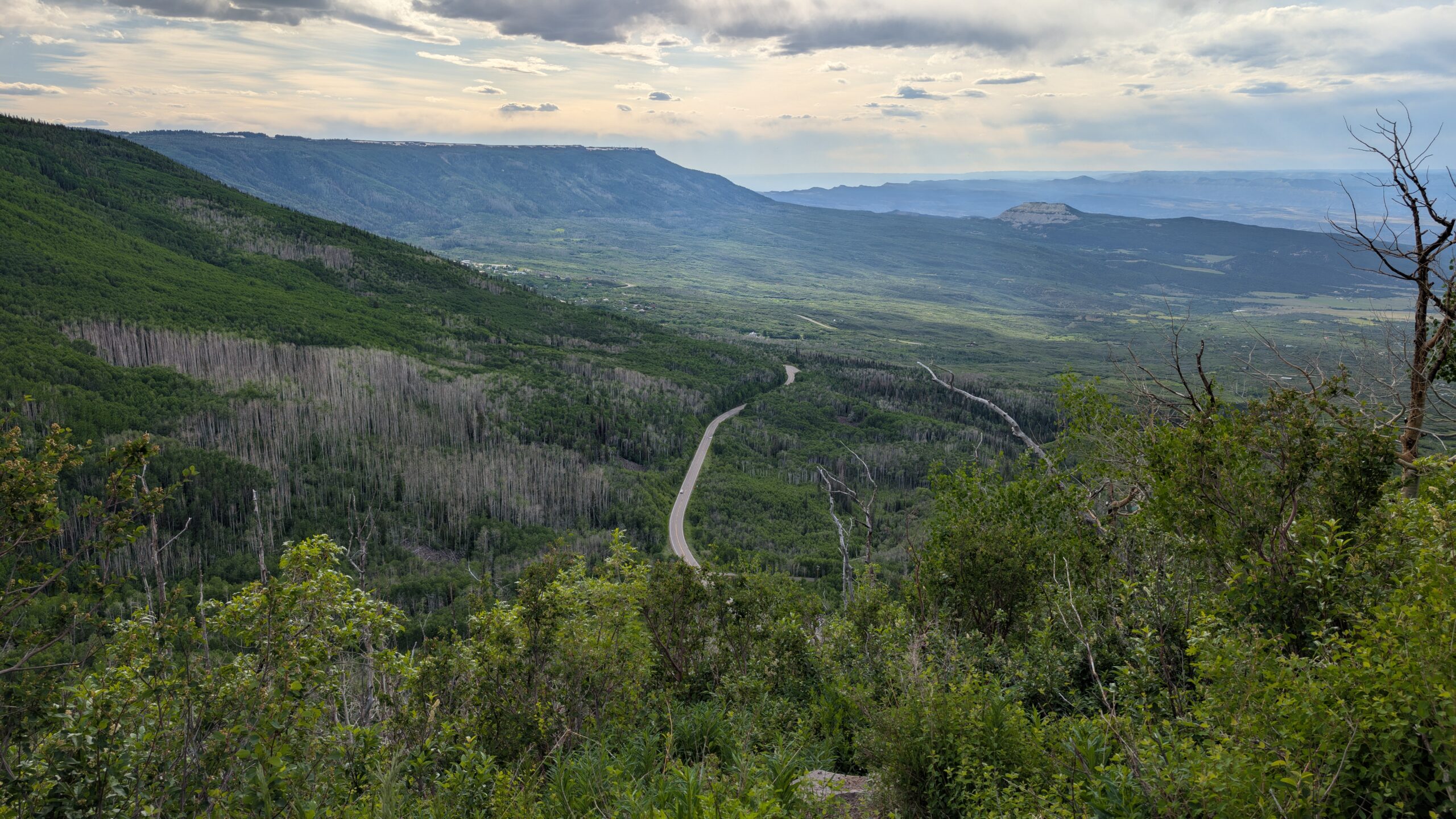
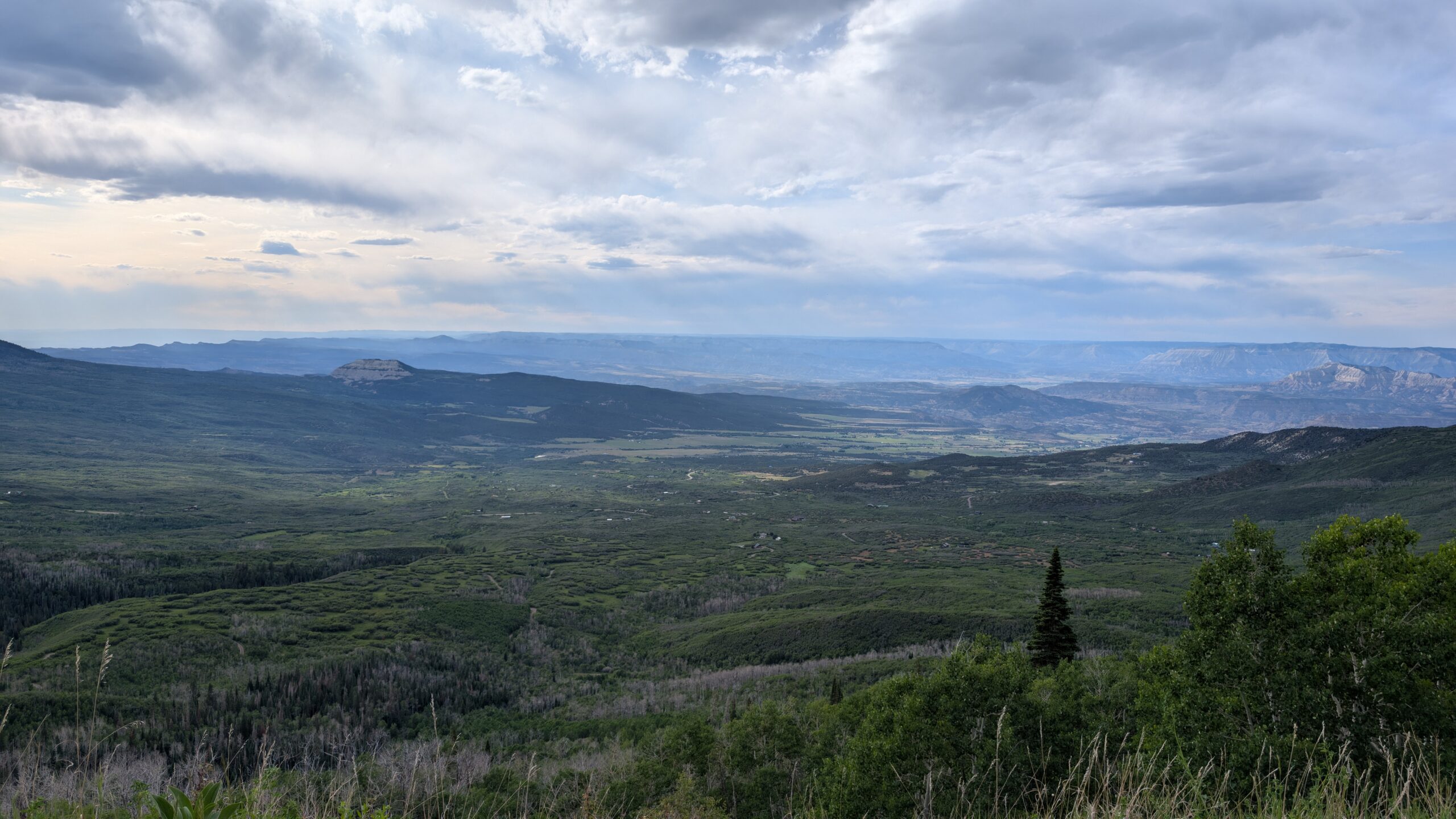
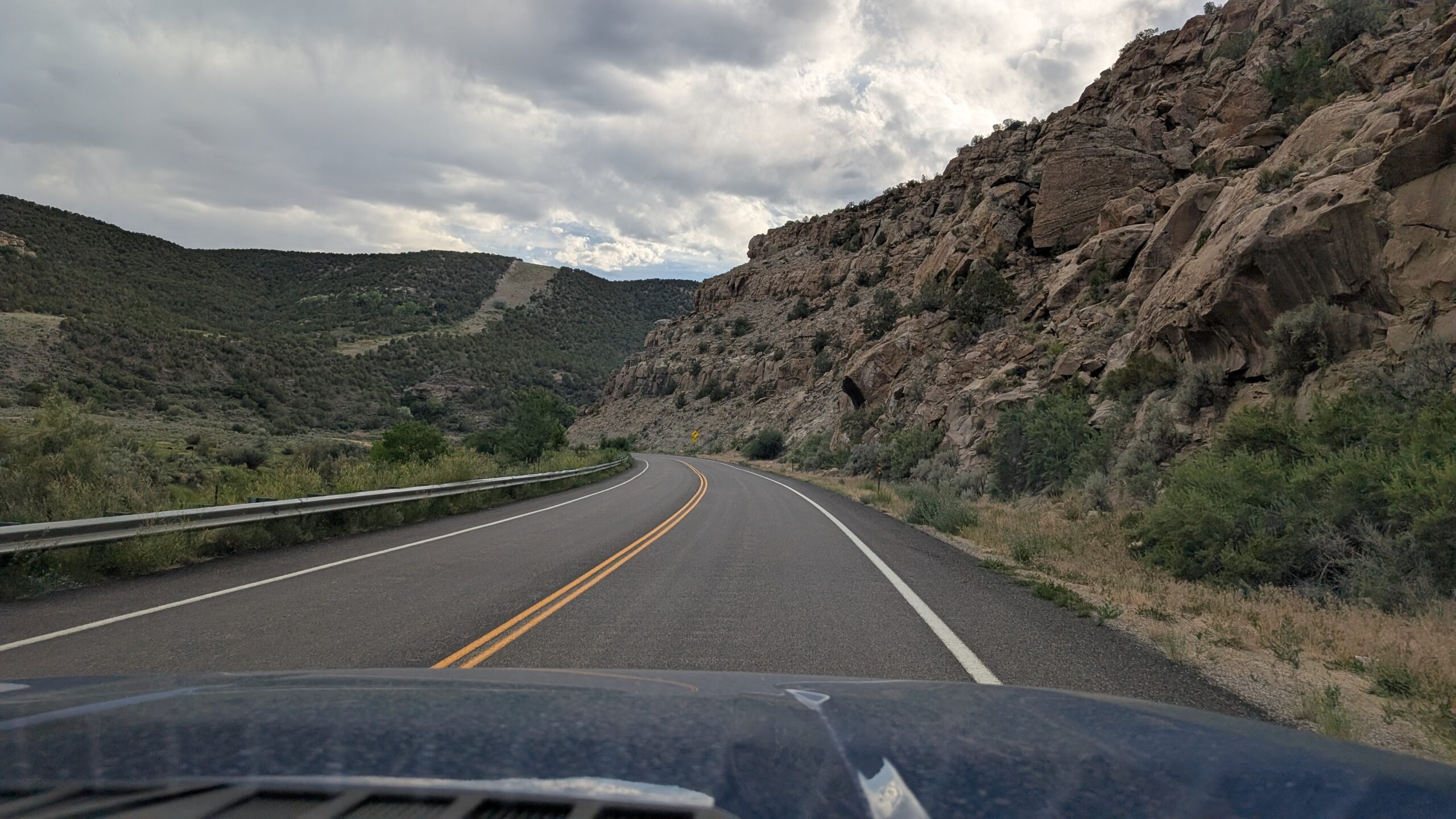
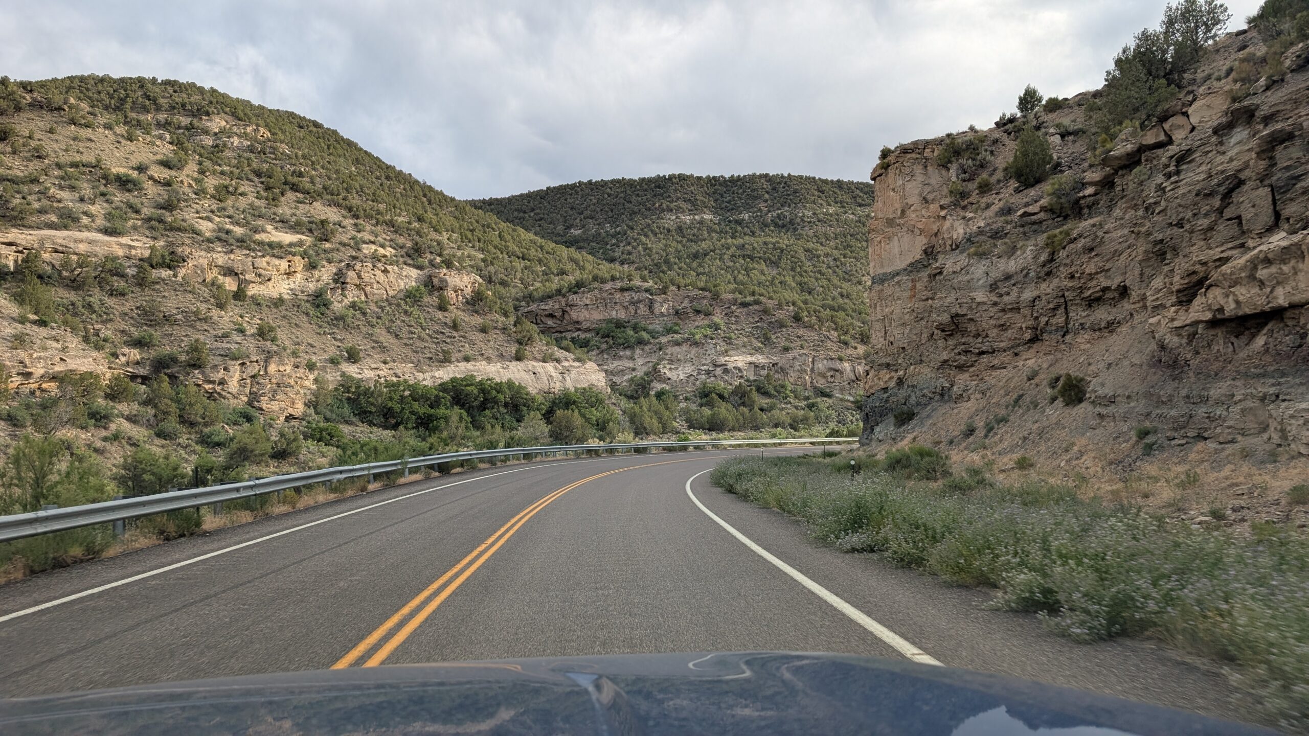
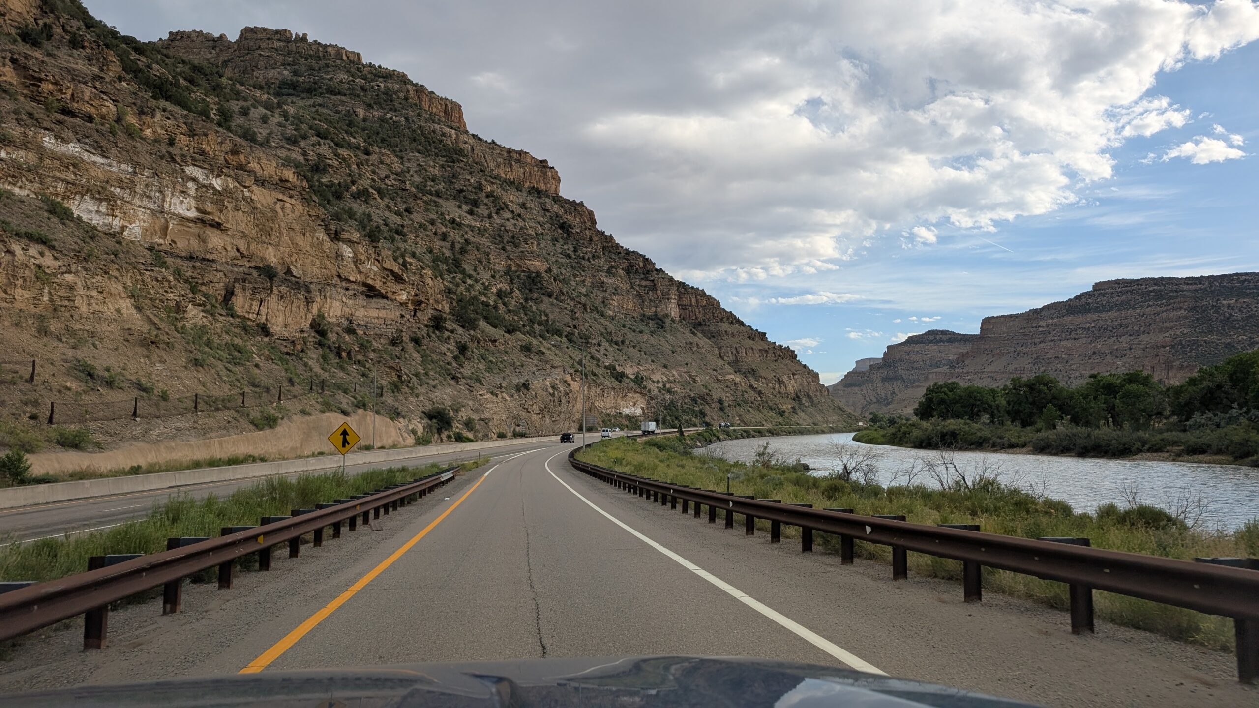
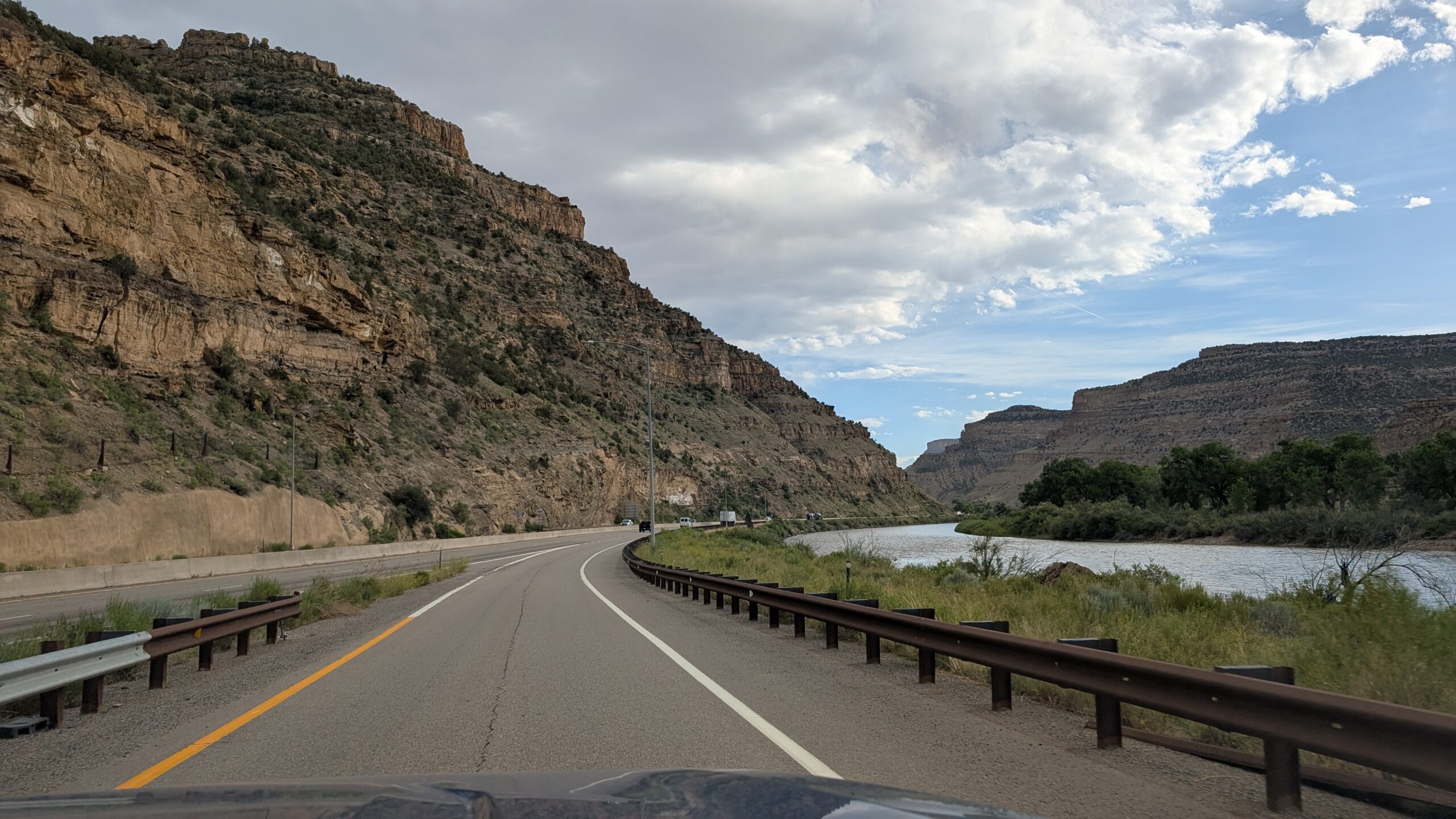
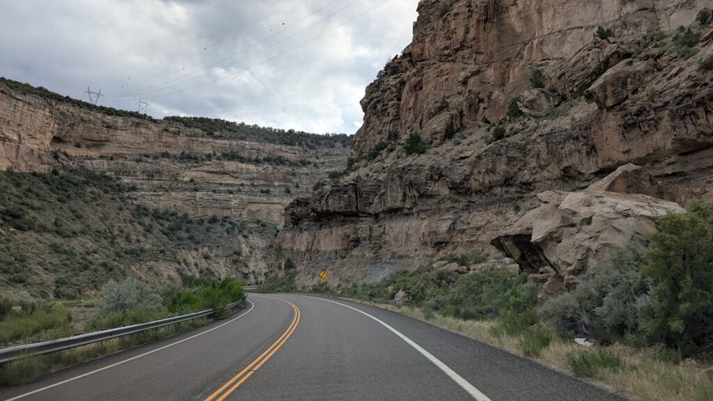
I also can’t overstate the beauty of the canyon we drove through on our way back down into the valley where Grand Junction is located. This is very reminiscent of other drives along rivers we’ve done, like the one outside Arches along the Colorado River. Still very beautiful in its own right.
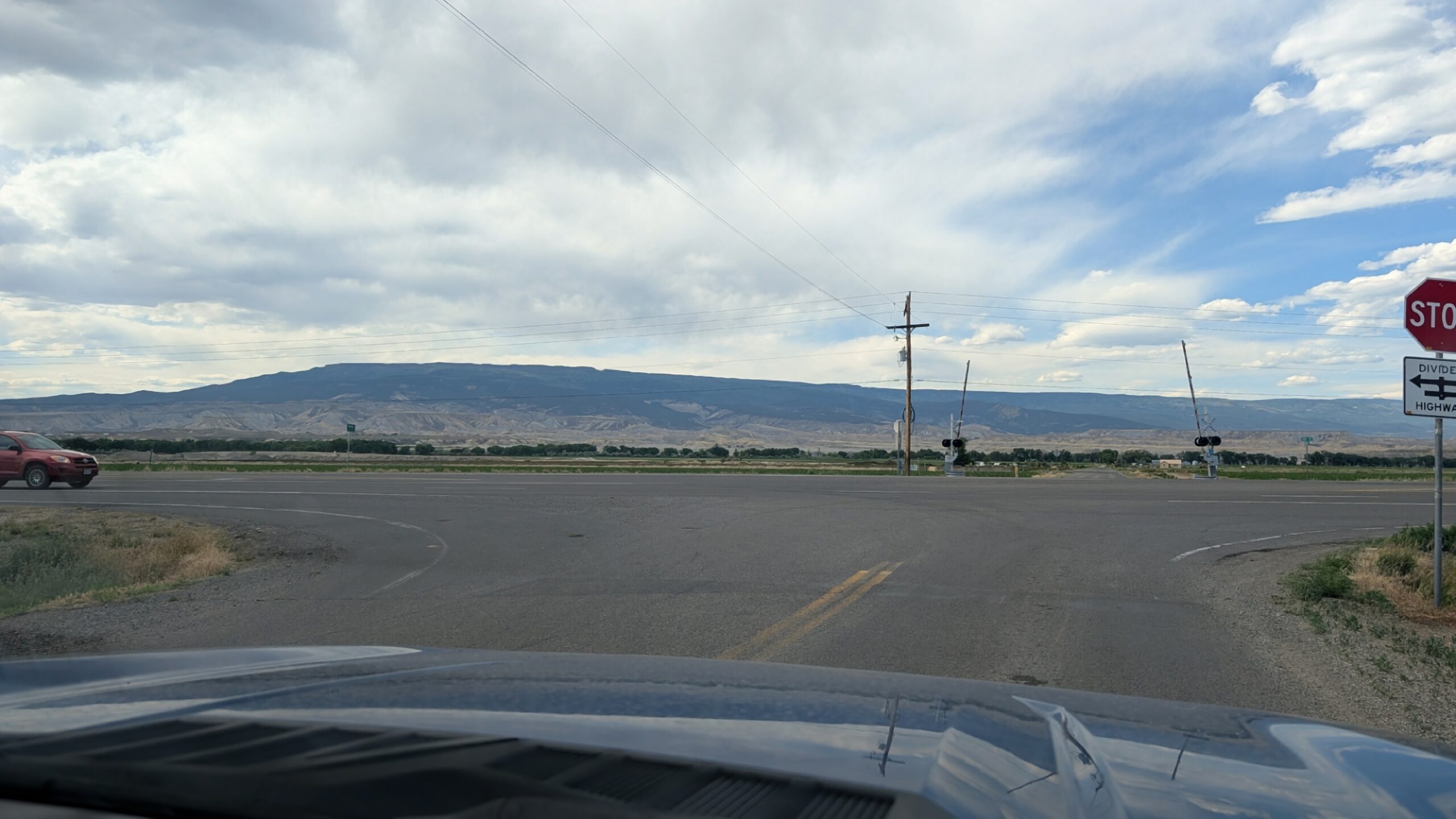
I still can’t believe we get shots this good with a phone camera going 50mph down the road through a windshield with tons of bug guts. I’m very glad they’re there though, because we’ve caught so much good stuff on our drives.
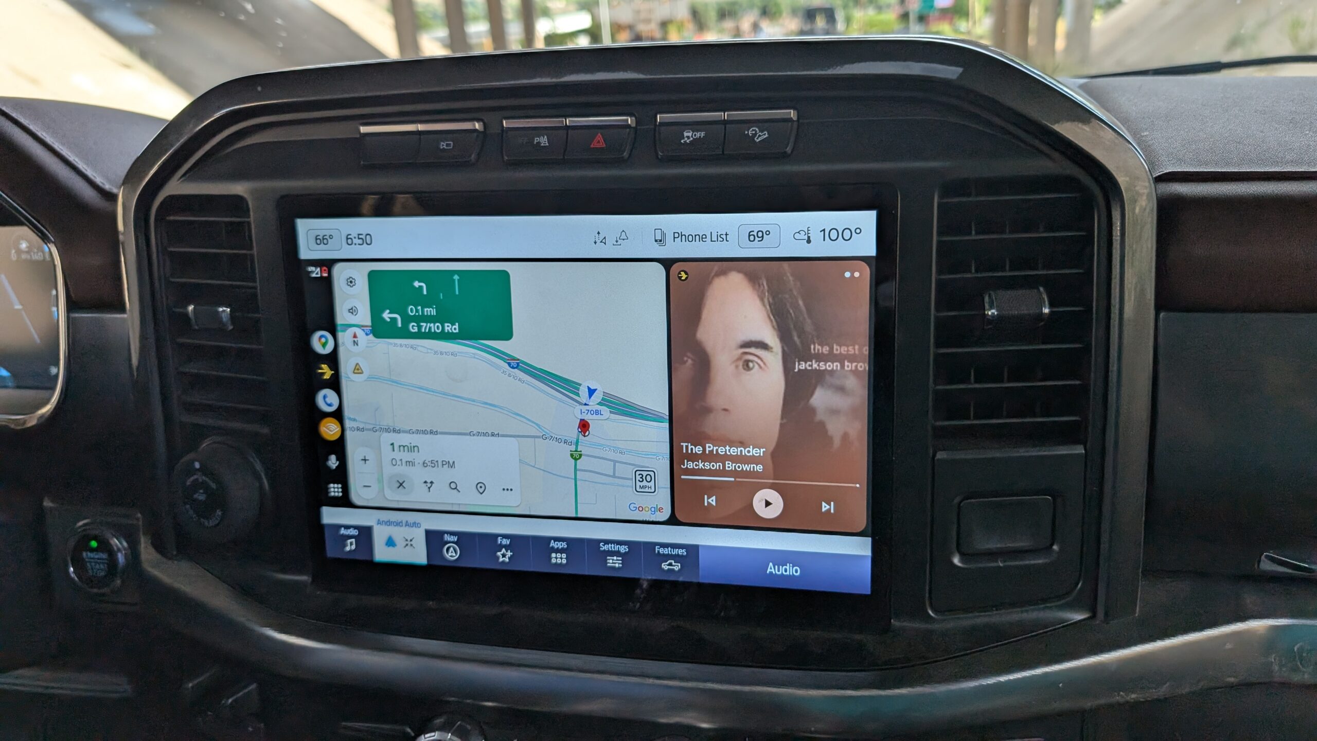
By the time we reached the bottom of the valley, it was HOT. Here’s proof of it being 100 degrees at nearly 7PM.

The remaining pictures from the day can be seen in the gallery below.