
Megan’s Take
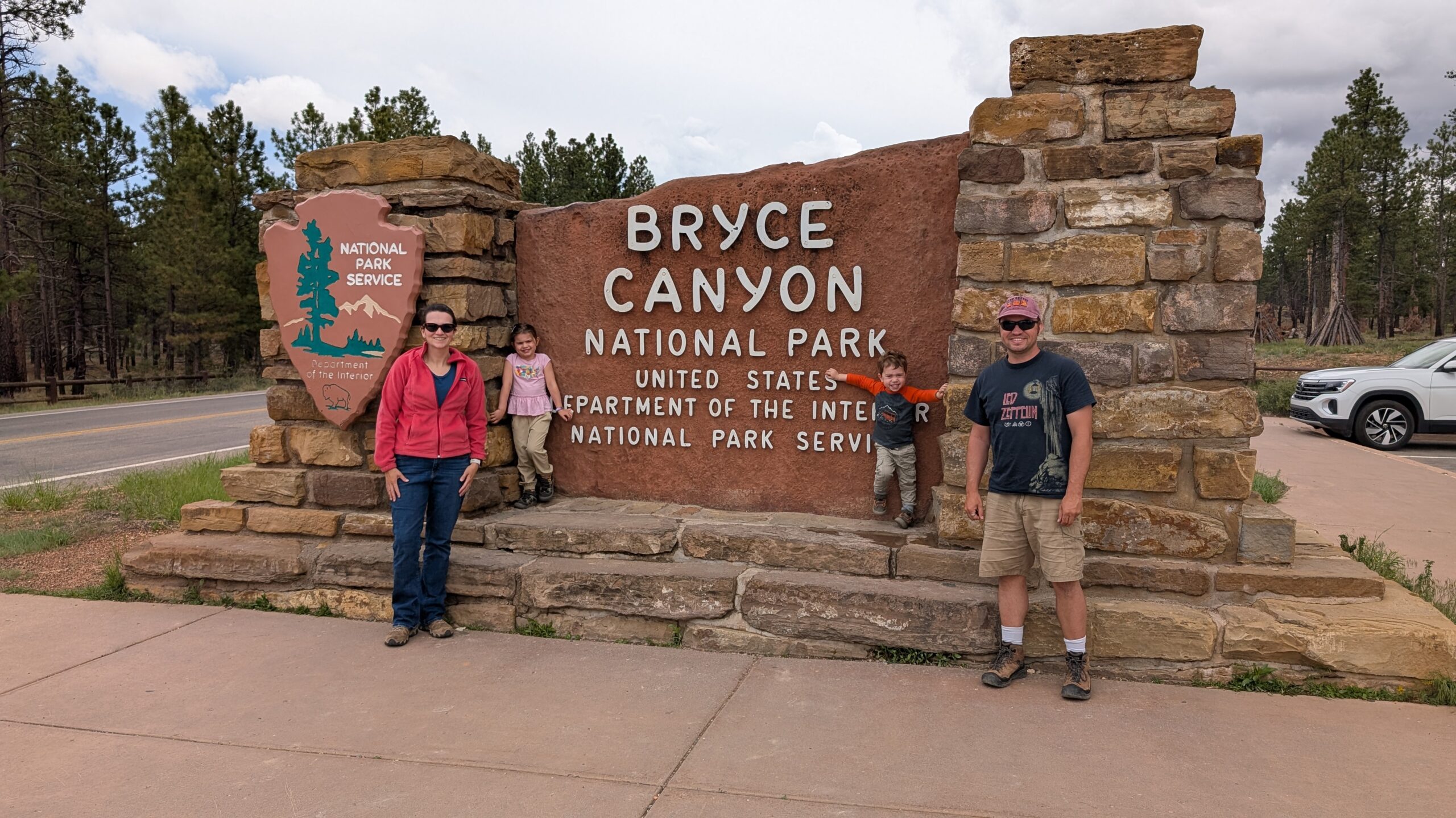
Today we said goodbye to the Hurricane/Zion area and headed northeast to Bryce UT. It was difficult to make solid plans for the day, because the threat of thunderstorms loomed all afternoon on my weather app. BUT it actually cleared, and we had blue skies and sunshine most of the day.
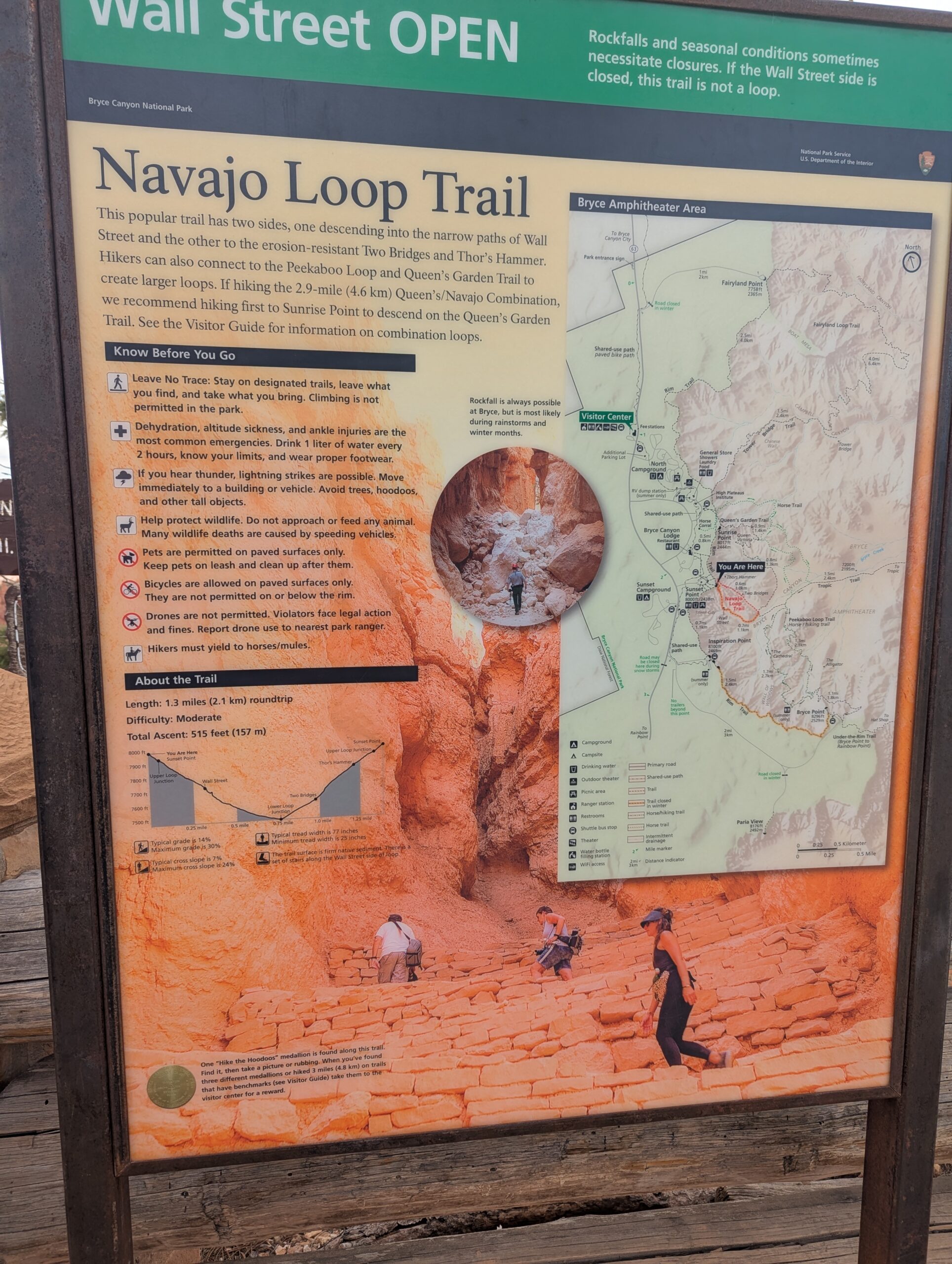
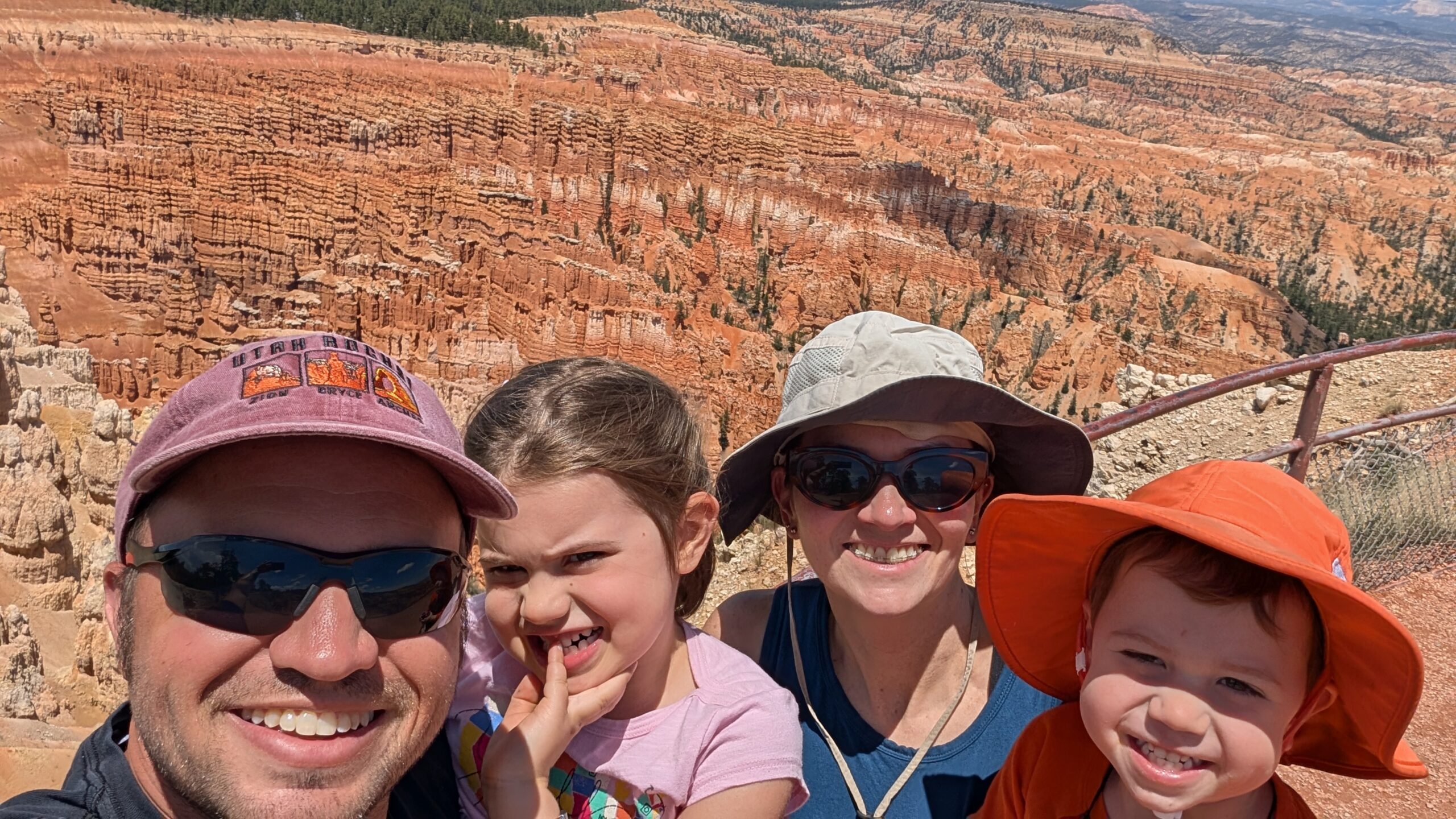
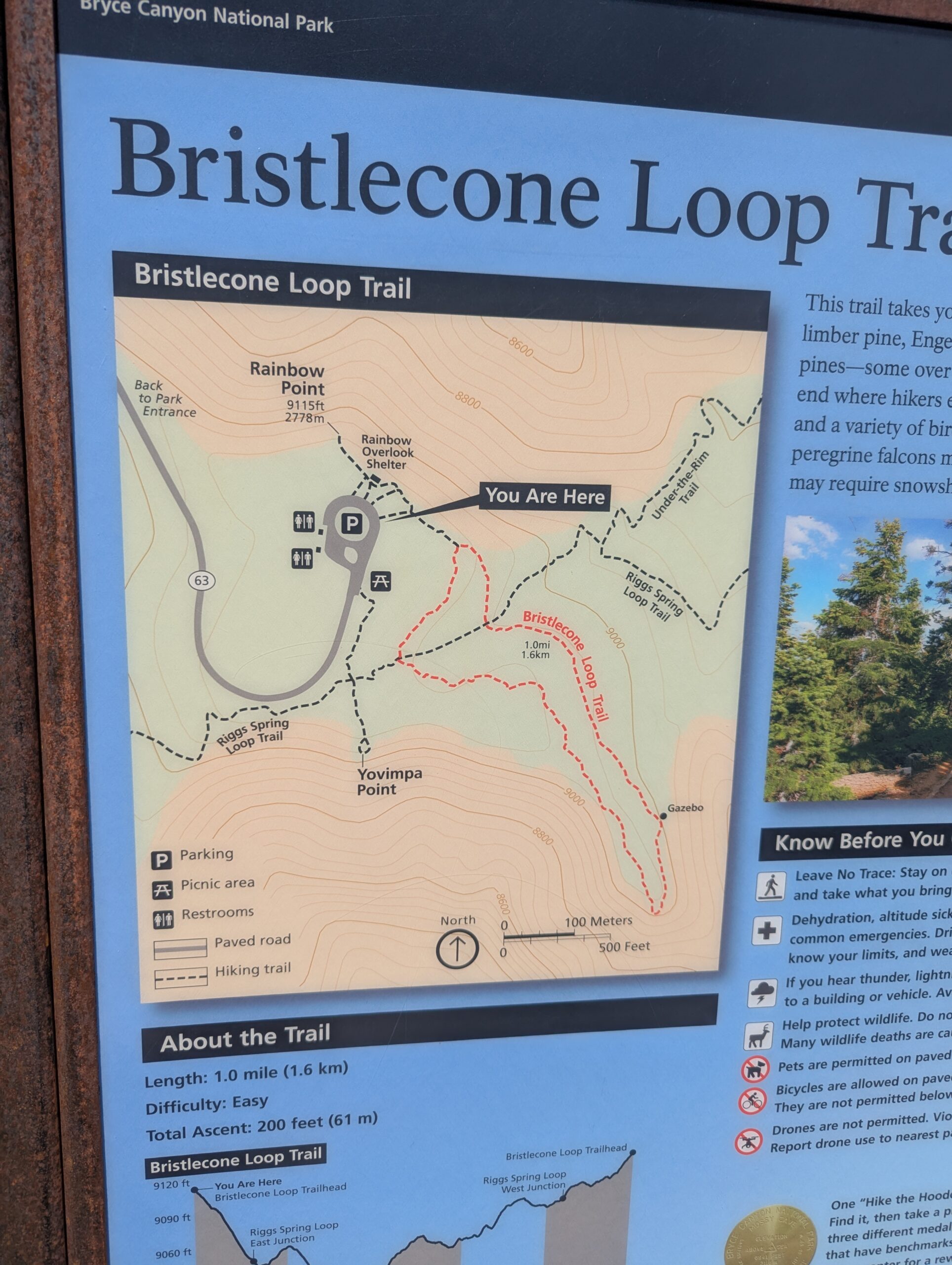
We settled our camper at Ruby’s Inn RV Park and toured Bryce Canyon National Park all afternoon. We did the 18 mile scenic drive, stopping at all the overlooks, and hiked 1 mile Bristlecone trail. The hoodoos and geology of the area are really interesting. We’re planning a hike first thing in the morning down into the Bryce amphitheater where we can walk among the hoodoos and get an up close view.
Phil’s Take
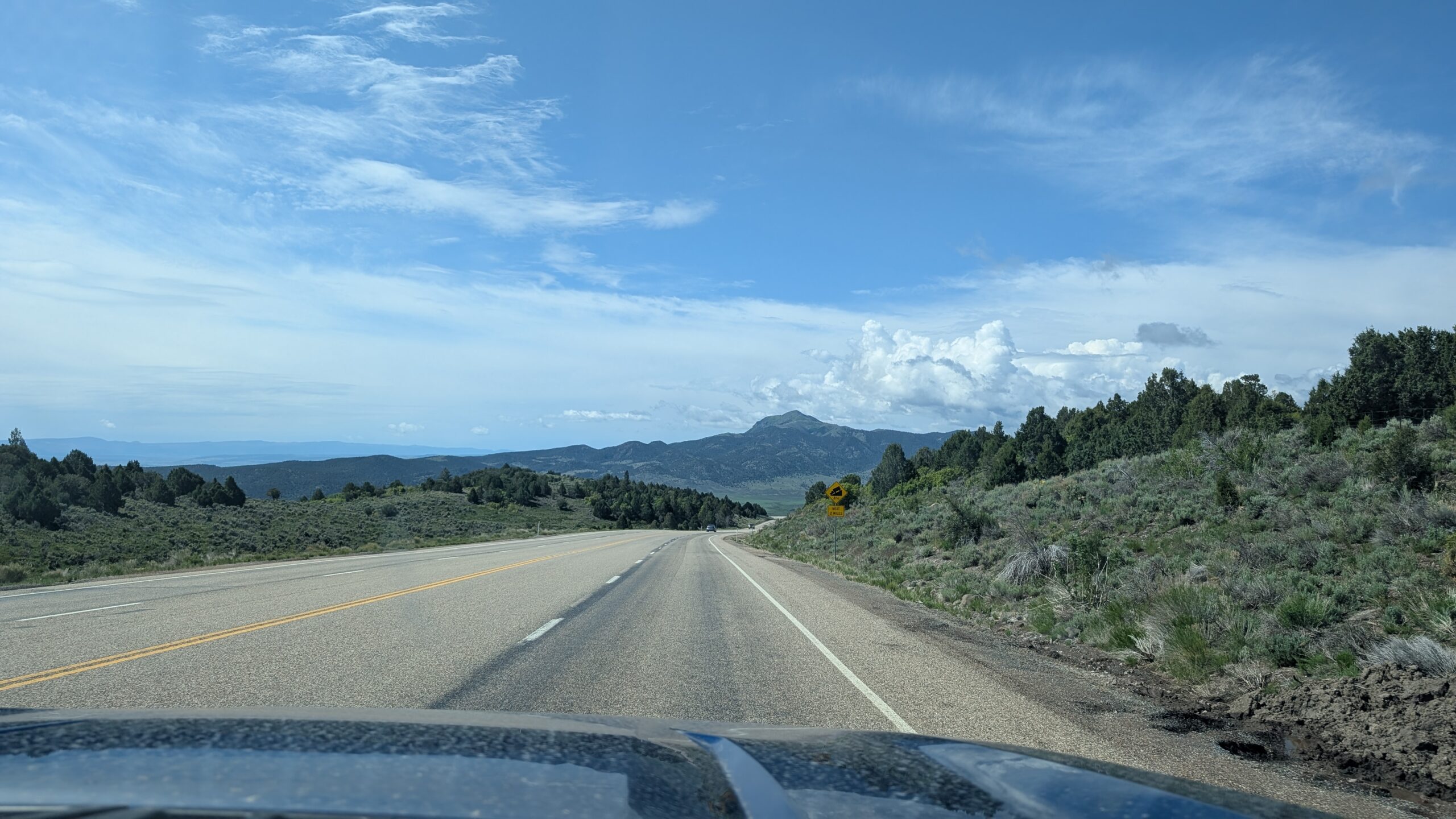
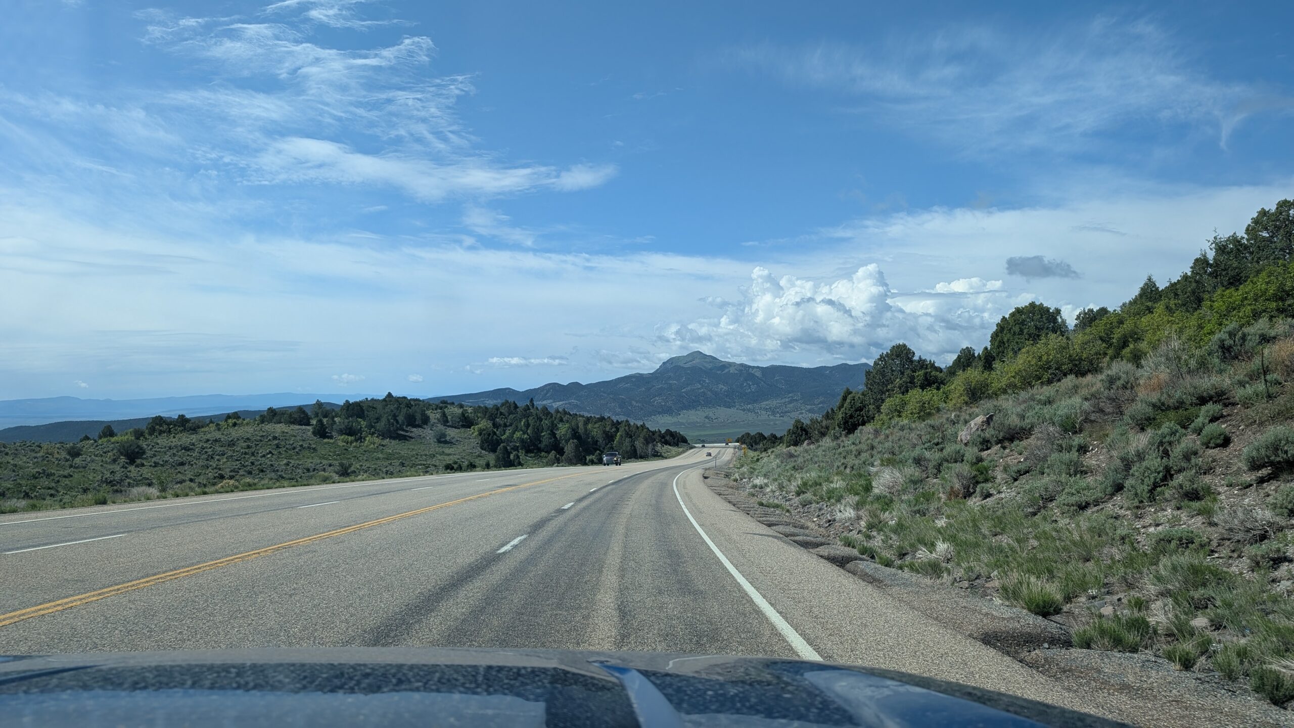
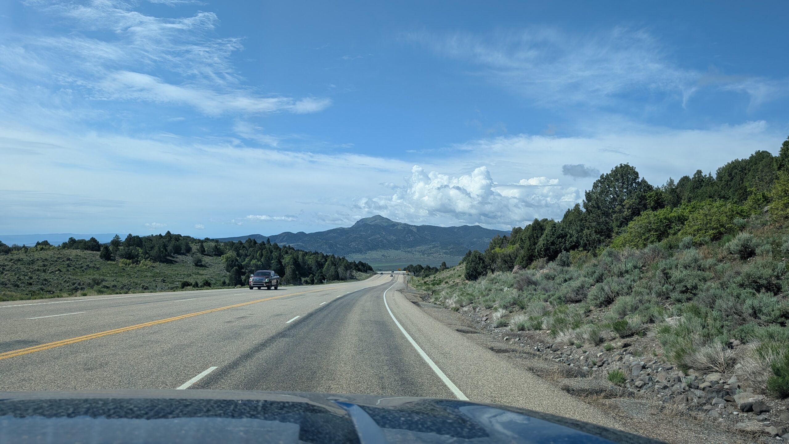
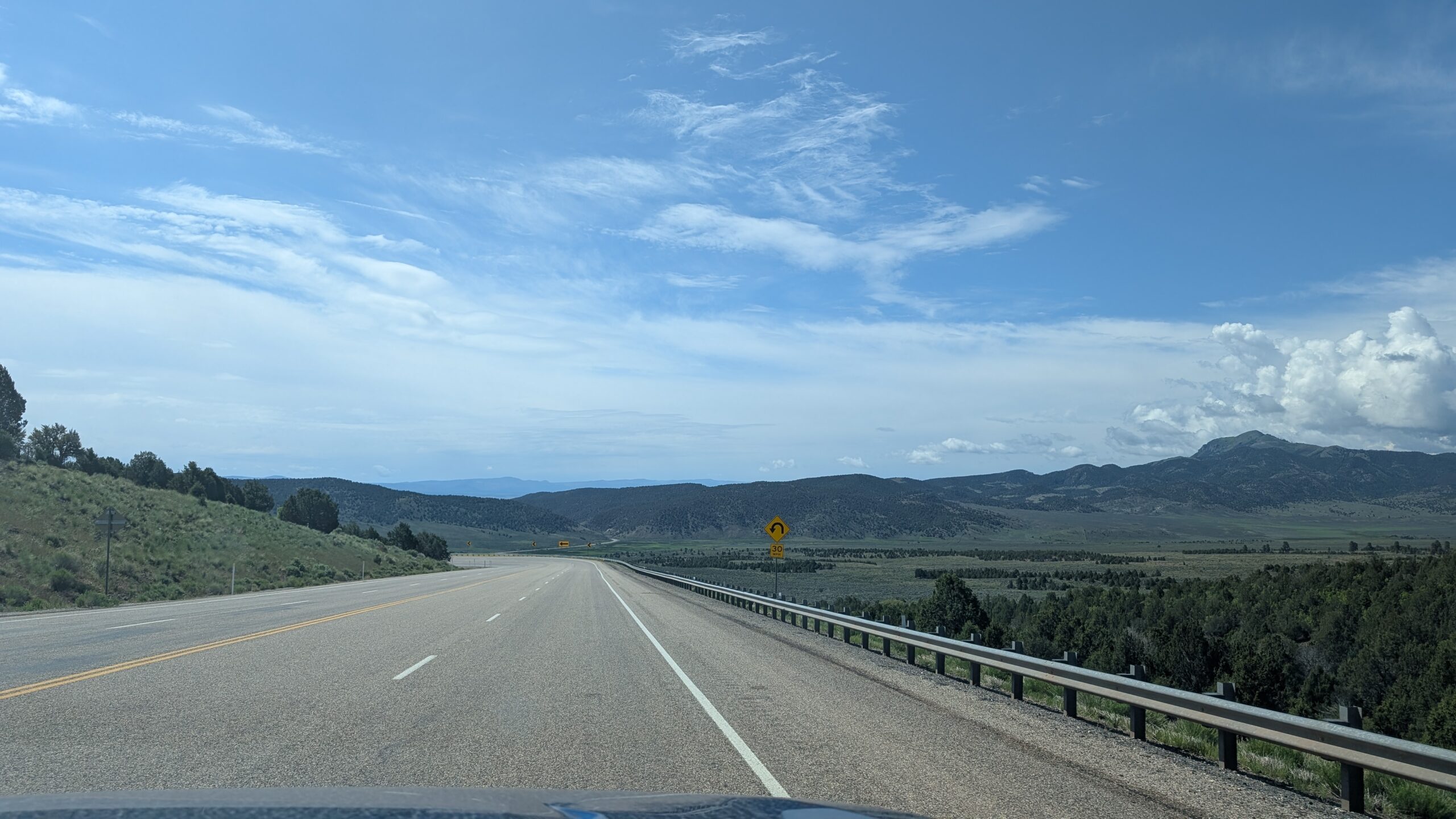
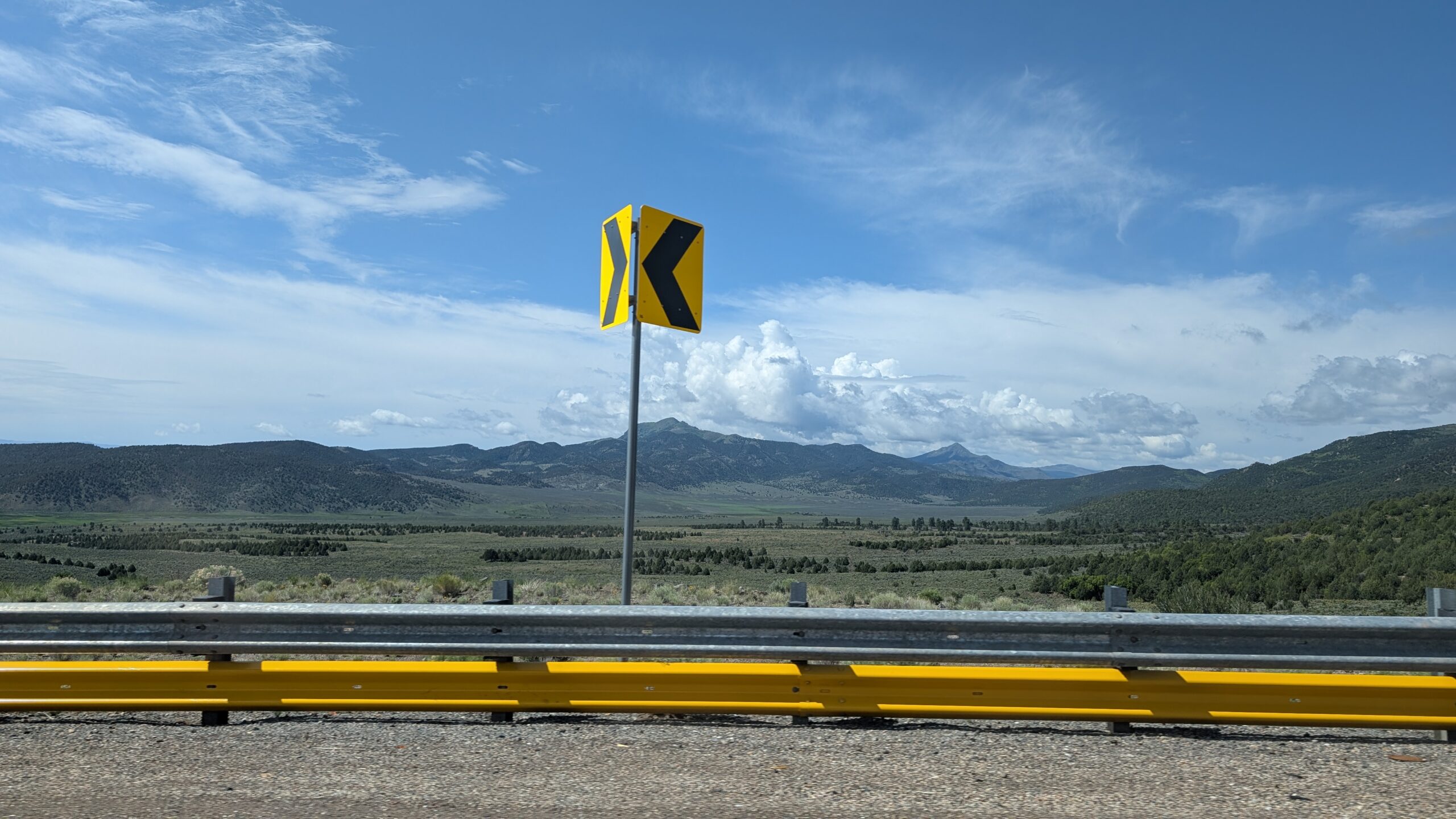
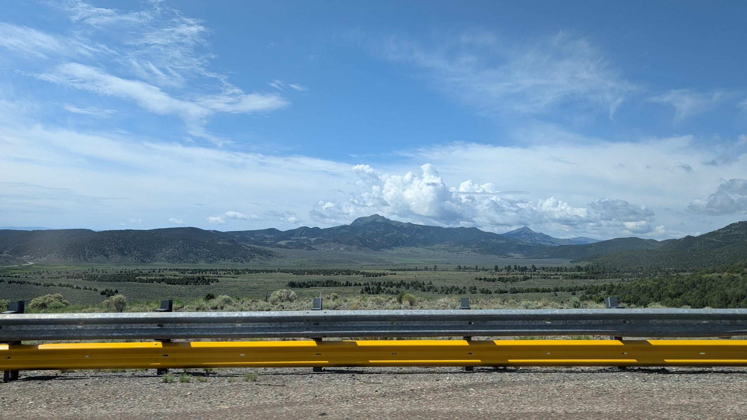
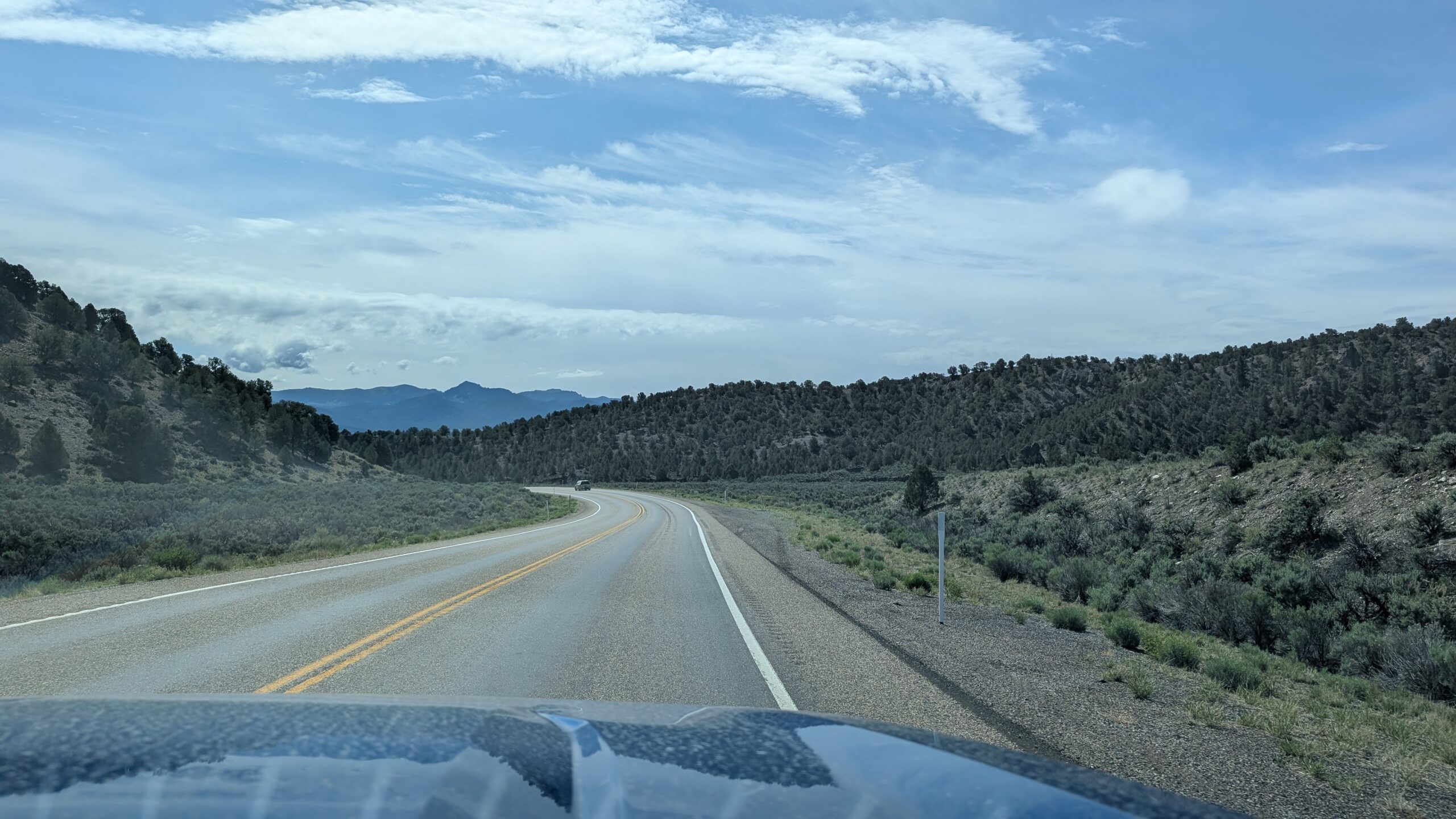
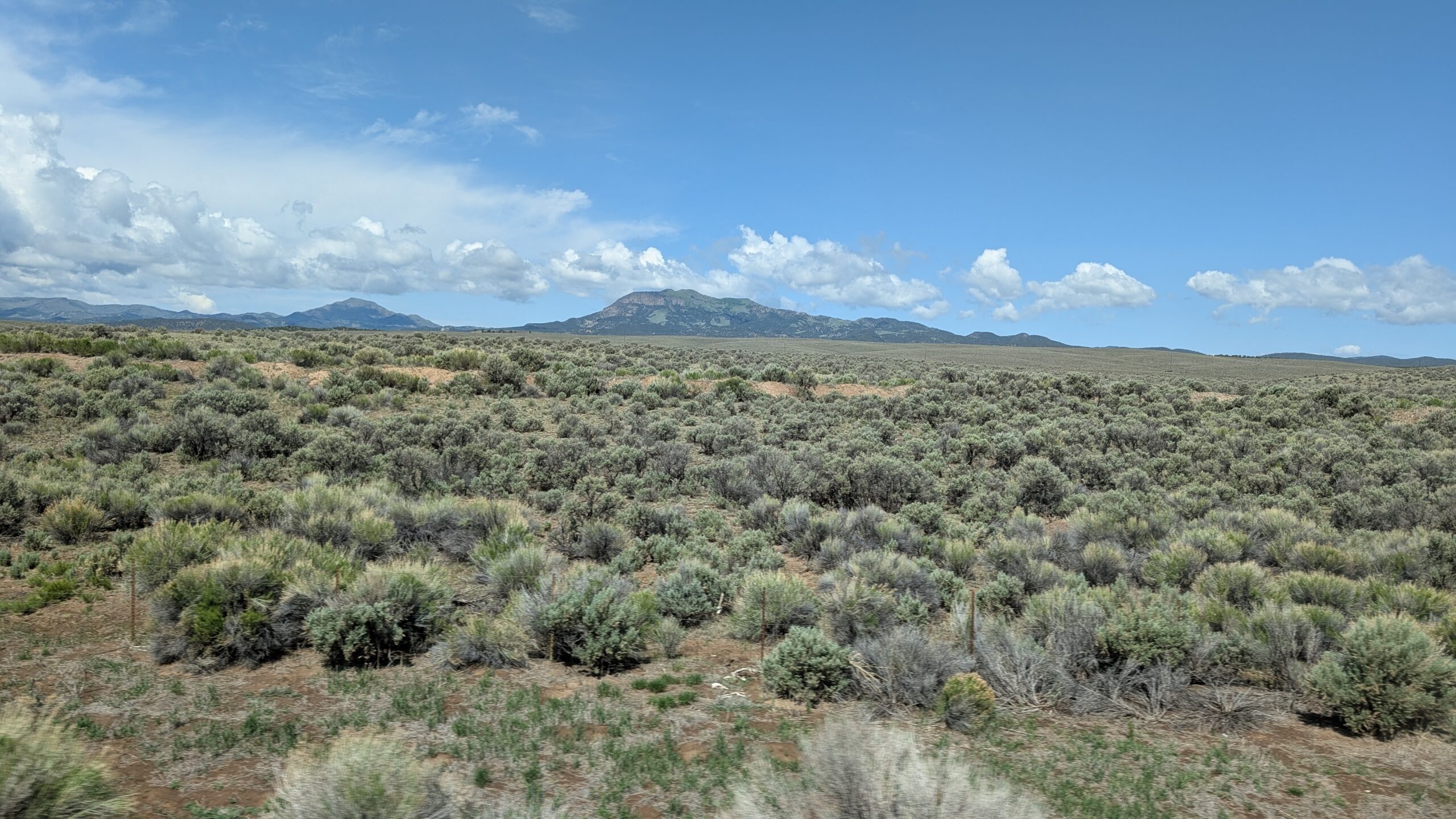
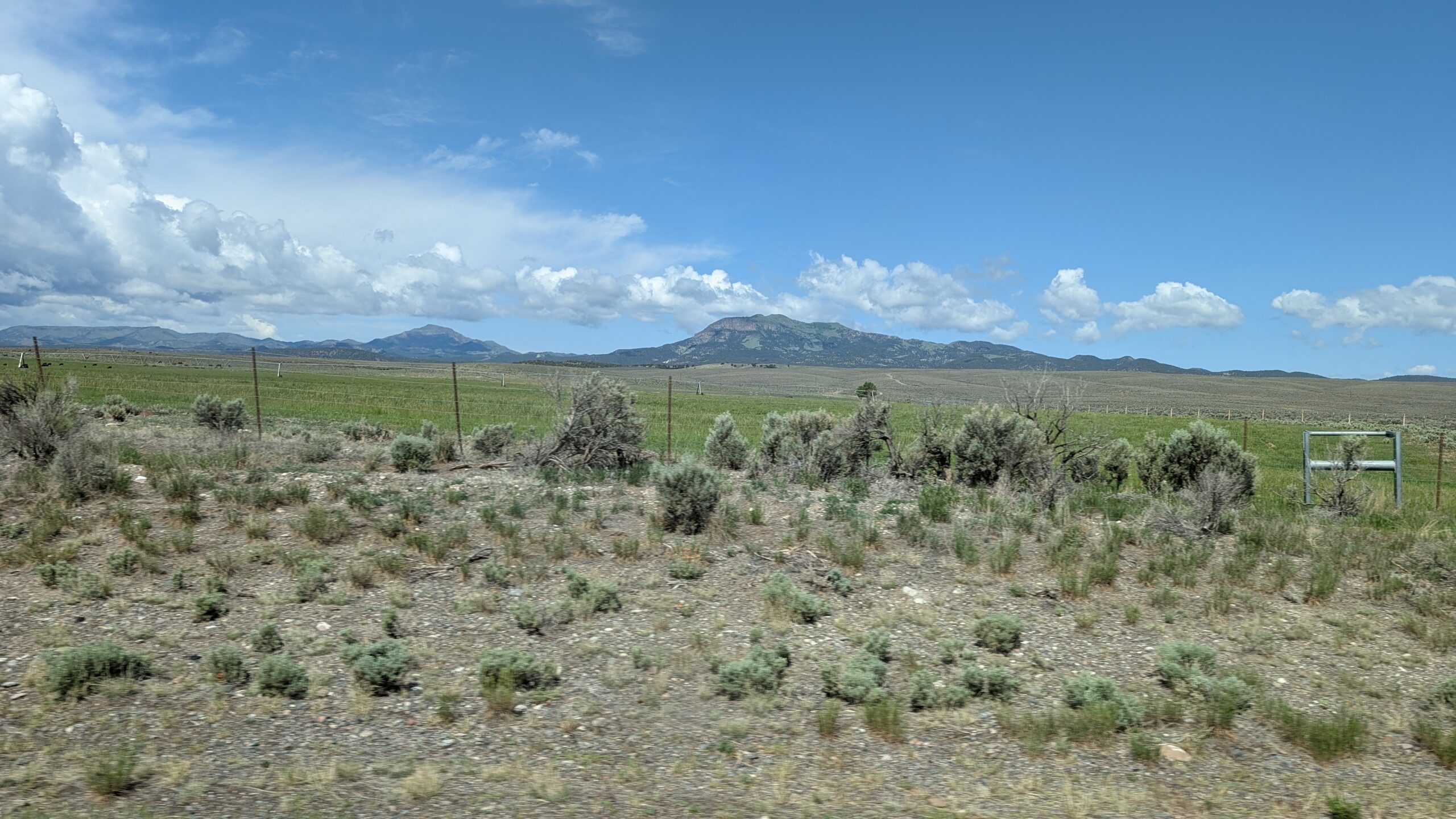
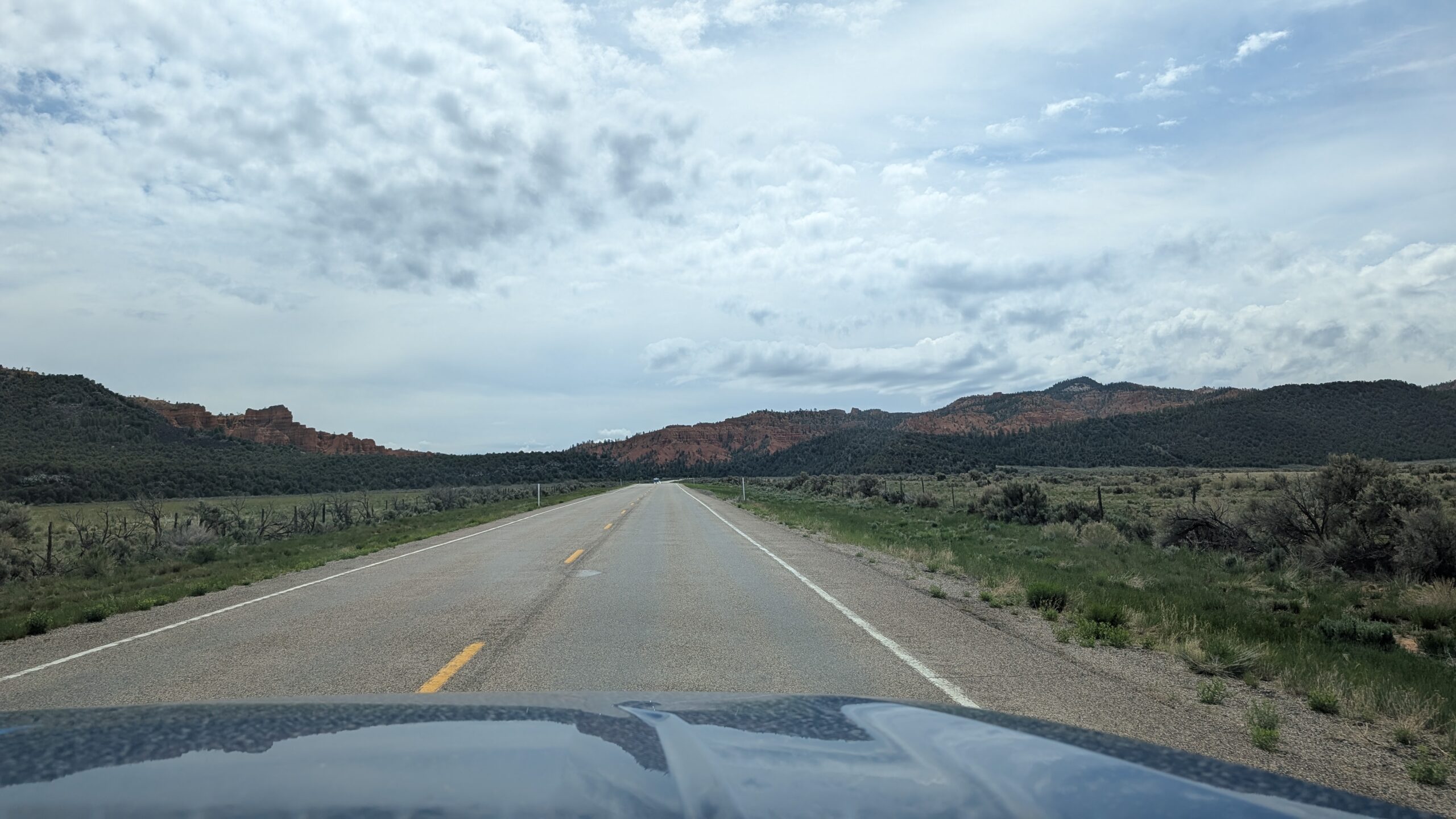
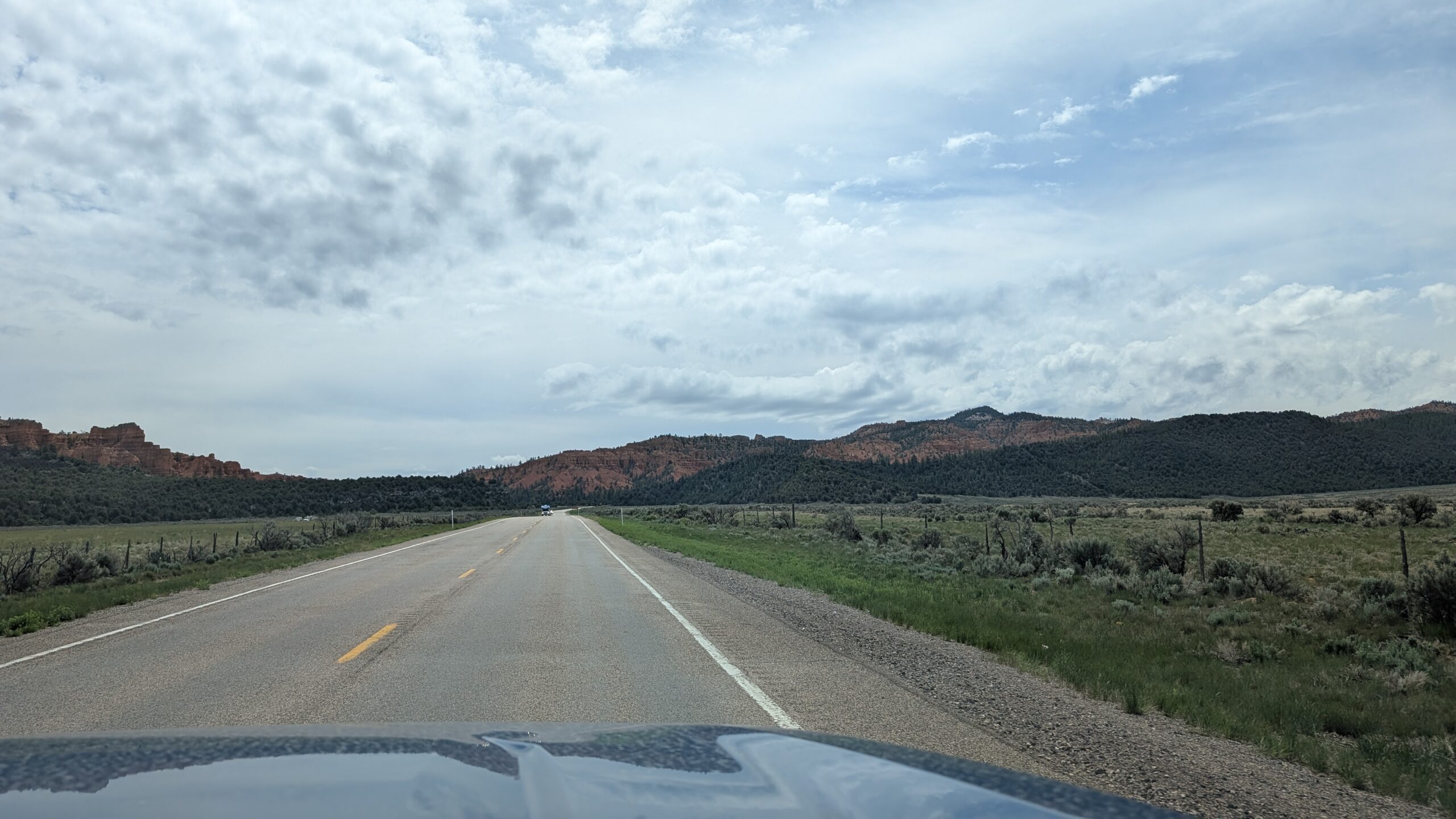
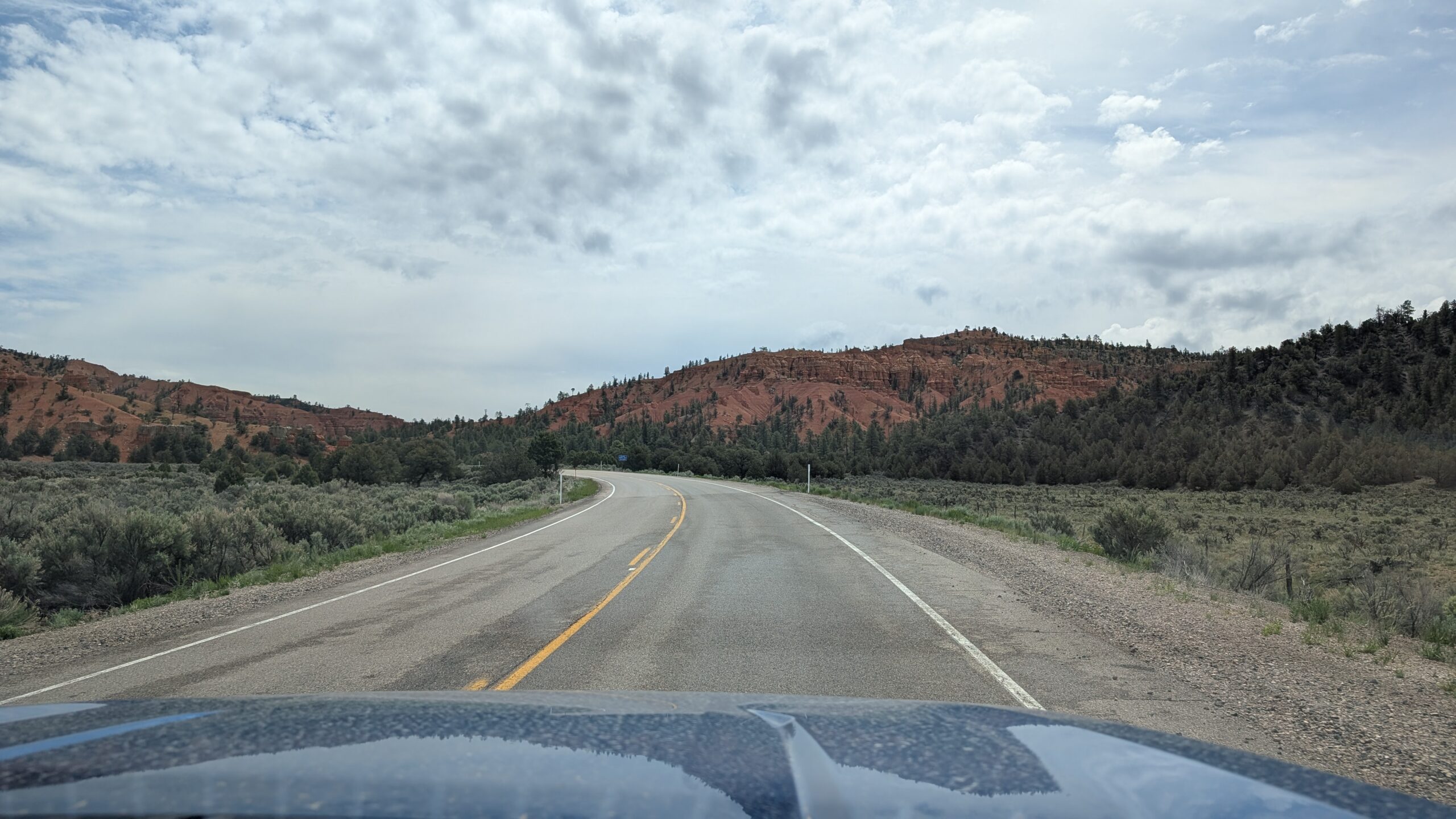
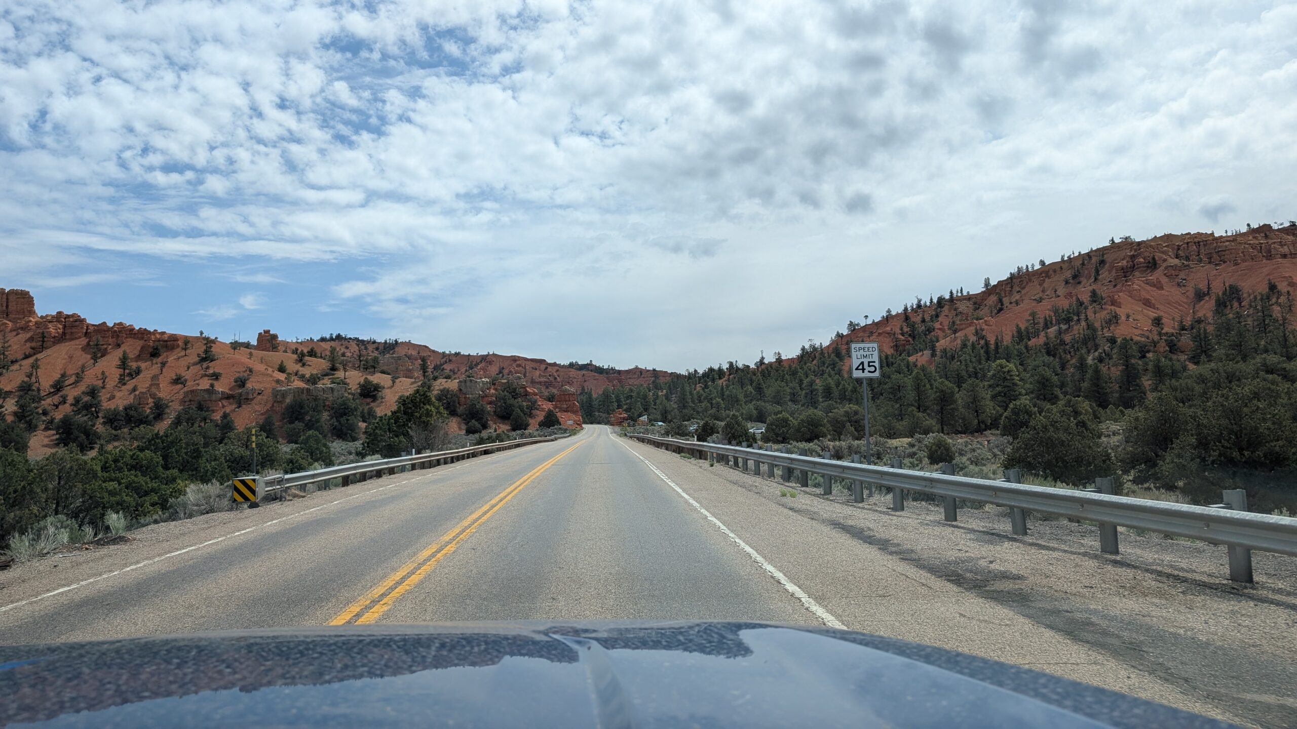
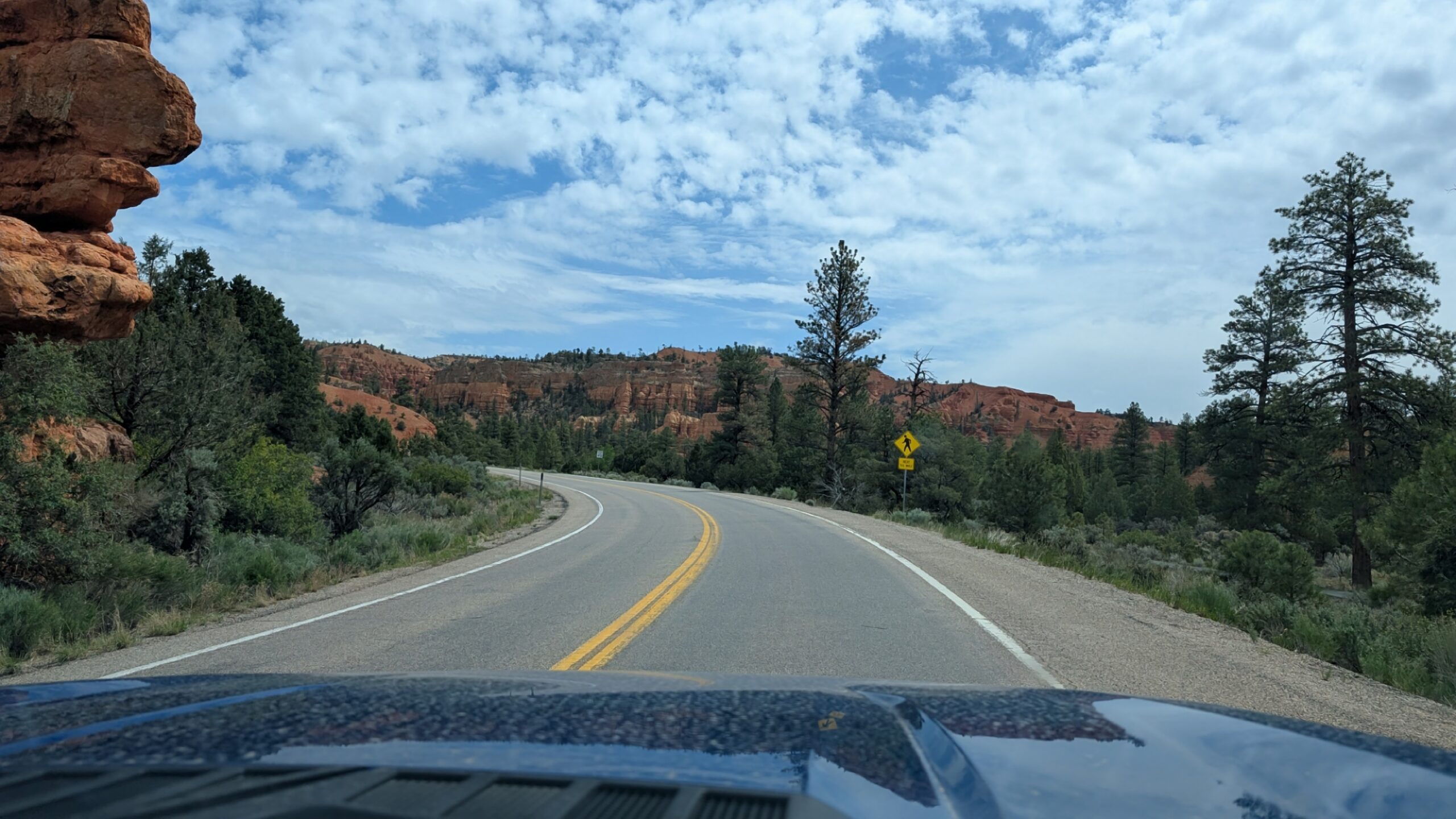
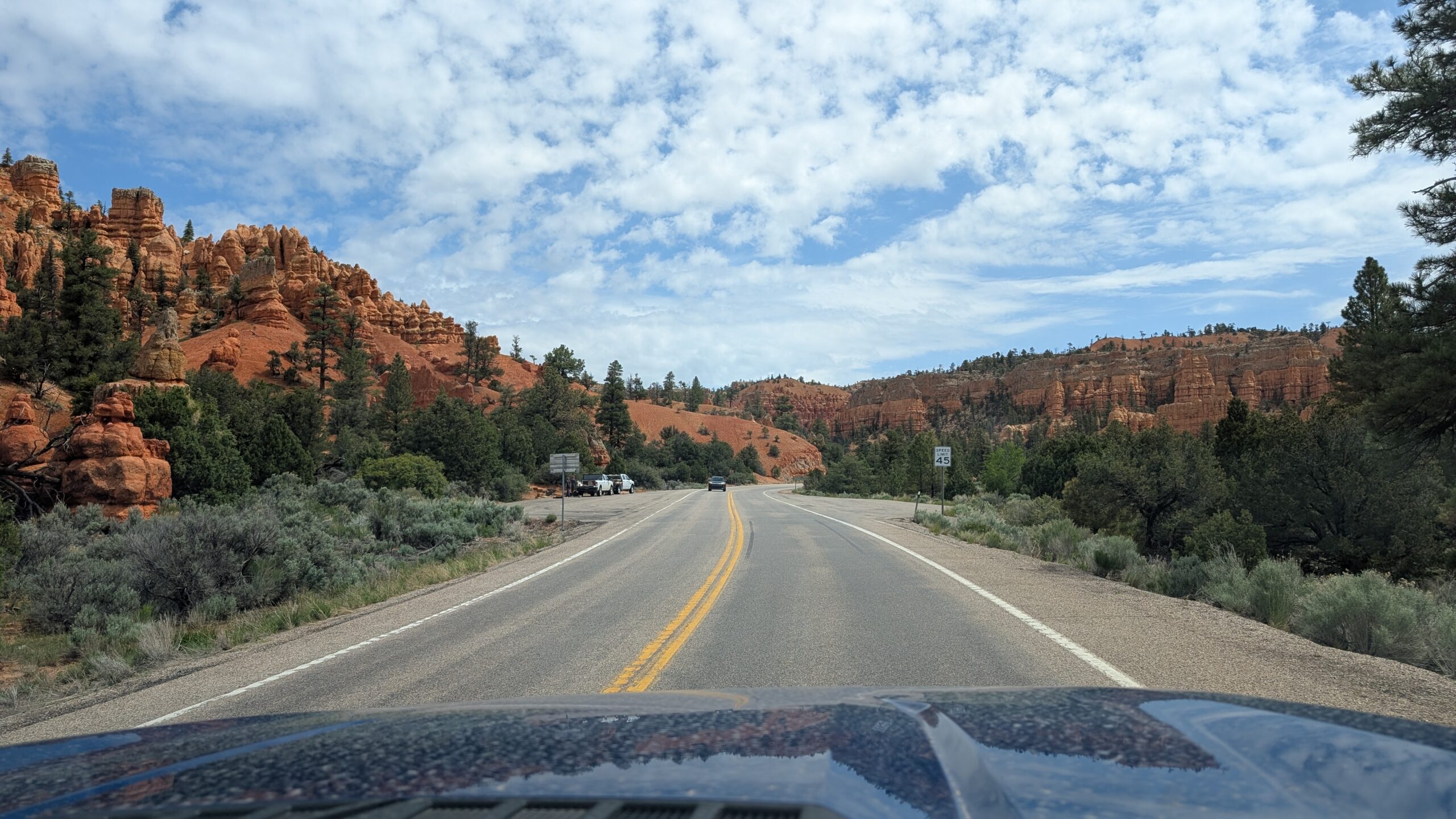
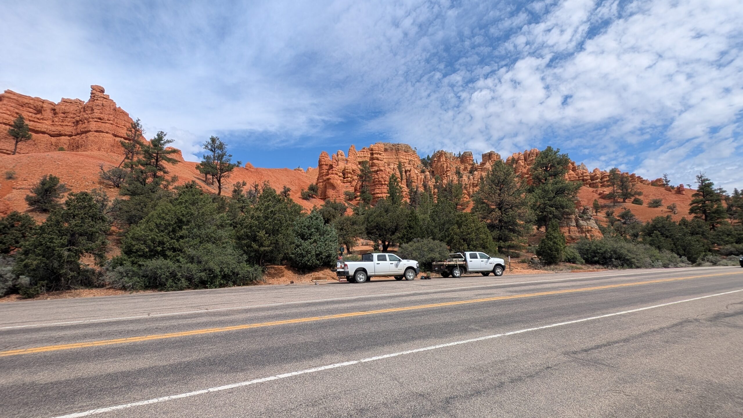
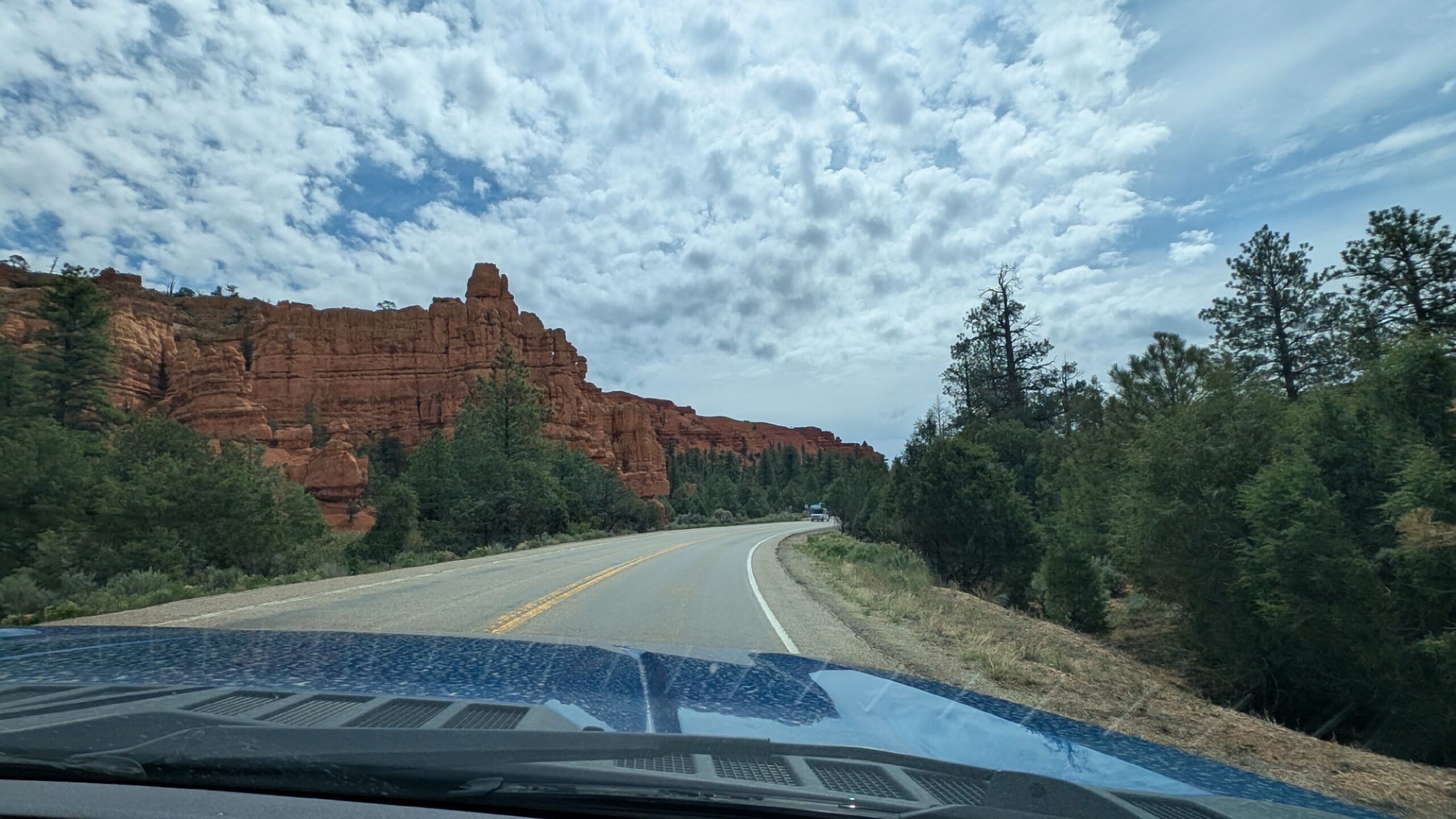
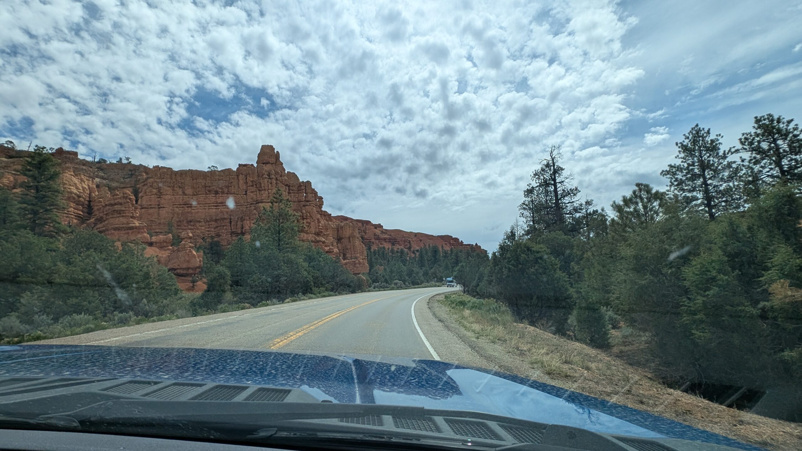
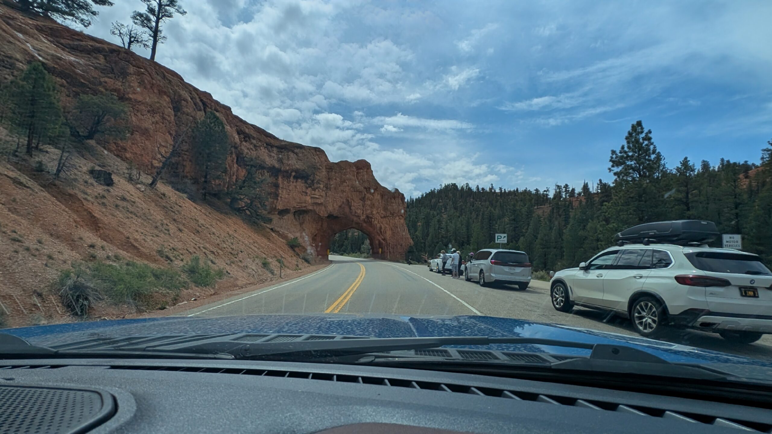
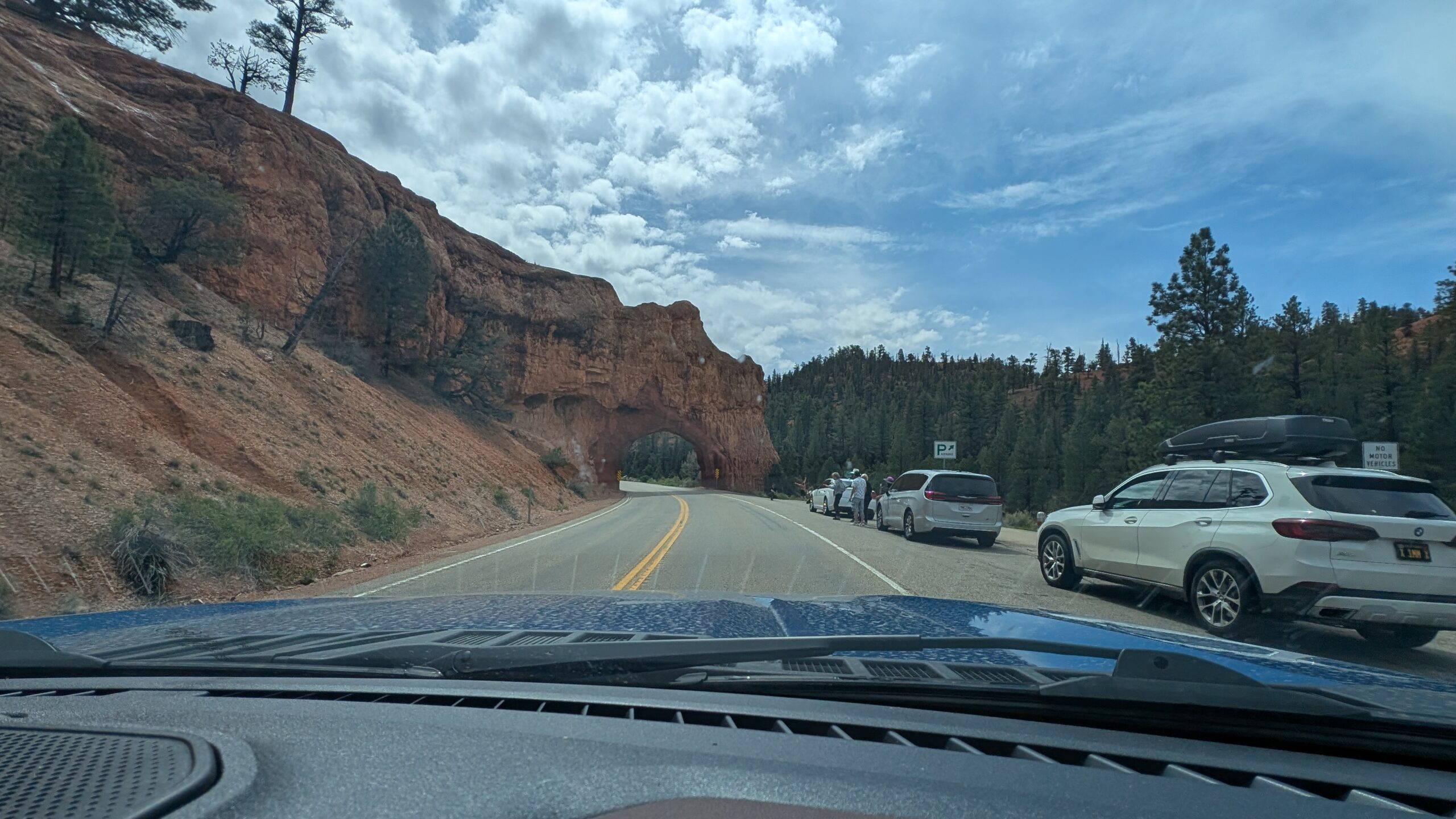
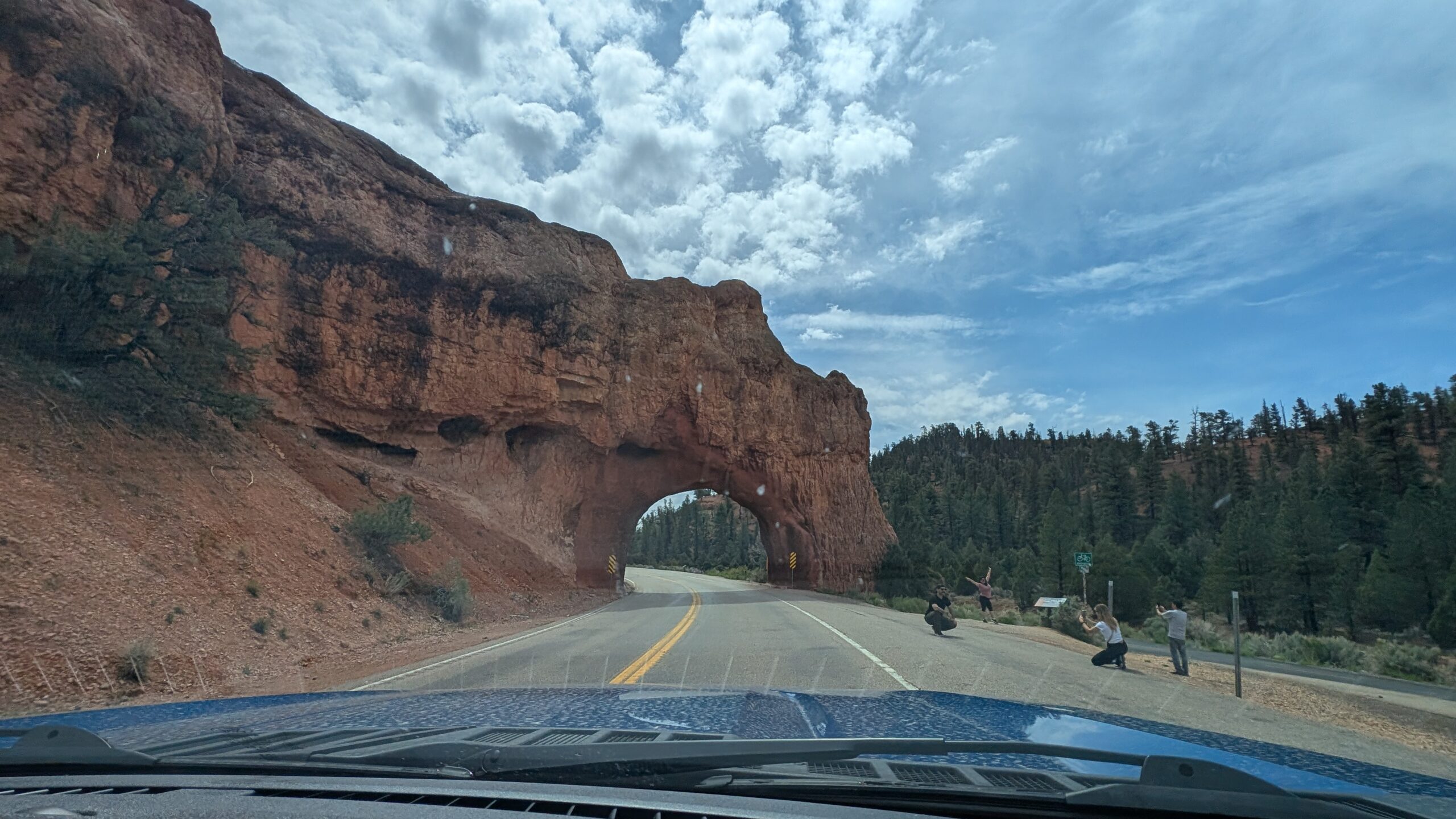
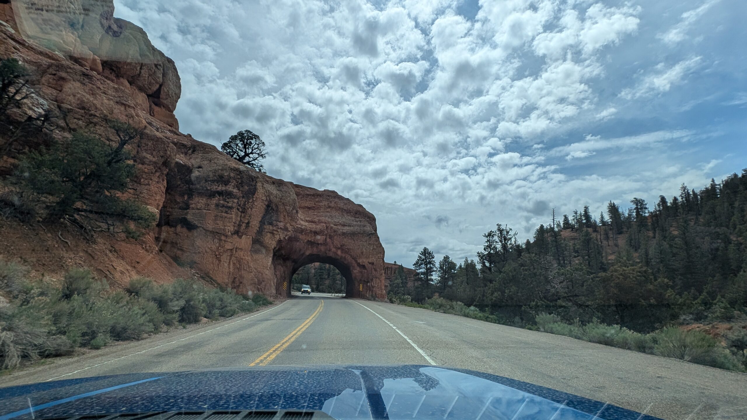
The drive up was unexpectedly beautiful as we approached Bryce Canyon, passing through what I know now as being Red Canyon, part of the forest service lands. We’ll head back to the visitor center tomorrow on our way to rock round with Megan. Here’s a shot of what we were seeing along that route:

We didn’t have much opportunity to stop because we had the camper, but we’ll definitely take some more pictures when we’re up that way tomorrow.
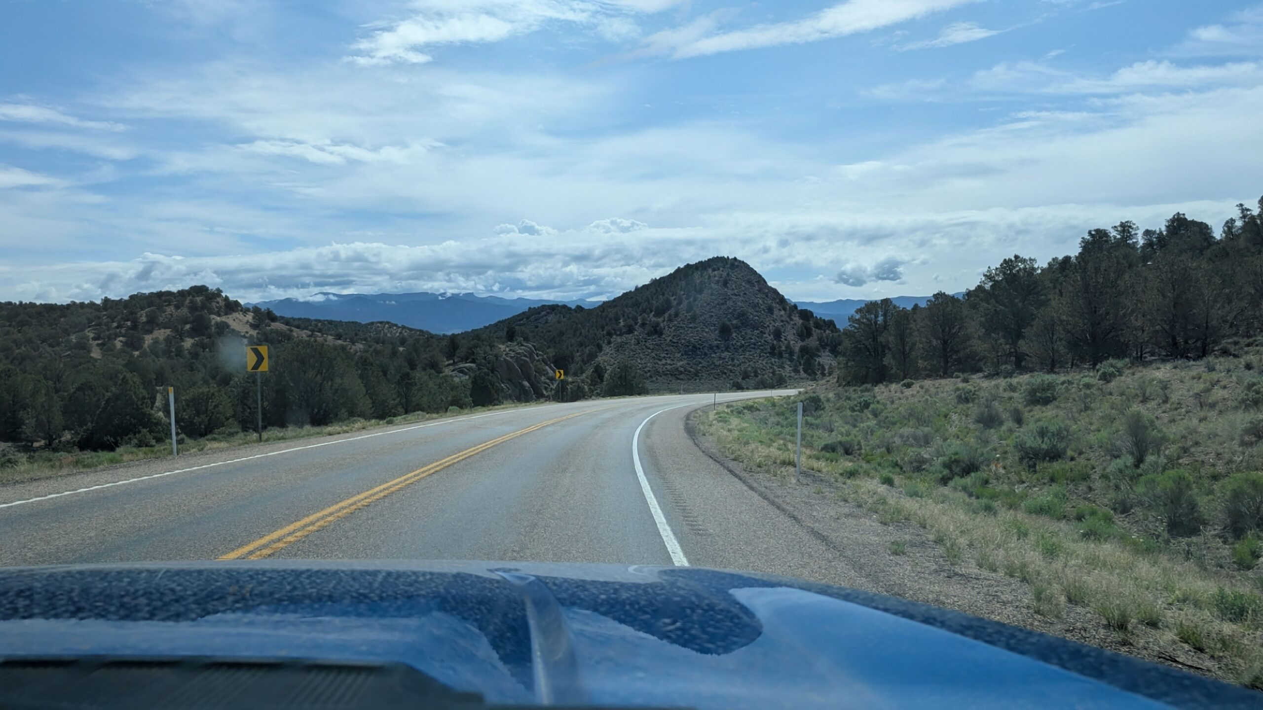
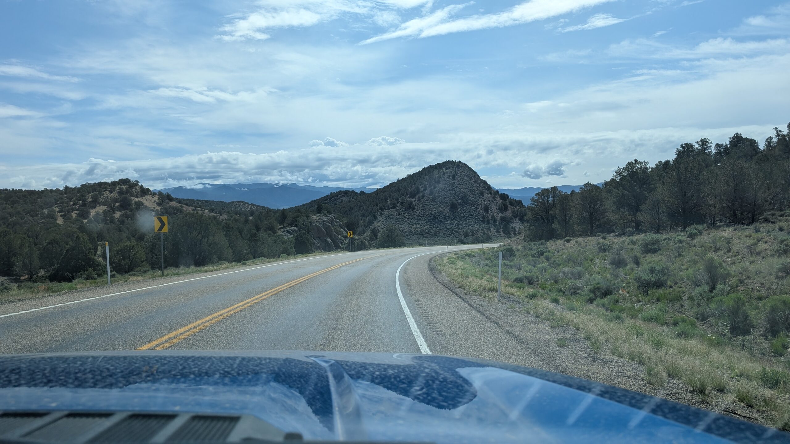
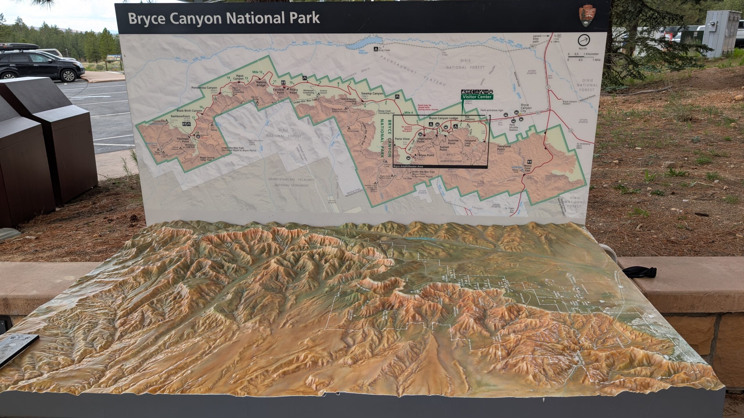
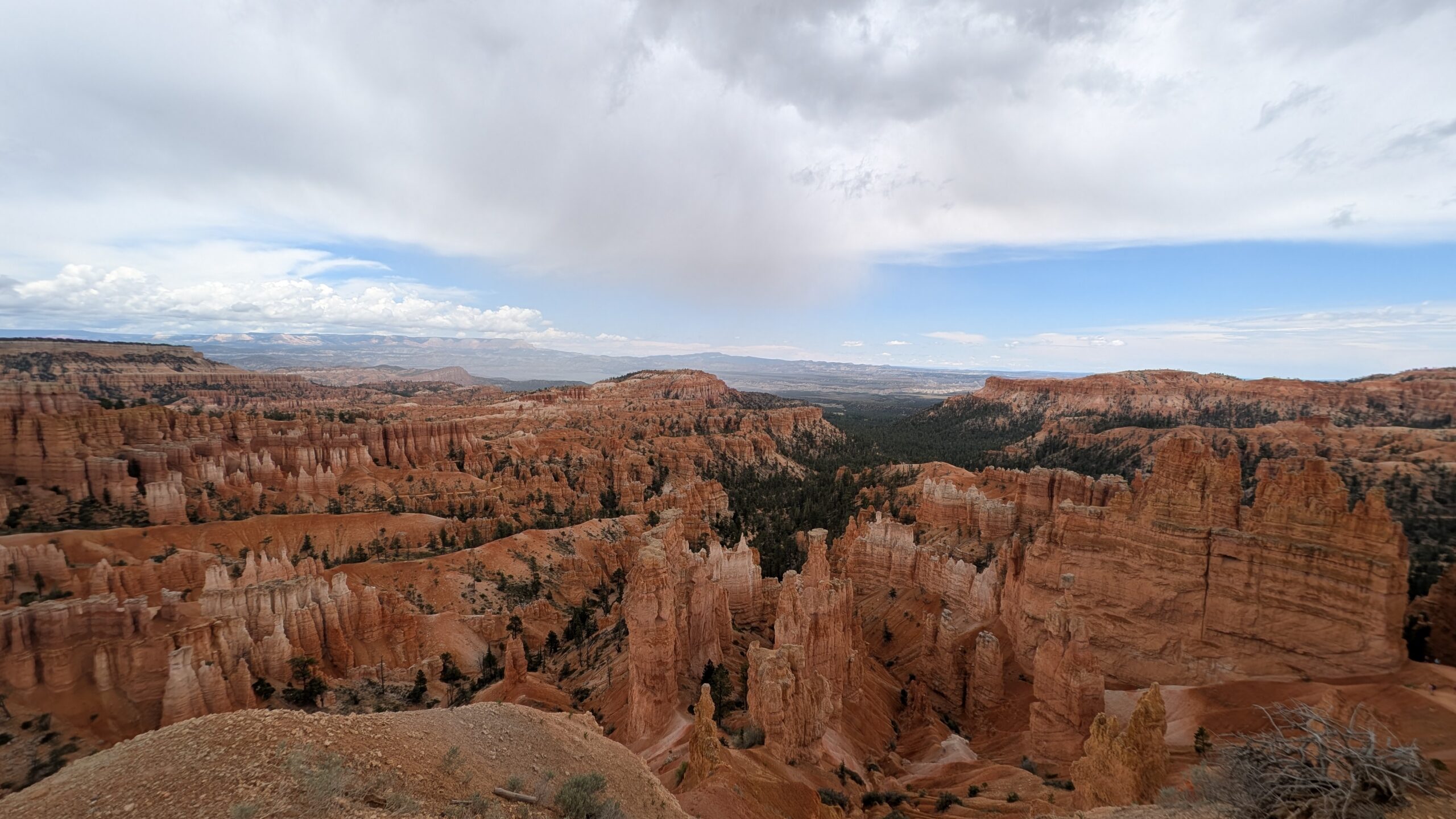
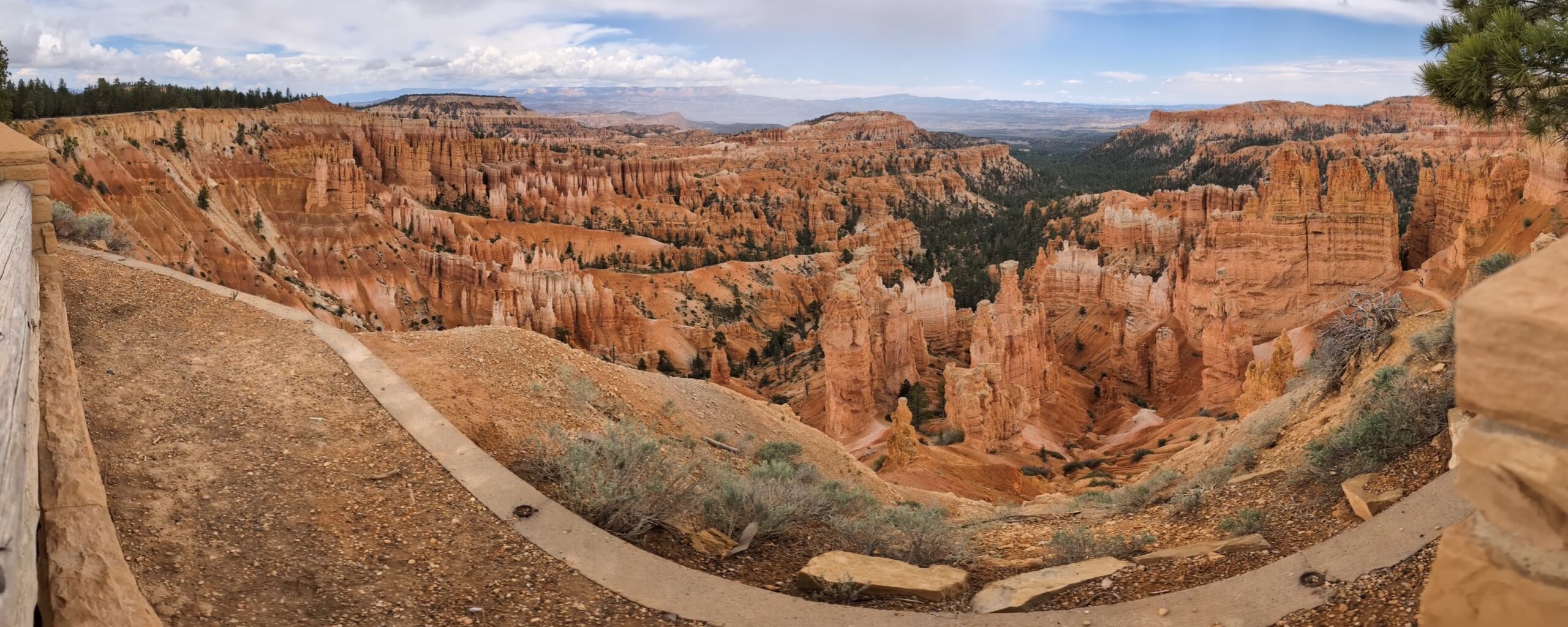
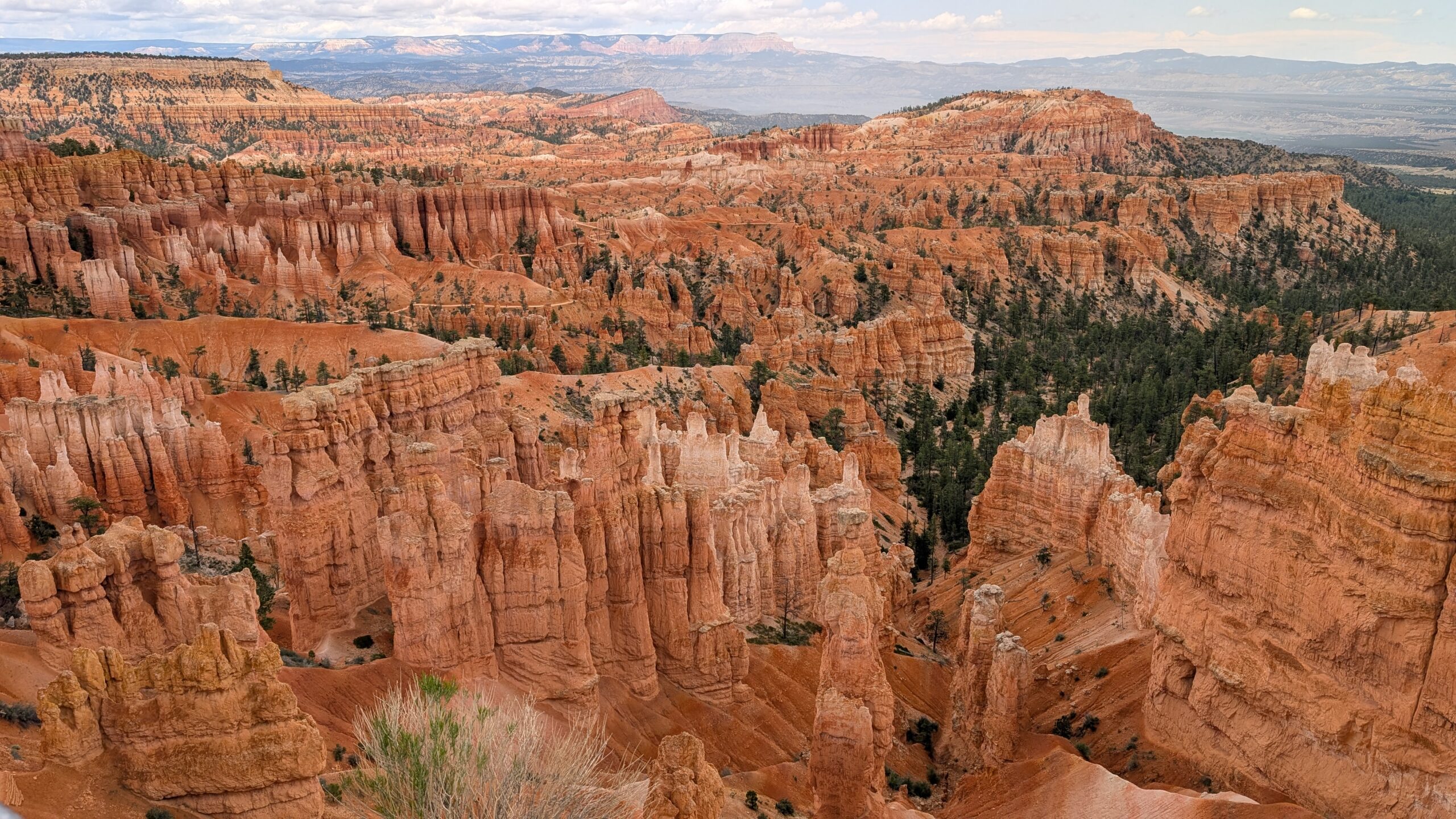
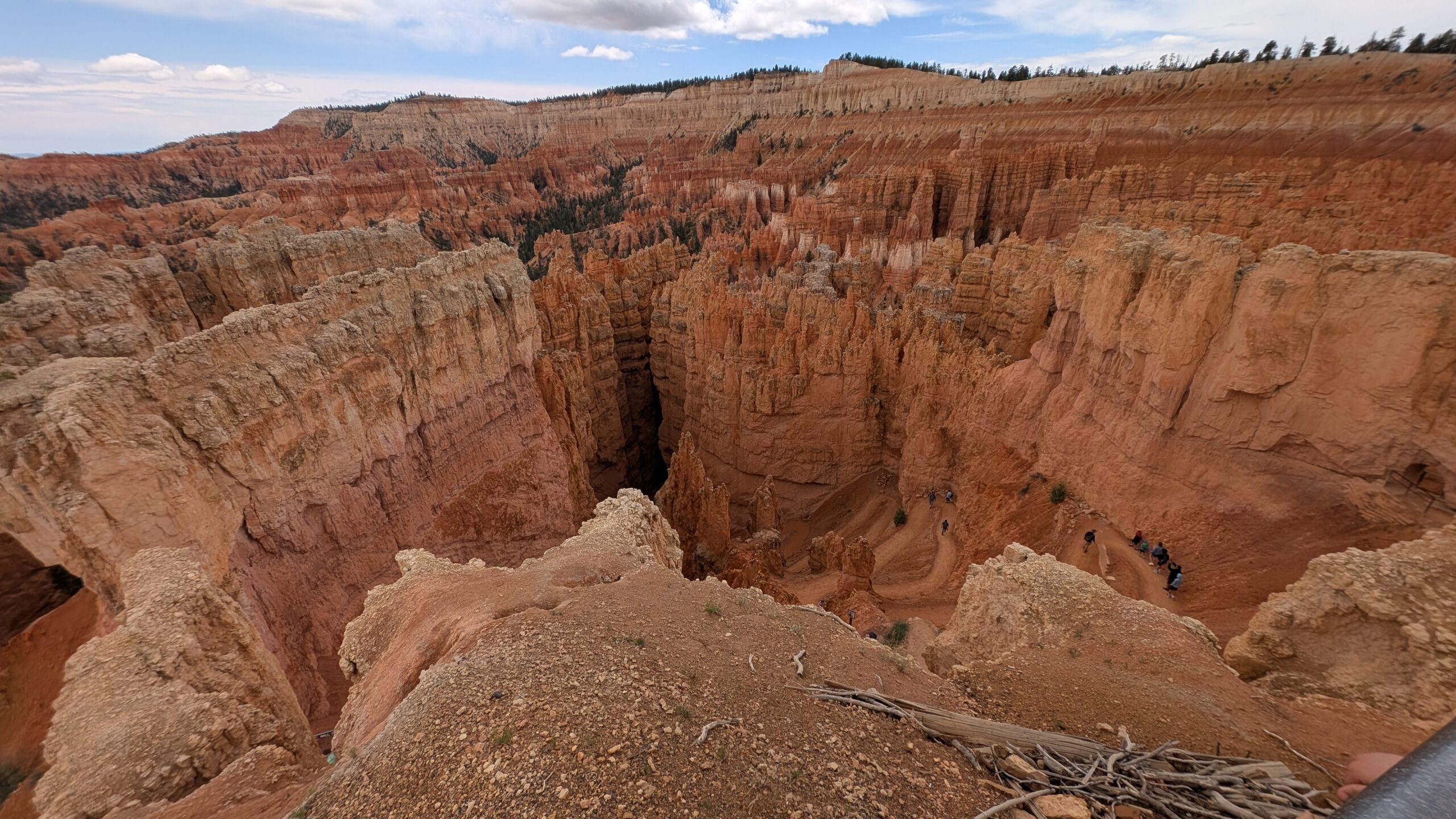
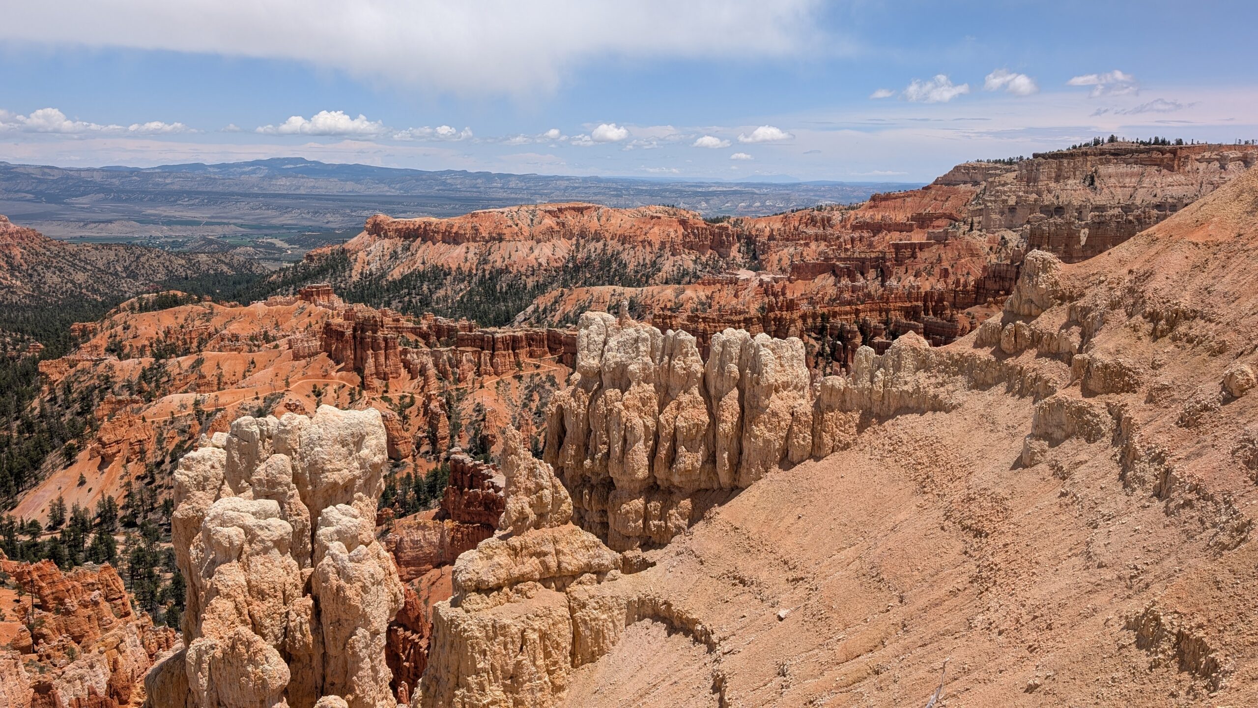
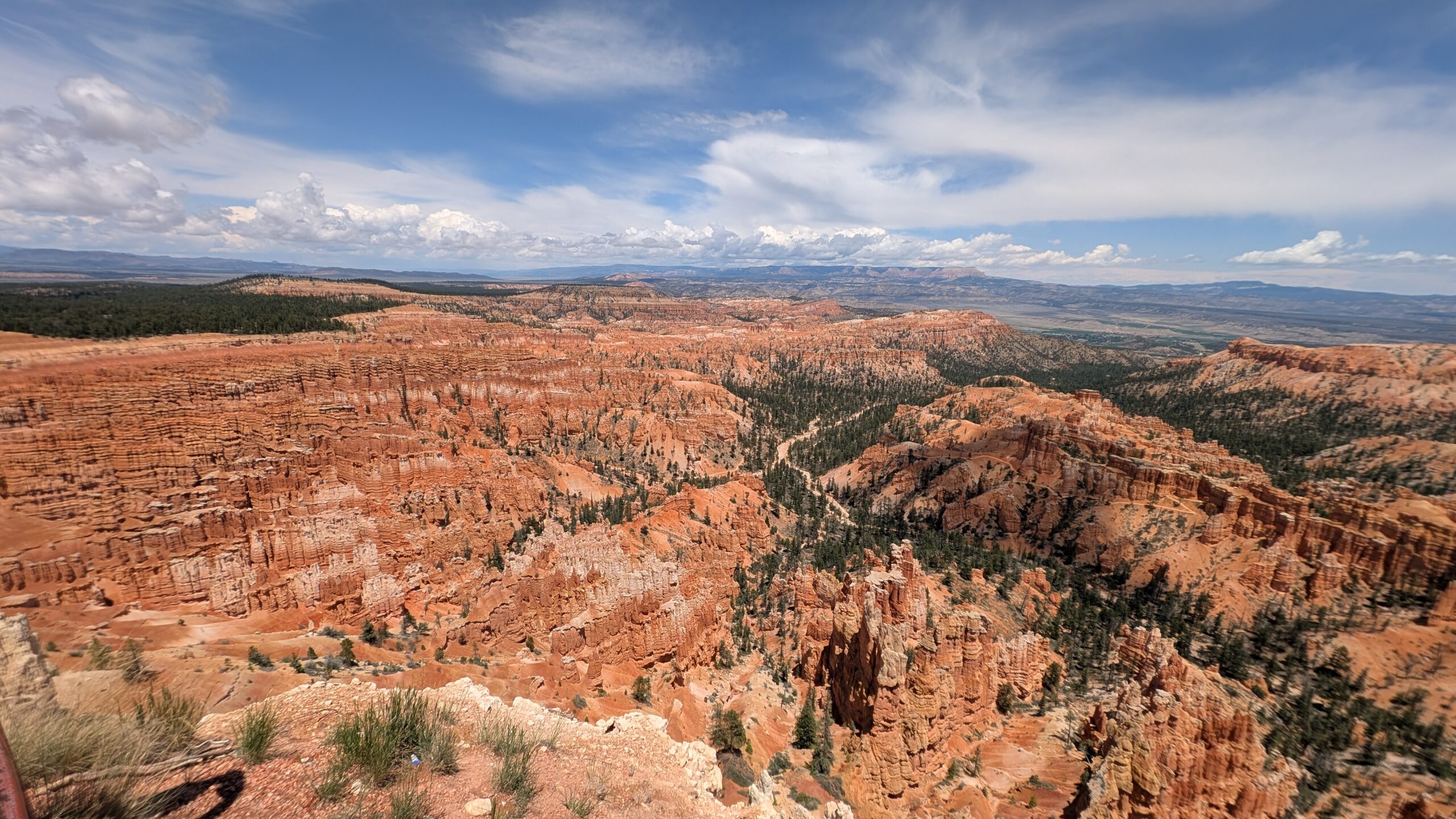
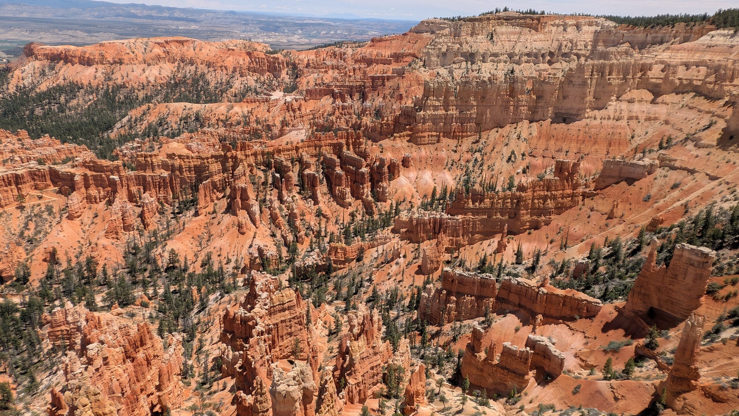
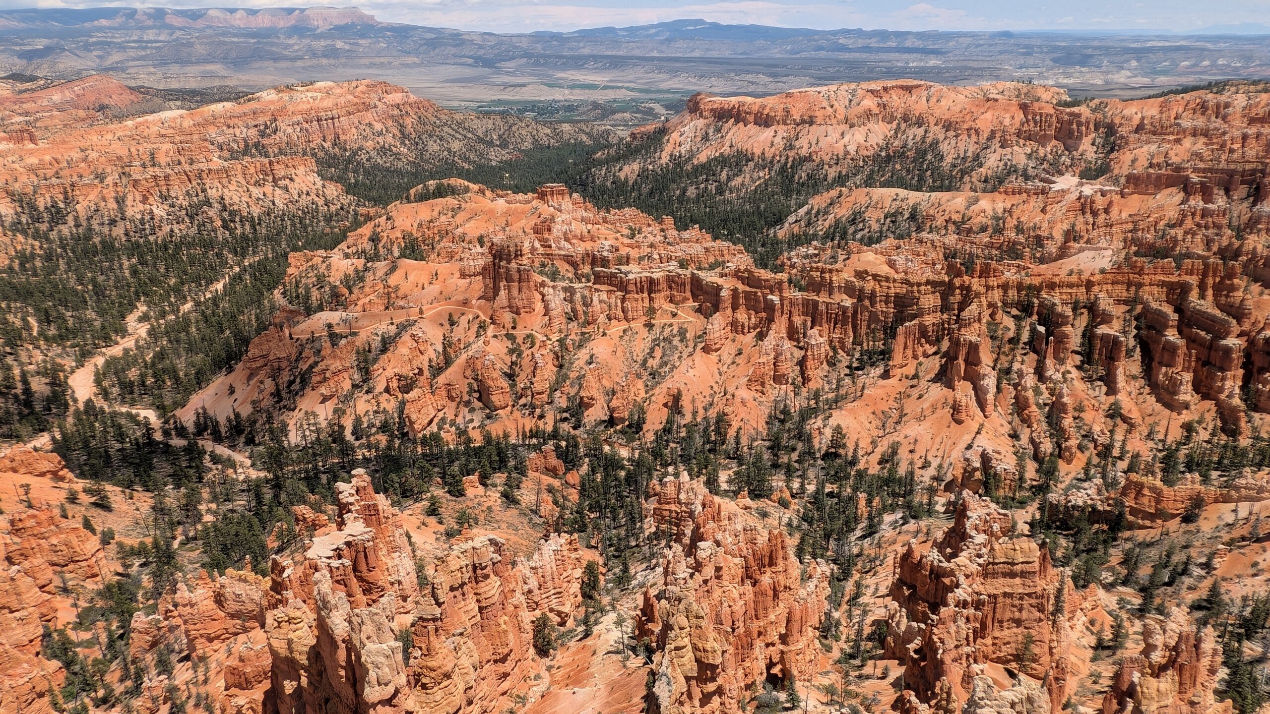
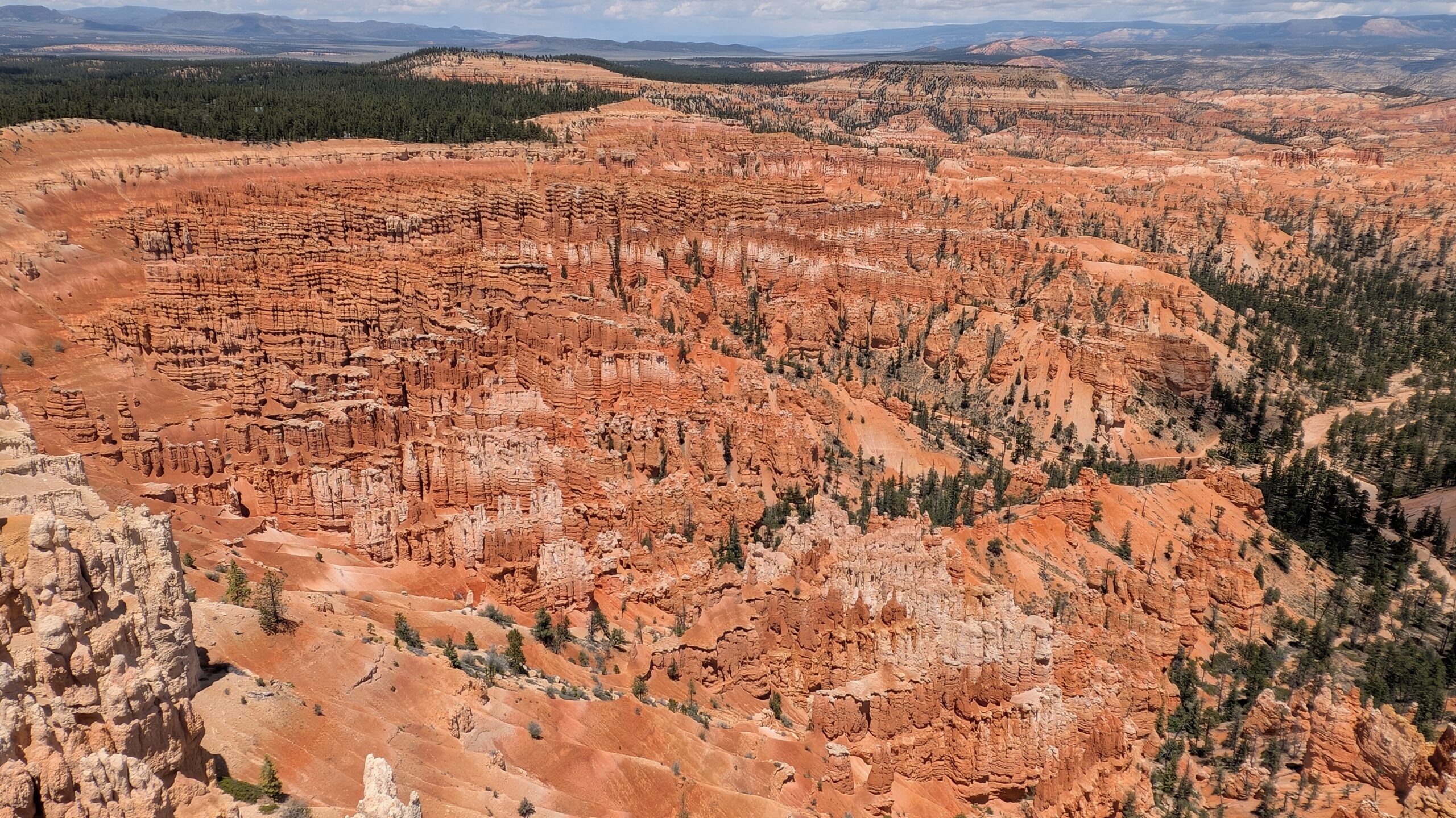
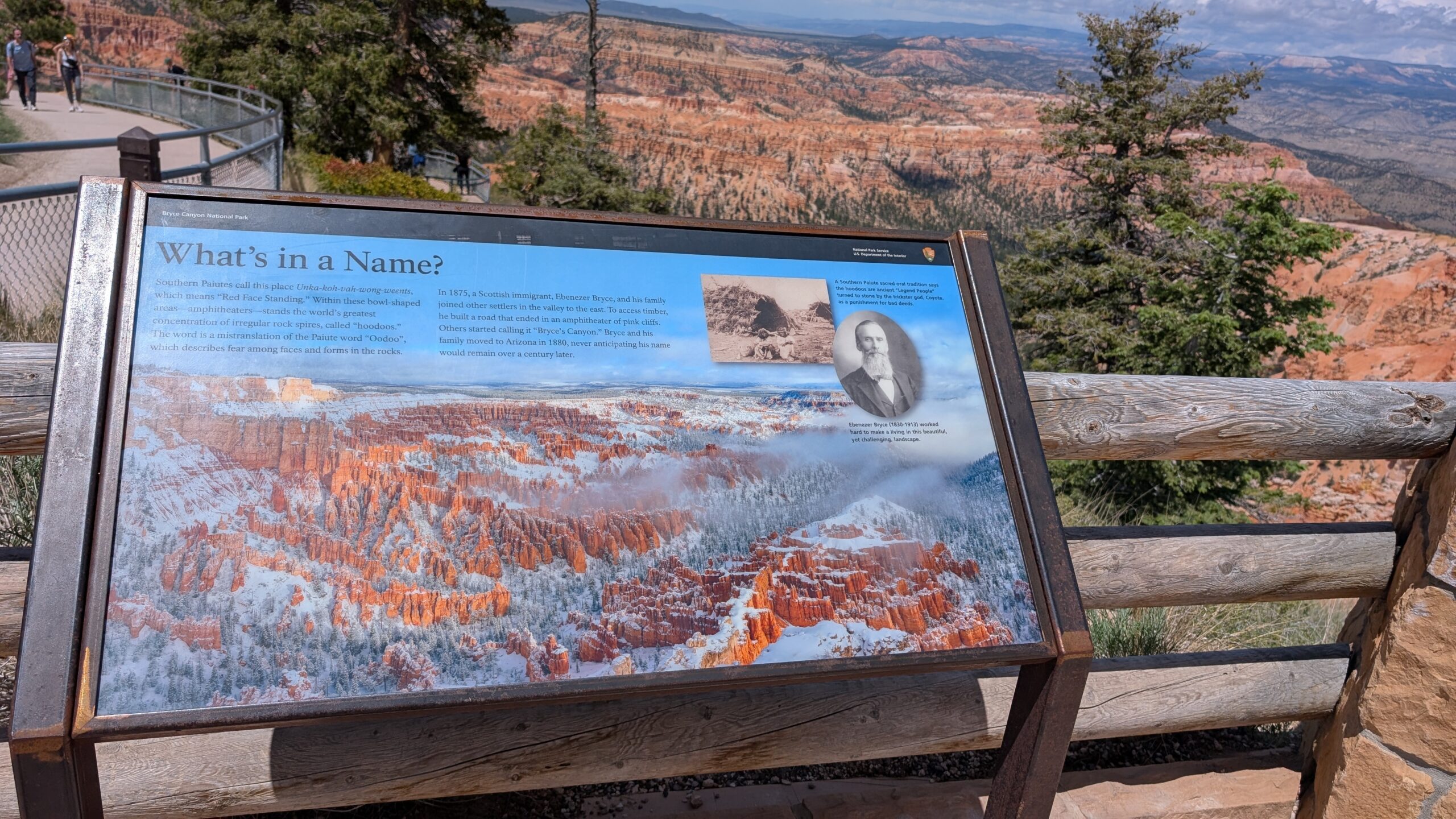
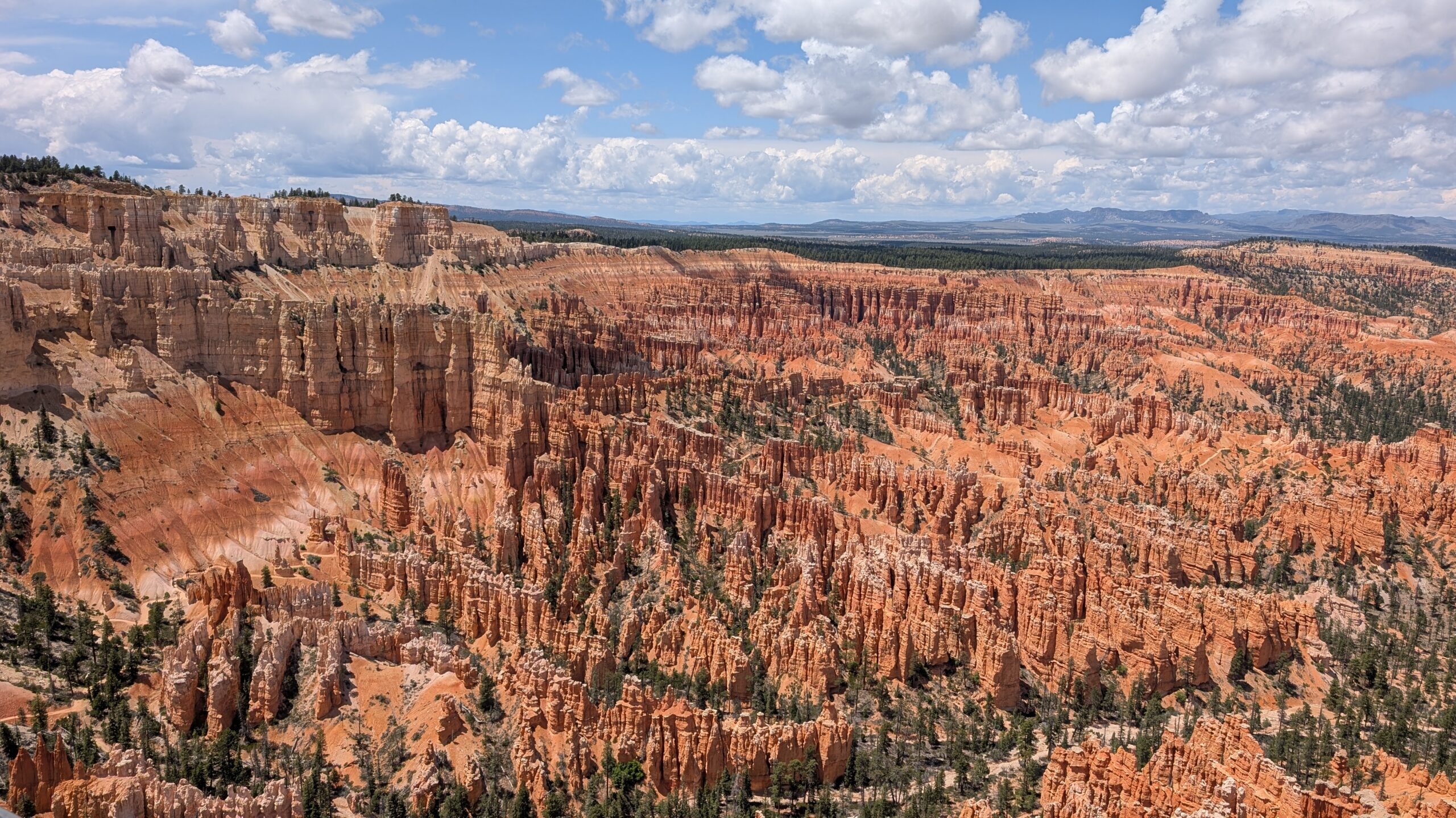
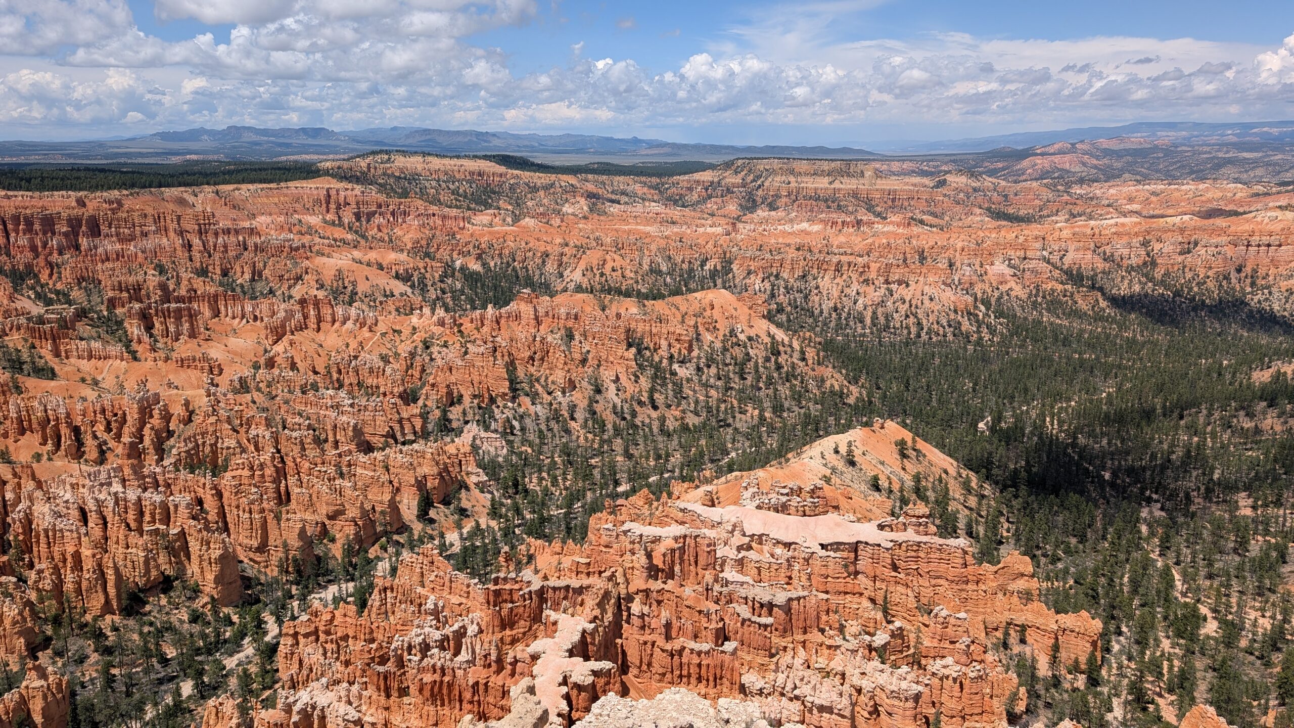
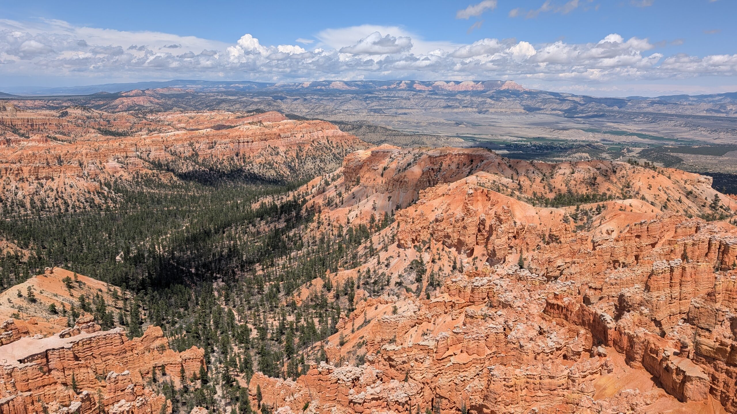
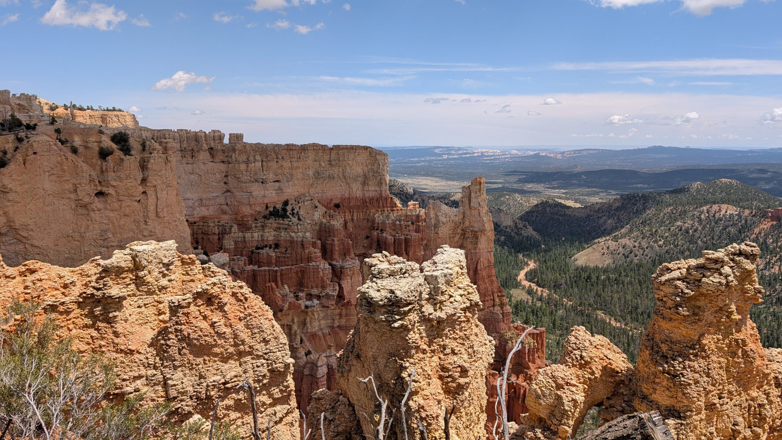
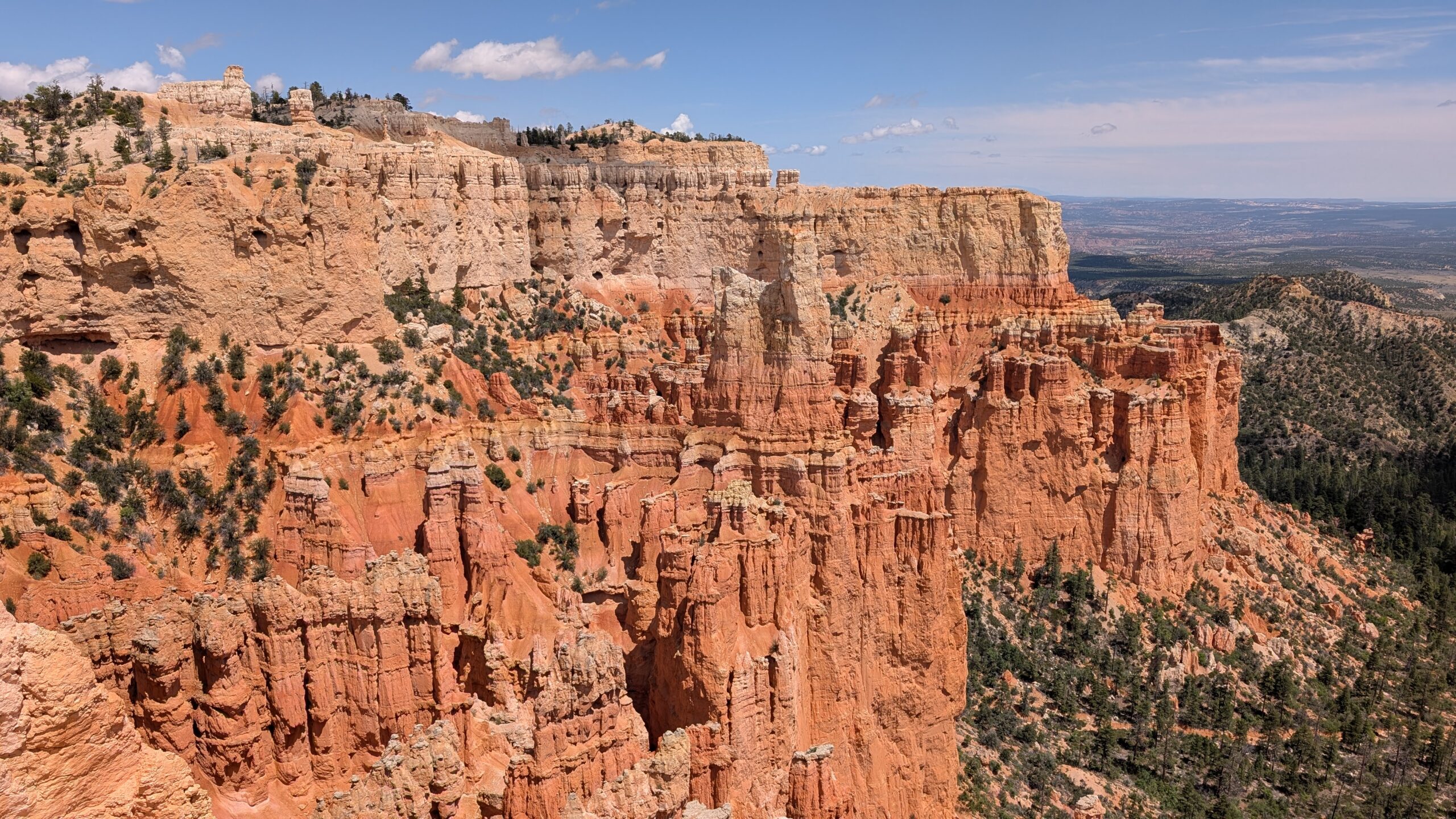
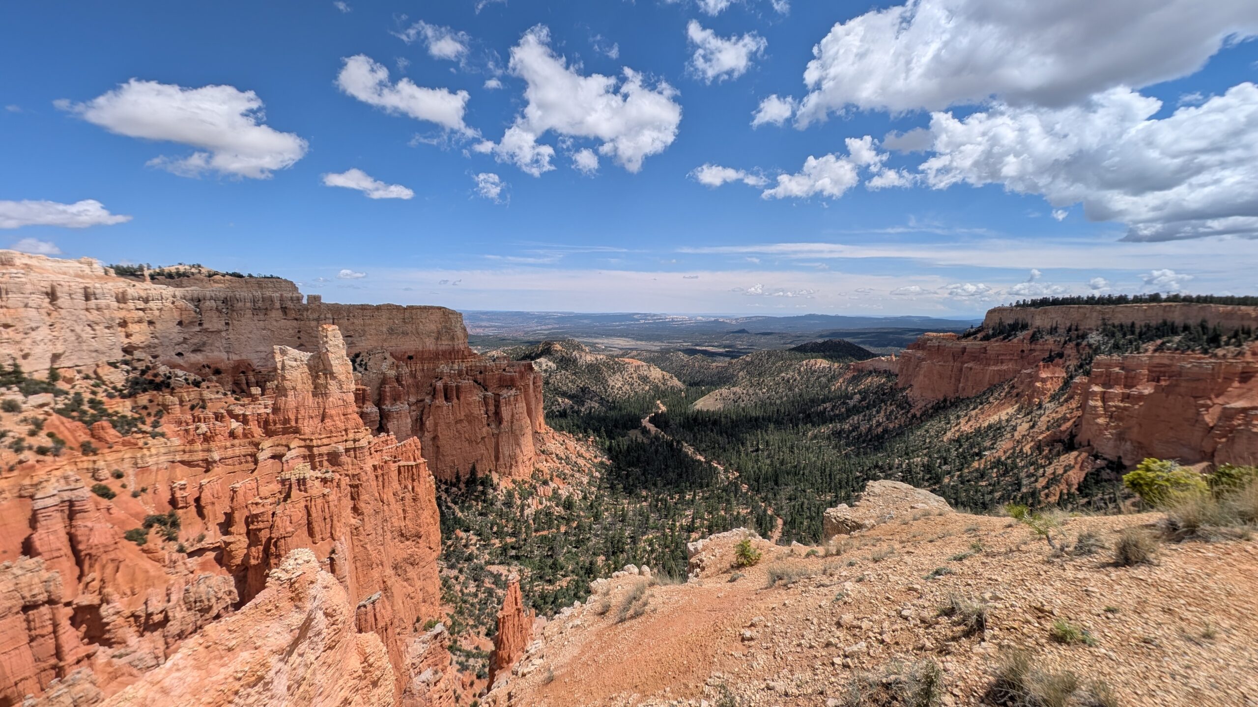
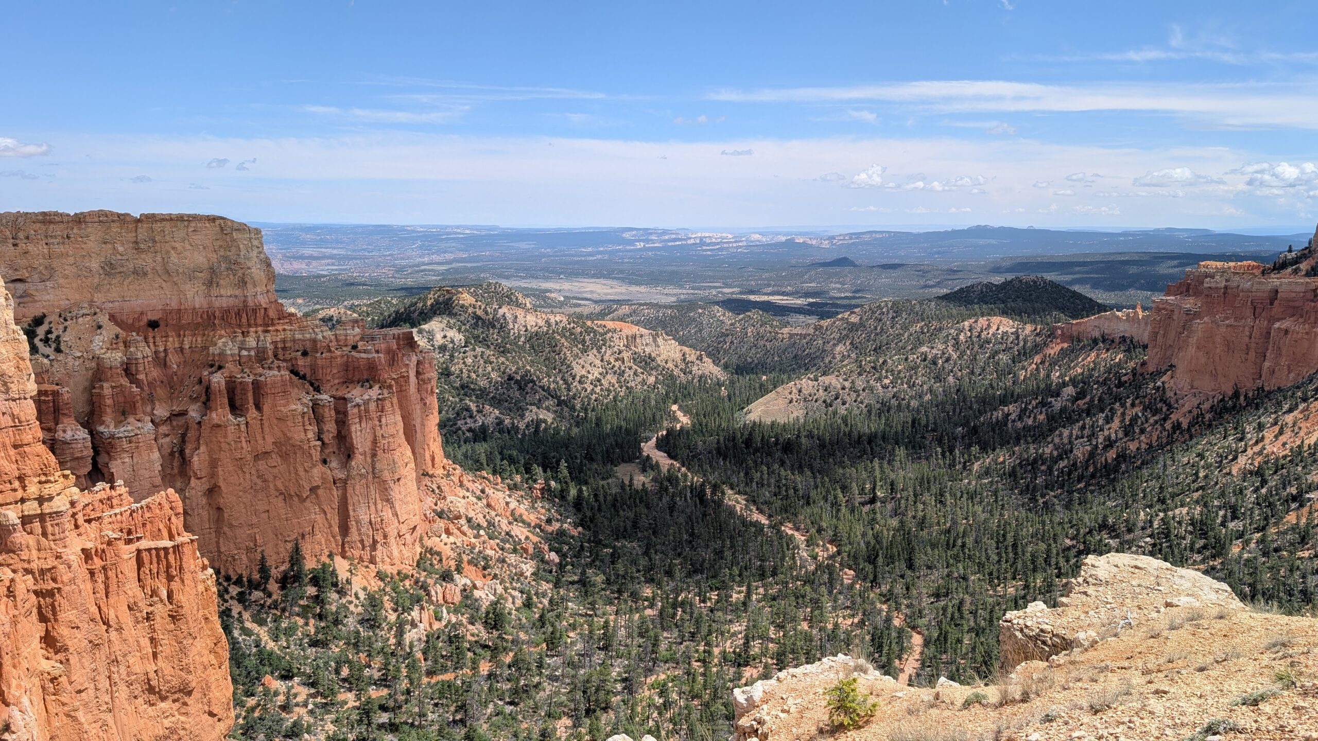
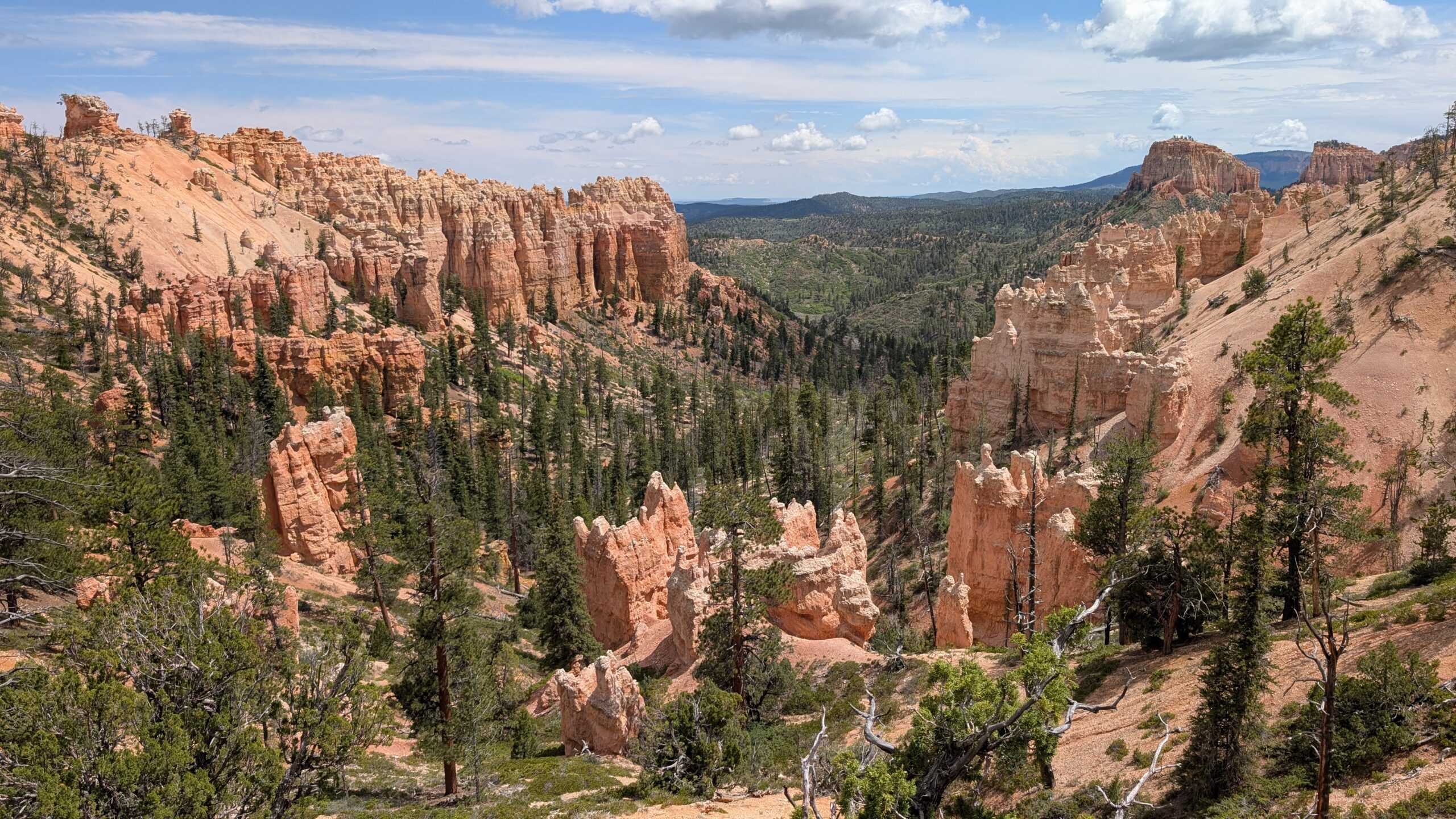
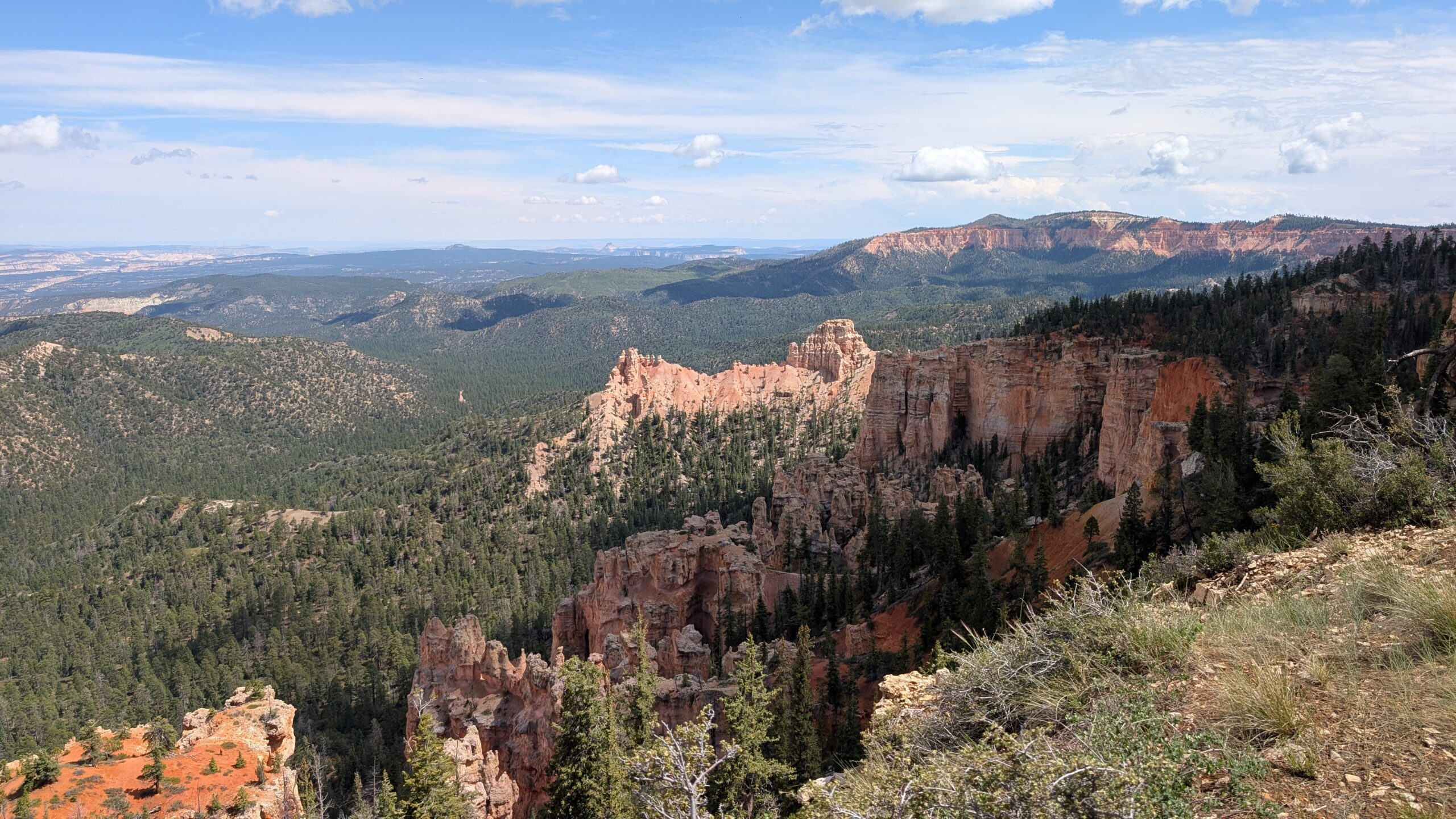
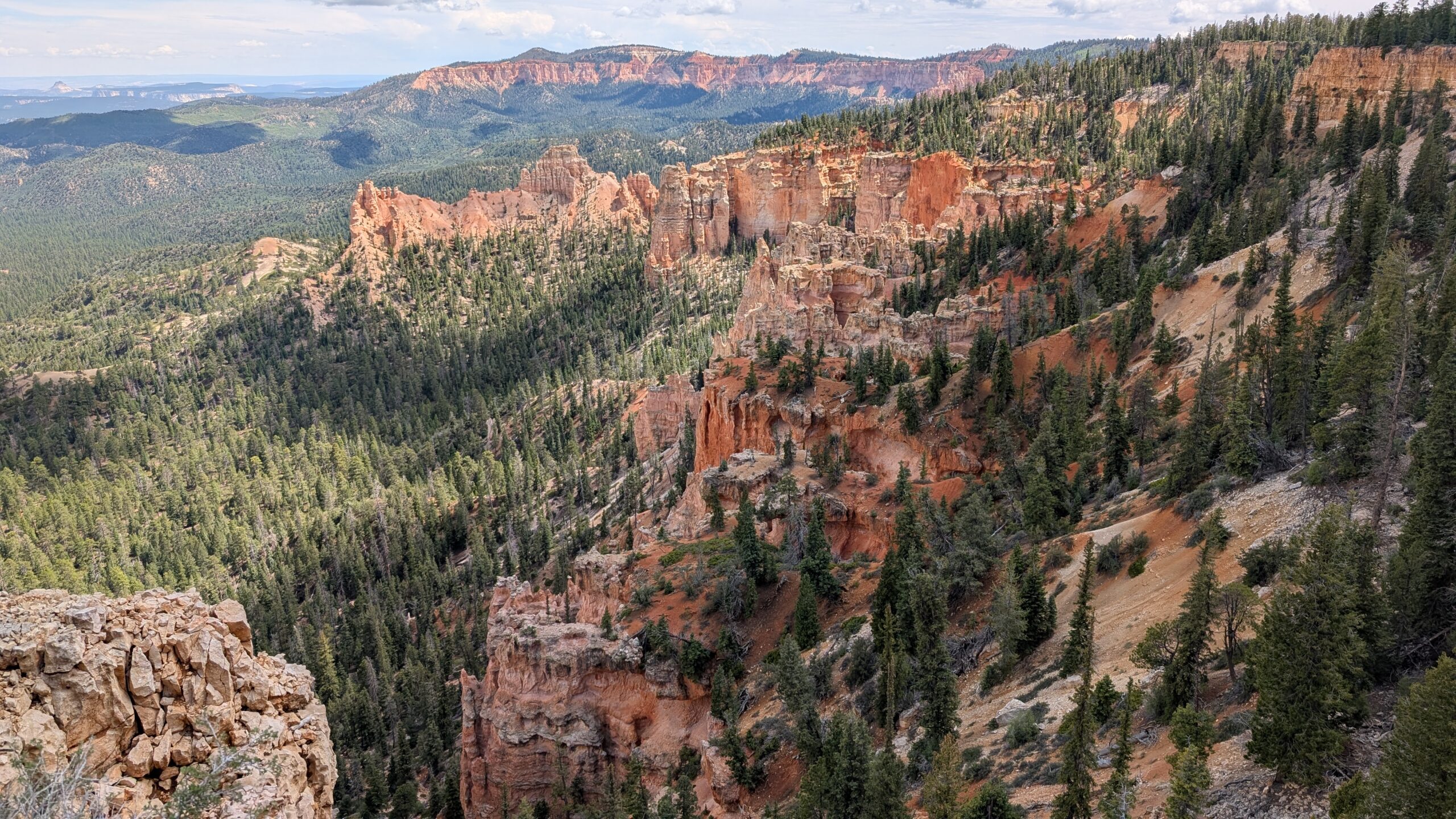
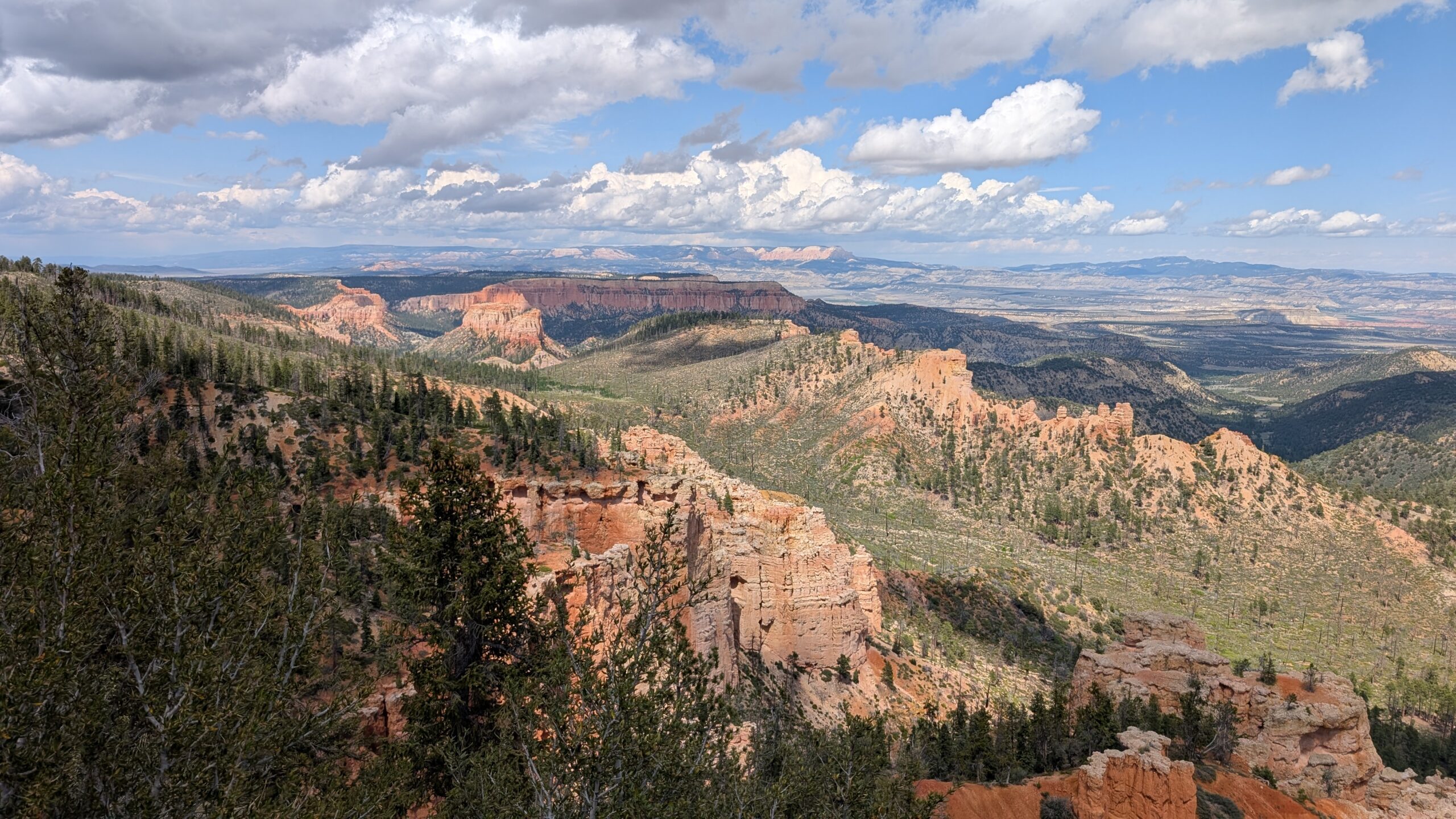
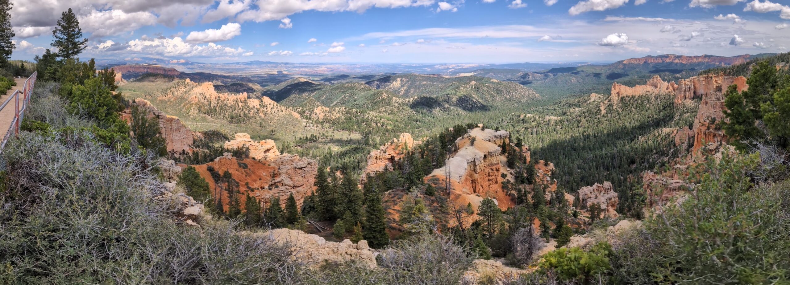
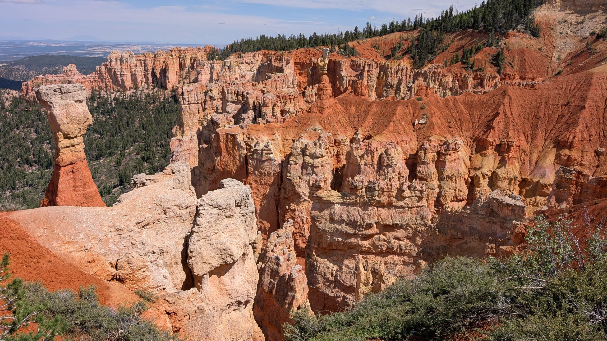
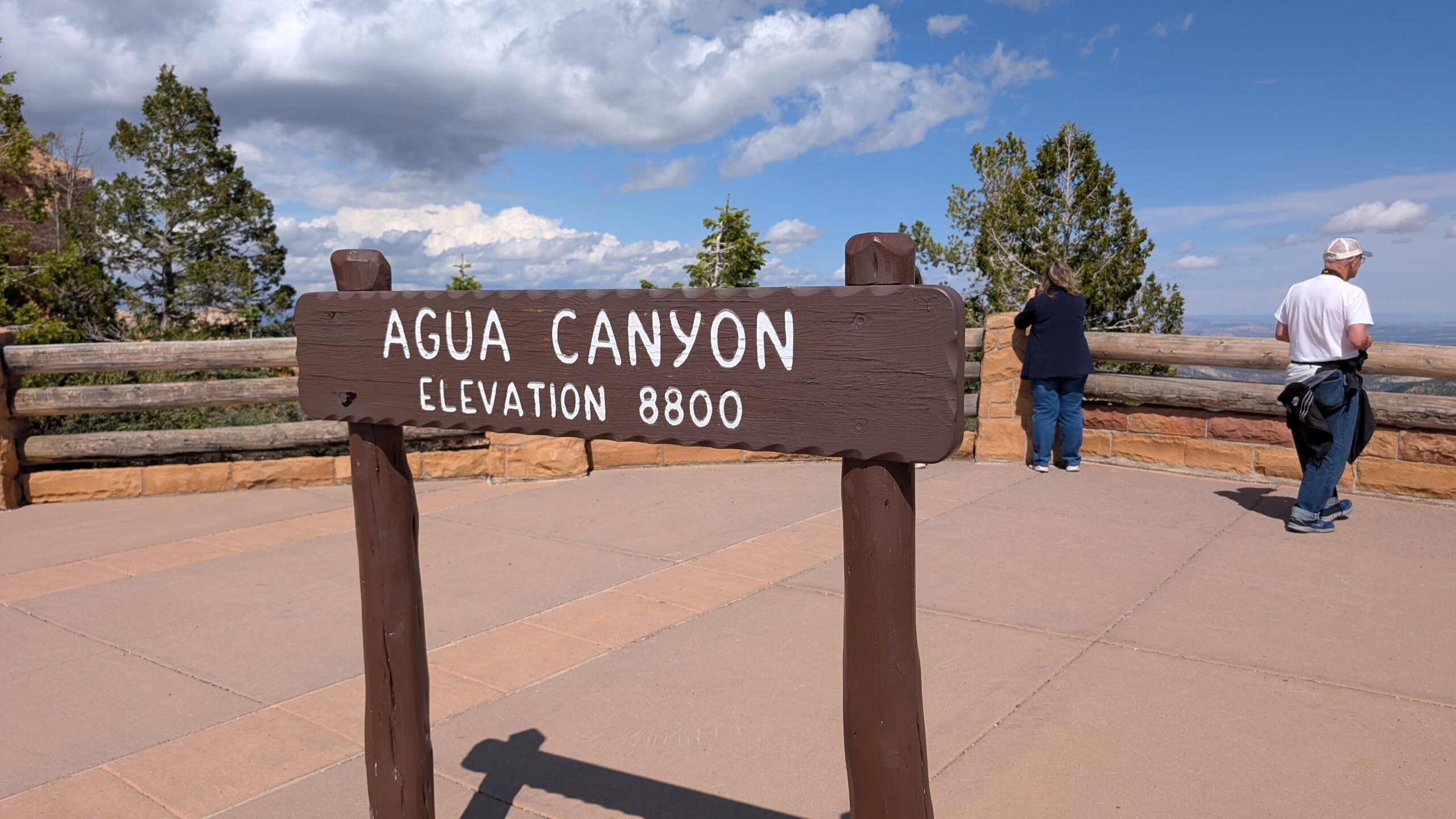
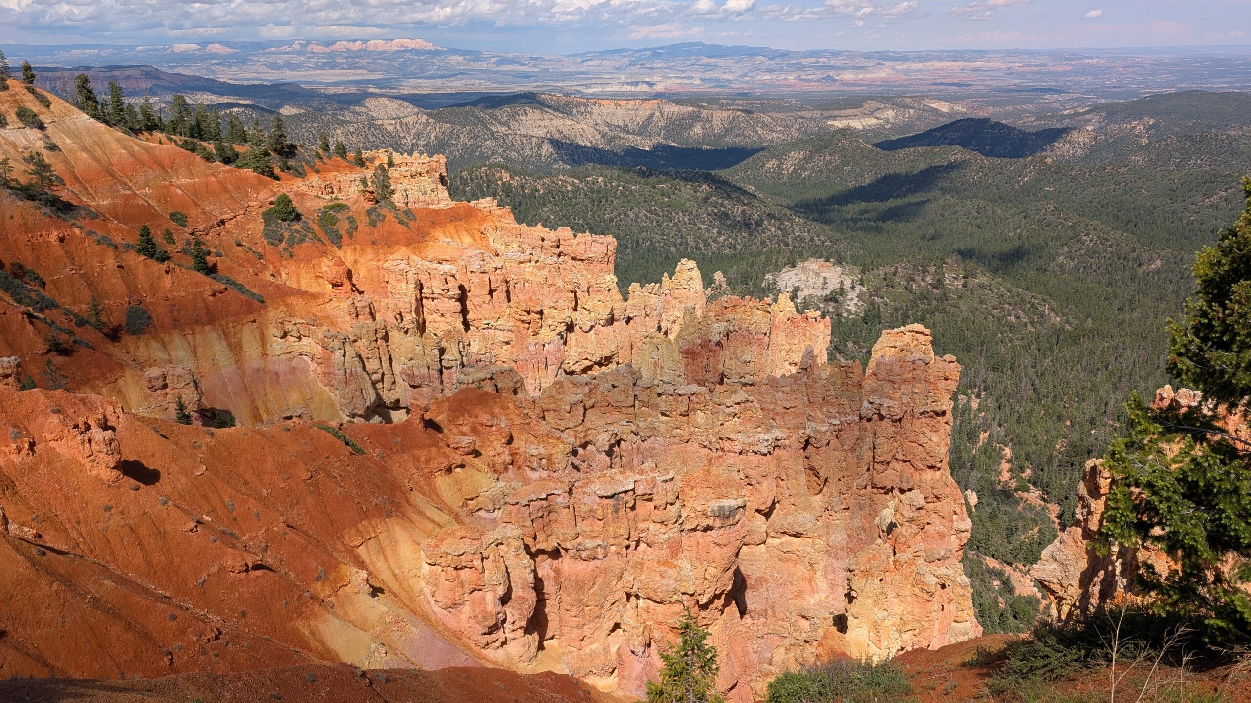
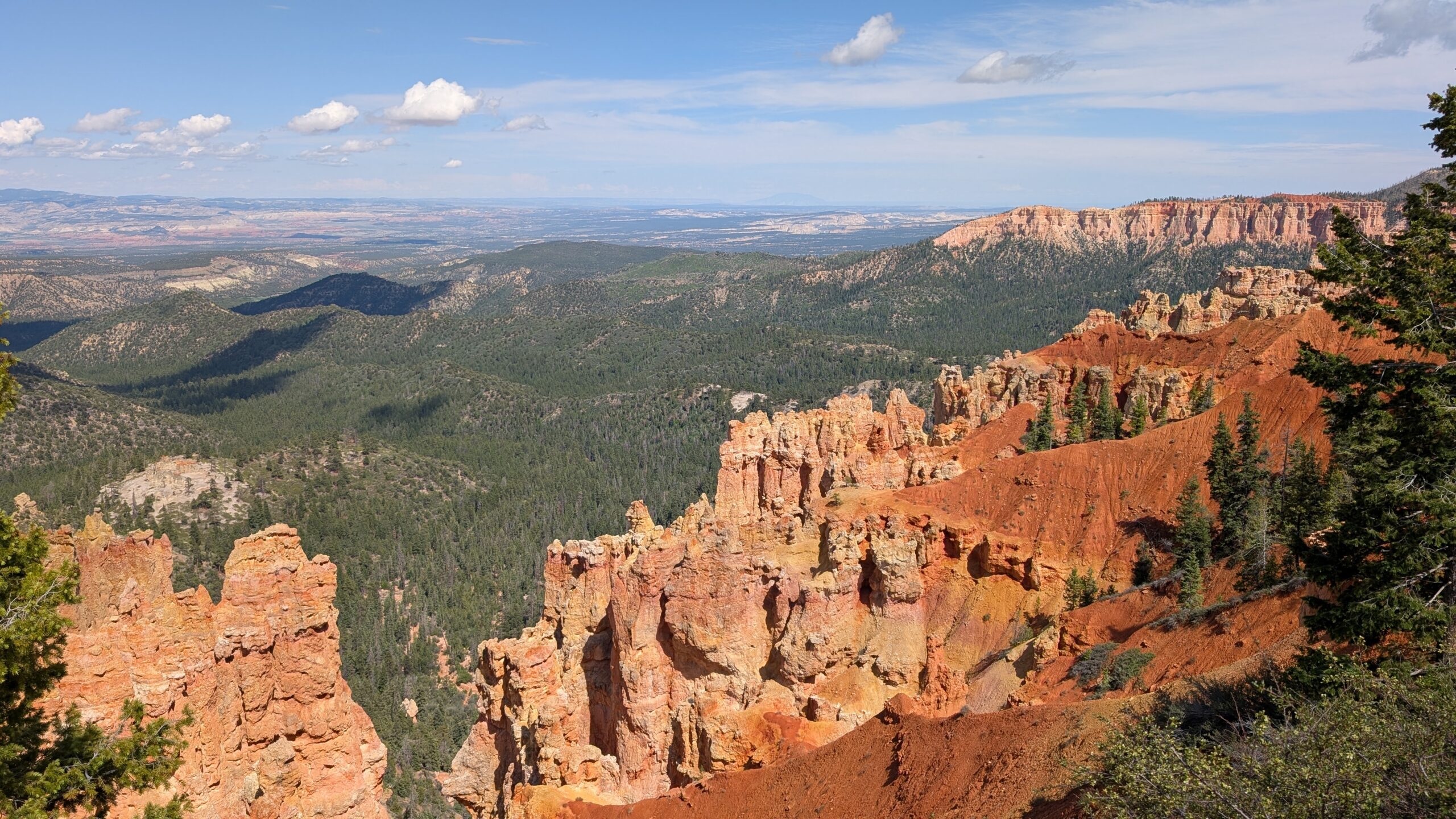
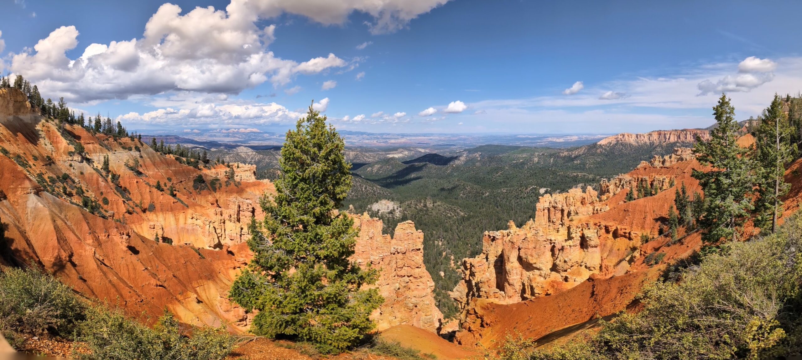
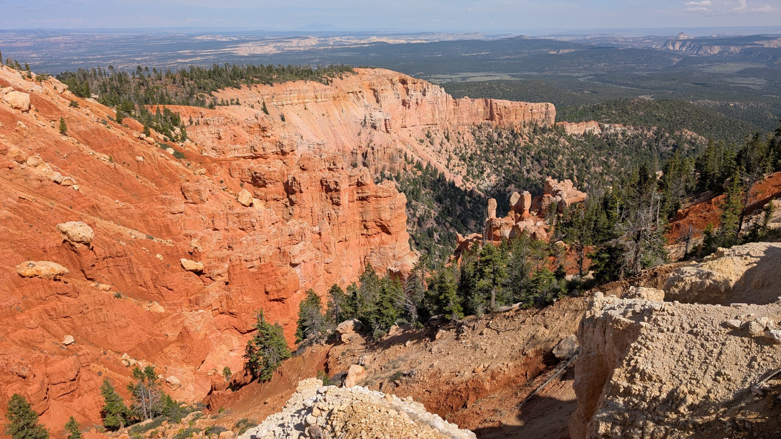
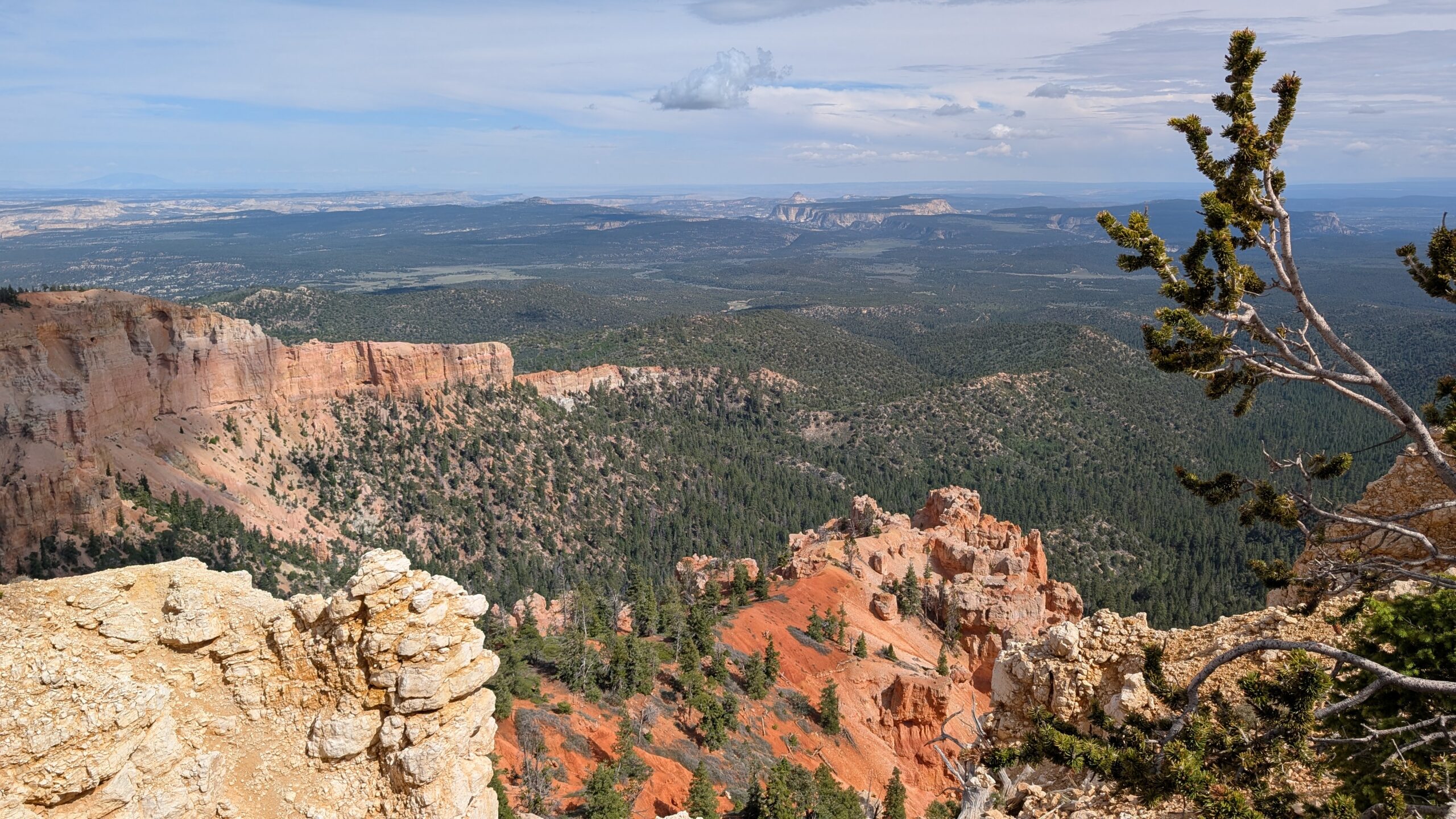
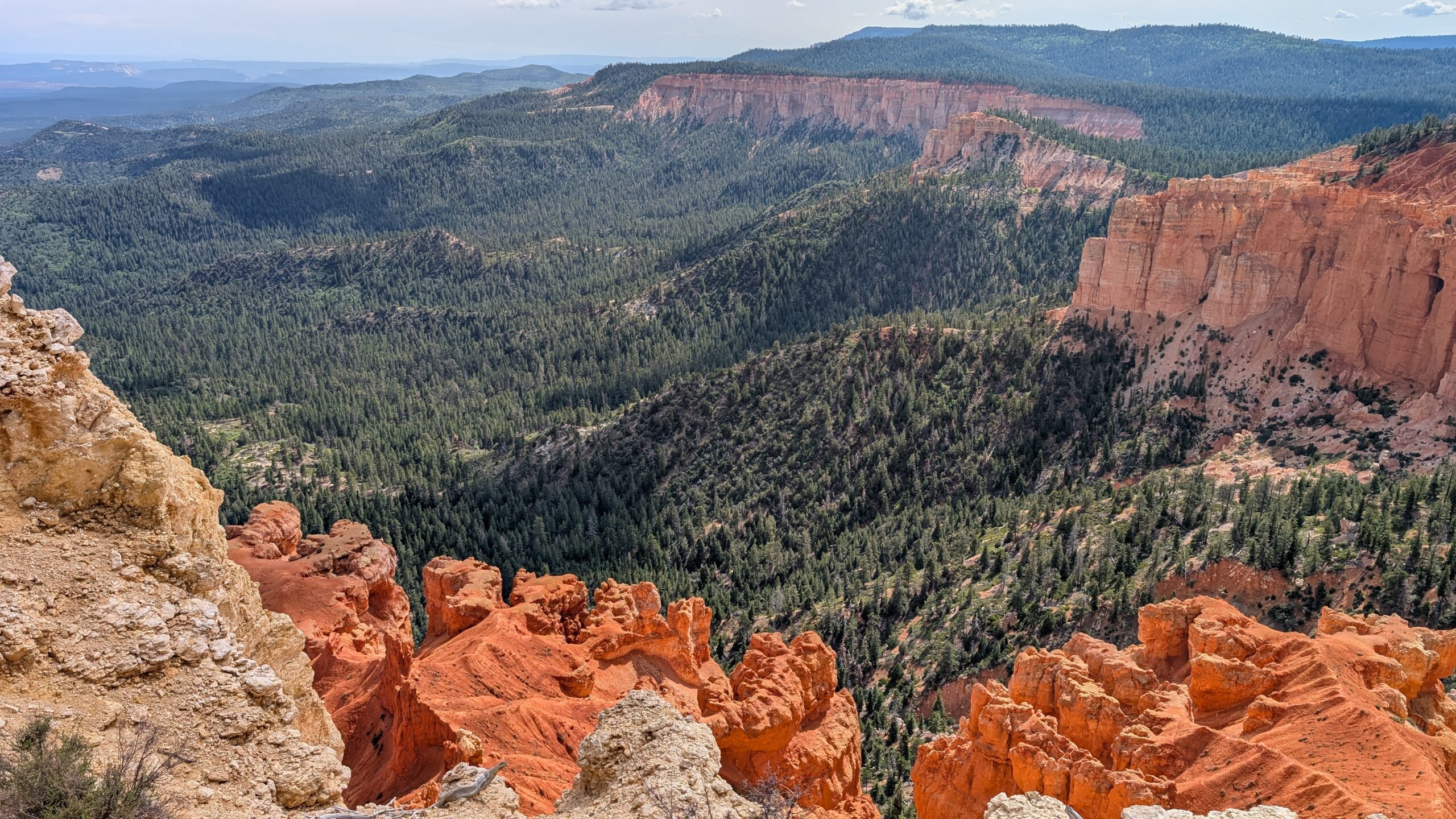
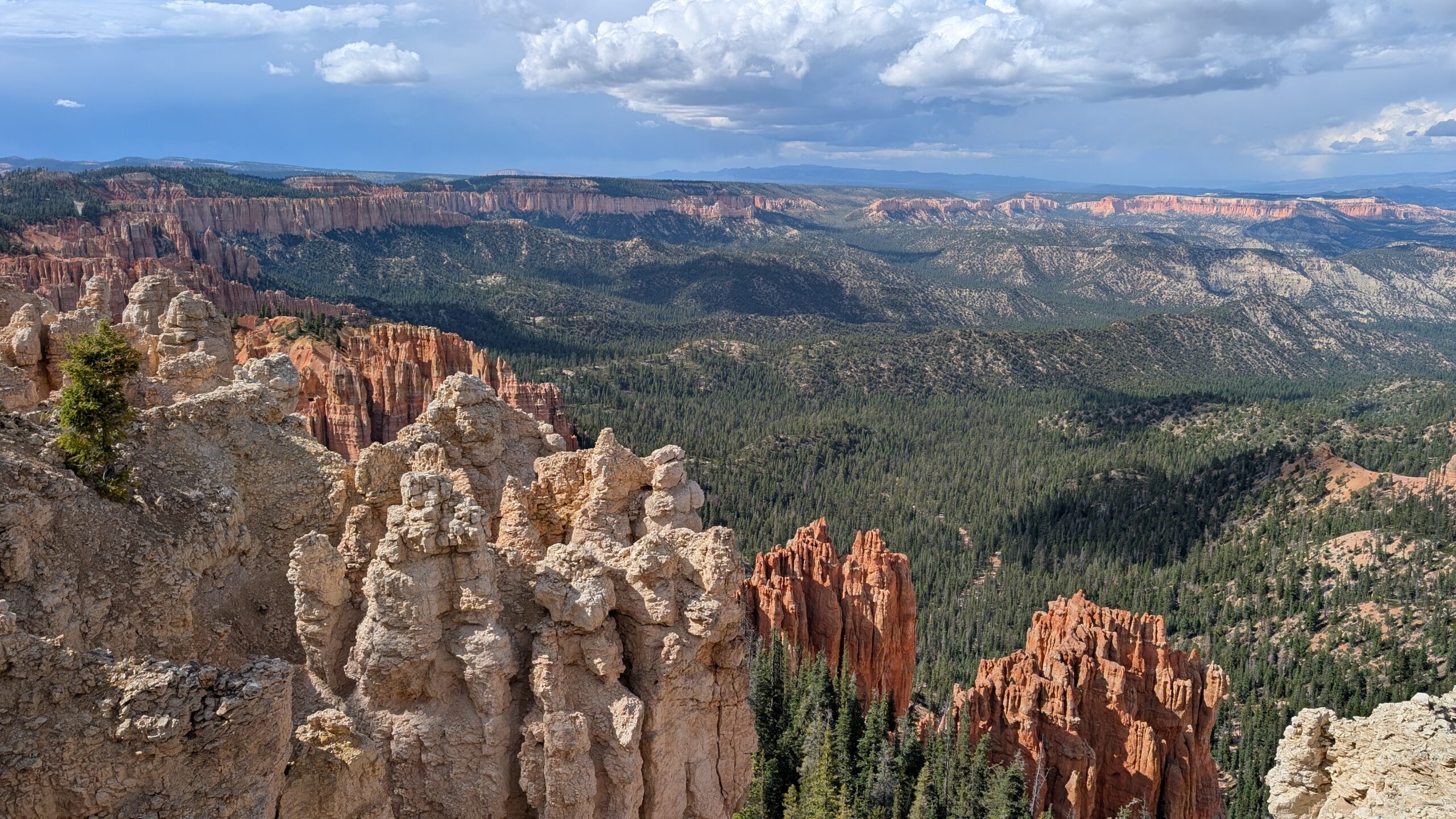
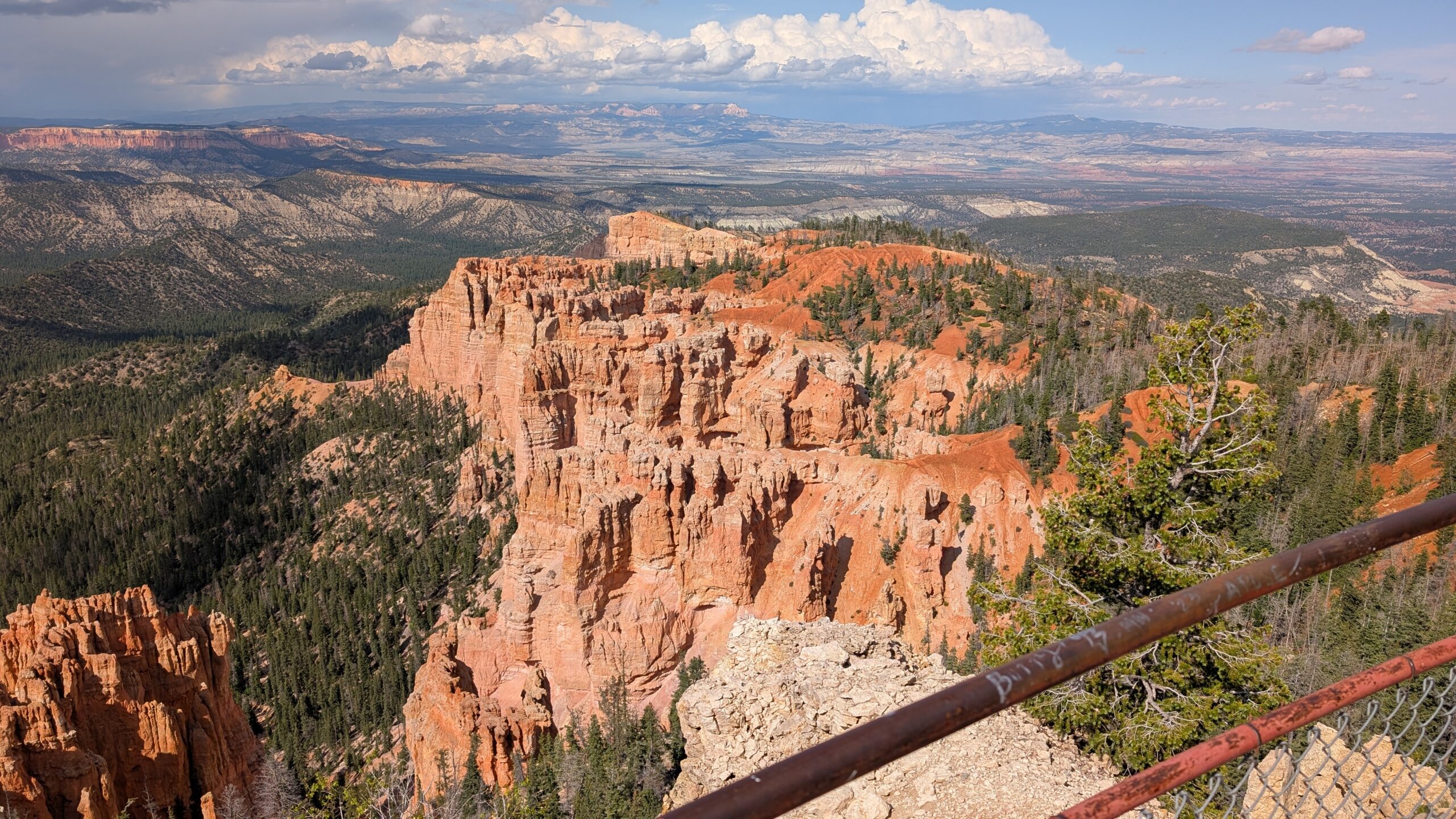
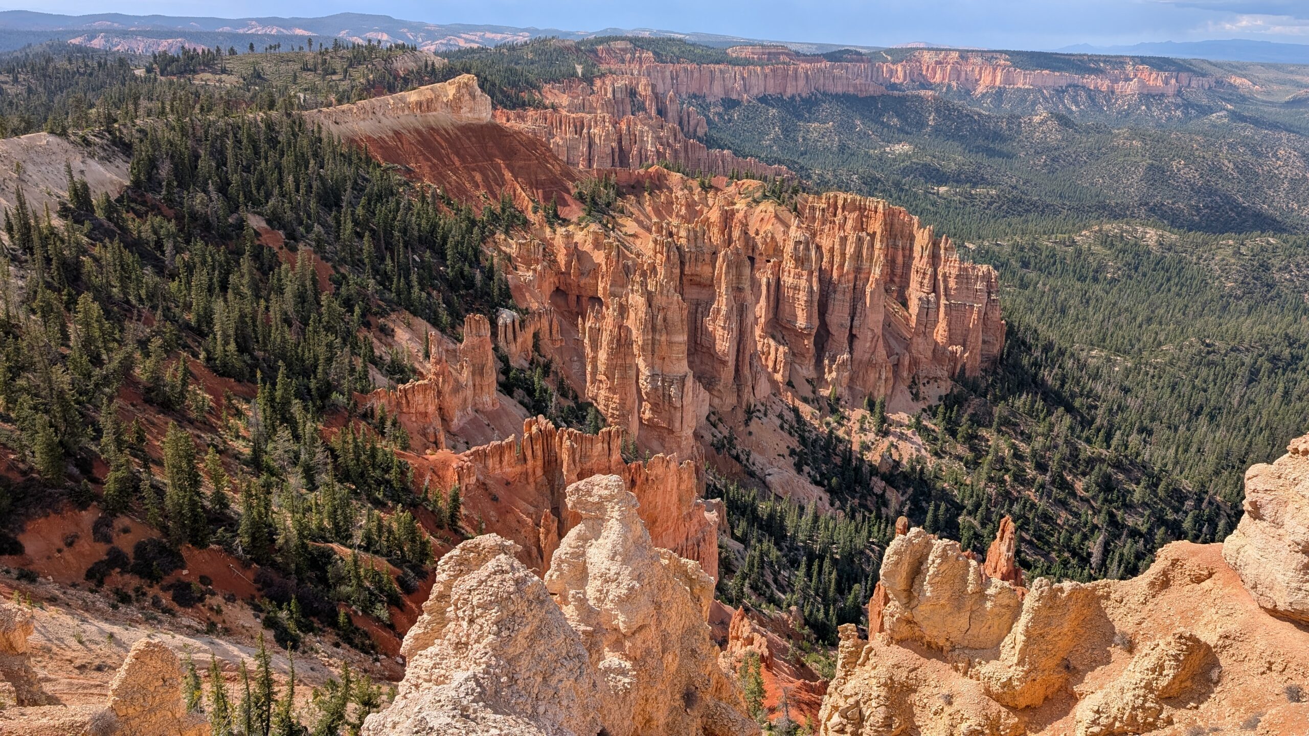
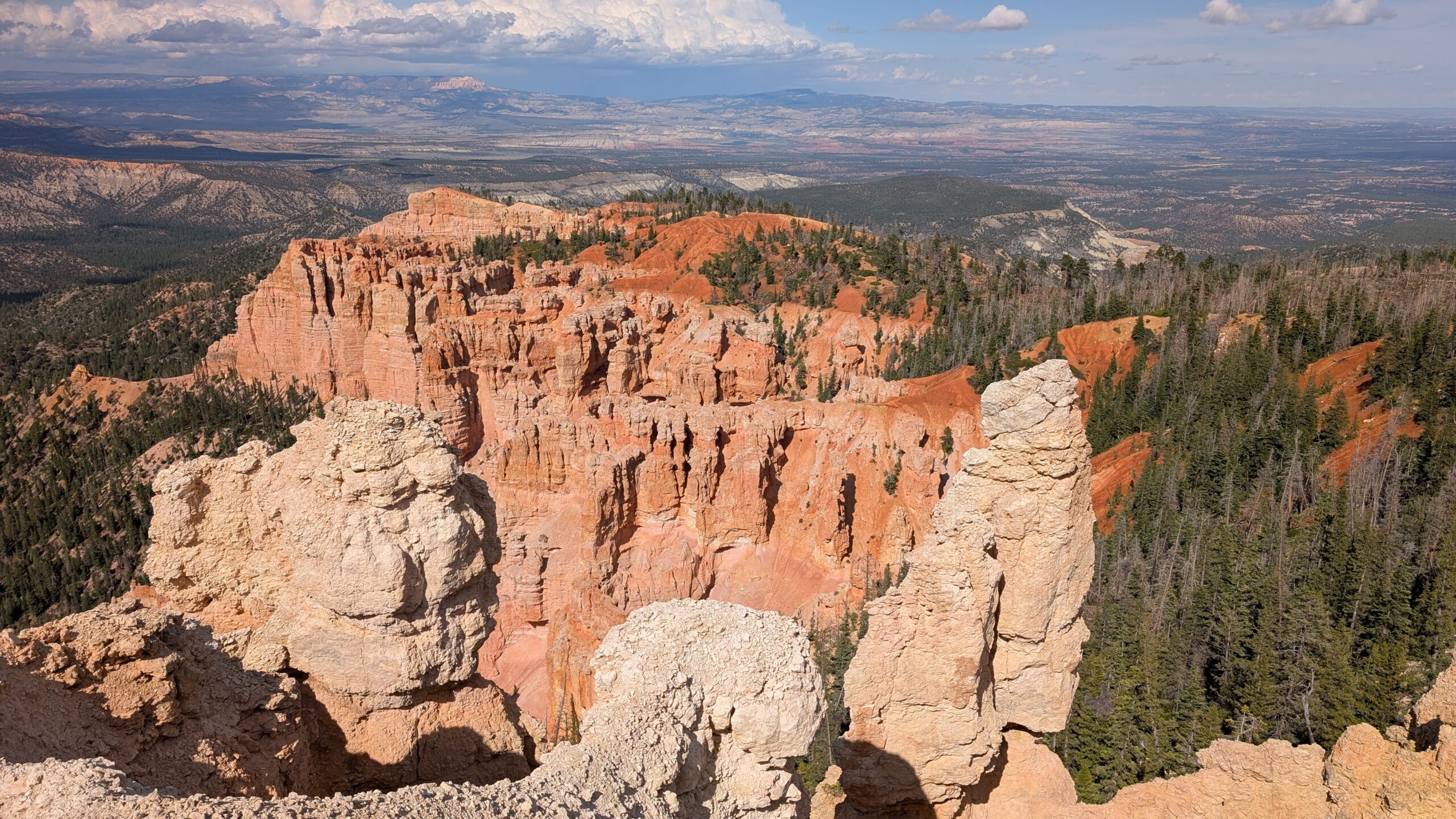
After a very brief stop at the Bryce Canyon Visitor Center, we headed to all of the vistas along the way, except for Sunrise Point. We stopped at them all in order, and I was quite surprised at how each one had something different to offer in terms of scenery. It definitely isn’t like Grand Canyon, where you can drive for miles and basically have the same view because of how huge it is. Bryce Canyon offers quite different views at every vista. I made sure to grab panoramas at each one of them that had such a view, and took many pictures which you can see in the gallery.


The panoramas don’t show up with the same kind of view in the gallery, so I put them all in there to make it easier to see it as I did.
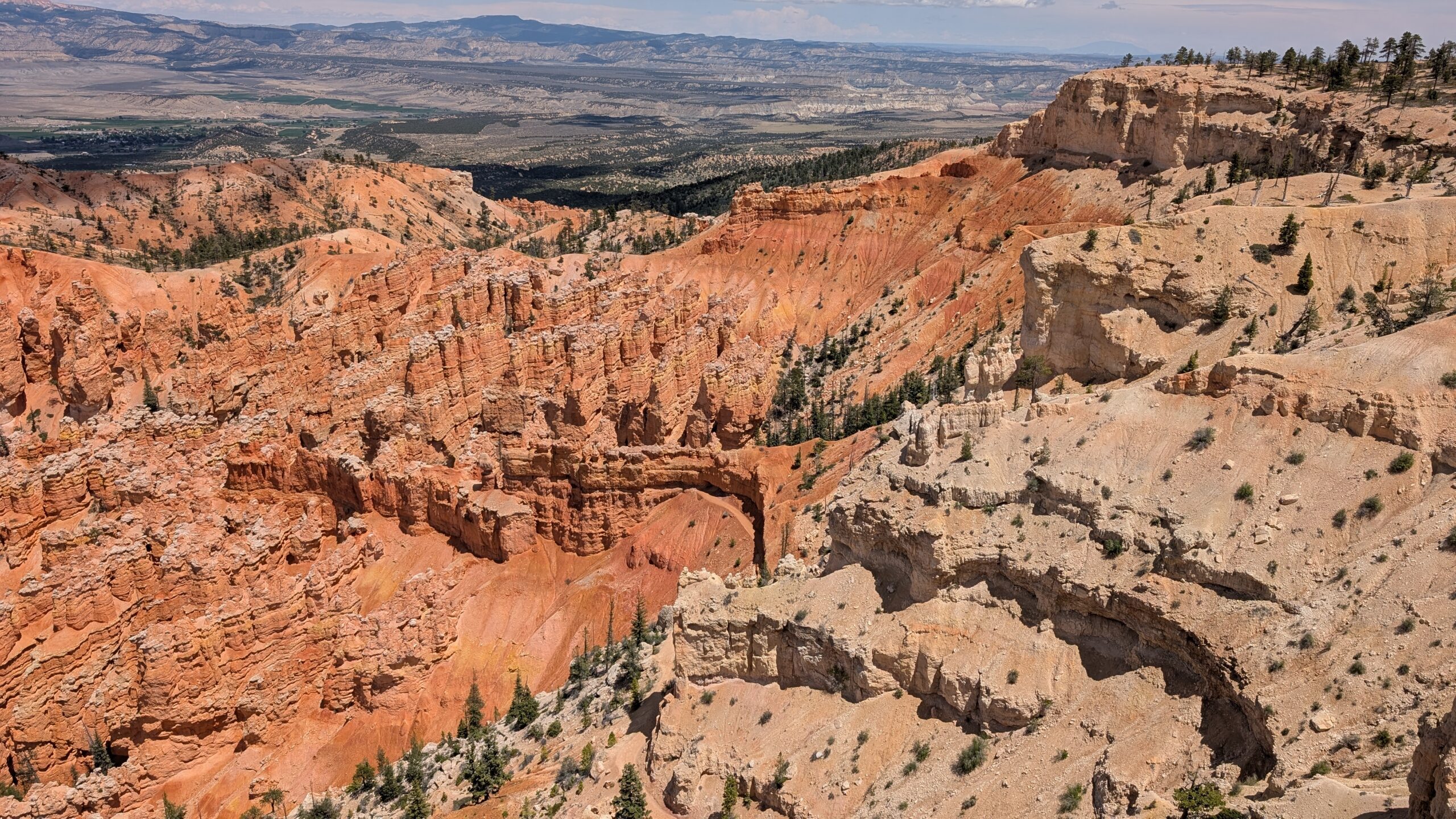
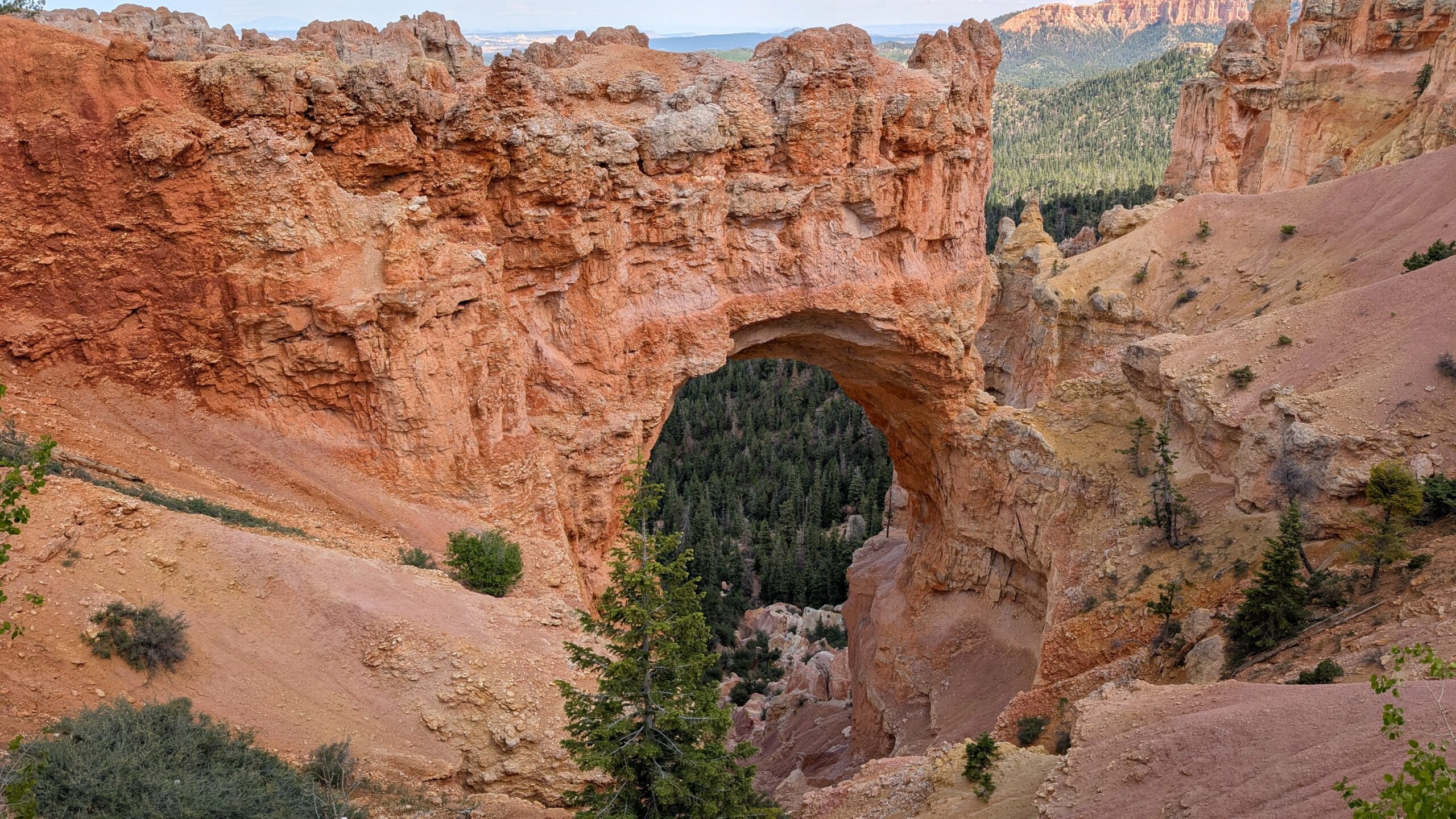
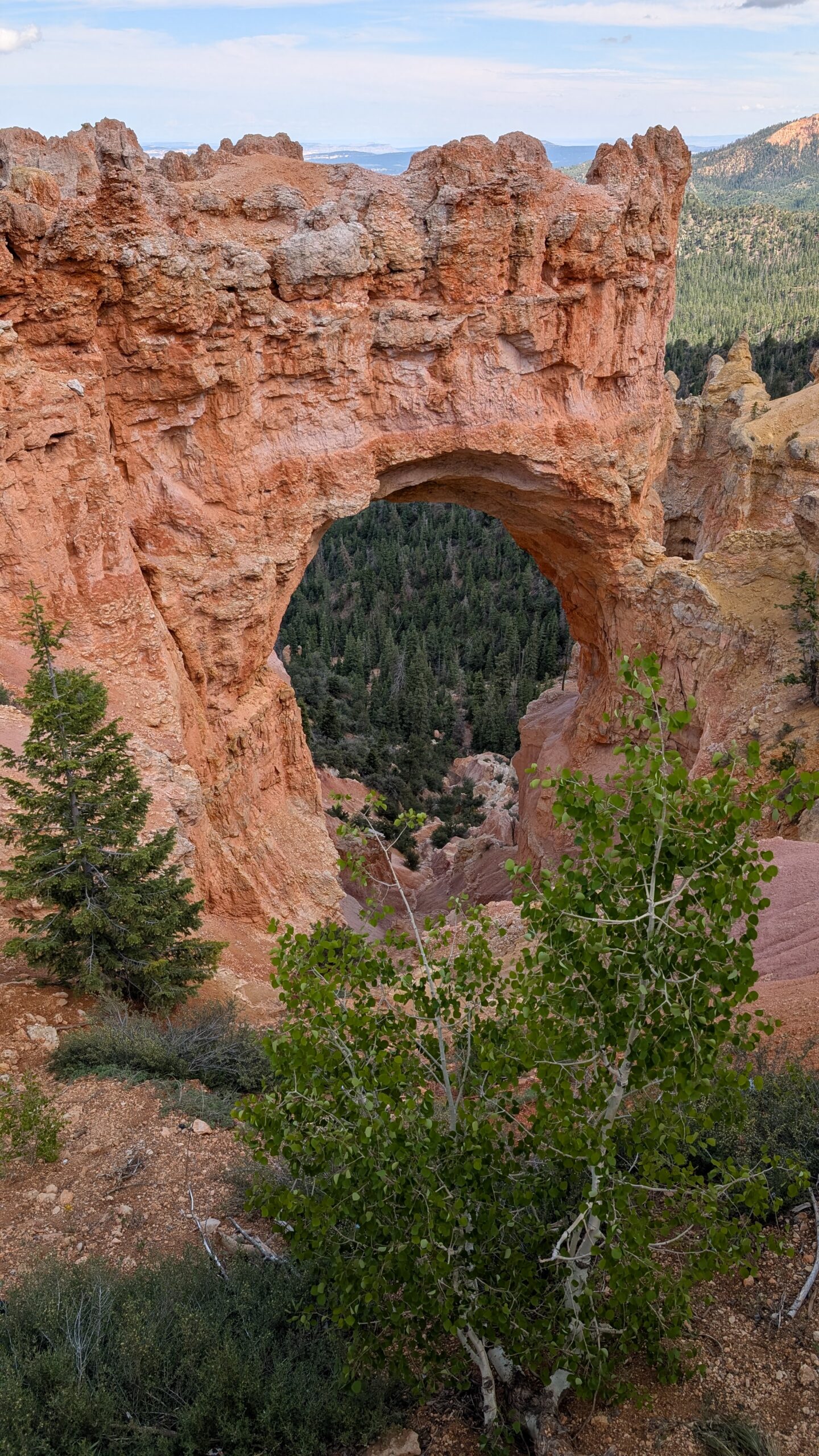
There were a few specific features that I thought were interesting and took some more focused shots of. The most obvious was the natural bridge. We’re going to Arches National Park later in this trip, which is the king of these kinds of features, but it’s still cool to see.

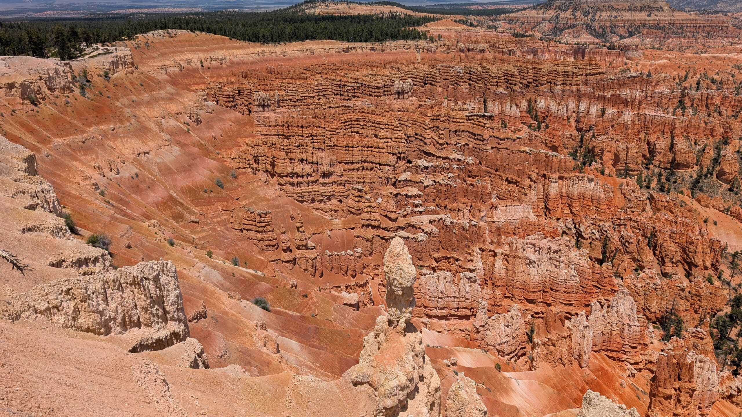
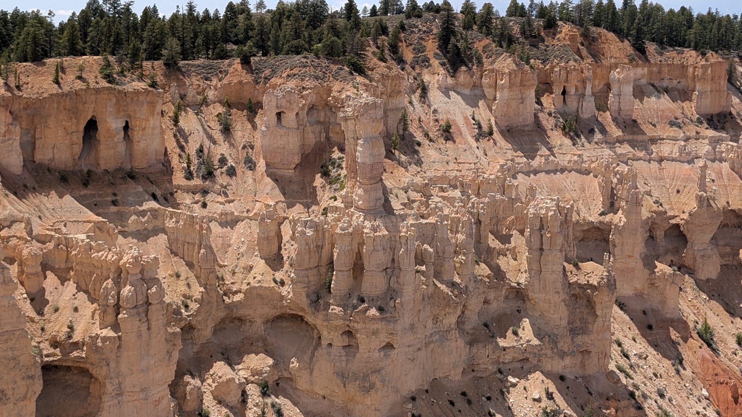
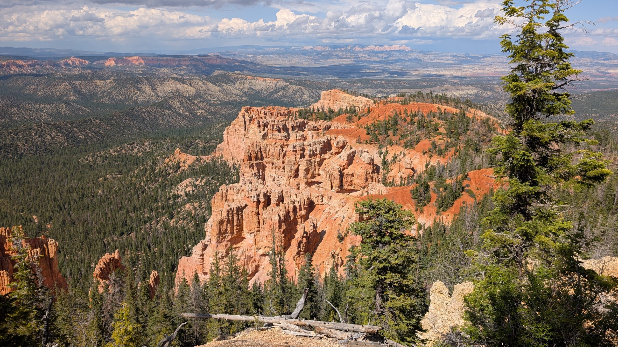
There was an area that had pillars in white that reminded me of the huge Greek churches made of similar colored stone. Having been to Mesa Verde, it’s almost like they built it here. This is a great example up close of the hoodoos that cover this place.

What really ties it together is when you see just the sheer scale of these formations in Bryce Canyon.

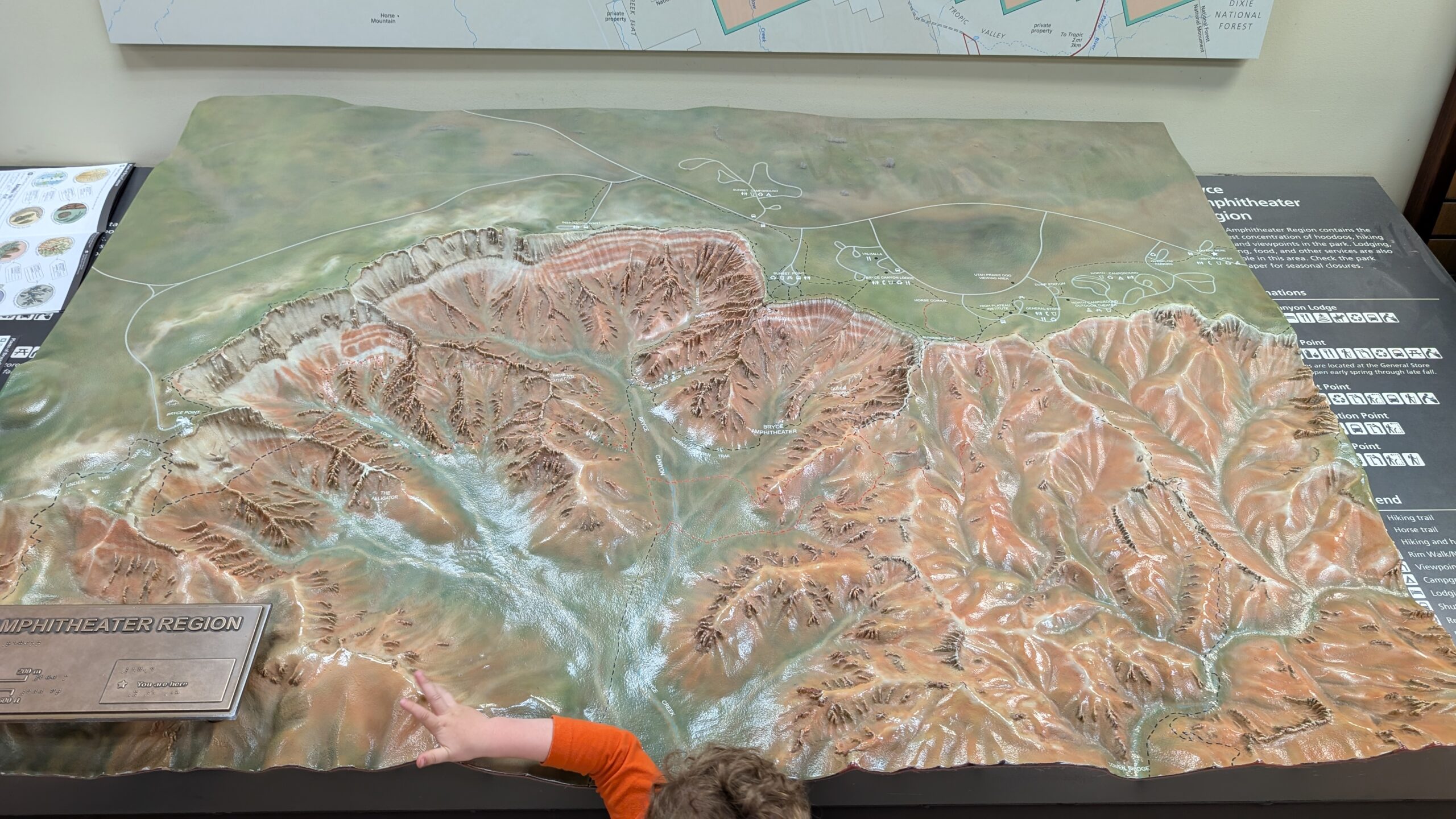
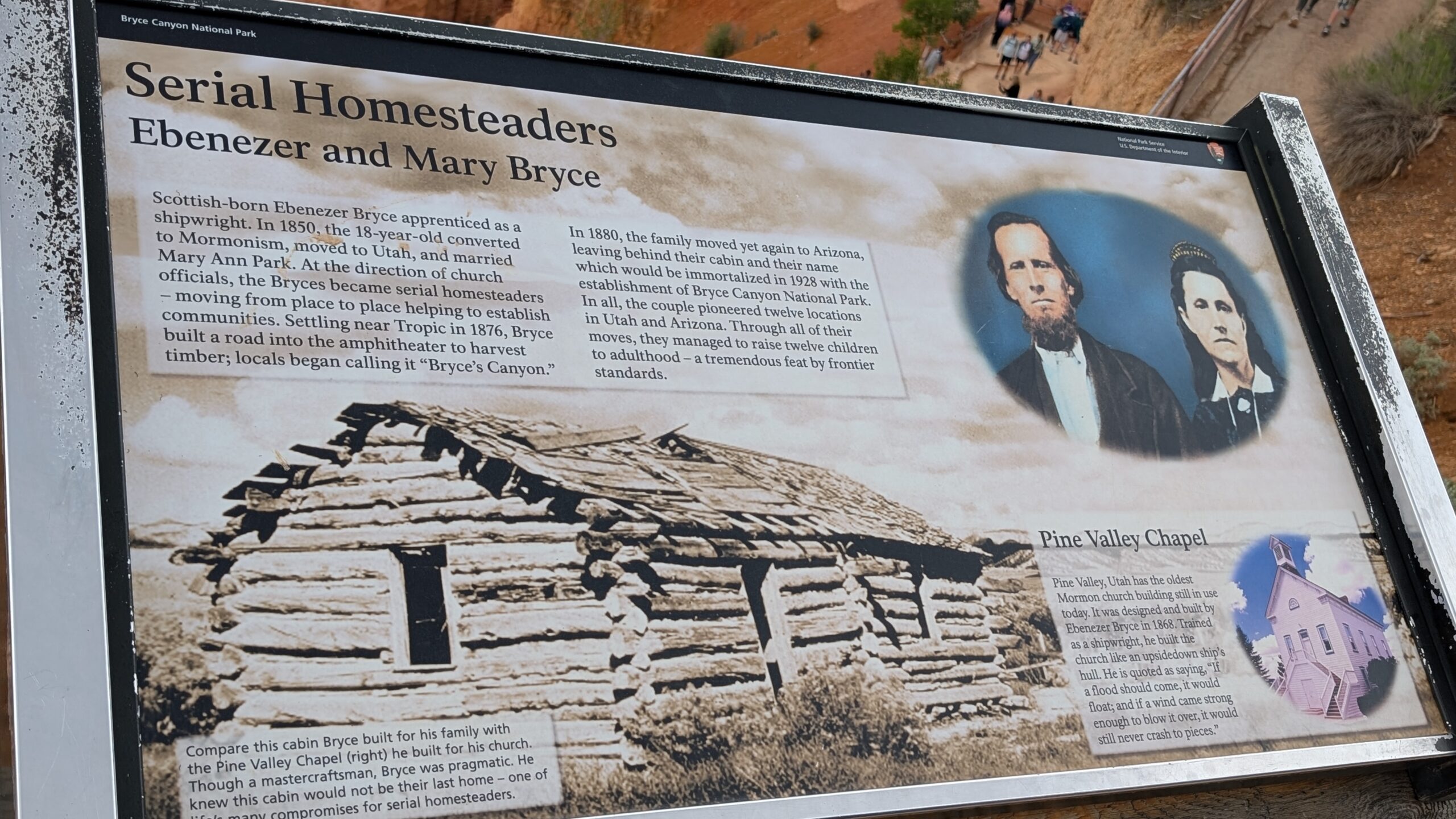
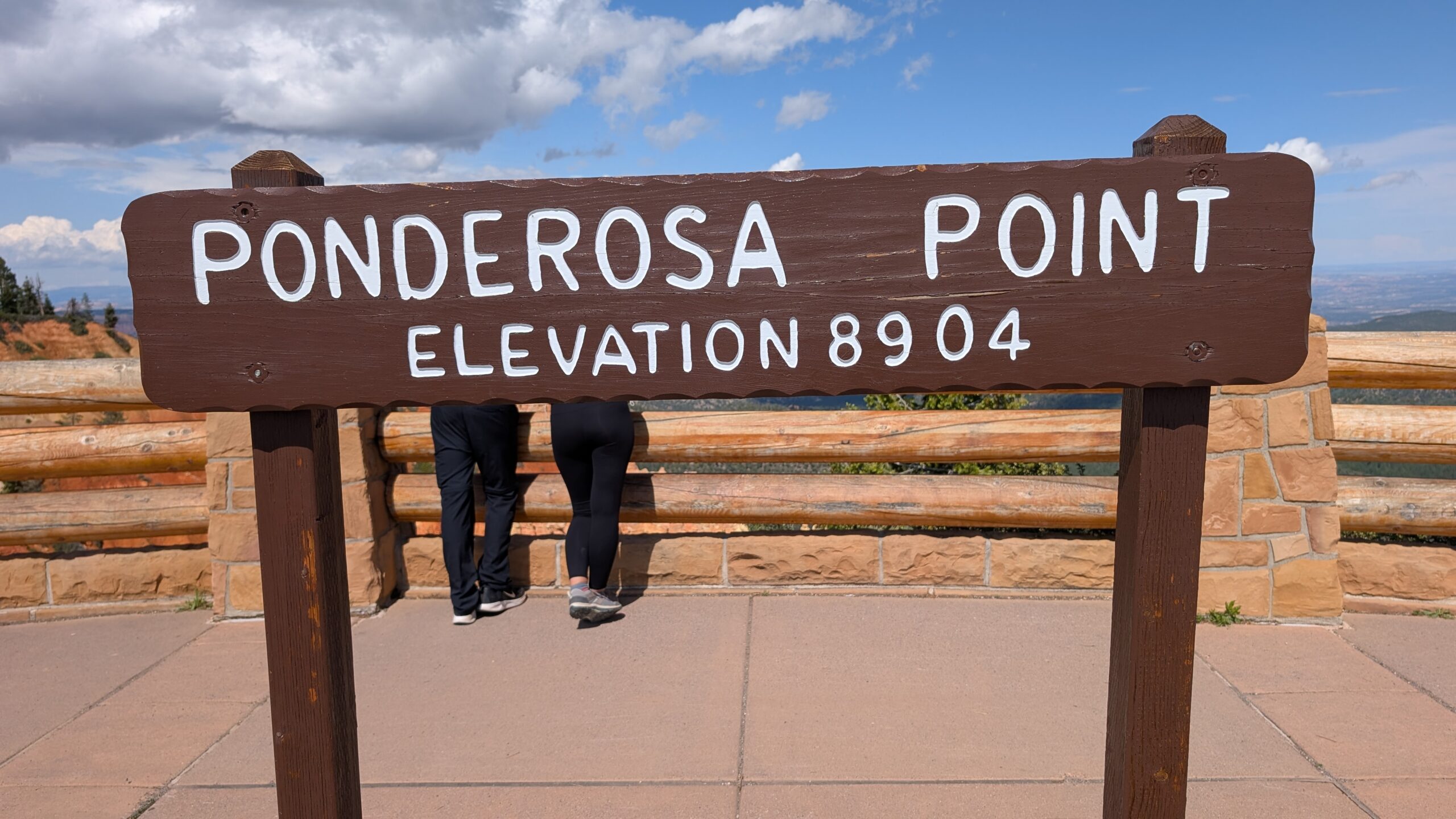
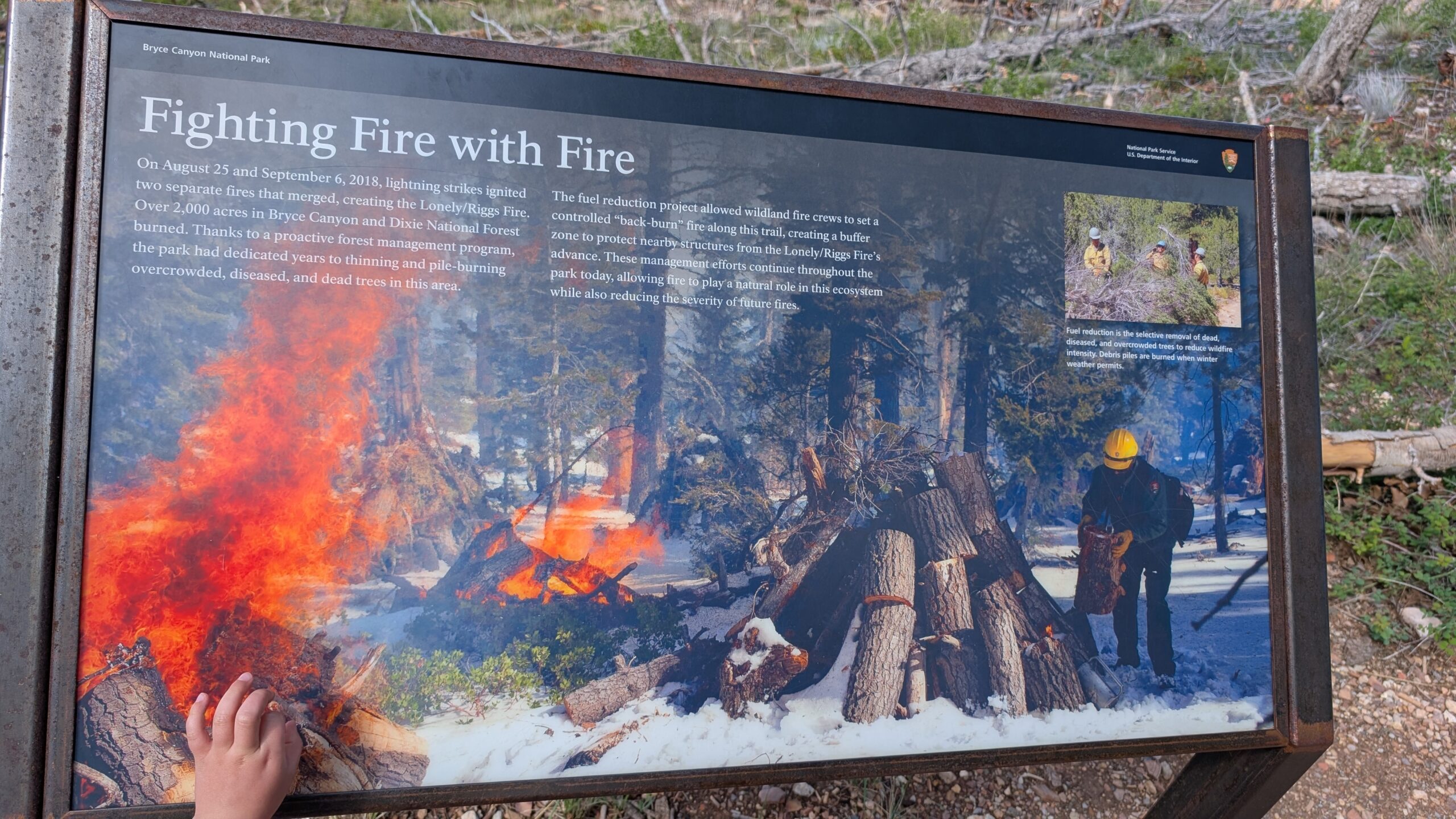
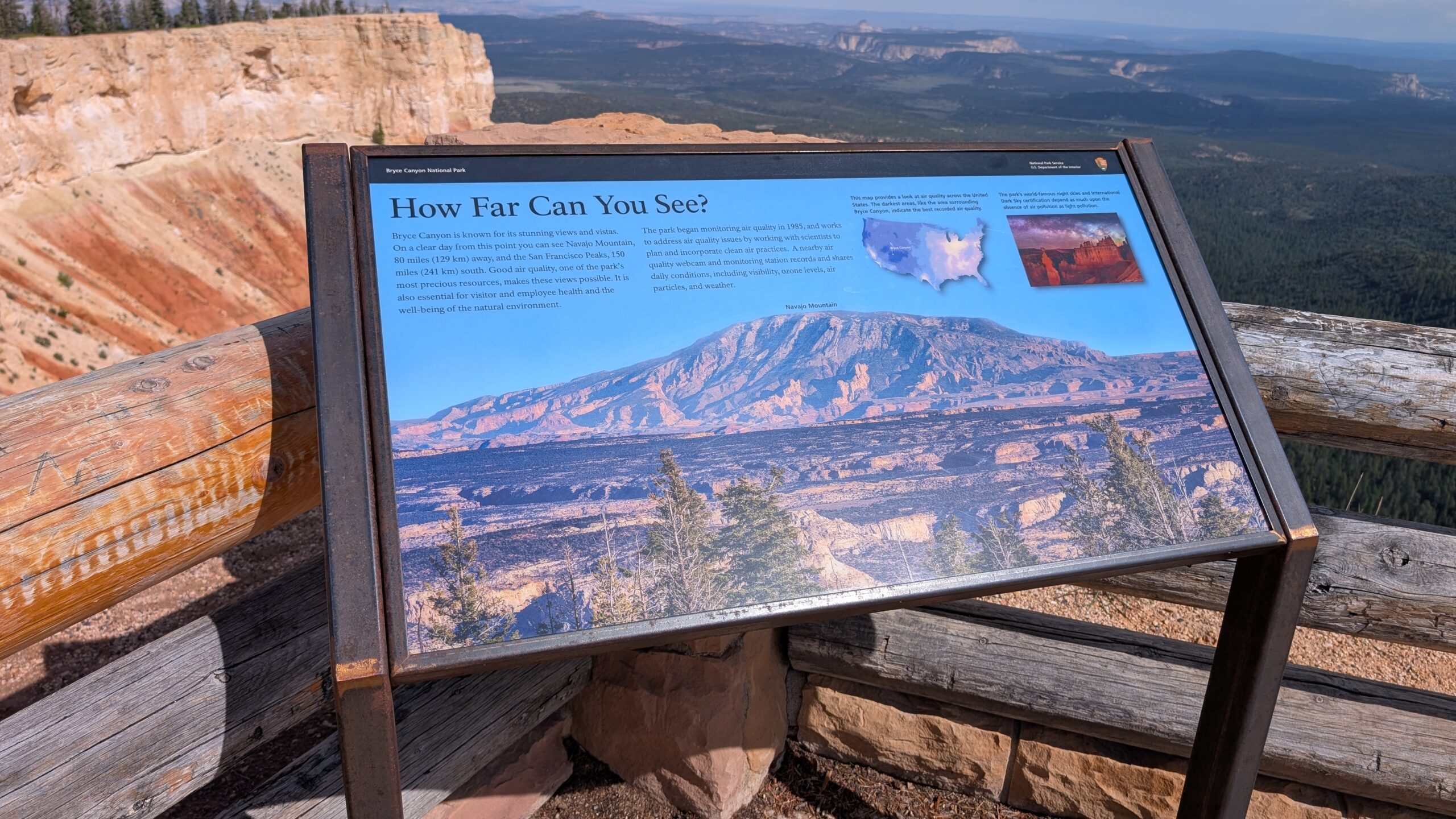
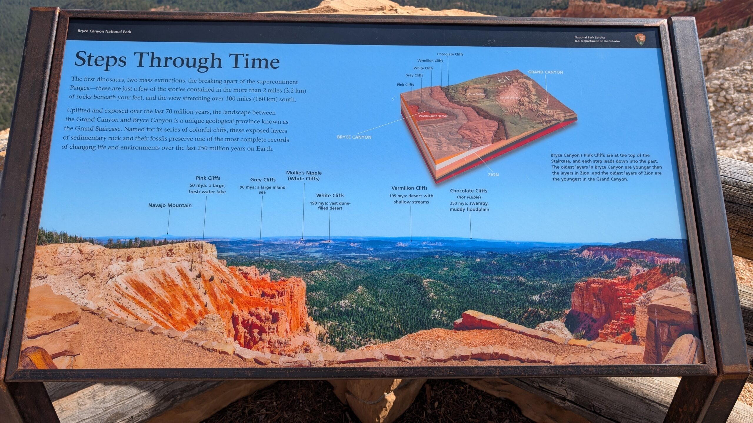
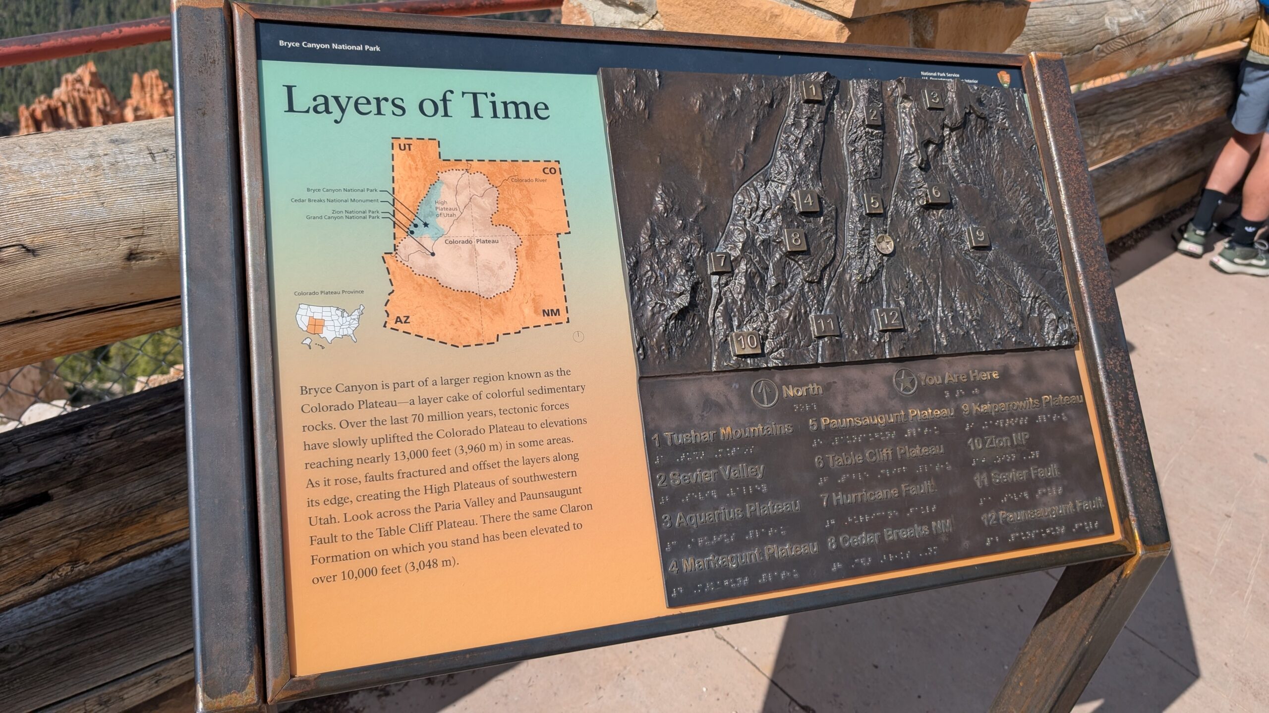
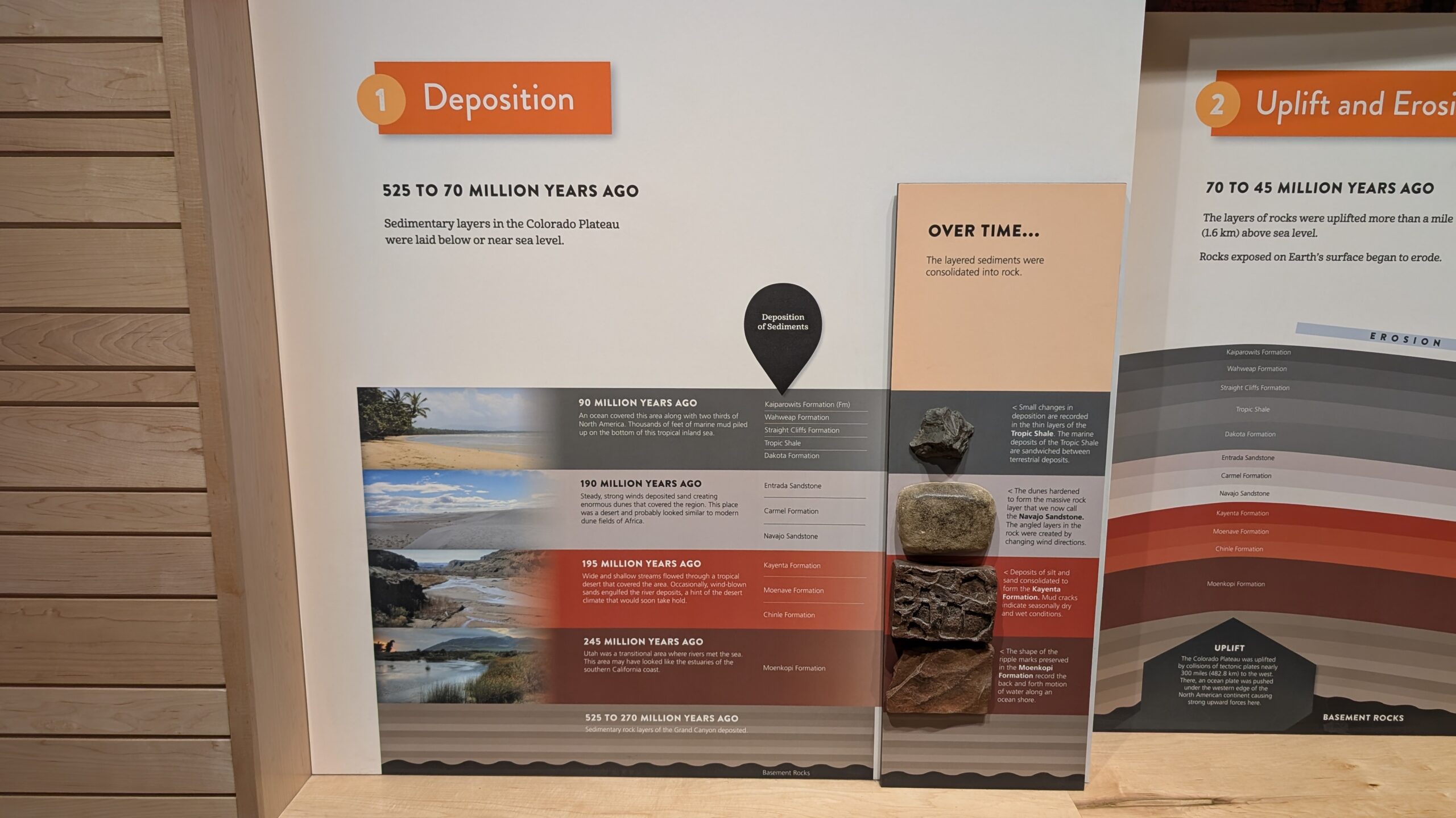
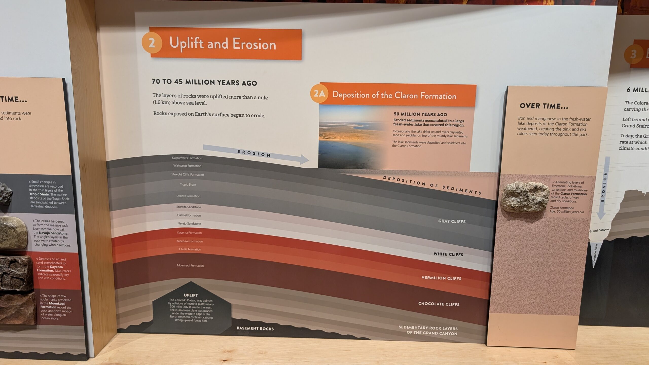
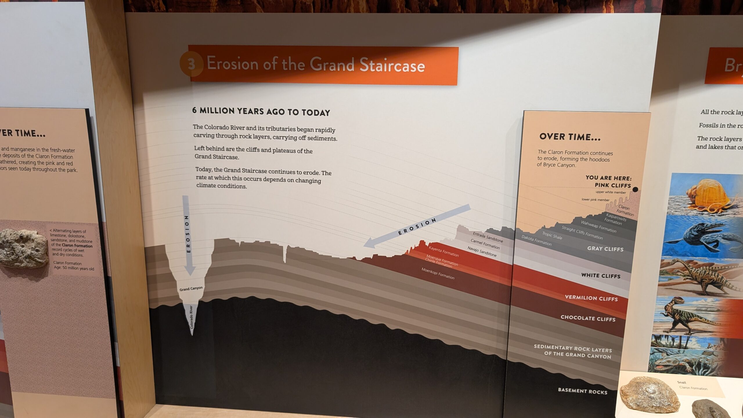
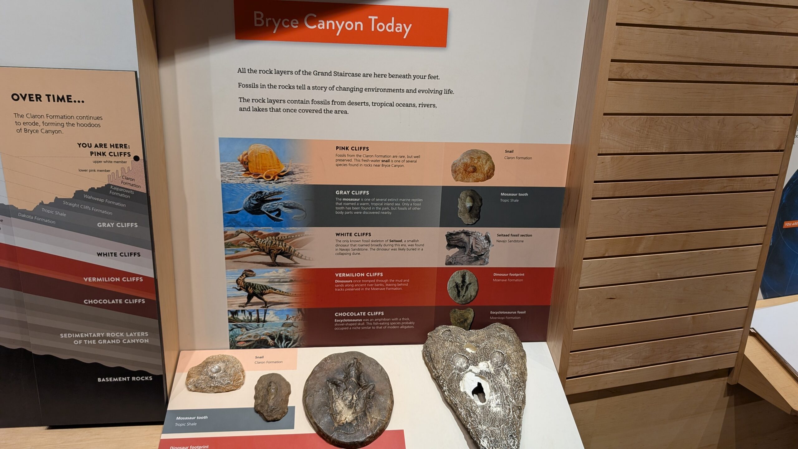
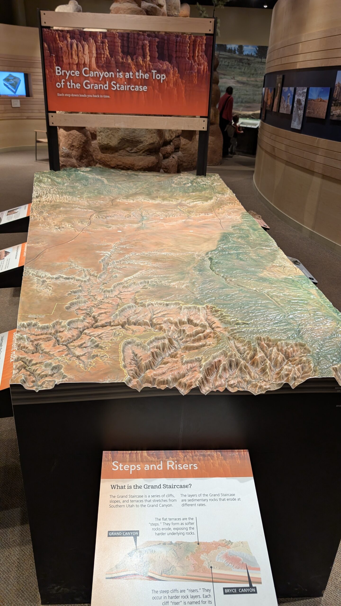
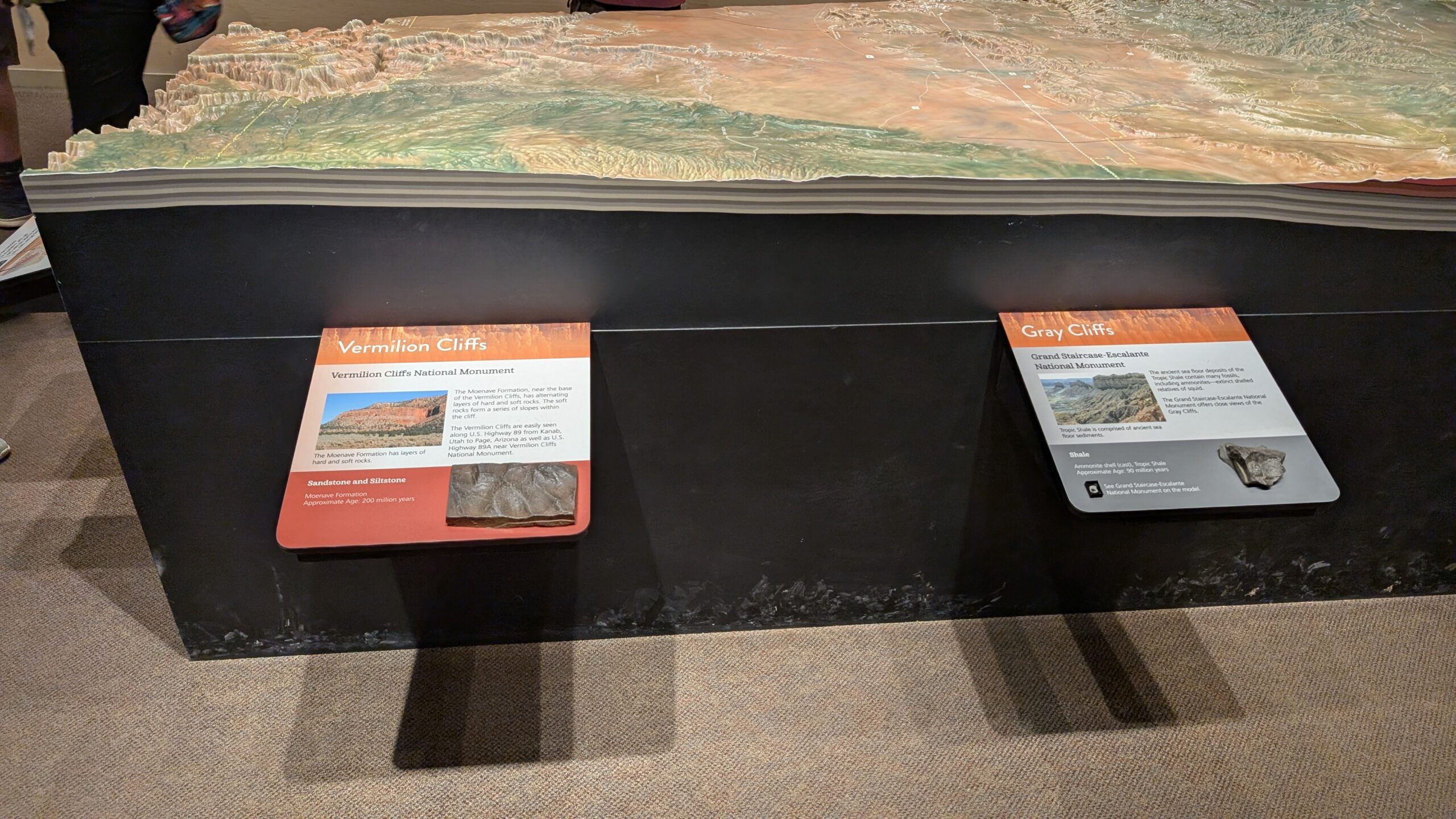
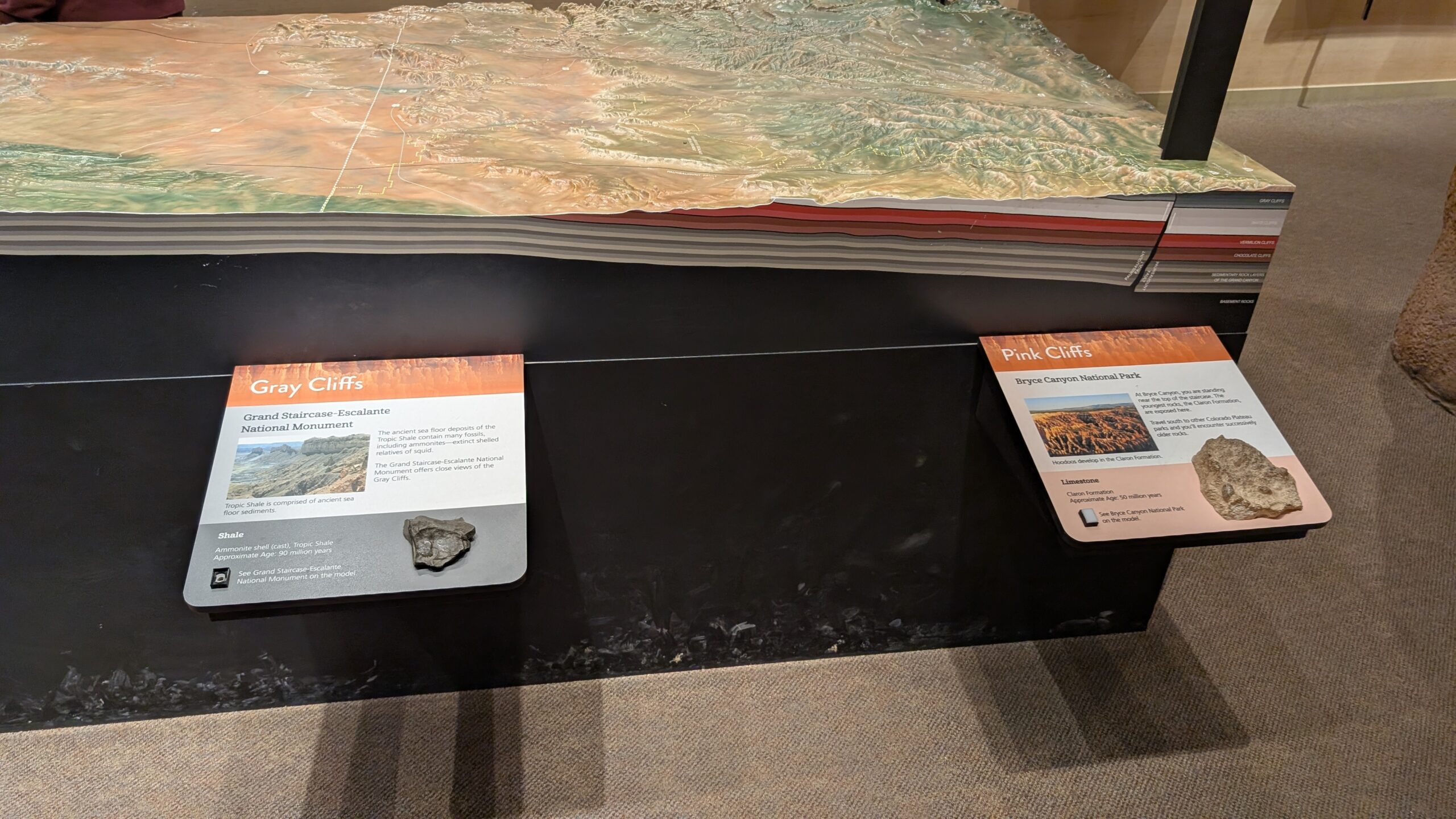
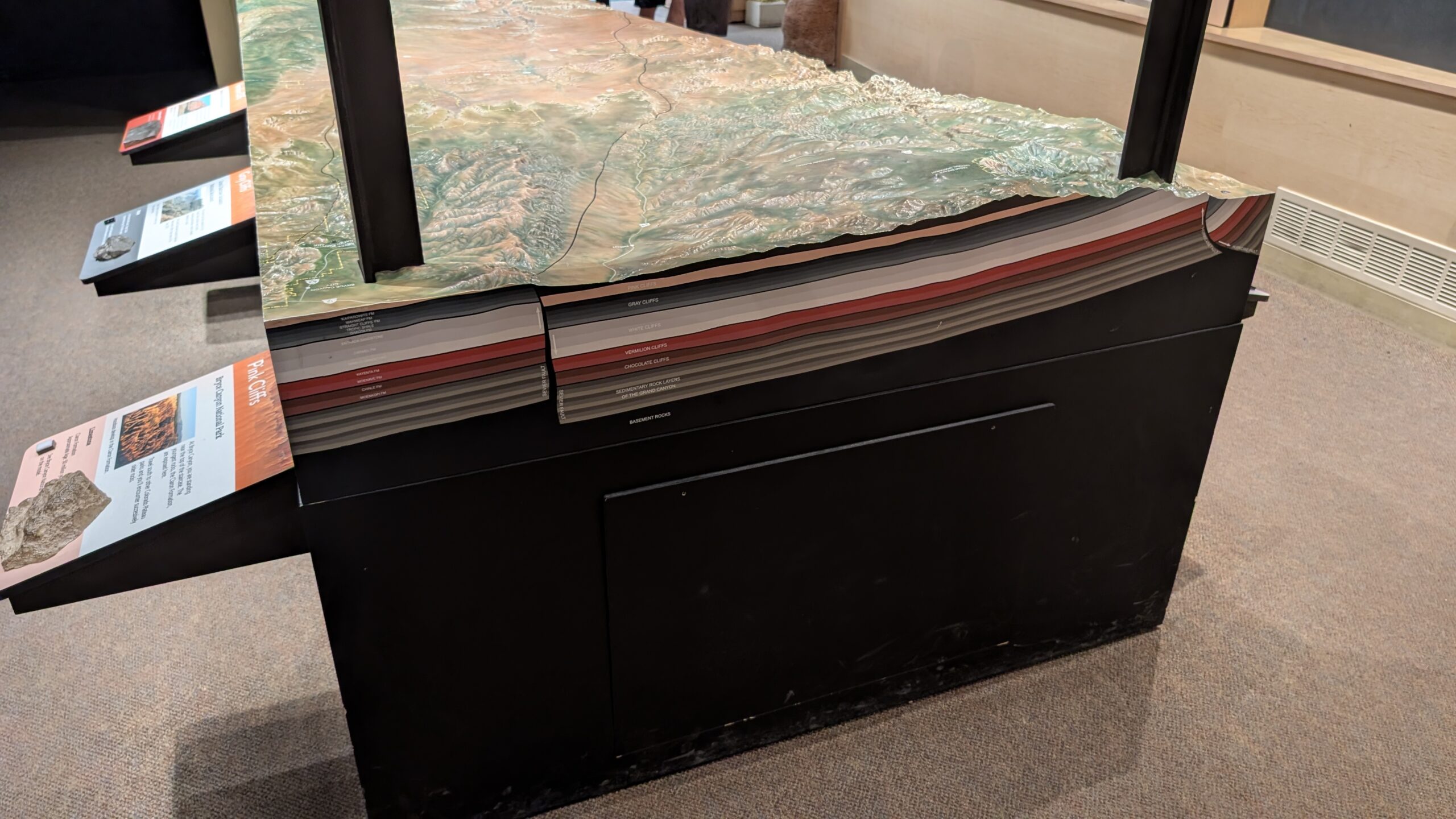
After we did the Ponderosa trail at the end of the park road, we headed back to the visitor center. This time I had a chance to look at the exhibits, and there were displays that really made it easy to understand the geological process that made not only Bryce Canyon, but also Zion, and Grand Canyon. Central to it was this table that had the whole plateau on it.

The key part here is the edge of the table, because that’s showing the layers of rock at the particular parts of the plateau, starting with the Grand Canyon above, and ending with Bryce Canyon a the “top” in the far back right corner of the table.

That combined with the stuff on the walls really explained it in a way that was more complete than any other explanation I had seen in any of the national parks we had been to so far. It’s crazy the combination of millions of years of sediment collecting combined with the whole plateau being shoved upward a mile and then just eroding. The whole thing laid out the way they had it in their exhibits just made sense to me.


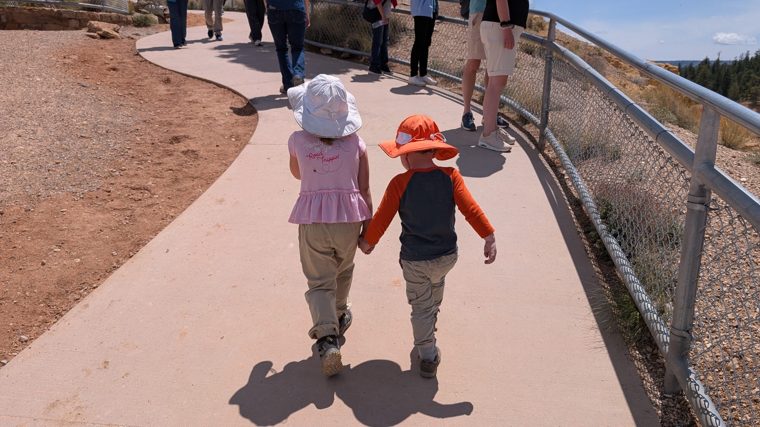
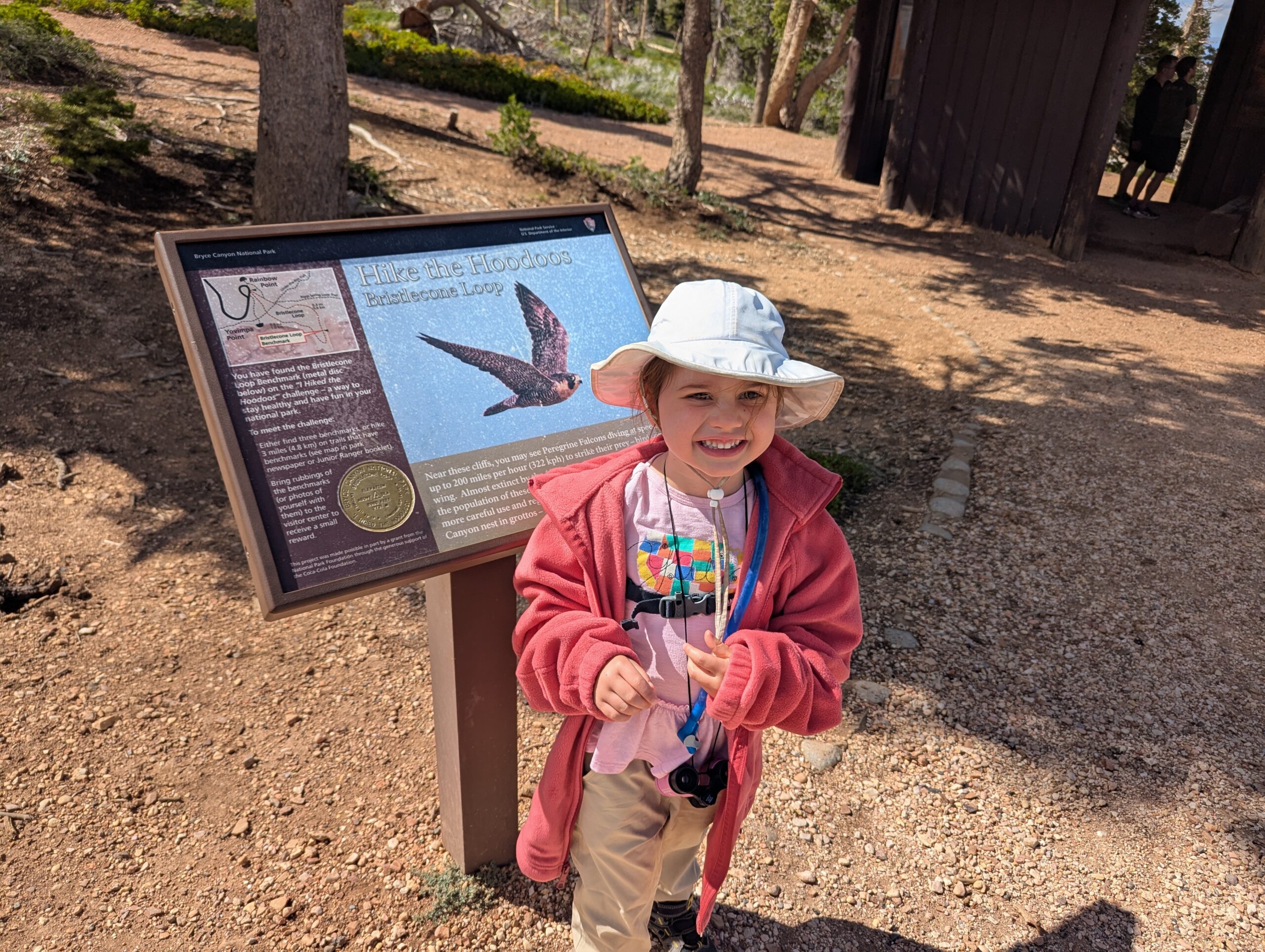
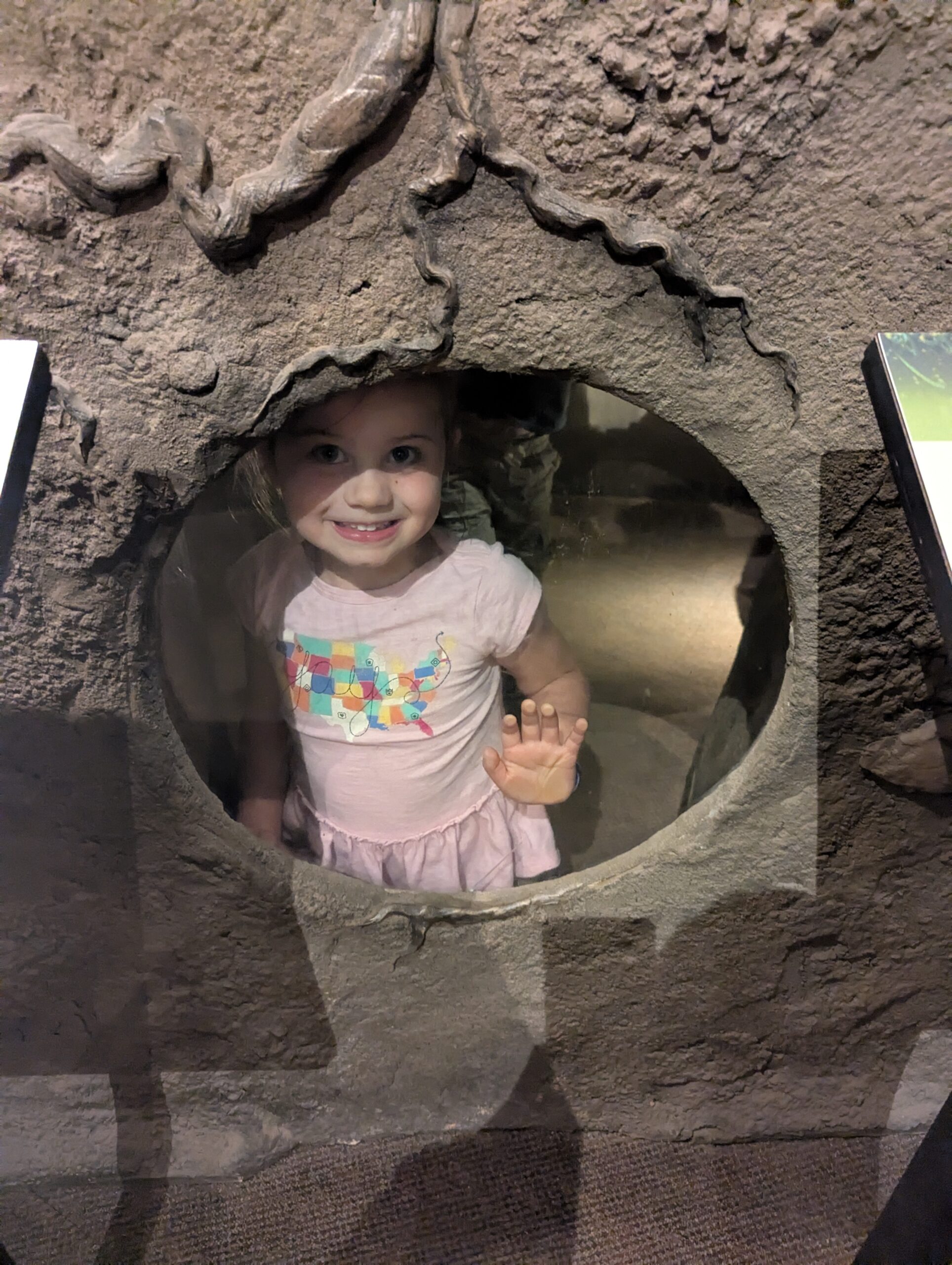
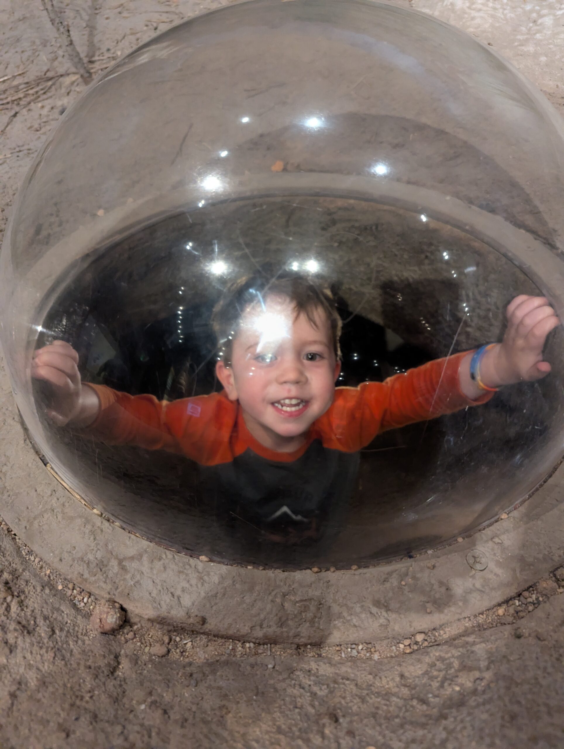
The kids enjoyed the exhibits also, especially the little cave they had.
They say a picture is worth a thousand words, so have a look at many thousands of words of pictures in the gallery.

Those panoramas are breathtaking! How interesting every stop was different. I’ve never been to Bryce Canyon but agree that many of the lookout points at the Grand Canyon look the same.